르 프레니 도아상 최고의 워킹 & 하이킹 경로
4.5
(3639)
38,386
등산객
621
하이킹
정확한 경로를 찾는 것이 때로는 어렵지만 르 프레니 도아상에서 하이킹을 하면 다양한 경치를 마음껏 감상할 수 있답니다. 르 프레니 도아상에서 가장 멋진 하이킹과 워킹 중에서 마음에 드는 활동을 시작해보세요.
마지막 업데이트: 9월 21, 2026
1.0
(1)
3
등산객
6.22km
02:23
430m
430m
보통 하이킹. 좋은 체력 필요. 실력과 관계없이 누구나 쉽게 갈 수 있는 길.
4.7
(27)
238
등산객
8.48km
03:14
360m
360m
보통 하이킹. 좋은 체력 필요. 대부분 갈 수 있는 길. 미끄러지지 않게 조심해야 함.

4.4
(5)
101
등산객
10.3km
03:35
560m
560m
보통 하이킹. 좋은 체력 필요. 실력과 관계없이 누구나 쉽게 갈 수 있는 길.
3.8
(5)
125
등산객
6.31km
02:29
470m
470m
보통 하이킹. 좋은 체력 필요. 실력과 관계없이 누구나 쉽게 갈 수 있는 길.
4.6
(8)
95
등산객
16.1km
05:01
590m
590m
어려운 하이킹. 우수한 체력 필요. 실력과 관계없이 누구나 쉽게 갈 수 있는 길.
더 다양한 경로와 다른 탐험가들의 추천을 살펴보세요.
이미 komoot 계정이 있나요?
투어 추천은 다른 사람들이 komoot에서 완료한 수천 개의 활동을 바탕으로 구성되어 있습니다.
오늘 무료 계정으로 시작하세요
다음 모험이 기다리고 있어요.
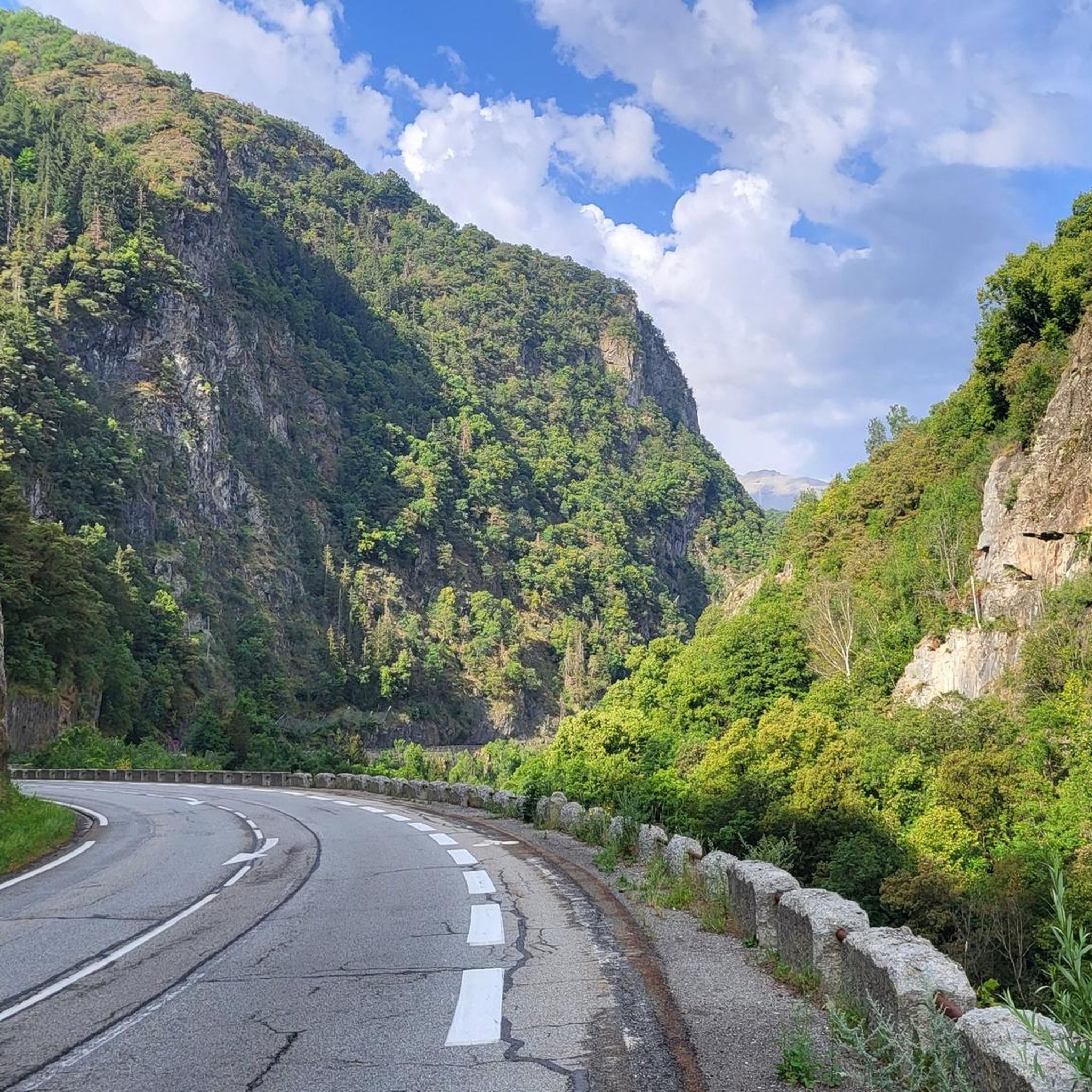
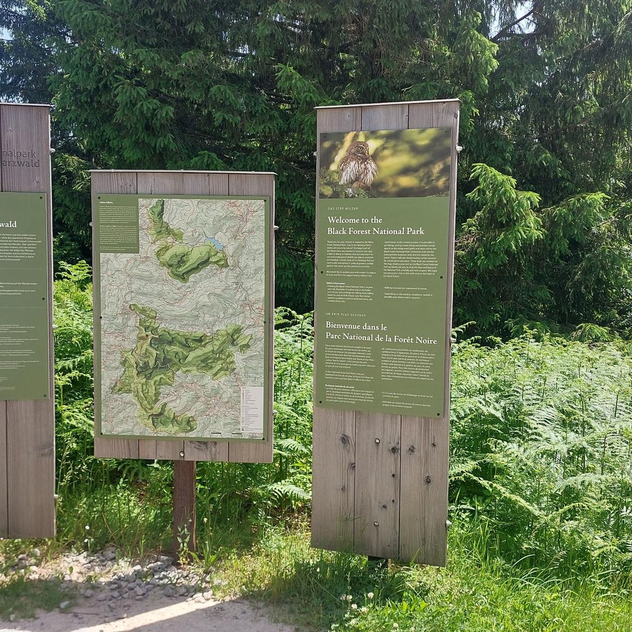
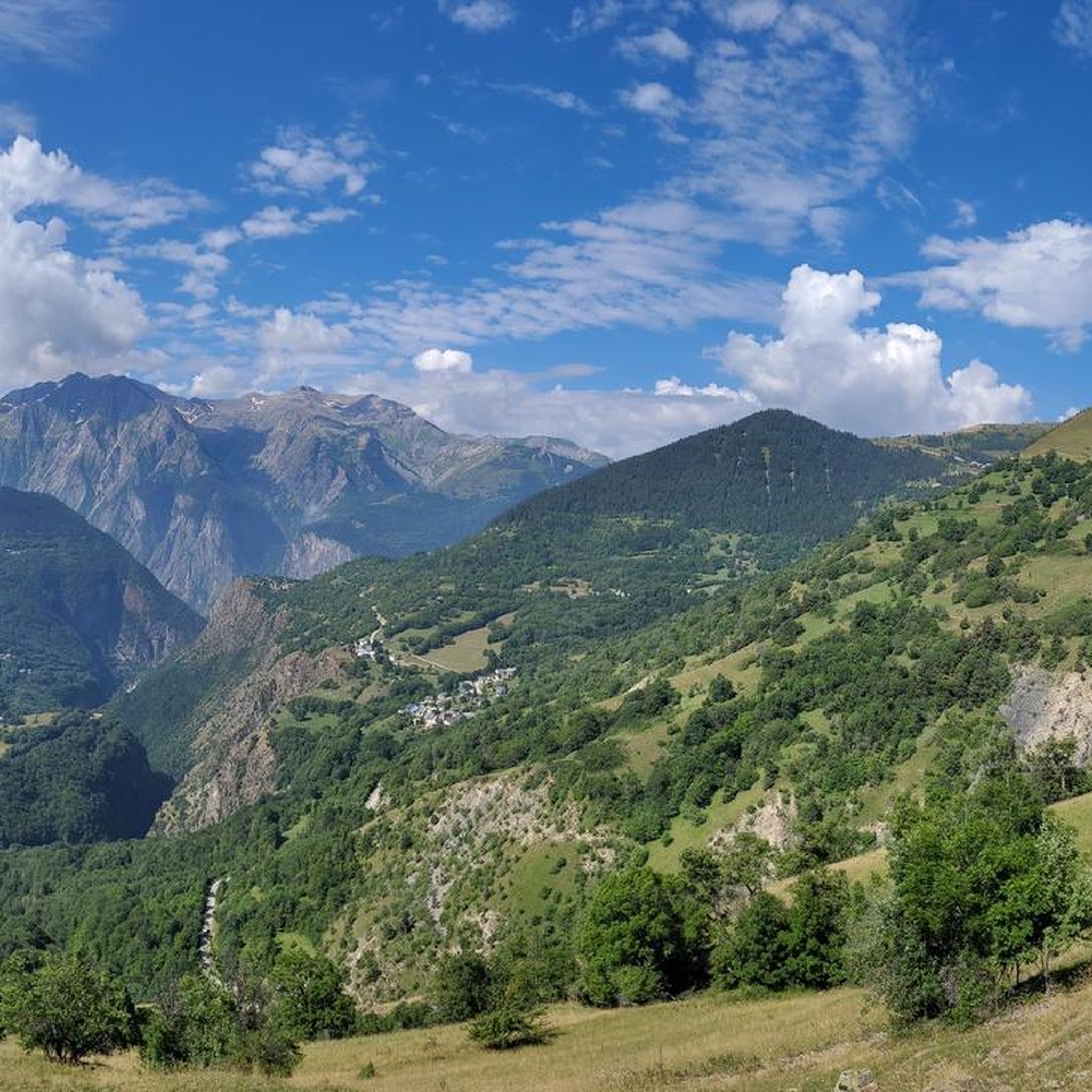


커뮤니티 팁

Écrins 산맥을 마주한 발코니에 자리한 Auris-en-Oisans 마을은 평화롭고 장엄한 환경에 위치해 있습니다. 전통적인 샬레와 Romanche 계곡의 숨 막힐 듯한 전망이 인간적인 규모의 이 마을의 매력을 더합니다.
0
0

The most beautiful hill to climb in these areas.
12
0

There are no crowds here, just you, the mountain, the wind, and the sensation of pedaling on one of the remote peaks of the French Alps. The summit, at almost 2,000 meters, offers a 360° panorama that erases fatigue and ignites the cycling spirit.
5
0

A wonderful welcome at the Refuge des Clos, a short stop with an omelet and croque-monsieur. Excellent, I recommend it.
1
0

Be careful of the clouds so as not to get lost. Very well marked. Be well equipped.
1
0

Photogenic mountain farm on the Col de Sarenne. They have a herd of goats grazing in the hills. You can pick up local cheese for your picnic at the Col's viewpoint.
0
0

르 프레니 도아상 주변에서 가장 인기 있는 명소


더 살펴보기
다른 지역의 최고의 하이킹를 살펴보세요.
