ウーダースドルフのおすすめランニングルート
4.4
(818)
3,944
ランナー
242
ランニング
ウーダースドルフでランニングを楽しめば、このエリアをより深く知ることができます。ランニングに適した美しいルートが見つかるように、komootがウーダースドルフでのルートのコレクション全体を評価して選び抜いた、人気ランニングトレイルをご紹介します。ルートをクリックして詳細を表示し、他のユーザーがアップロードした役立つ情報や写真を閲覧しましょう。
最終更新日: 10月 13, 2026
4.0
(8)
38
ランナー
8.52km
01:04
280m
280m
中程度のジョギング. ある程度のフィットネスレベルが必要です。 全般的に舗装された状態です。あらゆるスキルレベルに適しています。
4.9
(7)
48
ランナー
5.23km
00:34
90m
90m
中程度のジョギング. ある程度のフィットネスレベルが必要です。 全般的に舗装された状態です。あらゆるスキルレベルに適しています。

4.8
(4)
37
ランナー
25.4km
02:45
380m
380m
難しいジョギング. 標準以上のフィットネスレベルが必要です。 全般的に舗装された状態です。あらゆるスキルレベルに適しています。
5.0
(1)
20
ランナー
13.6km
01:33
330m
330m
難しいジョギング. 標準以上のフィットネスレベルが必要です。 全般的に舗装された状態です。あらゆるスキルレベルに適しています。
2.0
(1)
11
ランナー
26.8km
03:06
460m
460m
難しいジョギング. 標準以上のフィットネスレベルが必要です。 安定して歩行できる技術、丈夫な靴、高標高地での登山経験が必要です。
さらに多くのルートや他のユーザーのおすすめ情報を確認できます。
すでにアカウントをお持ちですか?
おすすめのツアーは他のkomootユーザーが実際に経験した何千ものアクティビティに基づいています。
無料アカウントで今日から始めよう
次の冒険が待っています。



コミュニティからのヒント

Nice start for the 12th Eifelsteig stage from Manderscheid to Himmerod
0
0

Eifelsteig stage 12 passes at this point. https://youtu.be/EGc9DxGhyIM
0
0

"Old Station" Schalkenmehren Passenger service between Daun and Wittlich was discontinued on November 1, 1981. Schalkenmehren. Approaching the Old Station in Schalkenmehren on the former railway line, today's Maare-Mosel cycle path, and seeing the station building, it's hard to believe that it was opened as a fourth-class railway station exactly 100 years ago. But how did it all begin 100 years ago? Surveying for the Daun-Wittlich railway line began as early as 1897. General preparatory work for the single-track line began in 1907. But it would take some time before the Daun-Schalkenmehren-Gillenfeld section opened on December 1, 1909, with the line running over the 28-meter-high Daun viaduct and through the 560-meter-long Schalkenmehren railway tunnel, "Großes Schlitzohr" (Great Sly Fox). The extension from Gillenfeld to Manderscheid to Pantenburg was completed on May 1, 1910, and the extension from Manderscheid-Pantenburg to Wittlich, signifying the completion of the entire line, was completed on July 1, 1910. The completion of the Daun-Wittlich railway line brought rapid development to the village of Schalkenmehren. In the first year of the line's existence (1910), 18,968 tickets were sold in Schalkenmehren, followed by 25,057 in 1913, 27,969 in 1919, and even 30,279 in 1922. In addition, Schalkenmehren station was designed for general cargo traffic and the receipt and dispatch of wagonloads. Text / Source: www.volksfreund.de/ https://www.volksfreund.de/region/vulkaneifel/ein-schmuckstueck-fuer-nostalgiker_aid-5712448
15
0

beautiful fountain in the middle of Manderscheid
0
0

In the wooded section between the Lieser and Gemünden Maar lakes, hikers and walkers encounter a war memorial. The complex is constructed of stone in a comparatively large semicircle, but the overall appearance leaves me somewhat perplexed: Only the middle of the seven sections created by the vertical structure of the memorial bears a plaque. On the others—three on each side, which, like a window, offer a view of the treetops behind—I would have expected similar plaques, mostly listing the names of the victims who lost their lives in the two terrible world wars in the first half of the last century.
2
0

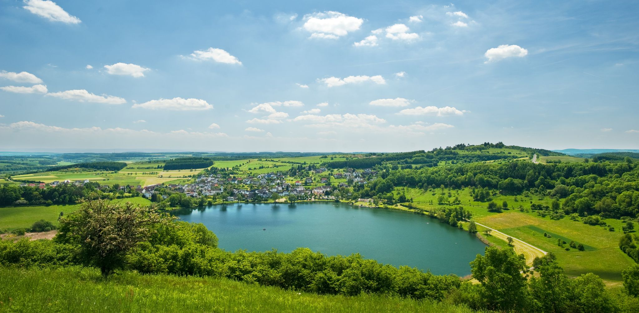
From the hills around the Schalkenmehrener Maar you have different views of the village and the almost circular water surface. One view is more beautiful than the other. Sometimes you see the St. Martin Church reflected in the water, or you can see a dry maar or the adjacent maar with fen.
2
0

The fountain, created by the Eifel artist Johann Baptist Lenz, stands on the forecourt of the former municipal administration (from 2018, the doctors' center). The fountain is set into depressions in the forecourt floor, next to it in the form of a tree, which is decorated with words of wisdom, sayings, etc. and which children climb. In front of it is a figure in uniform and spiked helmet, probably a municipal police officer from the Prussian era. The so-called "criers" or "criers" existed in every village until the end of the 1950s. If the administration or the local mayor had something to announce, the municipal servant walked through the village with a bell, stopped at prominent points, rang his bell and read out the official announcement. In some villages, people held "Gemeen" (congregation) and announced the news after Sunday mass on the church square copied from: https://kulturdb.de/einobjekt.php?id=39069
1
0

The Niederburg can be explored with guided tours - even at night - or on your own; it is only closed in bad weather. It was expanded into a magnificent, fortified seat of power in the 12th century by the noble family of the Lords of Manderscheid. Source: https://www.eifel.info/a-manderscheider-burgen
55
0

komootモバイルアプリでインスピレーションを得よう


さらに探索
他の地域の最高のランニングトレイル & ルートを見てみましょう。
