デルレンバッハのおすすめ登山&山歩きルート
5.0
(3)
21
ハイカー
SüdlicheWeinstraßeの山々をもっと探索しませんか?このガイドでご紹介するのは、komootがデルレンバッハでの登山&山歩きのコレクション全体を評価して選び抜いた、このエリアの人気ルートです。あなたに合ったルートを見つけるには、他のユーザーがアップロードした役立つ情報や写真を閲覧し、クリック操作で簡単に表示できる詳細なデータを参考にしましょう。デルレンバッハでの次の冒険にぴったりの登山&山歩きルートが見つかるはずです。
最終更新日: 9月 25, 2026
4
ハイカー
6.49km
02:11
250m
250m
中程度の登山ルート. ある程度のフィットネスレベルが必要です。 全般的に進みやすいルートです。安定して歩行できる技術が必要です。
5.0
(1)
11
ハイカー
9.81km
03:27
370m
370m
中程度の登山ルート. ある程度のフィットネスレベルが必要です。 全般的に進みやすいルートです。安定して歩行できる技術が必要です。

5.0
(2)
6
ハイカー
15.2km
04:32
460m
460m
中程度の登山ルート. ある程度のフィットネスレベルが必要です。 進みやすいルートです。あらゆるスキルレベルに適しています。
おすすめのツアーは他のkomootユーザーが実際に経験した何千ものアクティビティに基づいています。
無料アカウントで今日から始めよう
次の冒険が待っています。
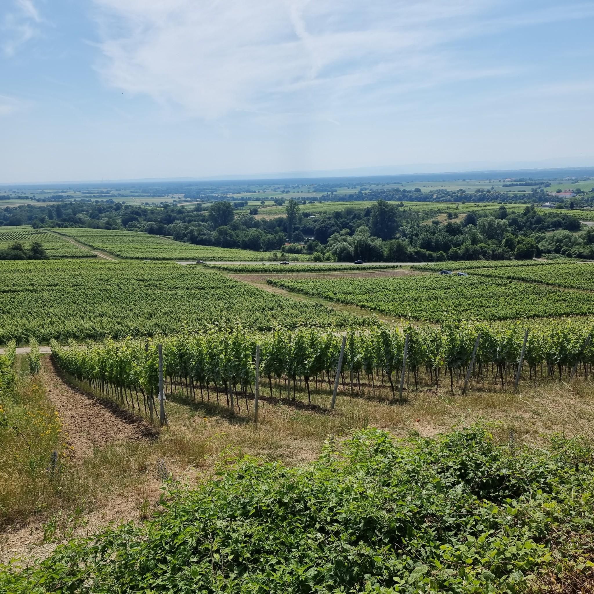
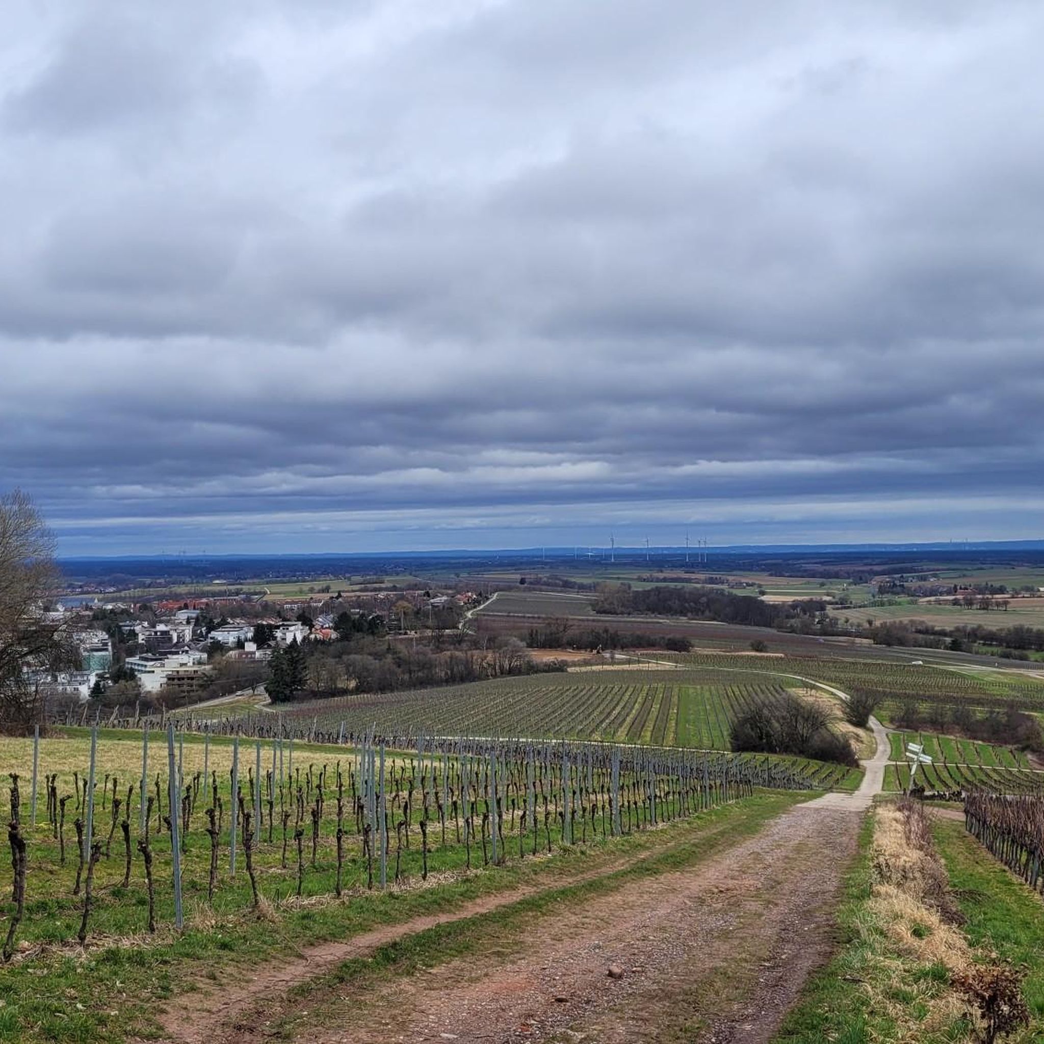
デルレンバッハでのの他の冒険

コミュニティからのヒント

Dimbacher Buntsandstein Höhenwegは、プファルツァーヴァルトにある約9.5kmのプレミアム円形ハイキングコースで、特に特徴的なIsselmannsteineを通過します。
2
0
Dimberg(420m)の頂上と岩棚からは、Dimbacher Buntsandstein-Höhenwegをたどって、谷、Dimbachの村、そして北東の印象的なGeiersteineまでの素晴らしい眺めを楽しめます。
3
0
Rötzenbergは、Dimbacher Buntsandstein Höhenweg沿いにあり、WasgauとPfälzerwaldの木々に覆われた丘の素晴らしいパノラマビューを提供しています。Rötzenfels自体は、Rötzenberg(約457mの高さ)にある巨大で険しい断崖のBuntsandstein(三畳紀砂岩)の岩です。
1
0

And we owe it to the formation of the Alps... they press down on the Earth's crust, which couldn't withstand the pressure... and broke apart and was pushed upwards.
7
0

You can see it from the reddish sheaf: these rocks consist, among other things, of Dandstein, a legacy of the Ice Age.
5
0

Beautiful resting place right next to a sandstone cliff, and right next to it is the shaving area for elves (with power socket!).
5
0
This magnificent rock formation is reached via a path marked "difficult" as part of the Bärensteig trail. The trail is easily manageable, though "difficult" probably only because the path is somewhat steep in places.
7
0

A bit bumpy from the parking lot, but easily accessible - at least as far as the clearing with the impressive east wall.
3
0

komootモバイルアプリでインスピレーションを得よう


さらに探索
他の地域の最高の登山ハイキング & ルートを見てみましょう。
