シッタールゲレンデ周辺のアトラクション&必見スポット - トップ20
シッタールゲレンデには必見のスポットがたくさんあります。ハイキング愛好家やサイクリング愛好家の方は、ぜひシッタールゲレンデを探索してこのエリアにある20
の隠れたスポットを訪れてみてください。このエリアの必見スポットを確認し、次の冒険に出かける計画を立てましょう。
最終更新日: 9月 12, 2026
マース川堤防サイクリングロード
ハイライト (セグメント) • サイクリングロード
翻訳者 Google •
役立つ情報 は

Roode Beekの池と砂浜
ハイライト • 湖
翻訳者 Google •
役立つ情報 は

今すぐサインアップして、こんな場所を発見しよう
最高のシングルトラック、ピーク、その他のエキサイティングなアウトドアスポットのおすすめを受け取ろう。
ゲール川沿いのマールの崖
ハイライト • 峡谷
翻訳者 Google •
役立つ情報 は

Connecterra, ホーゲ・ケンペン国立公園
ハイライト • 記念碑
翻訳を表示中
役立つ情報 は

Brunssummerheide自然保護区
ハイライト • 自然記念物
翻訳者 Google •
役立つ情報 は

無料でサインアップして、さらに多くの観光スポットを発見しましょう シッタールゲレンデでの。
すでにアカウントをお持ちですか?
無料アカウントで今日から始めよう
次の冒険が待っています。
シッタールゲレンデ周辺で人気
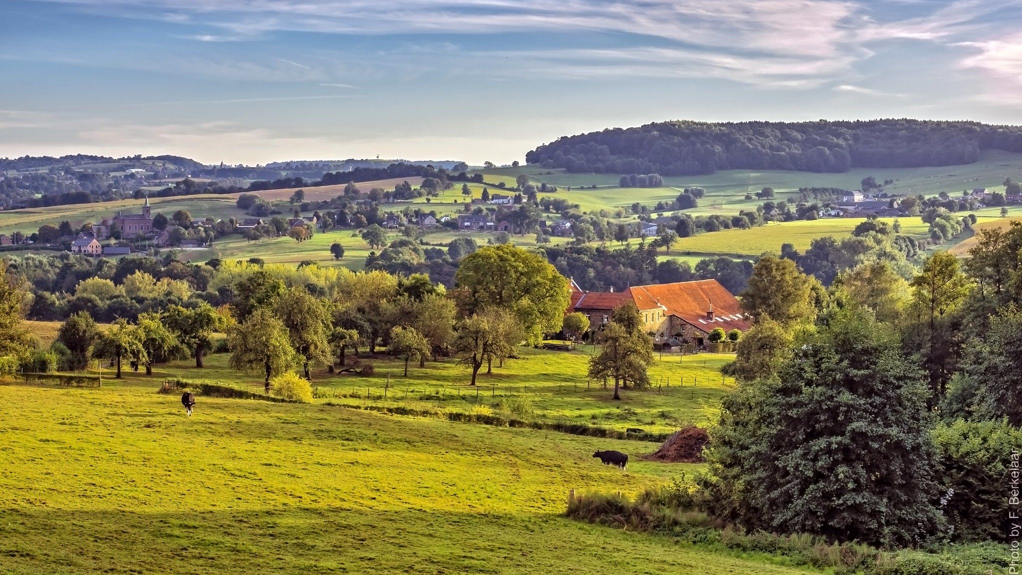
ʼs-ホルトゲンボスヒュからマーストリヒュト(そしてそれ以上)– ペルグリムロード第2部
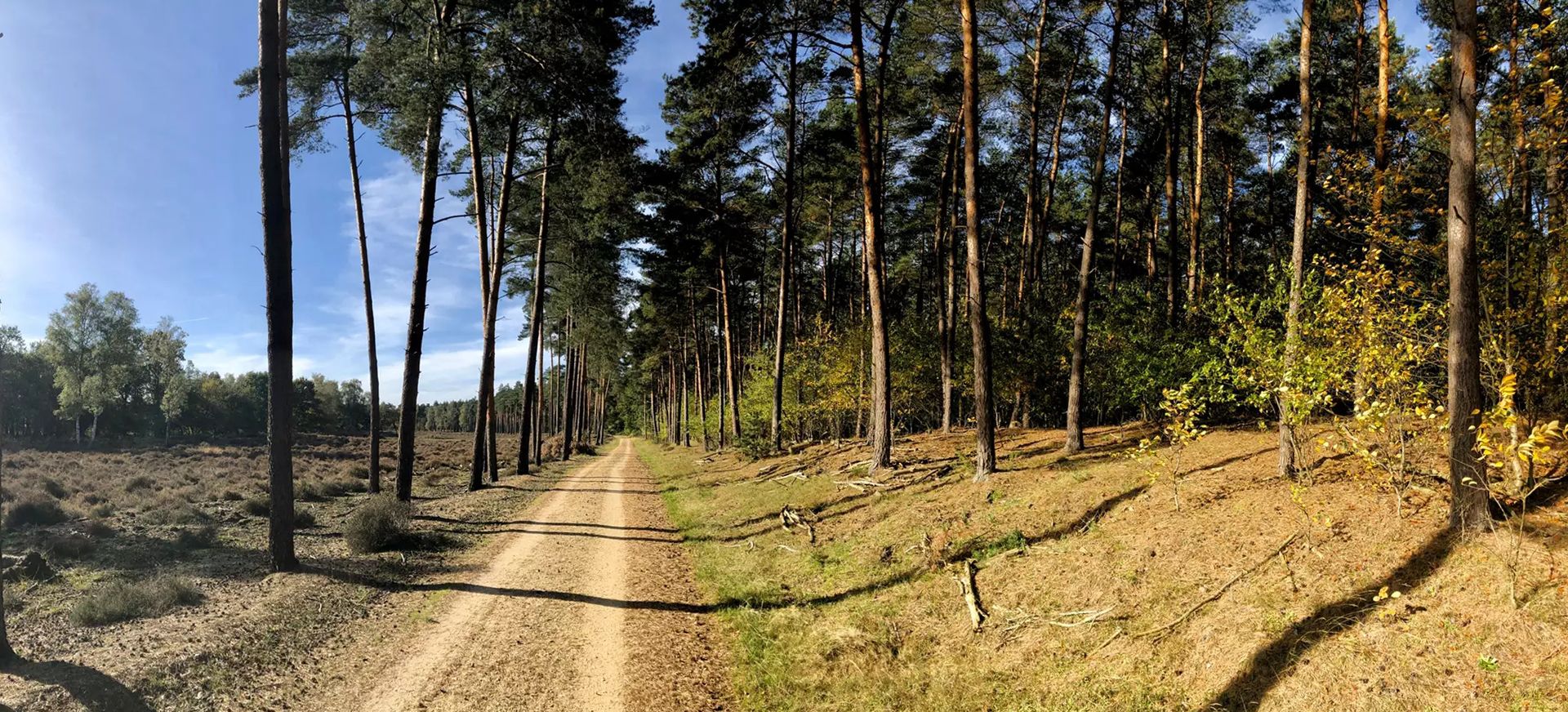
ドイツからオランダへのサイクリング - 2カ国ルート
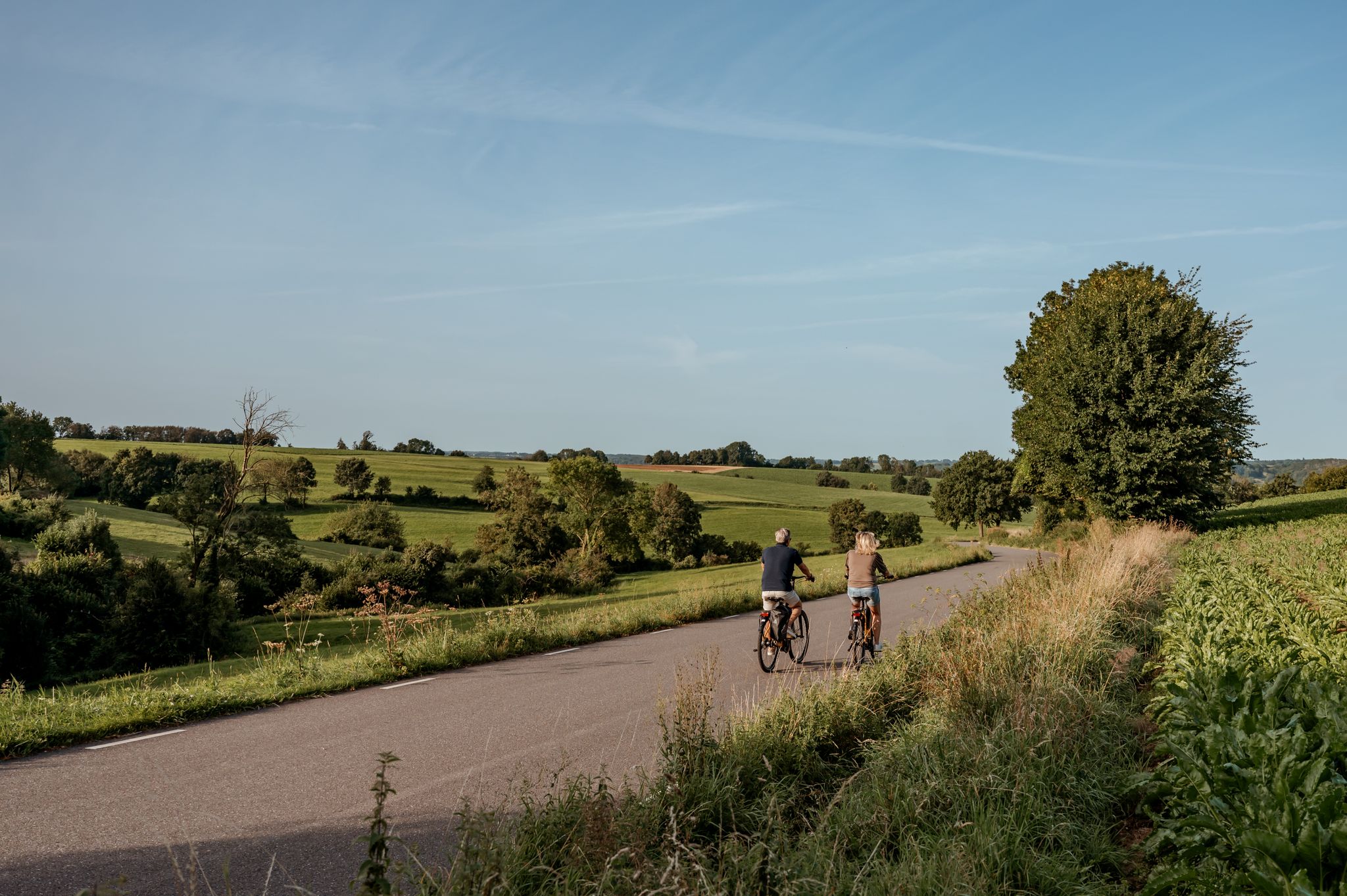
The best of South Limburg by bike
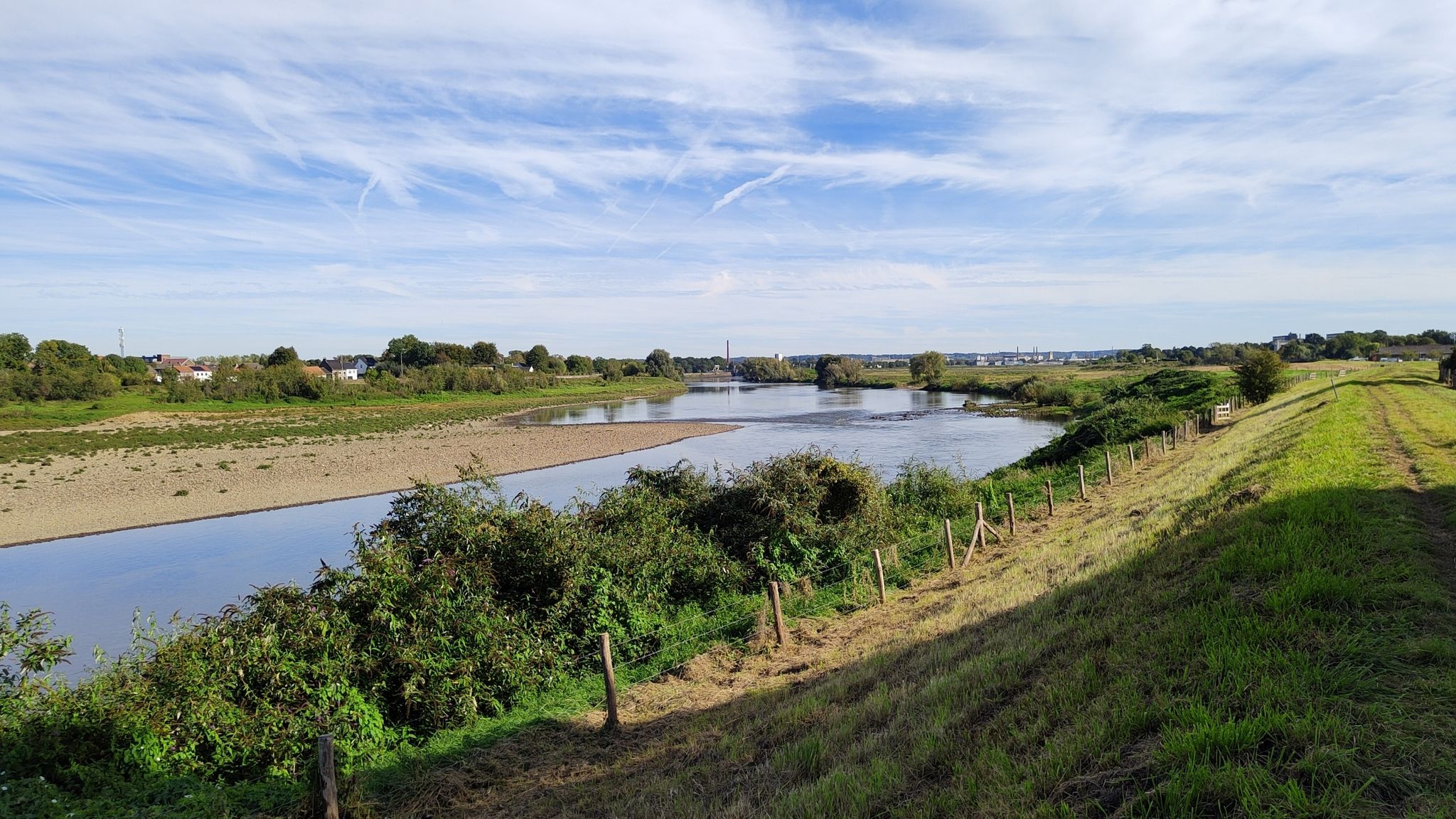
発見リーファnatuur – 6 リーファンワンデリングen リーファパーク Maasvallei
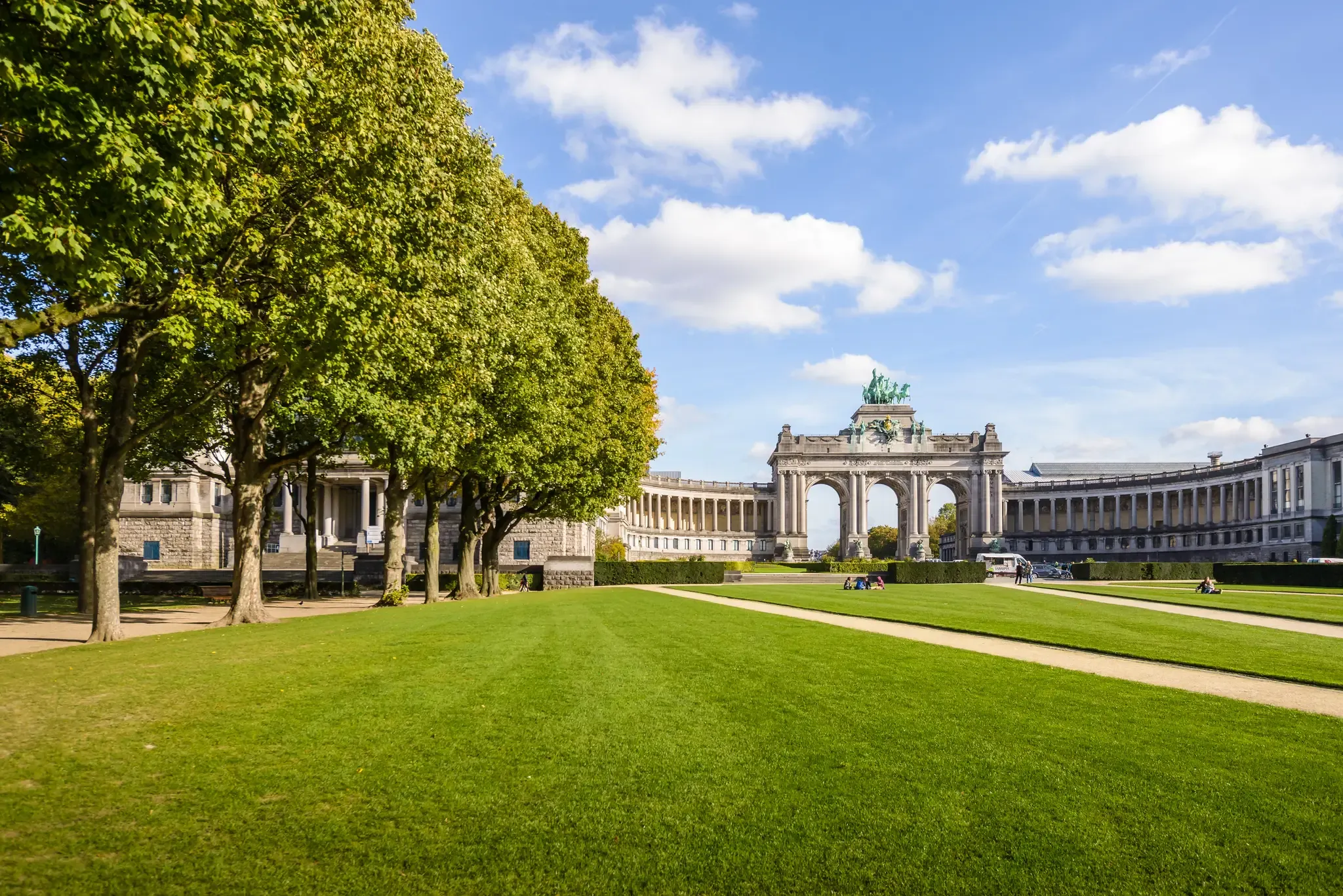
コロンからブリュッセルへ三か国を通り抜けてサイクリング
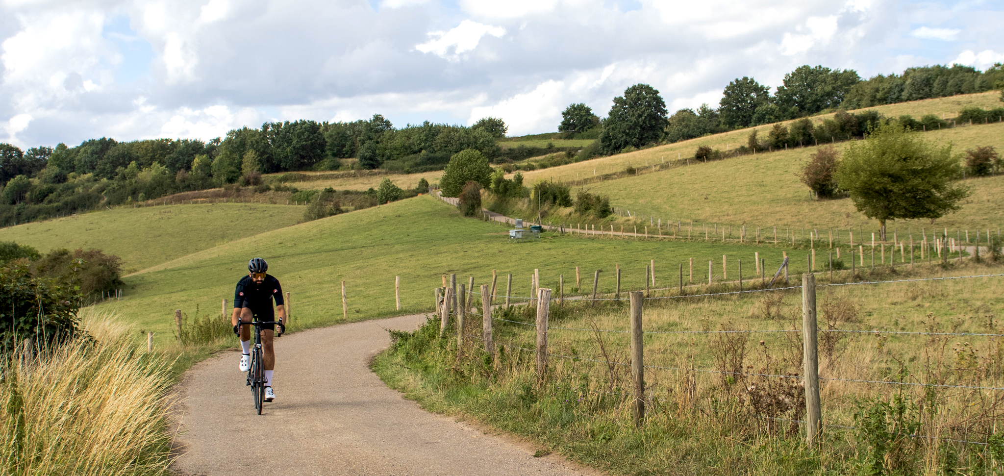
Cross-border cycling in South Limburg – the alternative routes
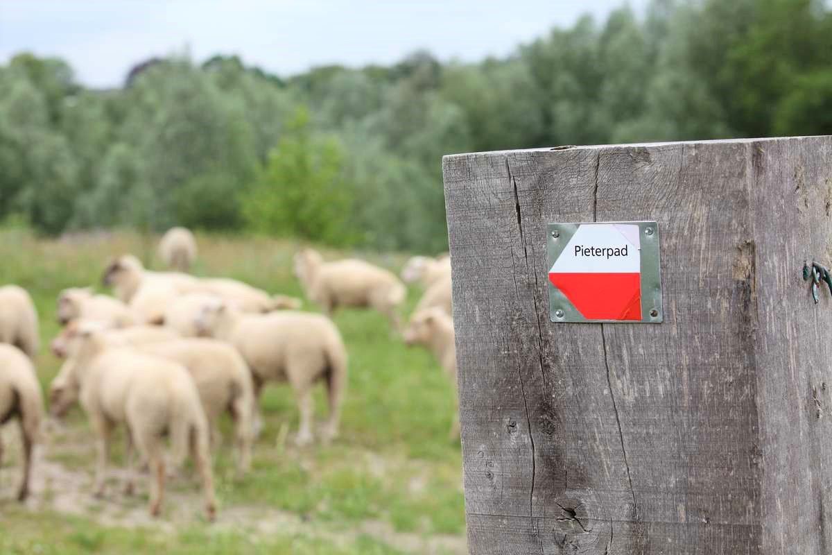
ヴォルデン城からピーテルベルグまで – ピーテルパット部分2
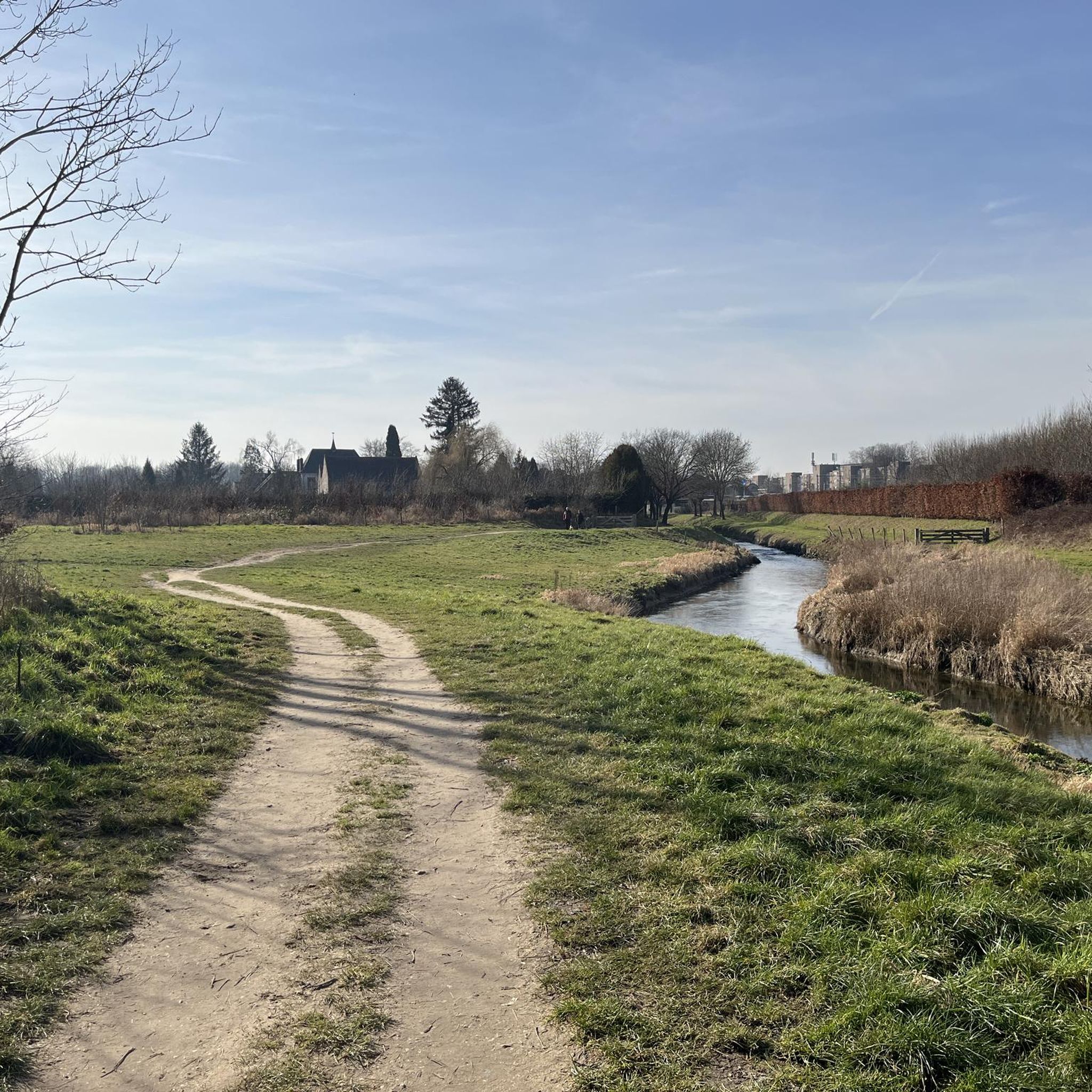
シッタールゲレンデでのハイキング
シッタールゲレンデのロードバイクルート
シッタールゲレンデのMTBトレイル
シッタールゲレンデでのの他の冒険


コミュニティからのヒント

Connecterraはホーヘ・ケンペン国立公園への主要な玄関口です。このユニークなエリアは、Eisdenの旧炭鉱跡地にあり、Dilsen-Stokkemに隣接しています。25年前、炭鉱はまだフル稼働していましたが、今ではまさに自然の楽園となっています。自然と文化遺産の双方を尊重し、今後数年間のこのエリアのための大きな計画が進行中です。ハイキングエリアは整備されており、ルートからはフランドル地方で最も美しいパノラマの一部を眺めることができ、山と湖の息をのむような景色が広がっています。合計5つのルートがこのエリアを案内します。ハイキングエリアは「Mechelse Heide」と「Station As」のハイキングコースに接続されています。新しいビジターセンターでは、国立公園に関する情報を見つけたり、ティールームで飲み物を飲みながらリラックスしたりできます。外には、子供たちが遊具で楽しめる遊び場があります。らせん状の塔は1階までアクセス可能で、Connecterraが提供するものの片鱗を見ることができます。
2
0

The coal mining past lives on...
8
2

Along the rippling Geul River, an impressive marlstone wall rises, a silent witness to Limburg's underground landscape. These calcareous rocks were used for centuries for construction and crafts and now offer a fascinating sight for hikers and nature lovers. The wall forms a natural boundary along the water and, in some places, harbors small caves and niches where flora and fauna have found a home. The contrast of the white marl against the green foliage and the glistening water of the Geul makes this a particularly photogenic and tranquil spot during your walk.
0
0

Beautiful part of the walk along the Geul
0
0

The two winding towers commemorate the history of coal mining. In less than a decade, the history of coal mining in the Hoge Kempen region drastically changed the landscape. The last coal mine (Eisden) closed in 1901. In those 1989 years, the landscape transformed from a "rural" landscape of mainly heathland, moors, and dunes to an "industrial" landscape with winding towers, slag heaps, pine forests for timber harvesting, and quarries for raw materials.
3
1

When the path that has been running between slopes and sloping forest on one side and the Geul on the other side suddenly starts to rise a bit, you know what is coming: part of the marl crops out and offers you a glimpse of what you can discover if you take one of the paths away from the Geul: quarries and marl.
6
0
The western headframe of the former Eisden mine was converted into the Visitor Center of the Hoge Kempen National Park. Those who choose Terhills as a base for exploring the National Park will be guided through the headframe, with a cafeteria, shop and information center on the ground floor. The existing wooden reception building has been preserved but has a different function. https://www.nationaalparkhogekempen.be/nl/schachtbok
10
2
シッタールゲレンデでのの人気観光スポット

komootモバイルアプリでインスピレーションを得よう


さらに探索
まだ探しているハイライトが見つかりませんか?他の地域のトップアトラクションのガイドを見てみましょう:
