ルート

プランナー

機能

アップデート

App

ログインまたはサインアップ

アプリを入手

ログインまたはサインアップ

ルート
ランニングコース
ドイツ
バイエルン

オーバープファルツ

オーバープファルツのおすすめランニングルート

4.4

(5810)

102,915

ランナー

7,255

ランニング

オーバープファルツでランニングを楽しめば、このエリアをより深く知ることができます。ランニングに適した美しいルートが見つかるように、komootがオーバープファルツでのルートのコレクション全体を評価して選び抜いた、人気ランニングトレイルをご紹介します。ルートをクリックして詳細を表示し、他のユーザーがアップロードした役立つ情報や写真を閲覧しましょう。

最終更新日: 8月 7, 2026

4.5

(8)

727

ランナー

#1.

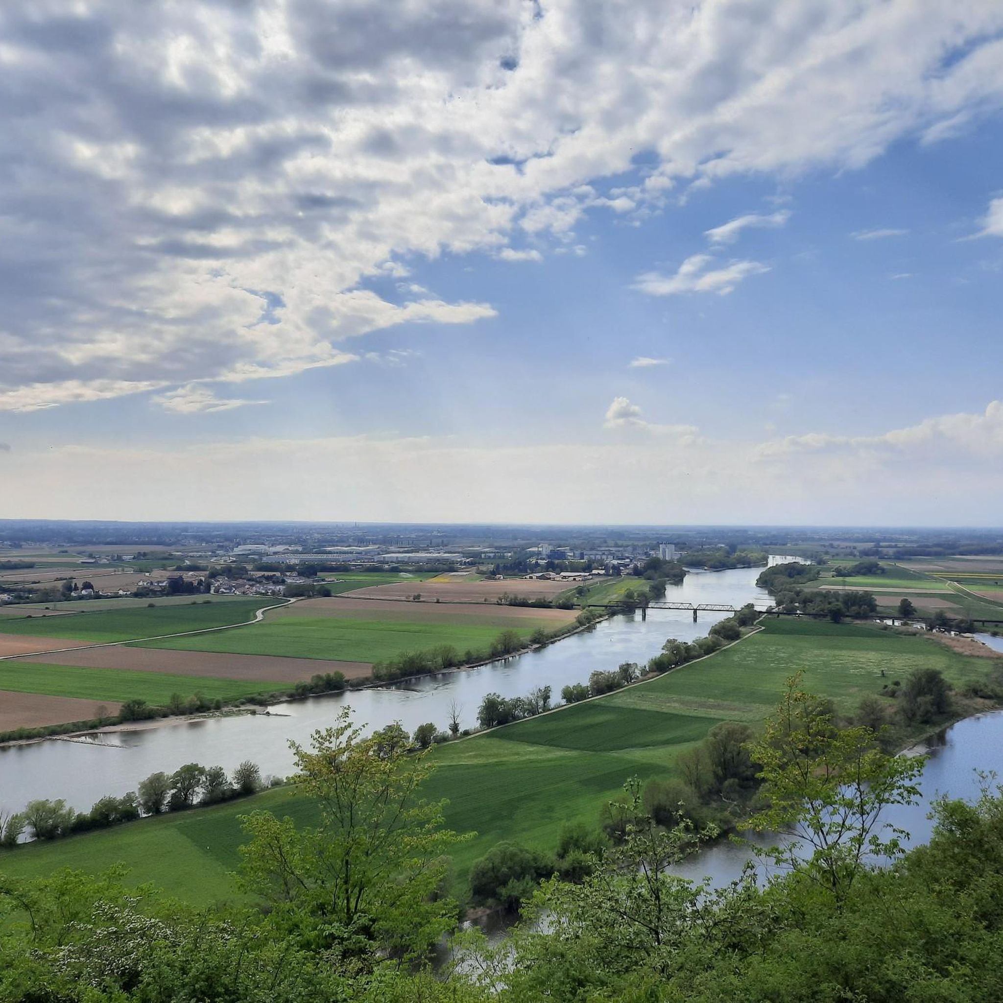
Regensburg Hauptbahnhofから出発する マリアオルトのナーブ橋 – ドナウ断崖の眺め ループコース

20.5km

02:09

70m

70m

難しいジョギング. 標準以上のフィットネスレベルが必要です。 全般的に舗装された状態です。あらゆるスキルレベルに適しています。

デバイスでナビ

スマートフォンに送信

保存

難しい

中程度のジョギング. ある程度のフィットネスレベルが必要です。 全般的に舗装された状態です。あらゆるスキルレベルに適しています。

中程度
guide_signup
私たちがkomootモバイルアプリで道を示します
無料の komoot アカウントがあれば、無限のアウトドアコースを簡単に見つけてカスタマイズし、ナビで案内できます。

無料新規登録

中程度のジョギング. ある程度のフィットネスレベルが必要です。 全般的に舗装された状態です。あらゆるスキルレベルに適しています。

中程度

中程度のジョギング. ある程度のフィットネスレベルが必要です。 全般的に舗装された状態です。あらゆるスキルレベルに適しています。

中程度

中程度のジョギング. ある程度のフィットネスレベルが必要です。 全般的に舗装された状態です。あらゆるスキルレベルに適しています。

中程度

中程度のジョギング. ある程度のフィットネスレベルが必要です。 全般的に舗装された状態です。あらゆるスキルレベルに適しています。

中程度

中程度のジョギング. ある程度のフィットネスレベルが必要です。 全般的に舗装された状態です。あらゆるスキルレベルに適しています。

中程度

中程度のジョギング. ある程度のフィットネスレベルが必要です。 全般的に舗装された状態です。あらゆるスキルレベルに適しています。

中程度

中程度のジョギング. ある程度のフィットネスレベルが必要です。 全般的に舗装された状態です。あらゆるスキルレベルに適しています。

中程度

中程度のジョギング. ある程度のフィットネスレベルが必要です。 全般的に舗装された状態です。あらゆるスキルレベルに適しています。

中程度
無料新規登録すると、オーバープファルツでのでのランニングをさらに7,246件ご覧いただけます。

さらに多くのルートや他のユーザーのおすすめ情報を確認できます。

無料新規登録

すでにアカウントをお持ちですか?

おすすめのツアーは他のkomootユーザーが実際に経験した何千ものアクティビティに基づいています。
無料アカウントで今日から始めよう

次の冒険が待っています。

ログインまたは登録

オーバープファルツ周辺で人気

レーゲンスブルクのランニングコース

バイエルンの森のランニングコース

オーバープファルツのヴァイデンのランニングコース

シュヴァンドルフのランニングコース

アンベルクのランニングコース

アンベルク=ズルツバッハのランニングコース

チャムのランニングコース

ノイシュタットアンデアヴァルトナープのランニングコース

ノイマルクト・イン・デア・オーバープファルツのランニングコース

Naturpark Oberer Bayerischer Waldのランニングコース

オーバープファルツでのの他の冒険

ランウァイルド - ドイツ全国のトレールランニングルート

ランニングのコレクション によって

The Female Explorer

コミュニティからのヒント

Freelancer 🥾 🚵 🏍️🏃‍♂️
7月 3, 2026, View from Safferlingsteg Bridge

歩行者と自転車のための橋が線路を跨いでおり、歩行者と自転車が安全に渡れるようになっています。また、橋からは賑やかなレーゲンスブルク中央駅の眺めも楽しめます。電車を撮影するのに理想的な場所です。

Google翻訳による翻訳

2

0

素晴らしい地域にある素晴らしいトレイルセクション

Google翻訳による翻訳

1

0

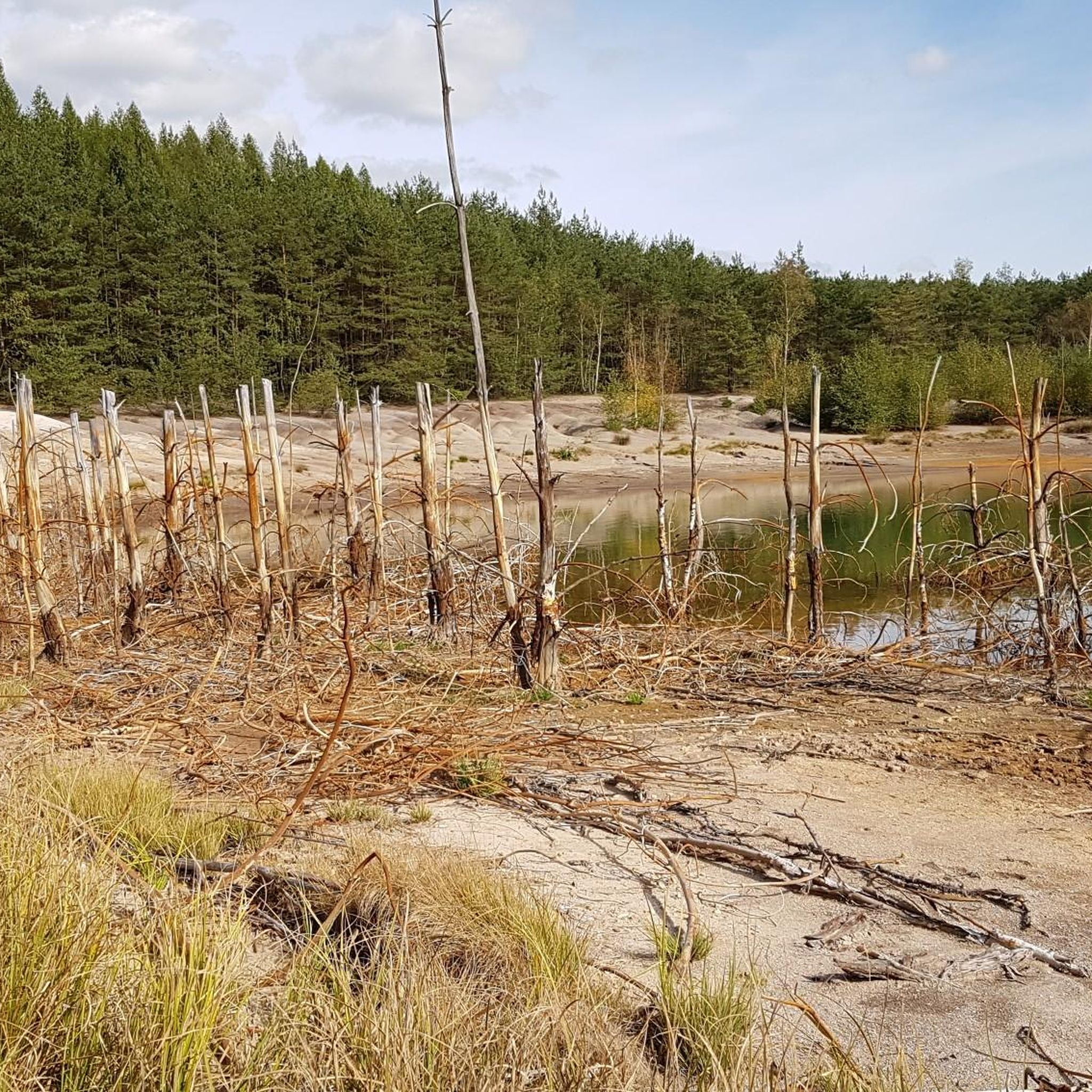
Knappensee The lake's origins can be traced back to the cessation of lignite mining by the Bavarian lignite industry in the 1980s. Flooding of the pit began in 1981, creating the lake with an area of 55 hectares and an average depth of 5 meters (deepest point: 6.5 meters). It is approximately 1 kilometer long and 460 meters wide. The lake's name likely derives from the miners' association or the miners of the open-cast mine, whose work led to its creation after mining operations ceased. The "Knappensee Circular Trail" was created around the lake. Since 2012, this trail, offering 3,900 meters of hiking and cycling routes, has been intended to support tourism in the region. Two-thirds of the circular trail lies within the municipality of Wackersdorf. A parking lot for cars is available on the south side. The water quality of the lake is monitored by the Weiden Water Management Office in the Upper Palatinate region using a measuring station located in the northern third of the lake. The measurement data is available from the Bavarian State Office for the Environment. After the open-cast mine was flooded, the lake water was highly acidic (pH value in 1998: 3.6); however, this has since changed unexpectedly, as the pH value is now reported to be 6.8. Fishing in the lake is permitted only with a fishing license and a local day permit, with a maximum catch of 5 fish per day. Source: Excerpts from www.wikipedia.de

Google翻訳による翻訳

3

0

In 2007, the Czech association "Terra Tachovia" conceived the idea of erecting milestones of time along the Golden Road, the important medieval trade route between Nuremberg and Prague. This resulted in a cross-border work of art. 43 stone works of art have now been erected along the route. In Weiden, the milestone is dedicated to the composer Max Reger.

Google翻訳による翻訳

10

0

"Strength lies only in joint action" is inscribed on this memorial stone at the entrance to Max Reger Park. Citizens of Weiden donated the engraved granite block in 1955 under Mayor Hans Schelter. Schelter, born in Röthenbach near Arzberg in 1905, had already been a SPD city councilor in his hometown until 1933. After the Second World War, he came to Weiden, was elected to the city council in 1946, and won direct election as mayor in 1952. He shaped the city primarily through major construction projects and promoted sponsorships and partnerships (home districts of Tachau, Issy-les-Moulineaux, and Macerata). He remained in office until April 30, 1970.

Google翻訳による翻訳

9

0

The Lower Gate is the only one of eight city gates in the medieval city wall that has survived to this day. It was originally built with the wall around 1350, based on a decree by Emperor Charles IV in 1347. During the Thirty Years' War, the gate was severely damaged by enemy fire in 1635. The necessary reconstruction was then largely carried out in its current form. In 1945, the gate was damaged again when an American tank crashed into it. This, however, created the opportunity to create a pedestrian passageway. This idea was realized in 1955.

Google翻訳による翻訳

9

0

Two mighty pedunculate oaks dominate Schlörplatz. In 1824, a jubilee oak was planted here to mark the 25th anniversary of the reign of Maximilian I Joseph, the Bavarian ruler of the House of Wittelsbach (initially as Elector from 1799, and as King from 1806). Beneath it stands the monument to Gustav von Schlör. This jubilee oak at the monument and the Peace Oak in the center of the square (donated in 1871 by Josef Fiedler of Almesbach) are pedunculate oaks, which quickly form a wide-spreading crown on a short trunk.

Google翻訳による翻訳

9

0

The small Nepomuk Chapel at the entrance to Max Reger Park, officially called the "Bridge Chapel of St. John Nepomuk," was built starting in 1738. It was prompted by a vow by Imperial Austrian Field Marshal Christoph Rudolf Fellner von Feldegg, who, faced with the shaky bridge over the Waldnaab River, vowed that if his troops crossed the river unscathed, he would donate a chapel. Shortly thereafter, von Feldegg fell in 1739 in the Battle of Grocka during the Russo-Austrian Wars against the Turks near Belgrade. The sandstone statue of St. John Nepomuk was created by the Nabburg sculptor Johann Franz Dult.

Google翻訳による翻訳

12

0

オーバープファルツでのの人気ルート

オーバープファルツのファミリーハイキング

オーバープファルツでのの人気観光スポット

Natural Monuments

Store rating

komootモバイルアプリでインスピレーションを得よう

無料のkomootアカウントがあれば、無限のアウトドアコースを簡単に見つけてカスタマイズし、ナビで案内できます。

または

今すぐkomootに参加しよう

Store rating

探していたものは見つかりませんでしたか?

オーバープファルツの下にある他のランニングトレイル & ルートをチェックして、目的地で完璧なルートを見つけましょう。

シュヴァンドルフノイマルクト・イン・デア・オーバープファルツティルシェンロイスオーバープファルツのヴァイデンアンベルクレーゲンスブルクノイシュタットアンデアヴァルトナープアンベルク=ズルツバッハバイエルンの森チャムNaturpark Oberer Bayerischer Wald

探索できるほかのスポット

オーバープファルツの自然保護区

近くのアドベンチャーガイド

シュトゥルンでやるべきこと

background

新しいピークを征服する準備をしよう

無料でサインアップ

探検する
ルートルートプランナー機能バウチャーを利用ハイキングMTBトレイルロードバイクルートバイクパッキングサイトマップ
アプリをダウンロード
SNSでフォローする

© komoot GmbH

プライバシーポリシー