ローテンブルクオプデアタウバーのおすすめランニングルート
4.4
(53)
884
ランナー
96
ランニング
ローテンブルクオプデアタウバーでランニングを楽しめば、このエリアをより深く知ることができます。ランニングに適した美しいルートが見つかるように、komootがローテンブルクオプデアタウバーでのルートのコレクション全体を評価して選び抜いた、人気ランニングトレイルをご紹介します。ルートをクリックして詳細を表示し、他のユーザーがアップロードした役立つ情報や写真を閲覧しましょう。
最終更新日: 10月 5, 2026
4.5
(10)
101
ランナー
9.98km
01:08
150m
150m
中程度のジョギング. ある程度のフィットネスレベルが必要です。 全般的に舗装された状態です。あらゆるスキルレベルに適しています。
3.8
(4)
43
ランナー
8.45km
00:55
150m
150m
中程度のジョギング. ある程度のフィットネスレベルが必要です。 全般的に舗装された状態です。あらゆるスキルレベルに適しています。

4.8
(4)
29
ランナー
13.0km
01:27
160m
160m
中程度のジョギング. ある程度のフィットネスレベルが必要です。 全般的に舗装された状態です。あらゆるスキルレベルに適しています。
4.5
(2)
19
ランナー
中程度のジョギング. ある程度のフィットネスレベルが必要です。 全般的に舗装された状態です。あらゆるスキルレベルに適しています。
35
ランナー
13.0km
01:24
170m
170m
中程度のジョギング. ある程度のフィットネスレベルが必要です。 全般的に舗装された状態です。あらゆるスキルレベルに適しています。
さらに多くのルートや他のユーザーのおすすめ情報を確認できます。
すでにアカウントをお持ちですか?
おすすめのツアーは他のkomootユーザーが実際に経験した何千ものアクティビティに基づいています。
無料アカウントで今日から始めよう
次の冒険が待っています。
ローテンブルクオプデアタウバー周辺で人気

アイコニックな水辺沿い - メイン・ドナウ・ボーデンズーの湖トレイル

アイディリッシュな谷地からスワービアン・アルプまで - ドイツのホーヘンローヘ-オスタルブ自転車コース

ローランドルダインスラールの南の三國のプロールに
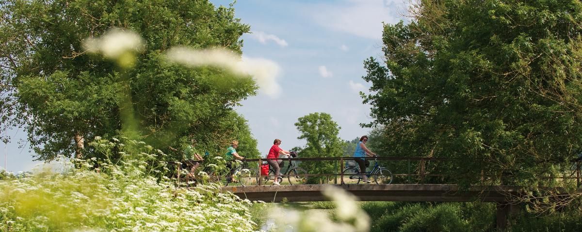
The most beautiful long-distance cycle paths in Franconia
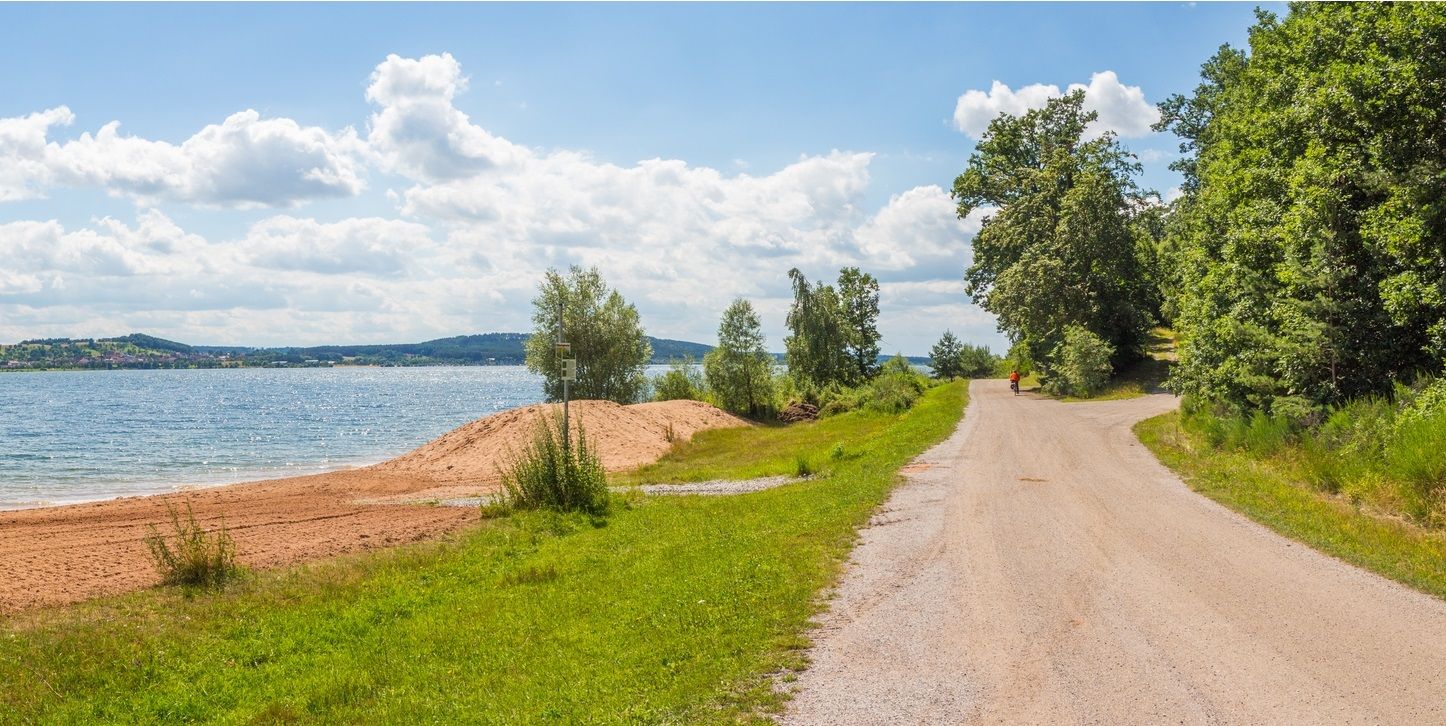
フランコニア水自転車道 - 8日間の小川、湖、川
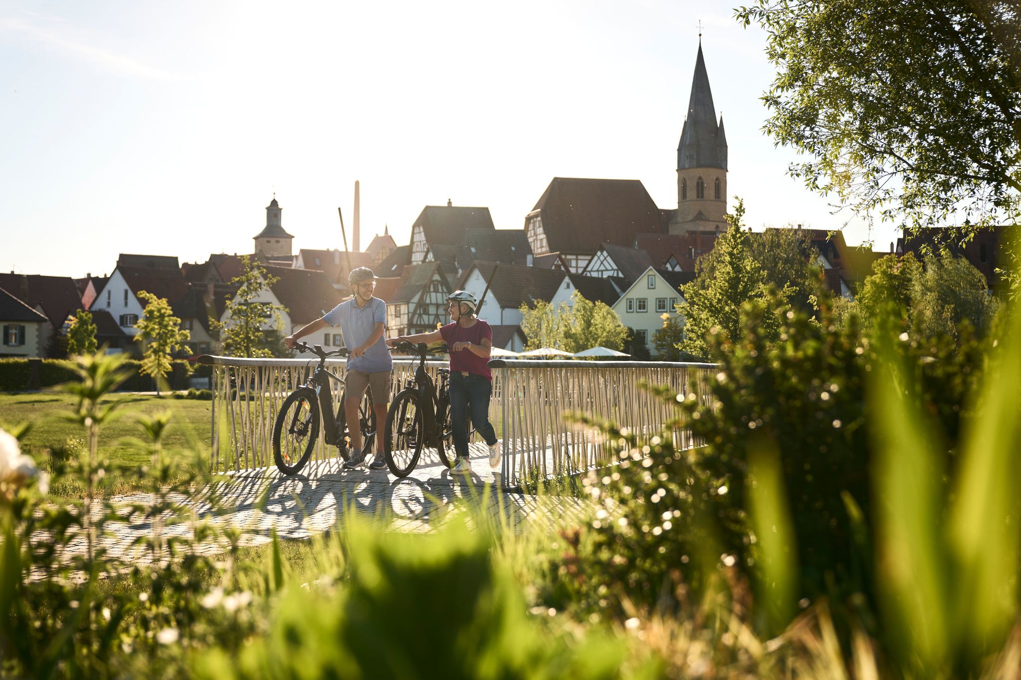
Half-timbered houses and superb cycling tours – the best of the South
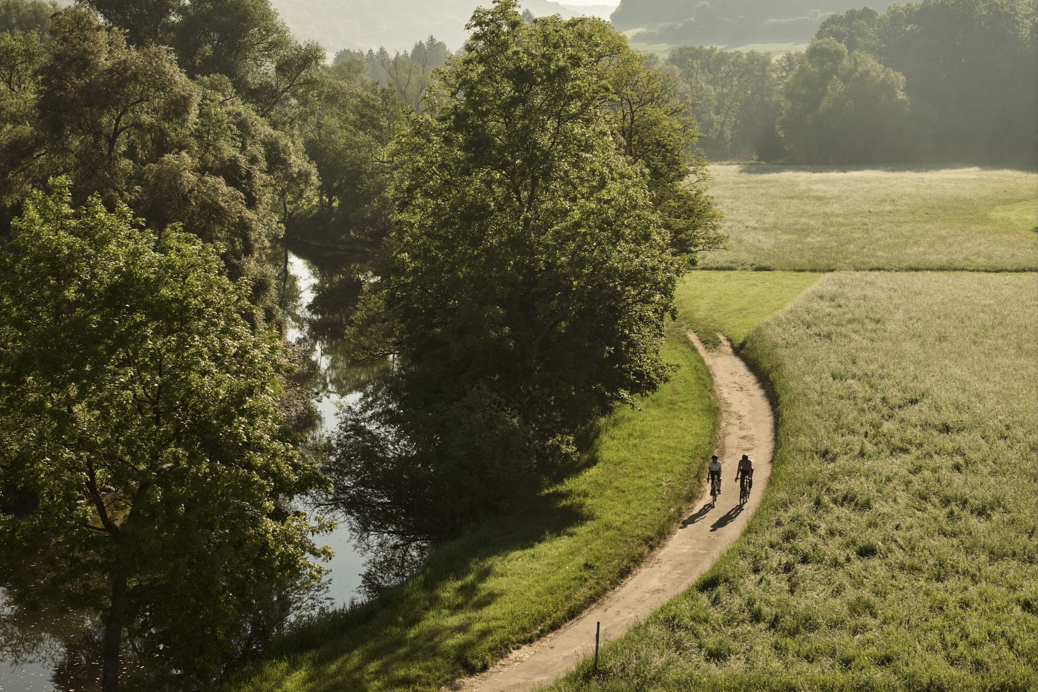
River delights & timber frames – riverside cycling in Süden ganz oben
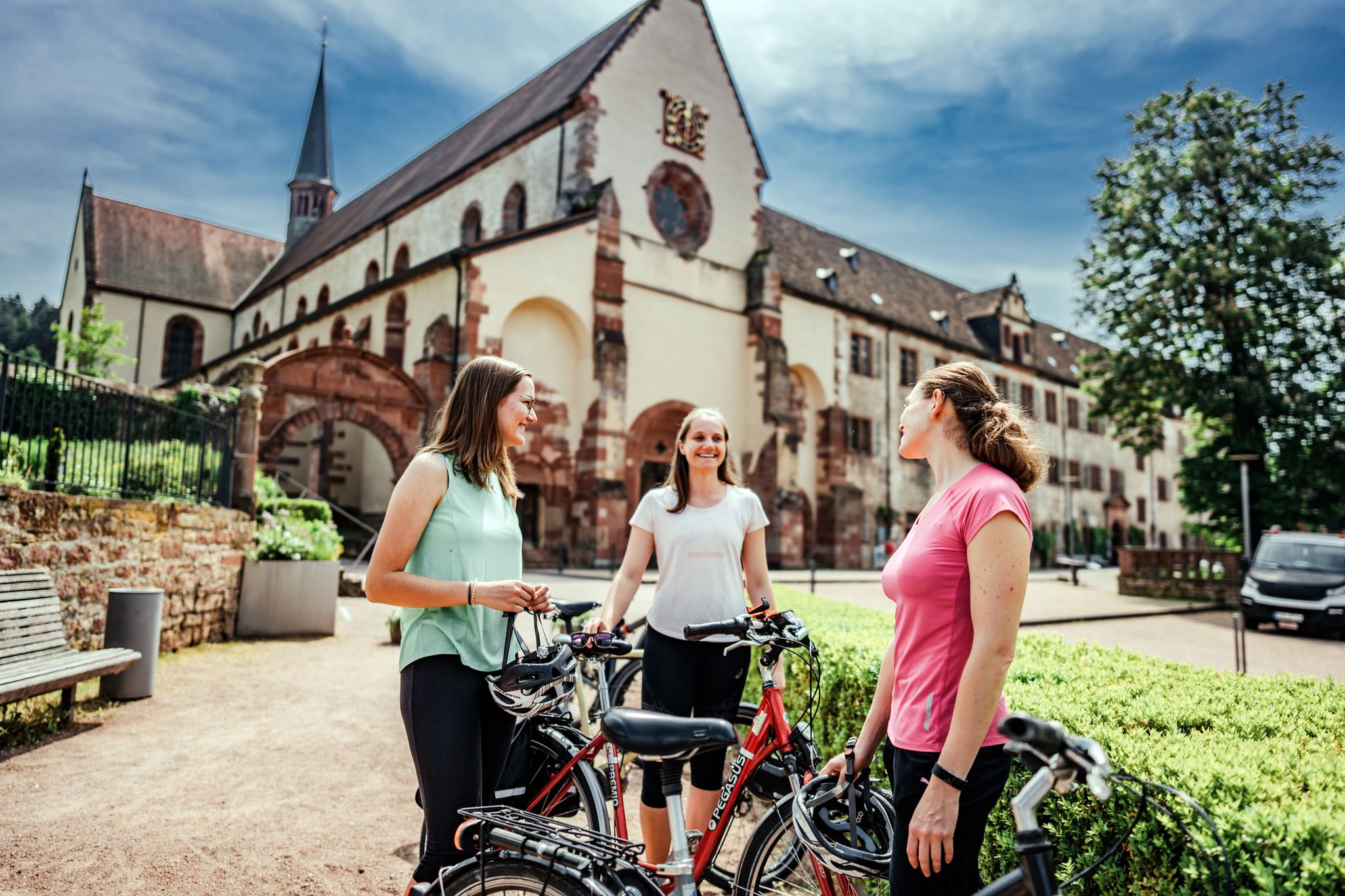
On the road – cycling Tours in the Lovely Tauber Valley
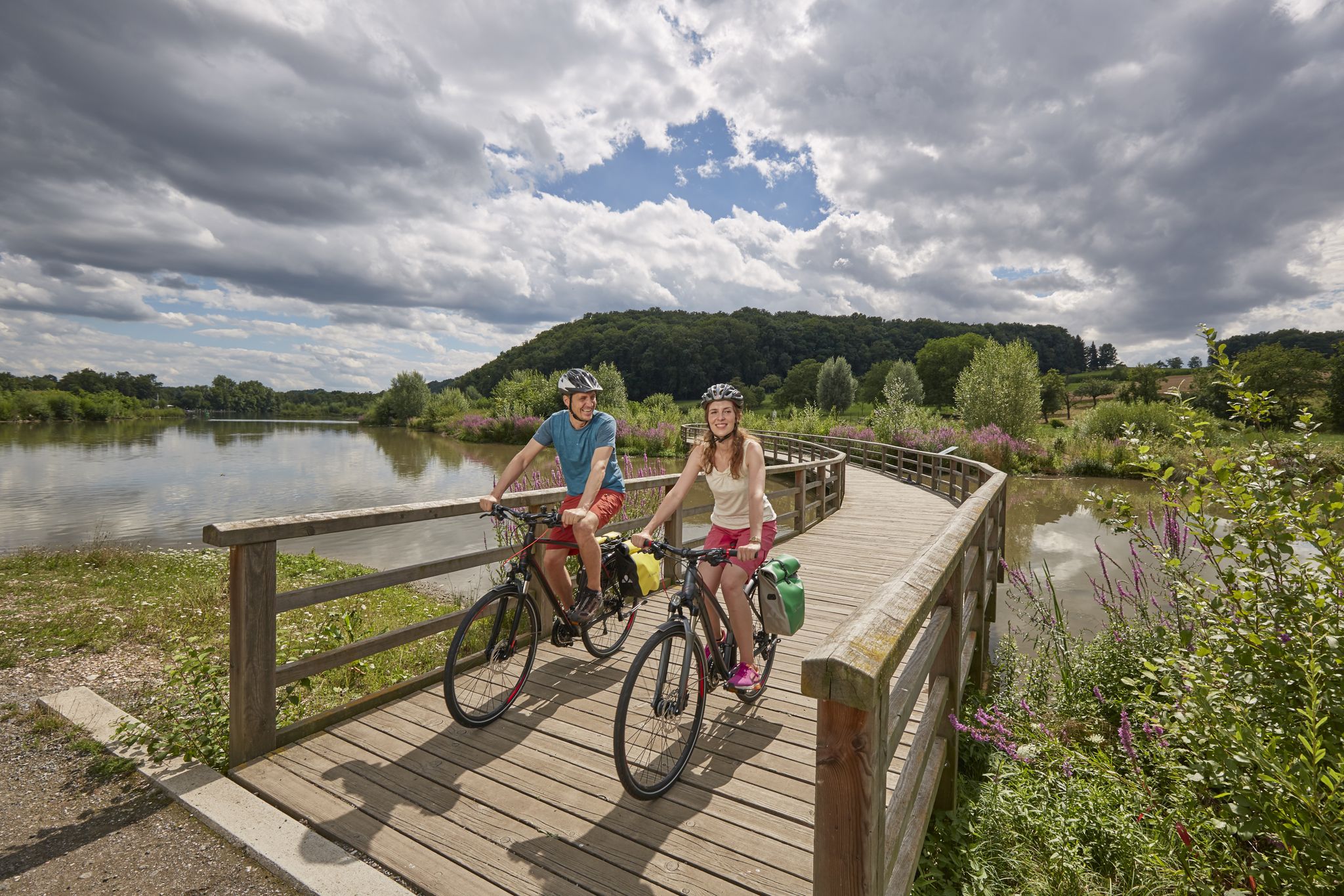
Long-distance cycle routes in Baden-Württemberg – endless rivers and lakes
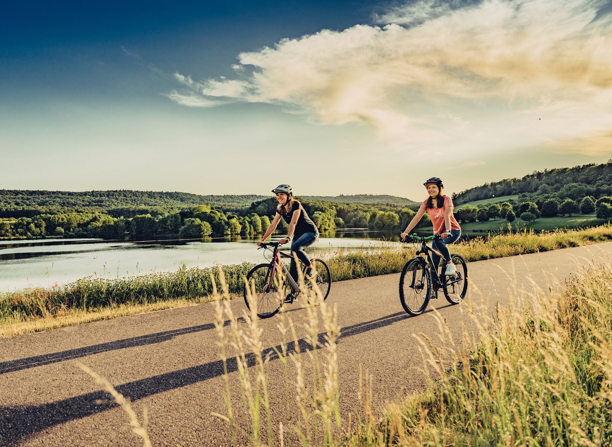
Beautiful day Tours along the Tauber, Kocher, Jagst and Neckar rivers
ローテンブルクオプデアタウバーでのの他の冒険


コミュニティからのヒント

側面の入り口、青銅の都市レリーフの隣には、美しいエヴァだけでなく、アダムやその他の旧約聖書の人物がポータルの上にあります。
0
0

クリンゲントールは街の北側の入り口であり、近くの要塞化された聖ヴォルフガング教会と共にクリンゲントール要塞の防御システムを形成しています。
0
0

ev. 教会
0
1

ローテンブルクは、ドイツで最も保存状態の良い中世の旧市街の1つとして知られており、マルクト広場周辺の木骨造りのファサードを最初に見ただけで、その理由がすぐにわかります。時間に余裕があれば、完全に保存された市壁を一周することをお勧めします。上からは、旧市街の屋根の風景を、決して忘れられないような視点で見ることができます。早朝はまだ街が静かで、ほとんどあなただけのものです。
2
0

The Klingentor (Klingen Gate) is the northern entrance to the old town and, together with the fortified church of St. Wolfgang, built into the outer defensive ring, forms the Klingentor Bastion. The Klingenturm (Klingen Tower), 37 meters high, was formerly integrated into the city's water supply. It housed a balancing reservoir into which water was pumped from the Bronnen Mill. This water supplied some of Rothenburg's fountains.
5
0

The Klingentor Bastion in Rothenburg ob der Tauber was built in the 14th century as part of the city's fortifications. It played an important role in the Thirty Years' War and offered protection from attackers. Today it is an impressive historical landmark that visitors can admire from the outside.
10
2
The Klingentor, also known as Klingenturm, is one of the medieval gates of the historic city. It was built in the 14th century and served as one of the main entrances to the fortified city walls.
11
2
This late Gothic fortified church was built between 1475 and 1493 and is part of the city's fortifications. It is also called the Shepherds' Church because it was built by the Brotherhood of Shepherds. The church has three notable altars, with the Marienaltar (Altar of the Virgin) being the oldest and dating to around 1480-90. The architectural design includes unique elements such as underground casemates and a battlement walkway that can be accessed from inside
10
2
ローテンブルクオプデアタウバーでのの人気ルート
ローテンブルクオプデアタウバーでのの人気観光スポット

komootモバイルアプリでインスピレーションを得よう


さらに探索
他の地域の最高のランニングトレイル & ルートを見てみましょう。
