グレンハルデンゼーのおすすめ登山&山歩きルート
4.8
(373)
2,127
ハイカー
37
ハイキング
ロイテの山々をもっと探索しませんか?このガイドでご紹介するのは、komootがグレンハルデンゼーでの登山&山歩きのコレクション全体を評価して選び抜いた、このエリアの人気ルートです。あなたに合ったルートを見つけるには、他のユーザーがアップロードした役立つ情報や写真を閲覧し、クリック操作で簡単に表示できる詳細なデータを参考にしましょう。グレンハルデンゼーでの次の冒険にぴったりの登山&山歩きルートが見つかるはずです。
最終更新日: 10月 18, 2026
4.9
(80)
479
ハイカー
17.3km
07:55
1,210m
1,210m
難しい登山ルート. 標準以上のフィットネスレベルが必要です。 安定して歩行できる技術、丈夫な靴、高標高地での登山経験が必要です。
4.9
(75)
310
ハイカー
14.8km
06:44
1,020m
1,030m
難しい登山ルート. 標準以上のフィットネスレベルが必要です。 安定して歩行できる技術、丈夫な靴、高標高地での登山経験が必要です。

5.0
(14)
153
ハイカー
9.18km
03:45
610m
610m
中程度の登山ルート. ある程度のフィットネスレベルが必要です。 全般的に進みやすいルートです。安定して歩行できる技術が必要です。
5.0
(13)
104
ハイカー
10.7km
05:13
880m
880m
難しい登山ルート. 標準以上のフィットネスレベルが必要です。 安定して歩行できる技術、丈夫な靴、高標高地での登山経験が必要です。
4.2
(13)
111
ハイカー
6.93km
03:26
600m
600m
中程度の登山ルート. ある程度のフィットネスレベルが必要です。 全般的に進みやすいルートです。安定して歩行できる技術が必要です。
さらに多くのルートや他のユーザーのおすすめ情報を確認できます。
すでにアカウントをお持ちですか?
おすすめのツアーは他のkomootユーザーが実際に経験した何千ものアクティビティに基づいています。
無料アカウントで今日から始めよう
次の冒険が待っています。
グレンハルデンゼー周辺で人気
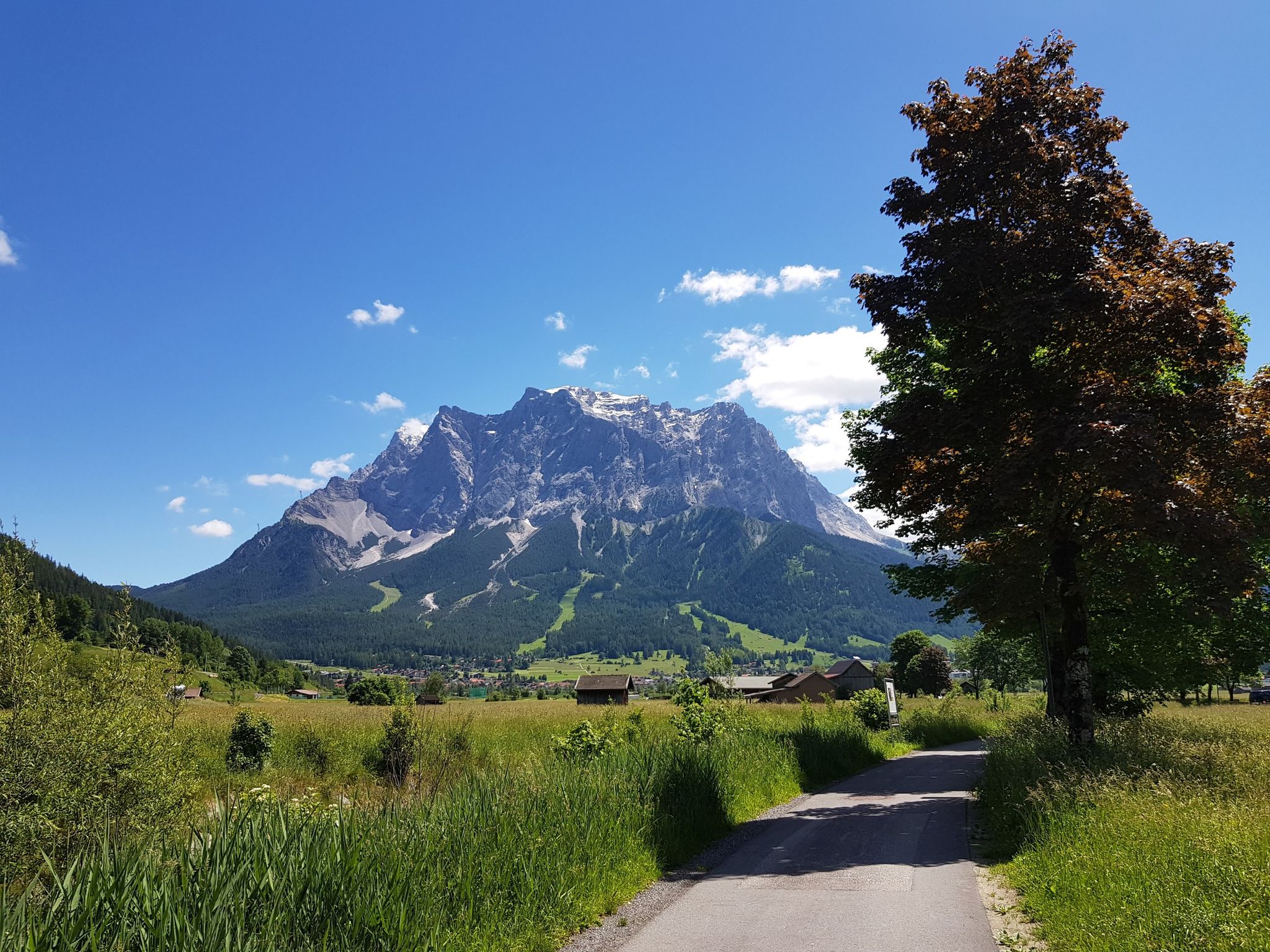
オーベルシュタウフェンからツクシピッテを中心にビケパキング
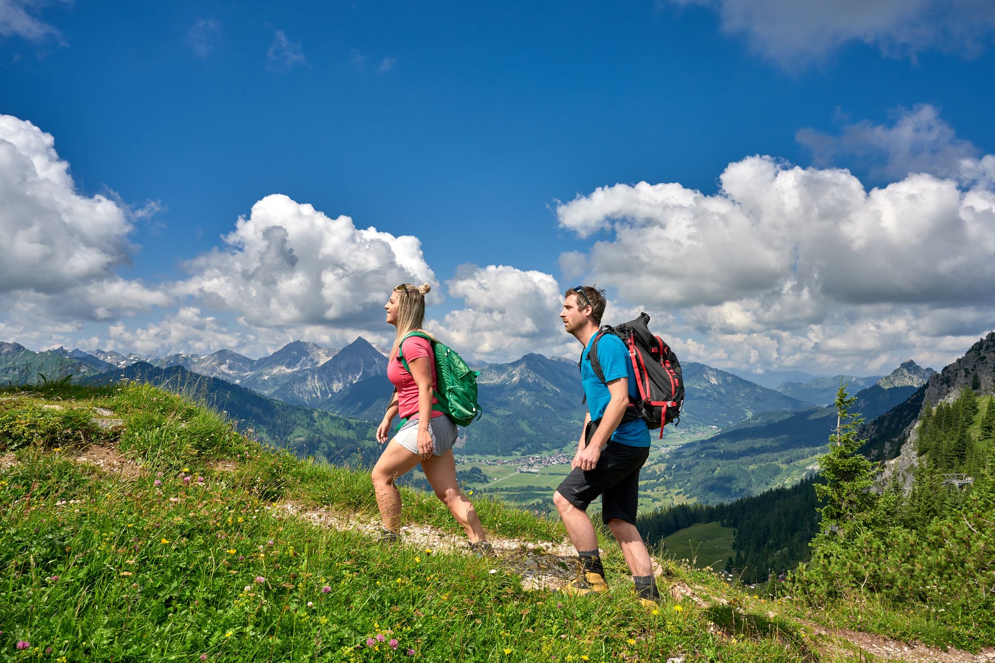
Beautiful alpine hikes with mountain huts in Austria’s Tannheimer Tal
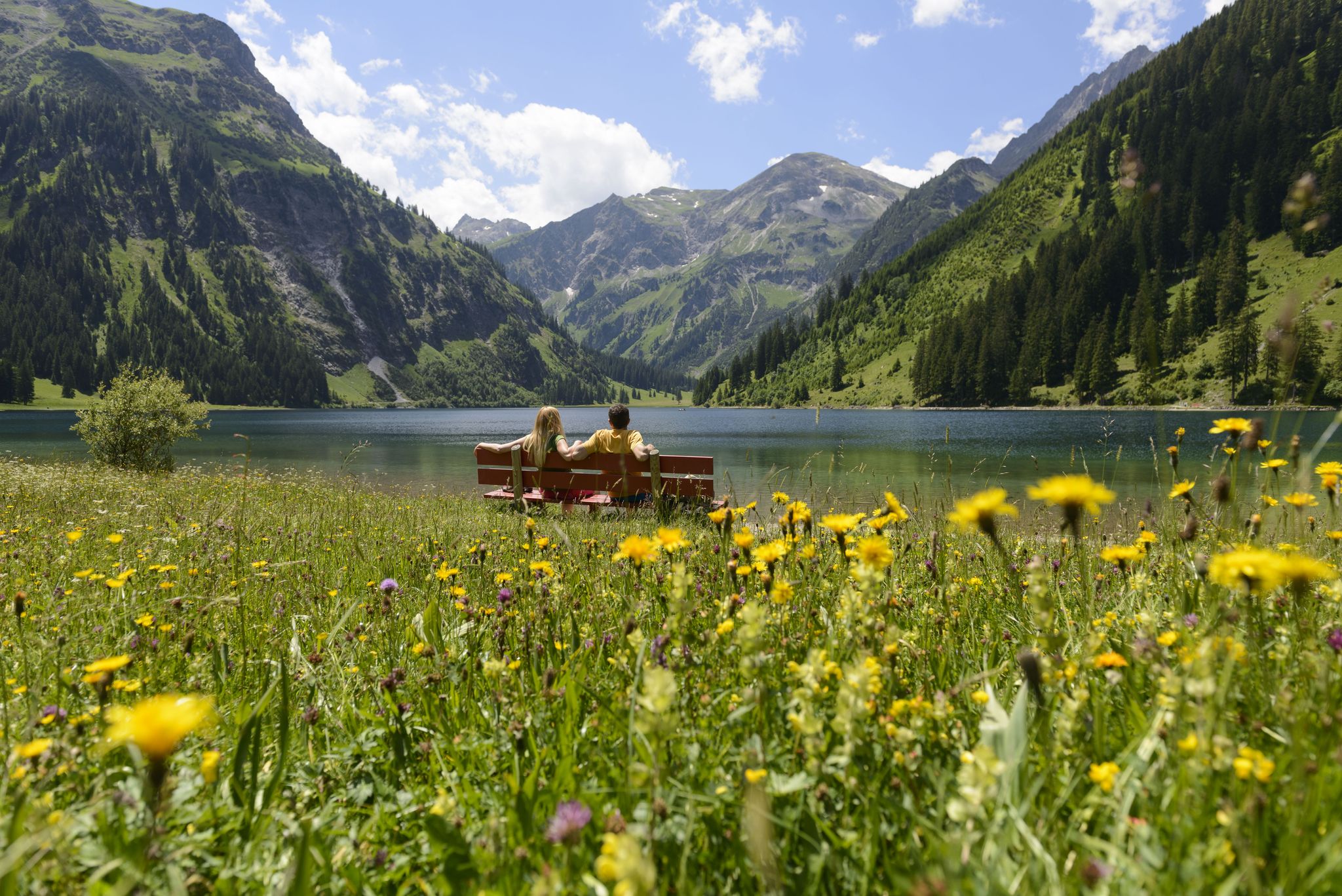
Summits, lakes & pleasure — Hiking in the Tannheimer Valley
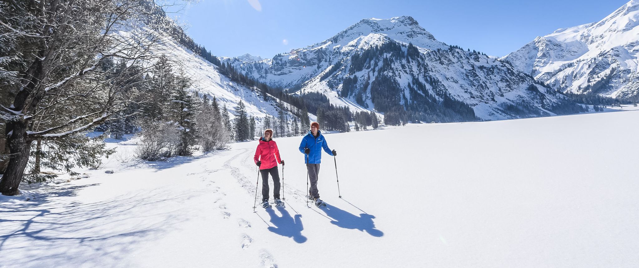
Mountains, snow & a clear blue sky – winter hikes in the Tannheimer Valley
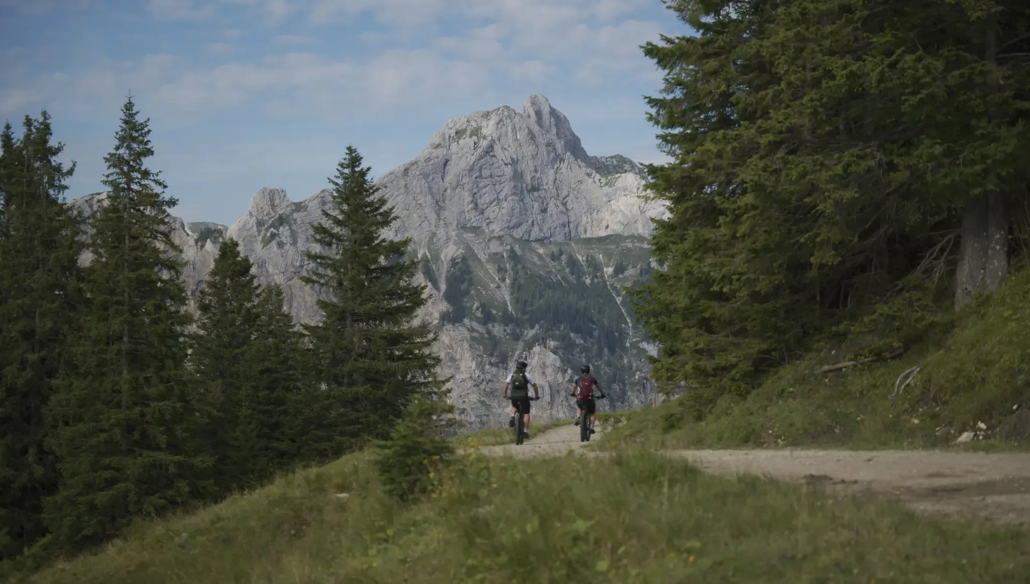
Fünf Arten, das Tannheimer Tal auf zwei Rädern zu erkunden
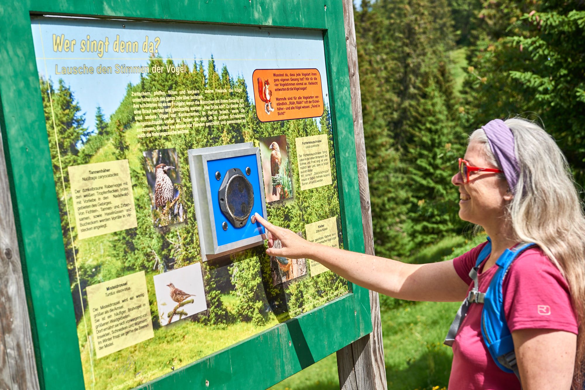
Wissenswertes über die Natur bis zur Geschichte – Themenwege im Tannheimer Tal
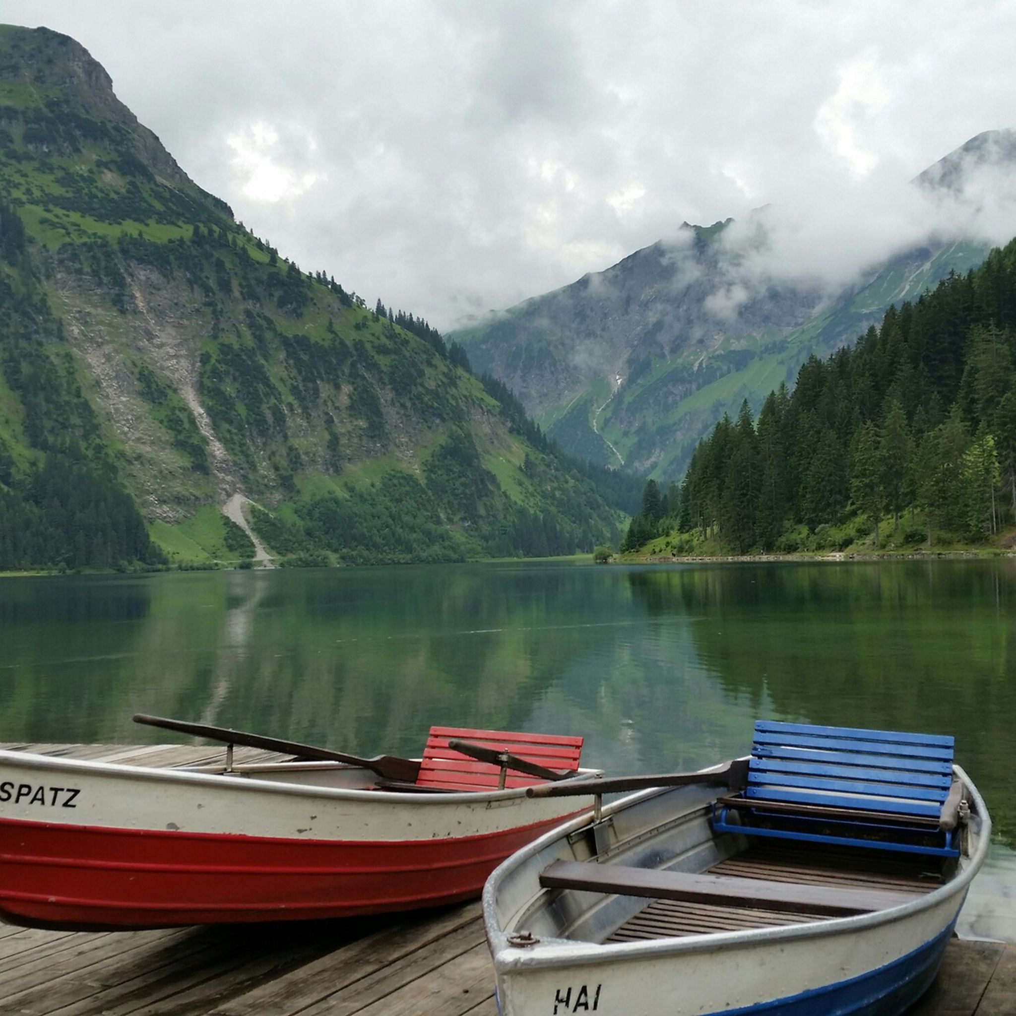
グレンハルデンゼーでのハイキング
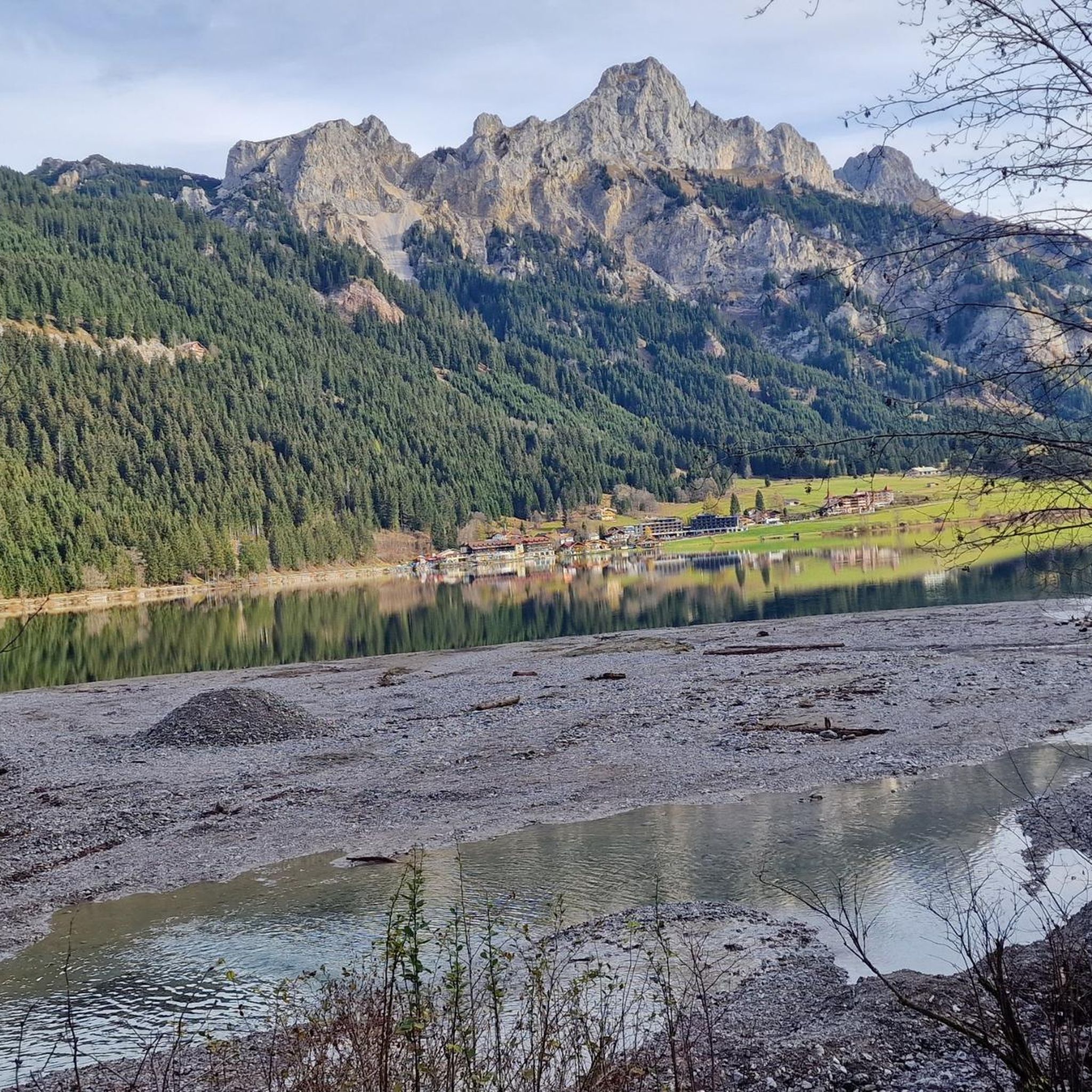
グレンハルデンゼーでのサイクリング
グレンハルデンゼーのMTBトレイル
グレンハルデンゼーのロードバイクルート


コミュニティからのヒント

両方の高山湖を一度に見ることができる素晴らしい場所です。対照的な色は記憶に残る眺めになります。
0
0
ルートが顕著に急で岩が多くなるトレイルの分岐点です。正しい道を進むために、ここでの標識に注意してください。
0
0
頂上付近には、露出した岩場や固定ロープのある急な最後の登りがあり、頑丈な靴と高所への耐性をお勧めします。
0
0
下からアッゲンシュタインの独特な岩の顔を見るのに最適な角度で、登る前または後に素敵な写真撮影スポットです。
0
1

Füssener Jöchleへの登りはかなり急です。谷の山の牧草地を何度も見渡すことができます。
2
0
険しいLäuferspitzeのすぐ下にある素晴らしい山のトレイル。
2
0
Läuferspitzeの麓の土地は、Füssener Jöchleから遠くまで見渡せます。
2
0


komootモバイルアプリでインスピレーションを得よう


さらに探索
他の地域の最高の登山ハイキング & ルートを見てみましょう。
