タンハイマータールのおすすめ登山&山歩きルート
4.8
(1704)
9,886
ハイカー
183
ハイキング
ロイテの山々をもっと探索しませんか?このガイドでご紹介するのは、komootがタンハイマータールでの登山&山歩きのコレクション全体を評価して選び抜いた、このエリアの人気ルートです。あなたに合ったルートを見つけるには、他のユーザーがアップロードした役立つ情報や写真を閲覧し、クリック操作で簡単に表示できる詳細なデータを参考にしましょう。タンハイマータールでの次の冒険にぴったりの登山&山歩きルートが見つかるはずです。
最終更新日: 9月 8, 2026
4.9
(101)
390
ハイカー
17.1km
07:28
950m
950m
難しい登山ルート. 標準以上のフィットネスレベルが必要です。 安定して歩行できる技術、丈夫な靴、高標高地での登山経験が必要です。
4.7
(126)
777
ハイカー
9.13km
05:14
940m
940m
難しい登山ルート. 標準以上のフィットネスレベルが必要です。 安定して歩行できる技術、丈夫な靴、高標高地での登山経験が必要です。

4.9
(80)
479
ハイカー
17.3km
07:55
1,210m
1,210m
難しい登山ルート. 標準以上のフィットネスレベルが必要です。 安定して歩行できる技術、丈夫な靴、高標高地での登山経験が必要です。
4.9
(80)
483
ハイカー
12.7km
06:21
930m
930m
難しい登山ルート. 標準以上のフィットネスレベルが必要です。 安定して歩行できる技術、丈夫な靴、高標高地での登山経験が必要です。
4.7
(99)
609
ハイカー
7.00km
03:49
690m
690m
難しい登山ルート. ある程度のフィットネスレベルが必要です。 安定して歩行できる技術、丈夫な靴、高標高地での登山経験が必要です。
さらに多くのルートや他のユーザーのおすすめ情報を確認できます。
すでにアカウントをお持ちですか?
おすすめのツアーは他のkomootユーザーが実際に経験した何千ものアクティビティに基づいています。
無料アカウントで今日から始めよう
次の冒険が待っています。
タンハイマータール周辺で人気
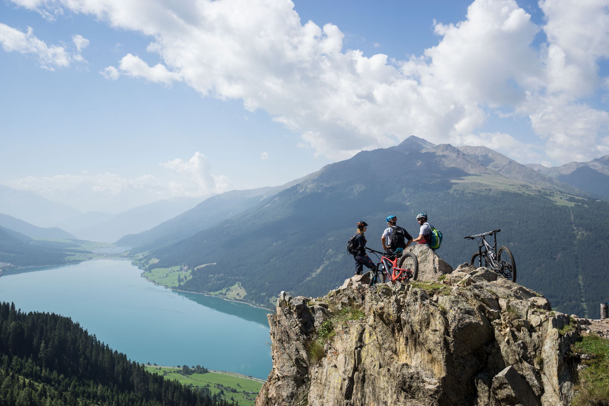
High into the Tyrolean mountain world – mountain biking in Tyrol
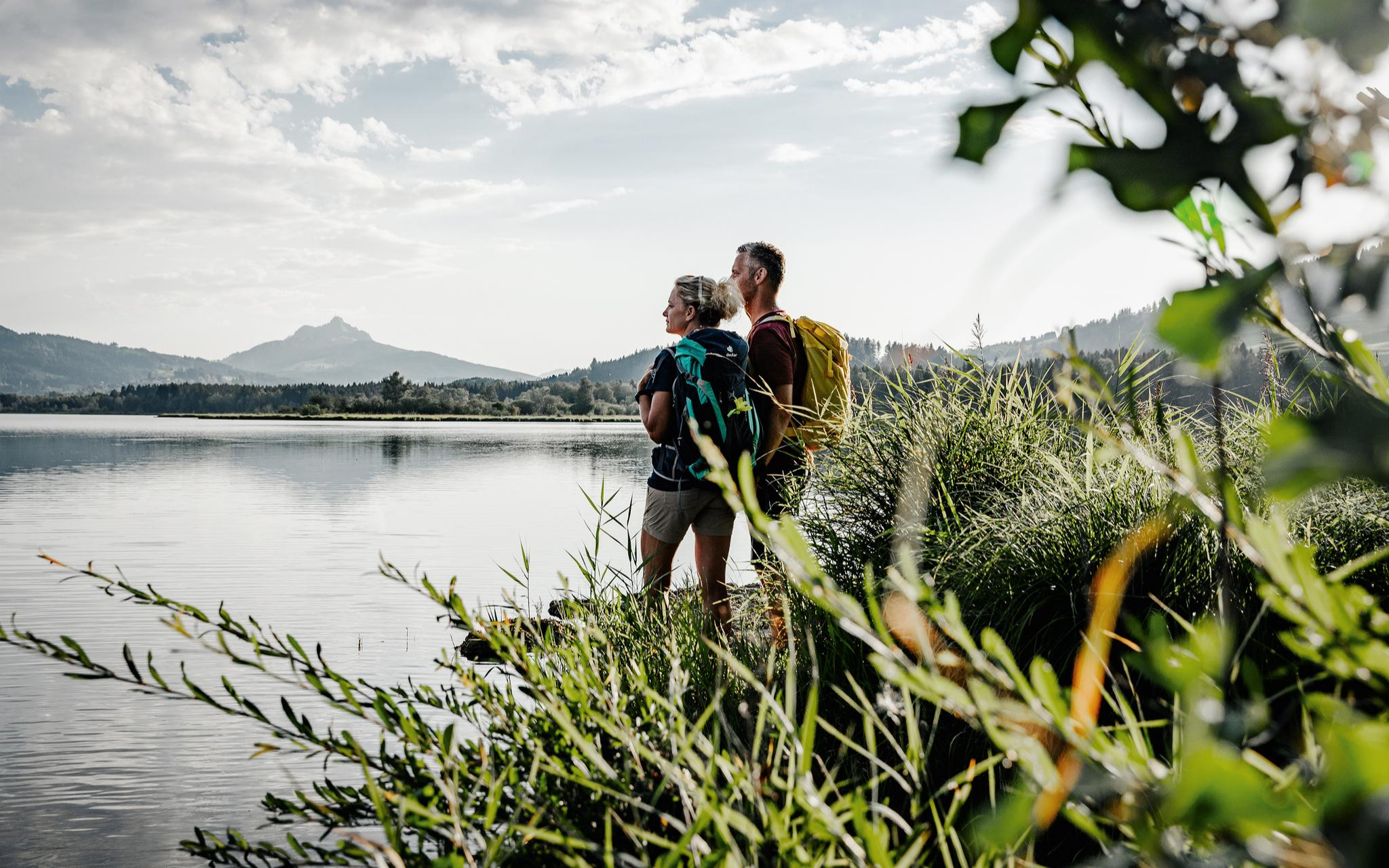
Fresh summer fun – half and full day hikes in Allgäu
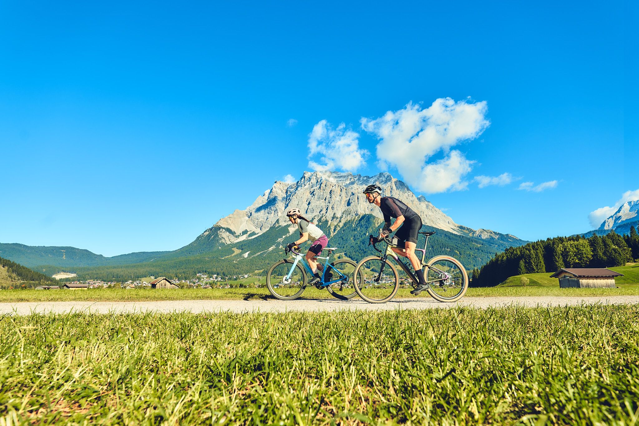
Experience the Außerfern in Tyrol's largest gravel bike region
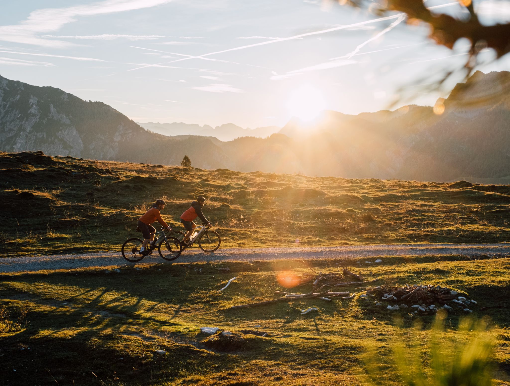
Beyond the pavement – explore Austria's wild nature on a gravel bike
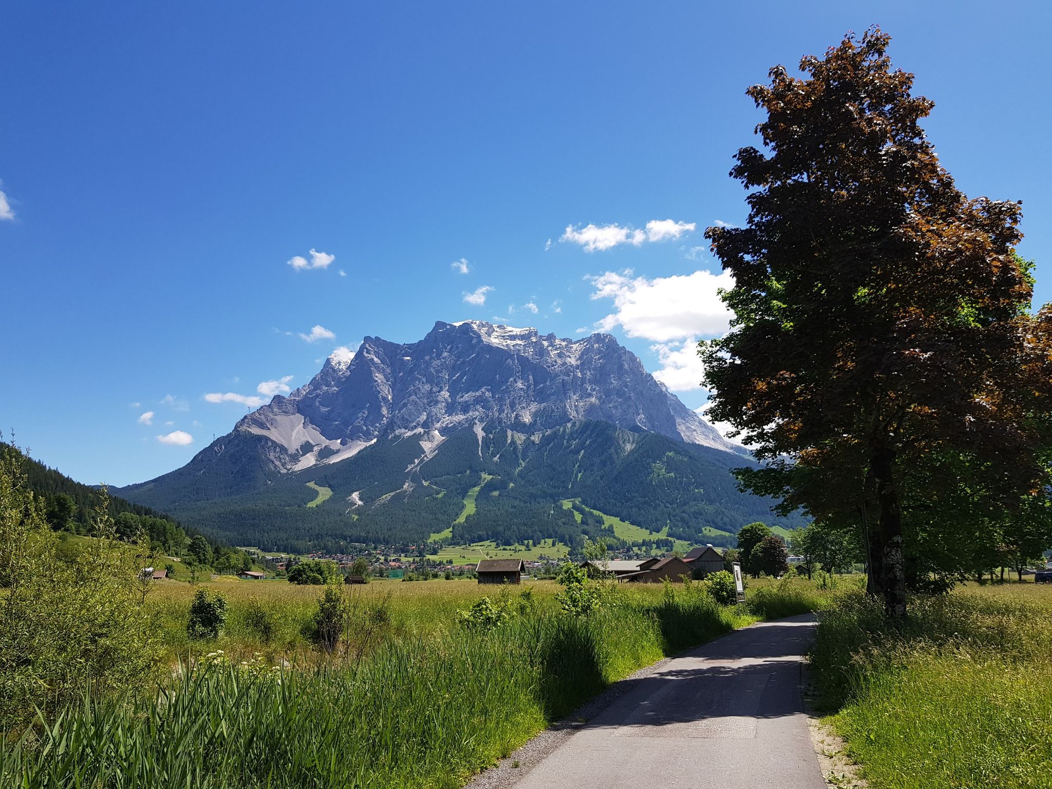
オーベルシュタウフェンからツクシピッテを中心にビケパキング

No time for boredom – family hikes with a fun factor in Bayern
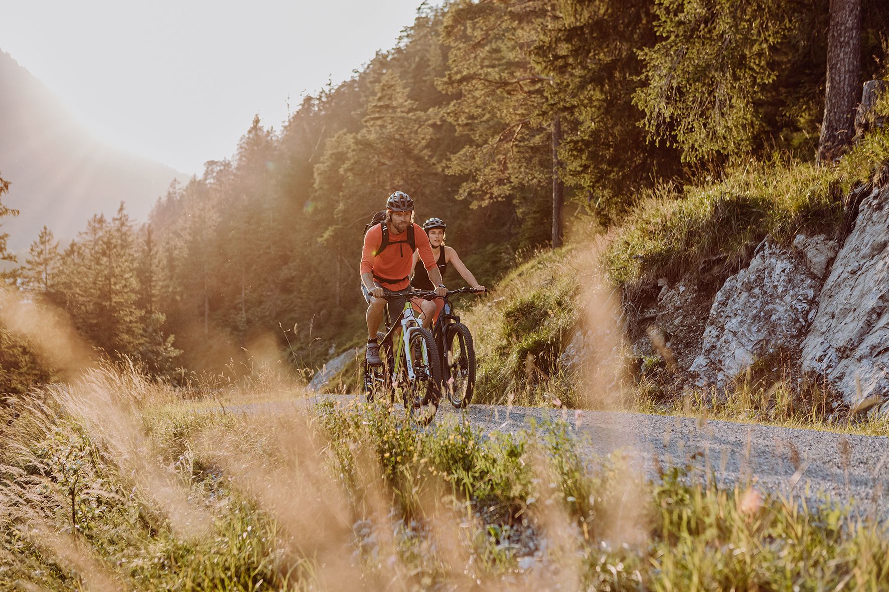
Alpine panorama and mountain huts – nature biking in Germany’s Allgäu
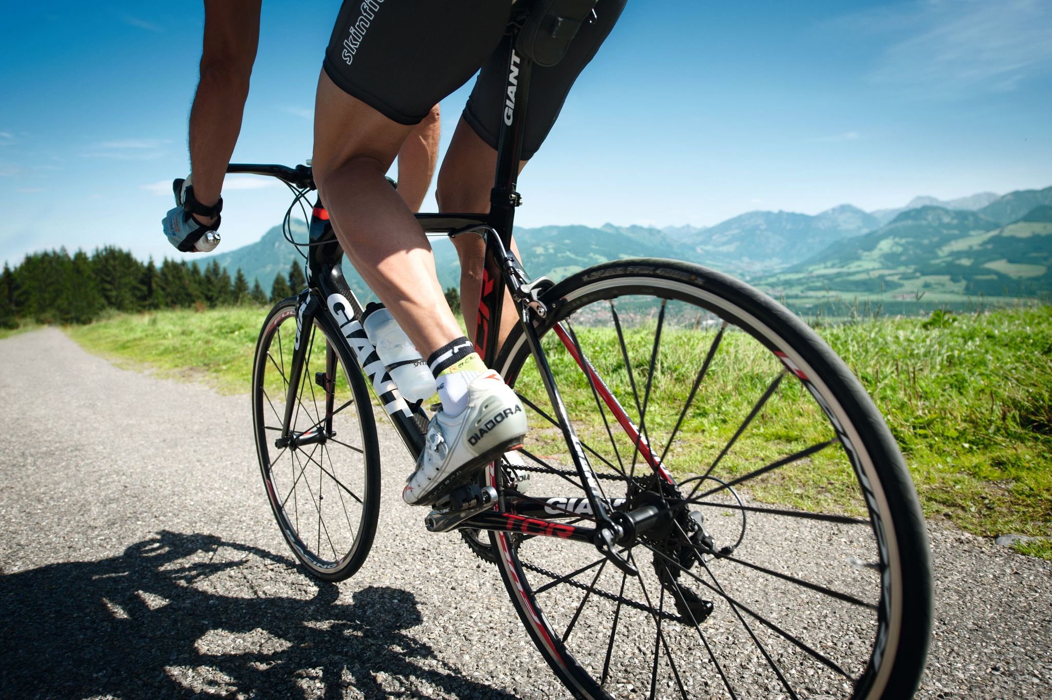
Discover the most beautiful road bike Tours in Allgäu
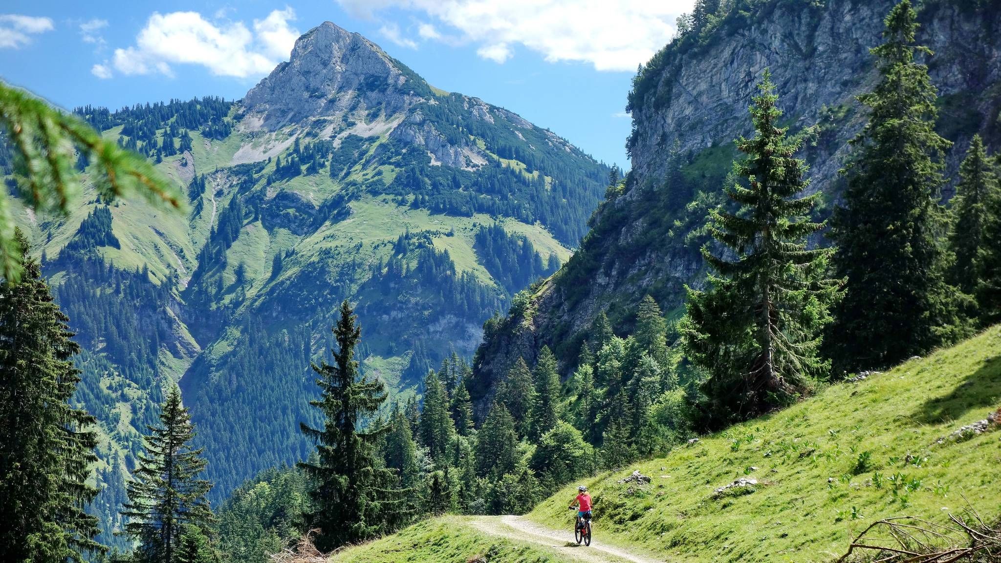
MTB fun around Austria’s Tannheim Valley
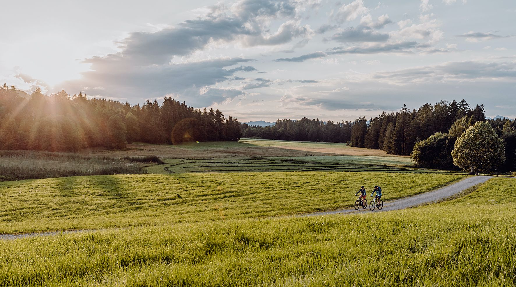
Allgäu Cycle Route — ドイツ南部&Tyrolを発見
タンハイマータールでのの他の冒険


コミュニティからのヒント


アッゲンシュタインは、フロンテン・イム・アルゴイとタンハイマー・タールの間にある美しい山です。残念ながら、非常に混雑することが多いです。
1
0

If you're lucky and climb the mountain at sunset, you can see a lot of animals. Please be careful.
0
0

The isolated location of the Einstein, which is separated from the neighboring elevations by deeply incised valleys and a flat watershed, offers excellent views of the surrounding Tannheimer and Allgäu mountains in all directions.
1
0
There are two different approaches to the summit: The southern route leads up from Tannheim, while the northern, somewhat more challenging, route begins in the municipality of Pfronten and then crosses the border between the German Free State of Bavaria and the Austrian state of Tyrol north of Grän. The tour requires surefootedness and caution in wet conditions, as the slopes consist of steep scree. Source: https://de.wikipedia.org/wiki/Einstein_(Berg)
1
0

From the Gamskar there is a wonderful view of the surrounding peaks, including the Rote Flüh and the rather impressive Gimpel.
1
1
Individual passages on this route have also been given interesting names (3-series station wagon, 5000 Welshmen, etc.).
1
1
タンハイマータールでのの人気ルート

komootモバイルアプリでインスピレーションを得よう


さらに探索
他の地域の最高の登山ハイキング & ルートを見てみましょう。
