エルメンのおすすめ登山&山歩きルート
4.8
(317)
2,417
ハイカー
71
ハイキング
ロイテの山々をもっと探索しませんか?このガイドでご紹介するのは、komootがエルメンでの登山&山歩きのコレクション全体を評価して選び抜いた、このエリアの人気ルートです。あなたに合ったルートを見つけるには、他のユーザーがアップロードした役立つ情報や写真を閲覧し、クリック操作で簡単に表示できる詳細なデータを参考にしましょう。エルメンでの次の冒険にぴったりの登山&山歩きルートが見つかるはずです。
最終更新日: 10月 12, 2026
4.7
(23)
144
ハイカー
12.1km
07:32
1,340m
1,350m
難しい登山ルート. 標準以上のフィットネスレベルが必要です。 安定して歩行できる技術、丈夫な靴、高標高地での登山経験が必要です。
4.9
(18)
117
ハイカー
16.1km
09:07
1,540m
1,540m
難しい登山ルート. 標準以上のフィットネスレベルが必要です。 安定して歩行できる技術、丈夫な靴、高標高地での登山経験が必要です。

4.9
(12)
58
ハイカー
15.1km
06:57
1,090m
1,090m
難しい登山ルート. 標準以上のフィットネスレベルが必要です。 安定して歩行できる技術、丈夫な靴、高標高地での登山経験が必要です。
4.8
(8)
36
ハイカー
14.4km
08:46
1,600m
1,600m
難しい登山ルート. 標準以上のフィットネスレベルが必要です。 安定して歩行できる技術、丈夫な靴、高標高地での登山経験が必要です。
4.0
(2)
30
ハイカー
8.36km
04:57
900m
900m
難しい登山ルート. ある程度のフィットネスレベルが必要です。 安定して歩行できる技術、丈夫な靴、高標高地での登山経験が必要です。
さらに多くのルートや他のユーザーのおすすめ情報を確認できます。
すでにアカウントをお持ちですか?
おすすめのツアーは他のkomootユーザーが実際に経験した何千ものアクティビティに基づいています。
無料アカウントで今日から始めよう
次の冒険が待っています。
エルメン周辺で人気
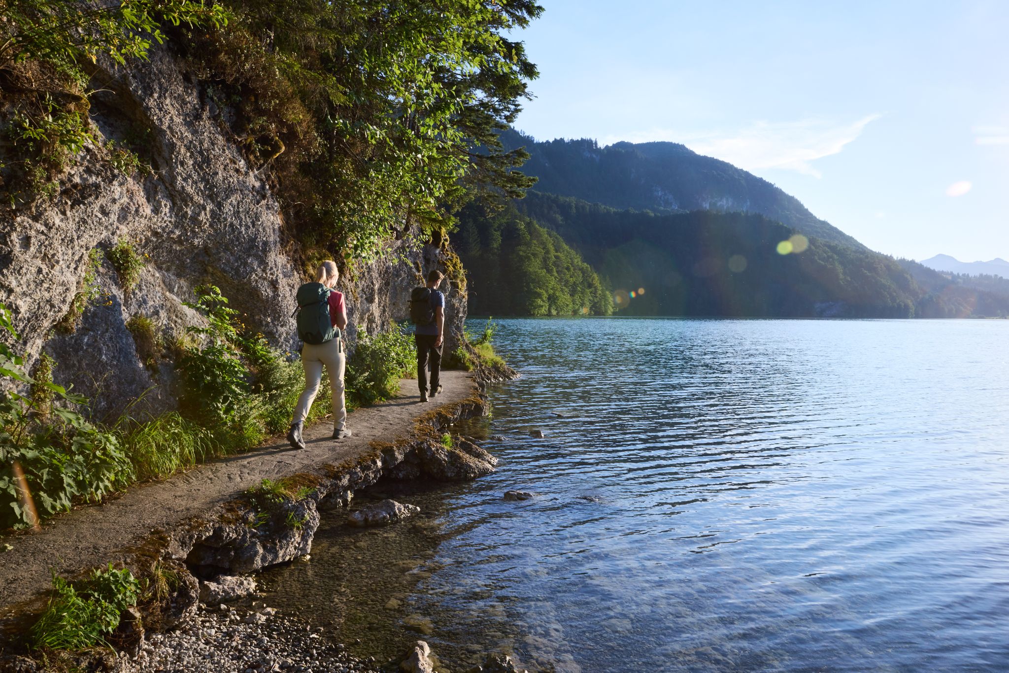
Lechloops – wonderful hiking along the wild Lech
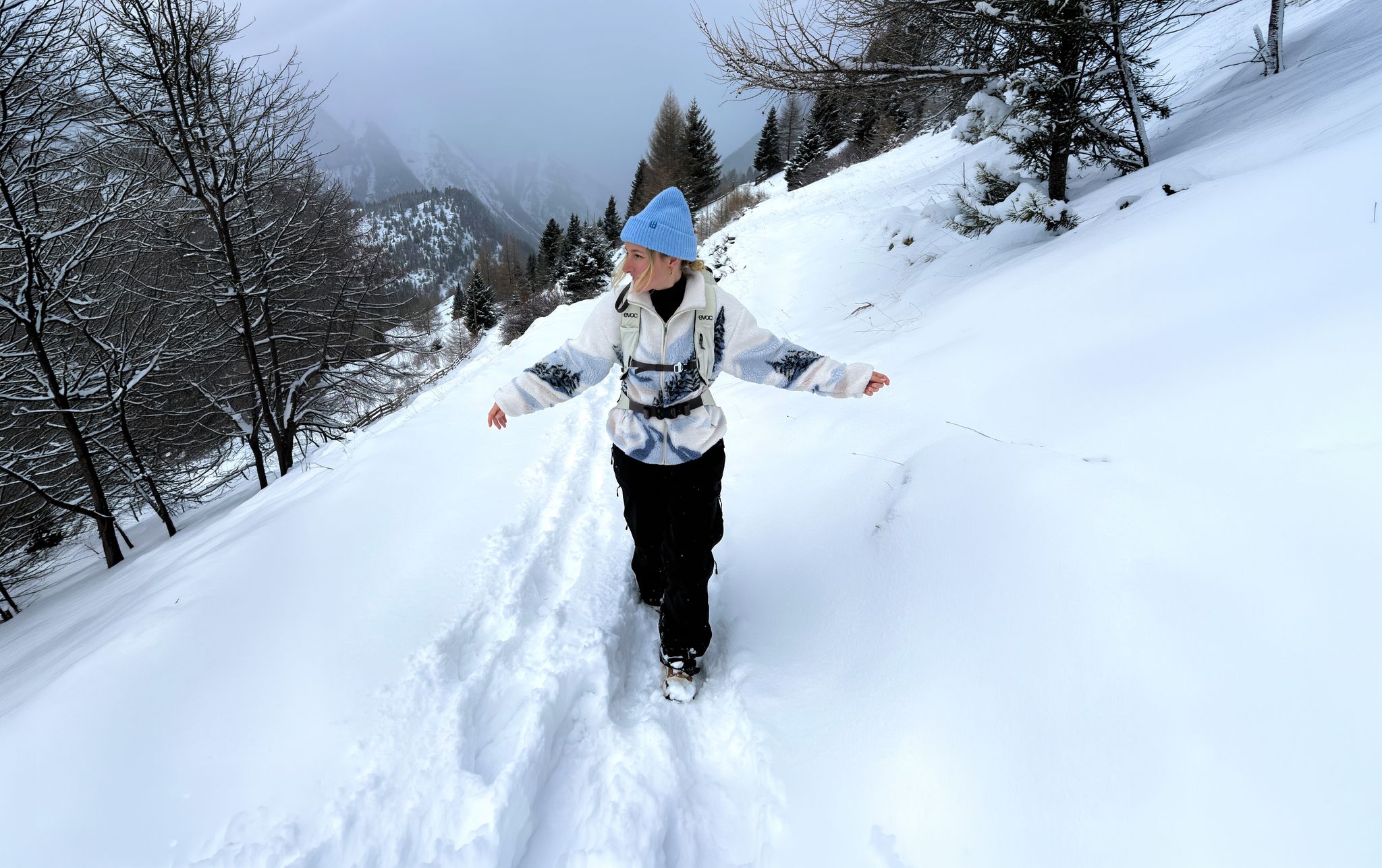
Scenic Winter Hikes around Austria
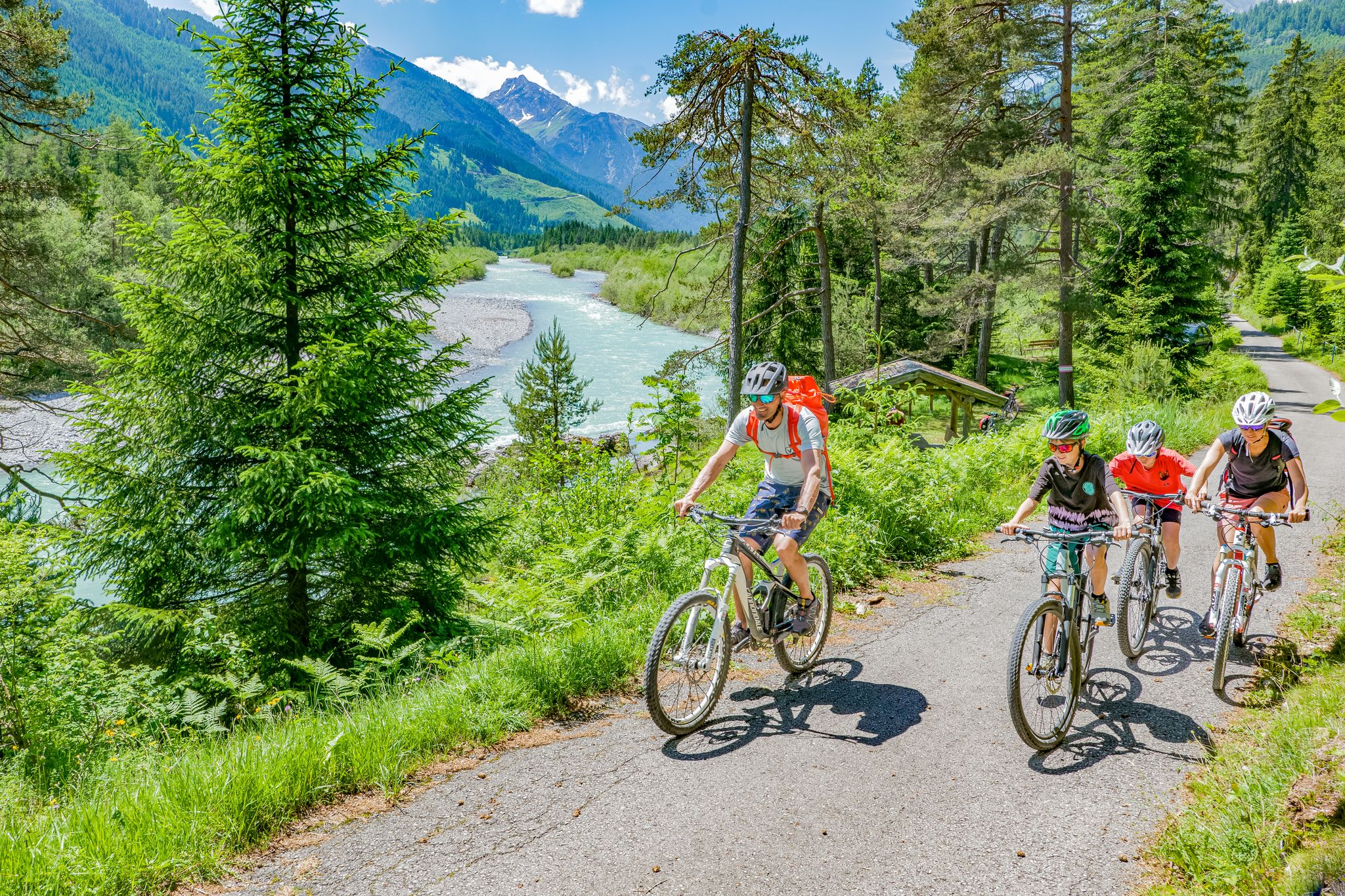
Cycling in the Tyrolean Lech Valley – 10 varied routes along the wild Lech river
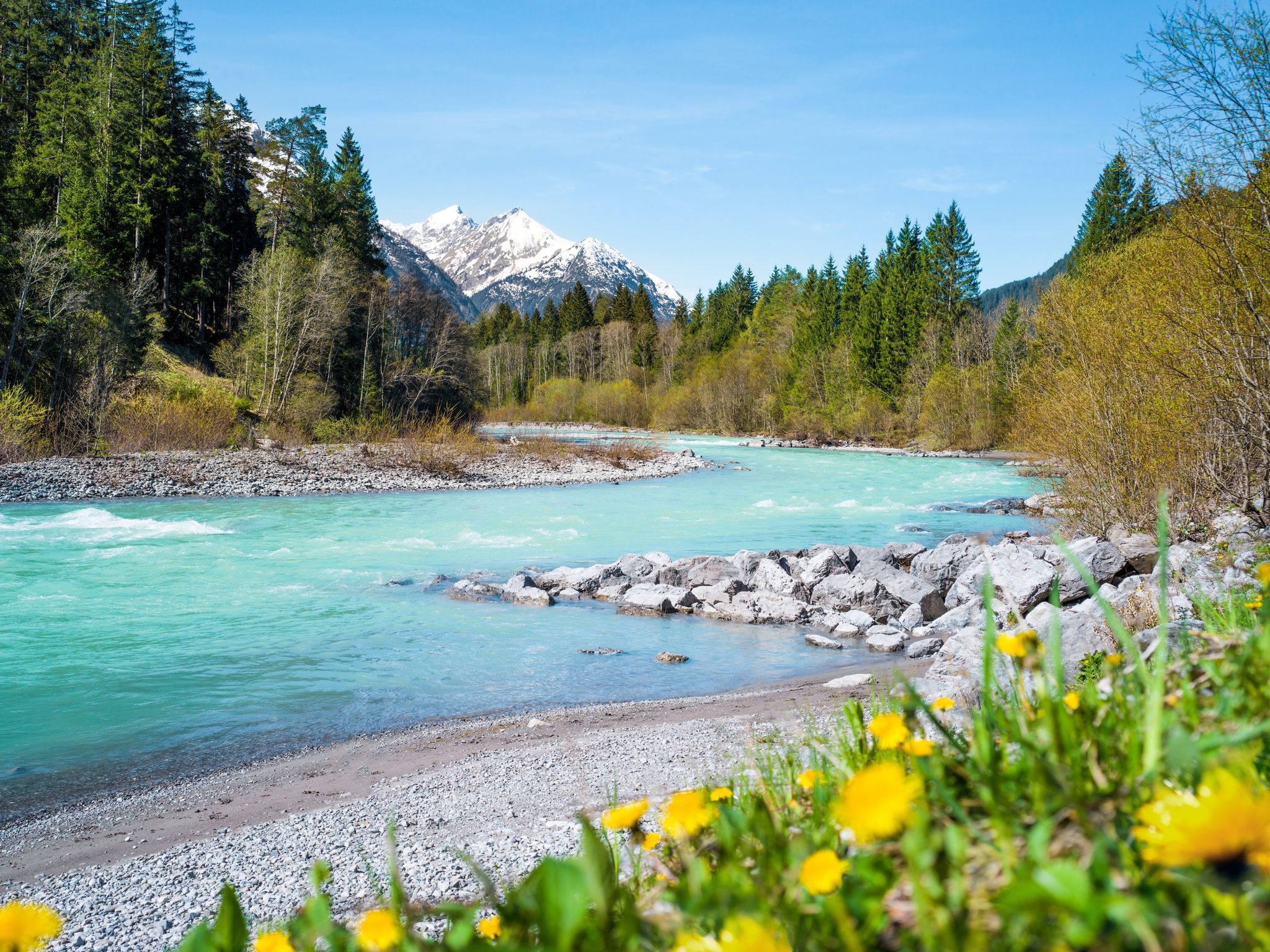
Multi-day hiking against the flow – the Lechweg in reverse
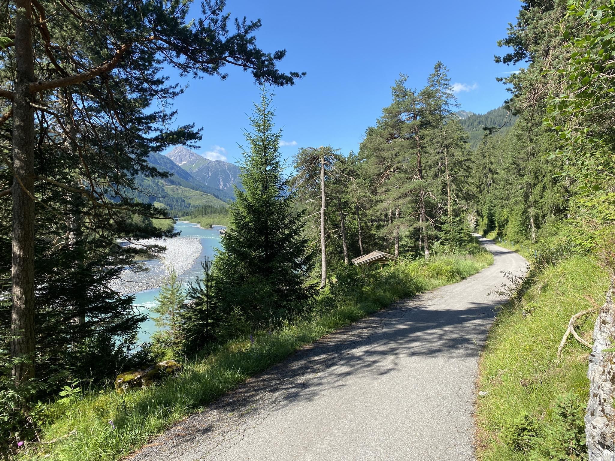
山中をリラックスしながらサイクリング - チロルレッヒサイクリングコース
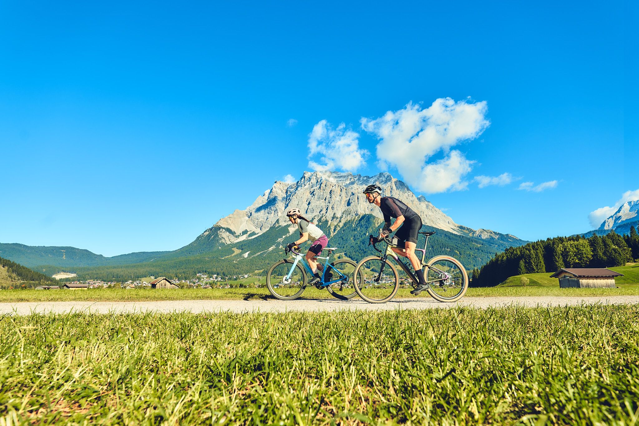
Experience the Außerfern in Tyrol's largest gravel bike region
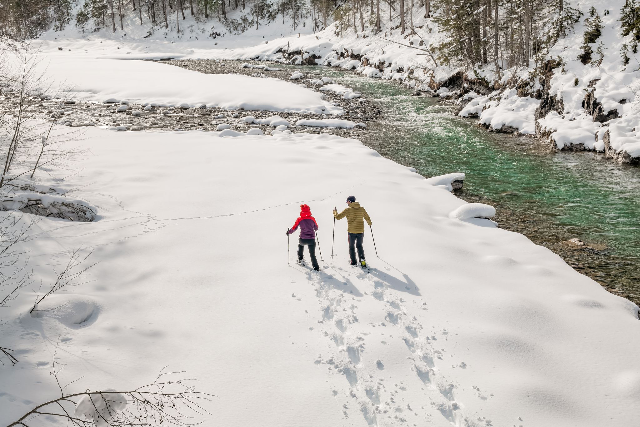
Winter hiking along the last wild river landscape in Europe – Tyrolean Lech Valley
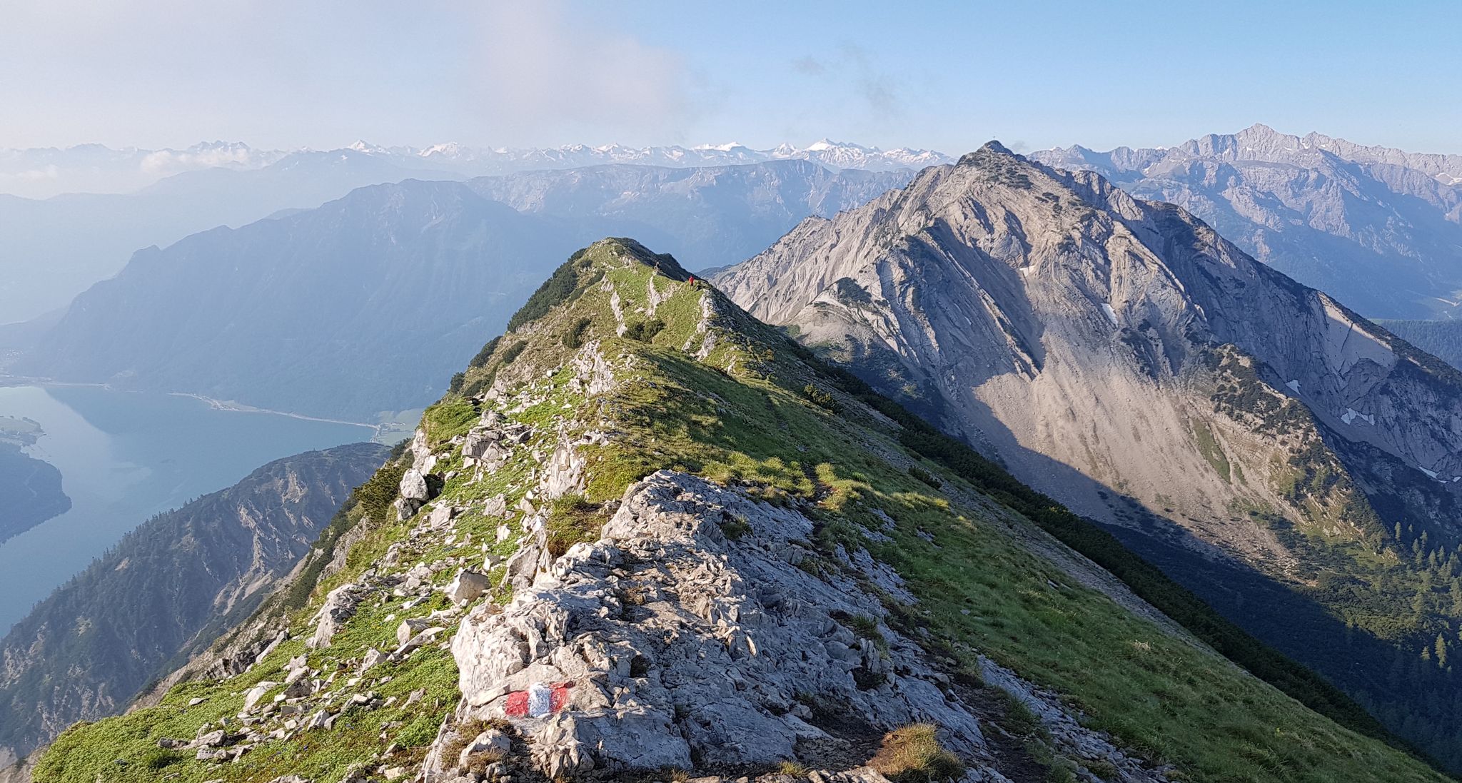
タイロルの魅力的な十一の尾根の散歩
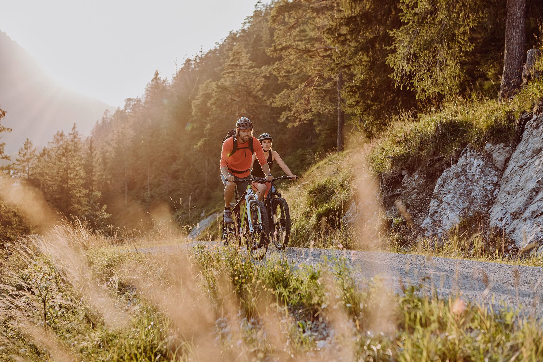
Alpine panorama and mountain huts – nature biking in Germany’s Allgäu
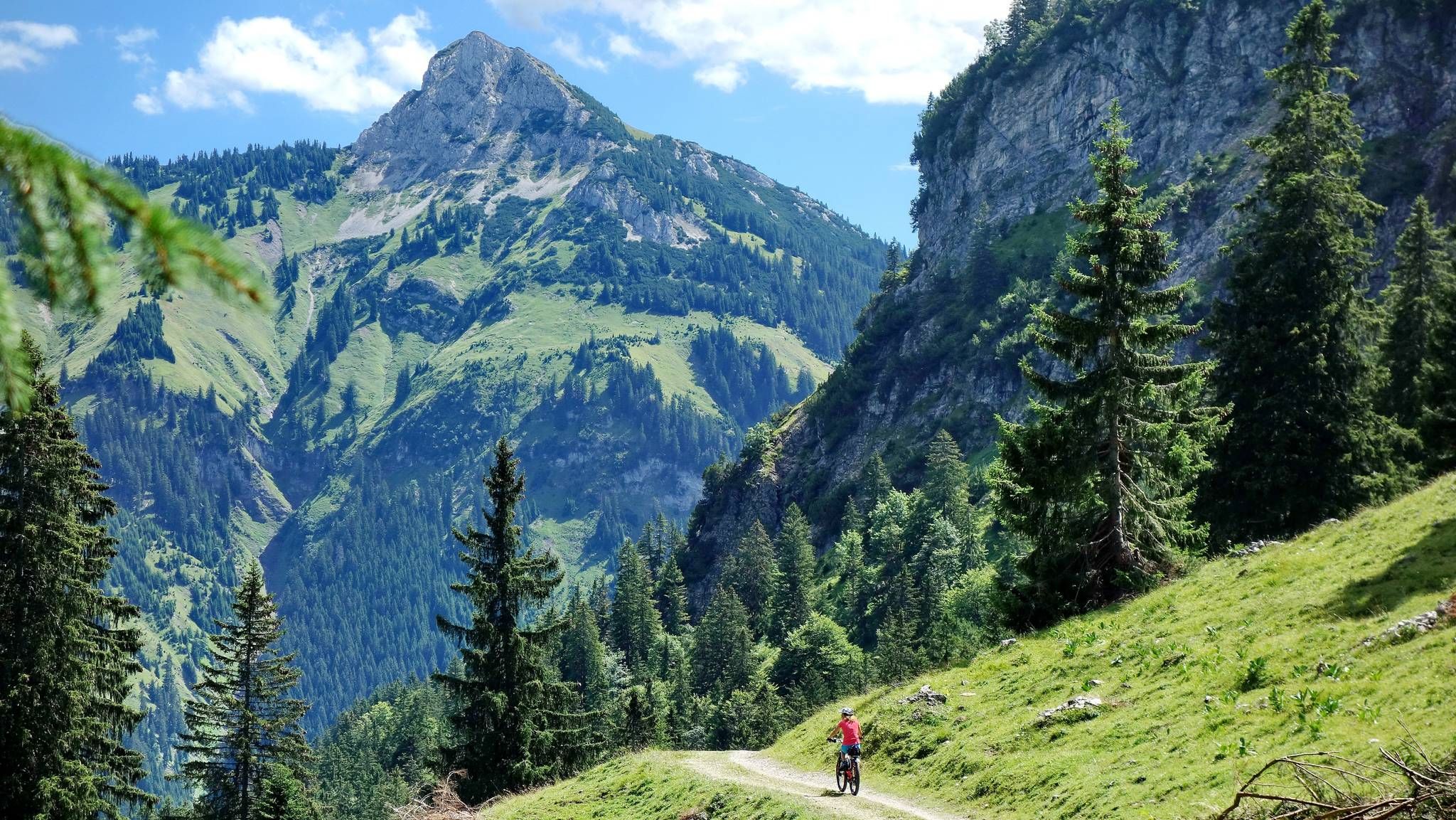
MTB fun around Austria’s Tannheim Valley
エルメンでのの他の冒険


コミュニティからのヒント

HinterhornbachからのHochvogelのパノラマは、Lechtal全体で最も印象的な景観の1つです。Hochvogel(2,592 m)の際立ったピラミッド型の岩の形状は、静かな谷の奥に雄大にそびえ立ち、視野全体を支配しています。アルプスのアルパインの荒々しさを印象的に体験できる、壮観な写真撮影の被写体です。
0
0

私たちは木曜日にもなんとか連絡が取れて、泊まれました。飲み水が無料。 バックを入れる大きめの袋が必要で、3ユーロで買いました。衛生管理も整っていてトイレもとても、綺麗に使われています。 良心的で、静かで素敵な山小屋。また必ず行きたい。
0
0

From a small pulpit next to the path you have an interesting view into the Hornbach valley
0
0
By August 2025, the Kalte Winkel will be completely snow-free, except for a tiny remnant at the end of the cirque. It's hard to imagine that there was a glacier here in the 19th century...
2
0
"Covered" band under a secondary peak of the Hochvogel, from here you can also see the "layering" of the mountain
0
0

Self-catering hut of the DAV Allgäu-Immenstadt section. Open on summer weekends.
1
0

You definitely have to come in! Not just from the outside, but simply immerse yourself in the interior.
0
0

A very beautiful place
0
0

komootモバイルアプリでインスピレーションを得よう


さらに探索
他の地域の最高の登山ハイキング & ルートを見てみましょう。
