サウザンのおすすめランニングルート
3.9
(6)
278
ランナー
33
ランニング
サウザンでランニングを楽しめば、このエリアをより深く知ることができます。ランニングに適した美しいルートが見つかるように、komootがサウザンでのルートのコレクション全体を評価して選び抜いた、人気ランニングトレイルをご紹介します。ルートをクリックして詳細を表示し、他のユーザーがアップロードした役立つ情報や写真を閲覧しましょう。
最終更新日: 10月 10, 2026
7
ランナー
5.07km
00:35
30m
30m
Jog the Holy Well and St. James Church loop from Southam, a moderate 3.1-mile route past historic landmarks and scenic river views.
42
ランナー
12.5km
01:18
90m
90m
中程度のジョギング. ある程度のフィットネスレベルが必要です。 全般的に舗装された状態です。あらゆるスキルレベルに適しています。

3.5
(2)
24
ランナー
6.66km
00:42
50m
50m
中程度のジョギング. ある程度のフィットネスレベルが必要です。 全般的に舗装された状態です。あらゆるスキルレベルに適しています。
13
ランナー
6.13km
00:43
60m
60m
中程度のジョギング. ある程度のフィットネスレベルが必要です。 全般的に舗装された状態です。あらゆるスキルレベルに適しています。
5.0
(1)
15
ランナー
32.5km
03:35
240m
240m
難しいジョギング. 標準以上のフィットネスレベルが必要です。 全般的に舗装された状態です。あらゆるスキルレベルに適しています。
さらに多くのルートや他のユーザーのおすすめ情報を確認できます。
すでにアカウントをお持ちですか?
おすすめのツアーは他のkomootユーザーが実際に経験した何千ものアクティビティに基づいています。
無料アカウントで今日から始めよう
次の冒険が待っています。
コミュニティからのヒント

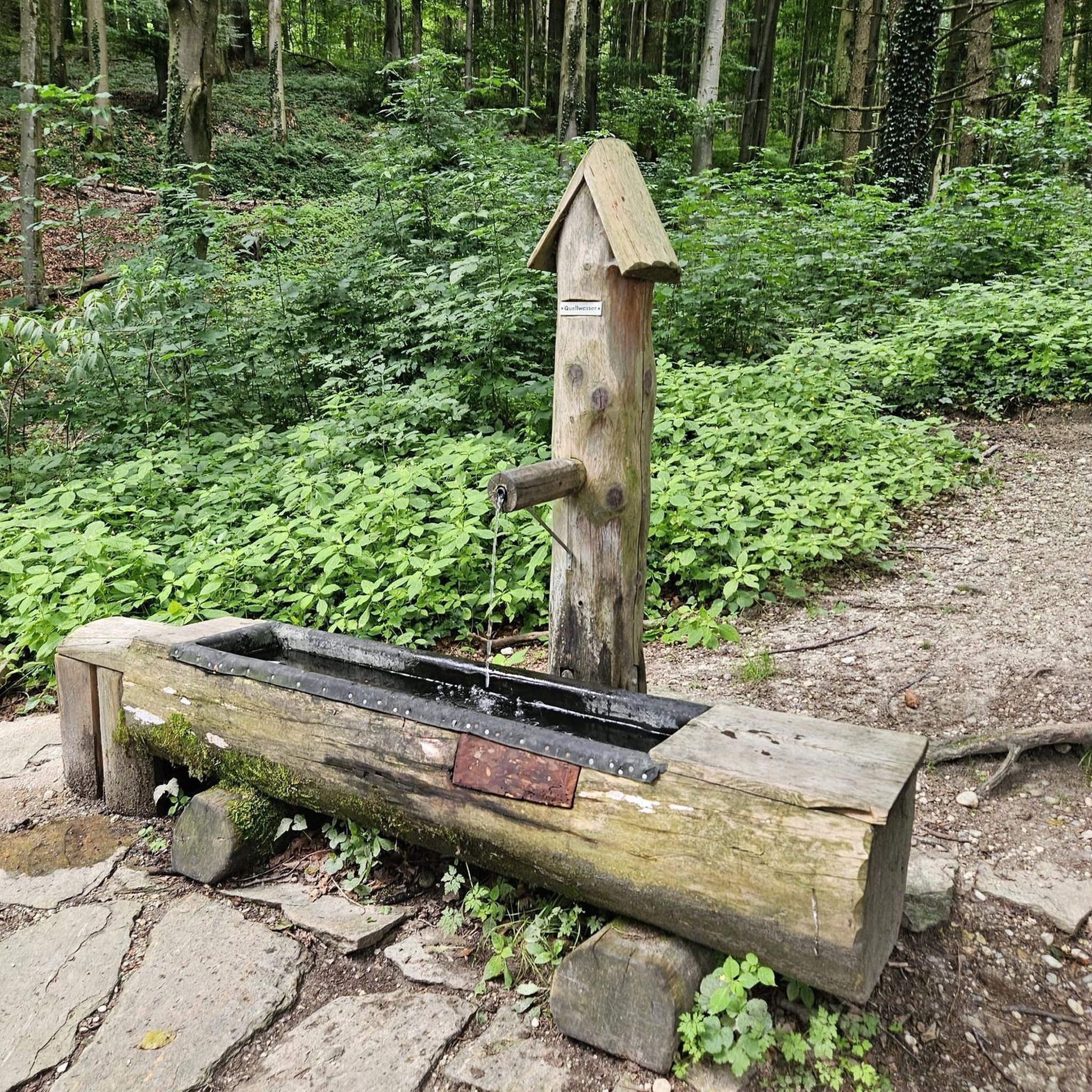
It is an unusual half-moon stone structure holding the water, with three strange heads out of whose mouths the water flows down to the river.
0
0

We had to double back on ourselves slightly to see the lakes, as they were hidden behind a hedge
0
1

If you follow the beautiful trail that departs from Southam heading east and runs alongside the River Stowe, you will come across The Holy Well, believed to be the oldest recorded Holy Well in England. It has been there for over a thousand years, with its most recent renovation taking place almost twenty years ago.
1
0
This church is located in the center of Southam, very close to the River Stowe. The church, dedicated to the Apostle Saint James, was built during the 14th century with lias and red sandstone. The structure consists of a nave, chancel, aisles, and north and south porches, as well as a west tower with a spire
1
0

A fine example of a Warwickshire town. Lovely old town centre with plenty of options for refreshments.
1
0

Cuttle Bridge No 25 is a minor waterways place on the Grand Union Canal (Warwick and Napton Canal) between Napton Junction (Junction of Grand Union and Oxford Canals) (4 miles and 1½ furlongs and 13 locks to the east) and Budbrooke Junction (Junction of Saltisford Arm and Grand Union Main Line) (9 miles and 7¼ furlongs and 12 locks to the west). The nearest place in the direction of Napton Junction is Cuttle Inn (Opposite the Two Boats pub); ¼ furlongs away. The nearest place in the direction of Budbrooke Junction is Bickley's Bridge No 26; 1 furlong away.
0
0

Ufton Stocks were used to punish criminals during the medieval period. An offender’s wrists and/or ankles were placed through the holes and held there as a punishment. The stocks are located behind the north wall of St Michael's Church.
1
0
The remains of a Medieval cross. Only the carved head survives; the base and the shaft are modern. It stands in the churchyard of St Michael's Church, Ufton. Close to the S entrance to the churchyard there is a cross, the head of which dates from the close of the 14th century. It has four panelled sides with trefoils, crocketed heads, small crocketed pinnacles at the angles, and a crocketed pyramidal top surmounted by a finial. The four panels have carved figures of St Chad, St Catherine, the Crucifixion and the Blessed Virgin Mary. The cross head was dug up in the churchyard and after restoration it was provided with a new shaft and base before being set up in 1862.
0
0
サウザンでのの人気観光スポット

komootモバイルアプリでインスピレーションを得よう


さらに探索
他の地域の最高のランニングトレイル & ルートを見てみましょう。
