ストックトンのおすすめランニングルート
4.3
(31)
1,423
ランナー
138
ランニング
ストックトンでランニングを楽しめば、このエリアをより深く知ることができます。ランニングに適した美しいルートが見つかるように、komootがストックトンでのルートのコレクション全体を評価して選び抜いた、人気ランニングトレイルをご紹介します。ルートをクリックして詳細を表示し、他のユーザーがアップロードした役立つ情報や写真を閲覧しましょう。
最終更新日: 10月 24, 2026
7
ランナー
5.07km
00:35
30m
30m
中程度のジョギング. ある程度のフィットネスレベルが必要です。 ほとんどが舗装路です。
16
ランナー
中程度のジョギング. ある程度のフィットネスレベルが必要です。 ほとんどが舗装路です。

12
ランナー
10.8km
01:08
50m
50m
中程度のジョギング. ある程度のフィットネスレベルが必要です。 ほとんどが舗装路です。
8
ランナー
5.97km
00:38
30m
30m
中程度のジョギング. ある程度のフィットネスレベルが必要です。 ほとんどが舗装路です。
11
ランナー
8.85km
00:56
40m
40m
中程度のジョギング. ある程度のフィットネスレベルが必要です。 ほとんどが舗装路です。
さらに多くのルートや他のユーザーのおすすめ情報を確認できます。
すでにアカウントをお持ちですか?
おすすめのツアーは他のkomootユーザーが実際に経験した何千ものアクティビティに基づいています。
無料アカウントで今日から始めよう
次の冒険が待っています。
コミュニティからのヒント

It is an unusual half-moon stone structure holding the water, with three strange heads out of whose mouths the water flows down to the river.
0
0

If you follow the beautiful trail that departs from Southam heading east and runs alongside the River Stowe, you will come across The Holy Well, believed to be the oldest recorded Holy Well in England. It has been there for over a thousand years, with its most recent renovation taking place almost twenty years ago.
1
0
This church is located in the center of Southam, very close to the River Stowe. The church, dedicated to the Apostle Saint James, was built during the 14th century with lias and red sandstone. The structure consists of a nave, chancel, aisles, and north and south porches, as well as a west tower with a spire
1
0

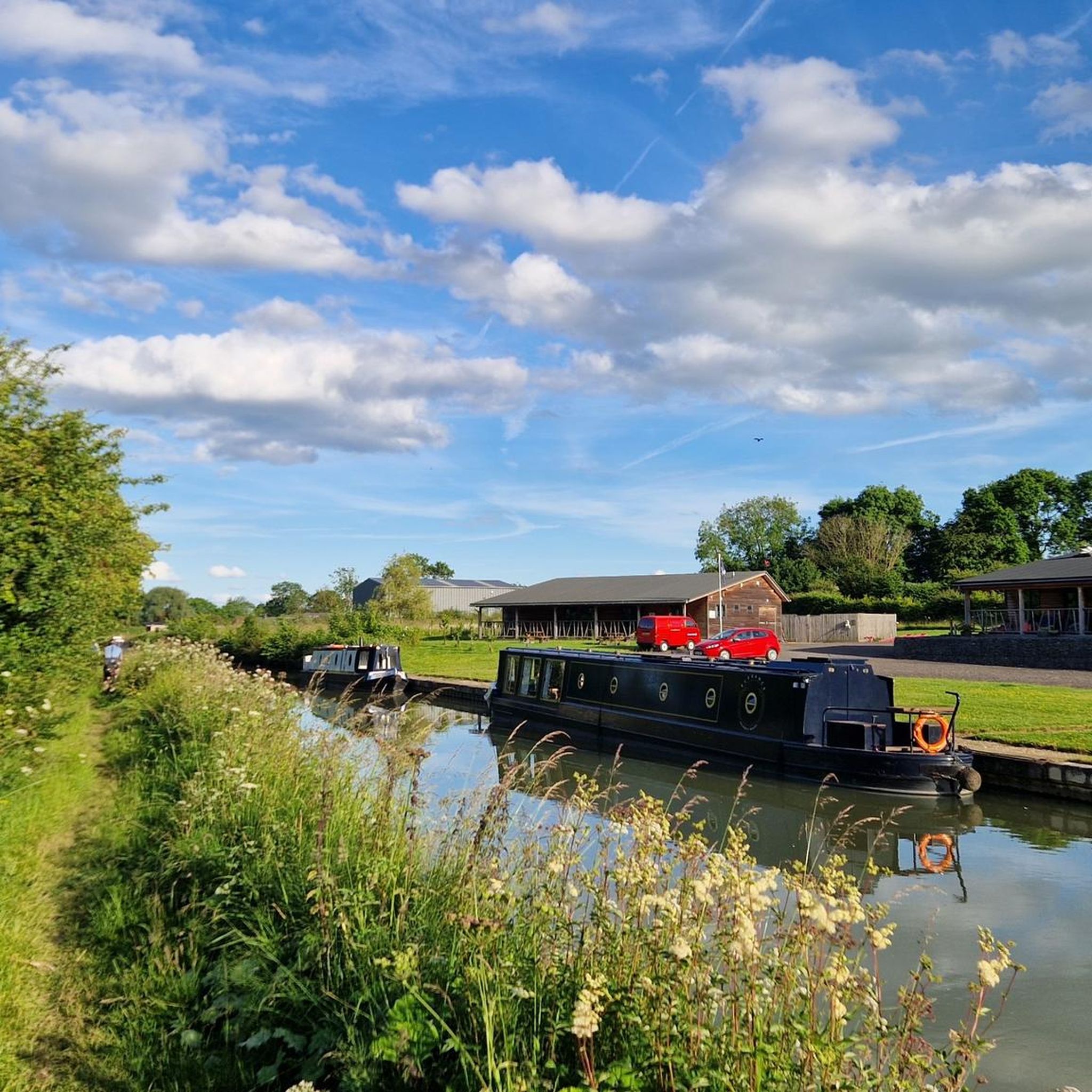
Napton Bridge No 110 is a minor waterways place on the Oxford Canal (Southern Section - Main Line) between Old Engine House Arm Junction (2 miles and 5¾ furlongs and 7 locks to the south) and Napton Junction (Junction of Grand Union and Oxford Canals) (3¾ furlongs to the east). The nearest place in the direction of Old Engine House Arm Junction is Bridge Inn Winding Hole; 3 furlongs away. The nearest place in the direction of Napton Junction is Coventry Road Bridge No 109; ¾ furlongs away.
0
0
Coventry Road Bridge No 109 is a minor waterways place on the Oxford Canal (Southern Section - Main Line) between Old Engine House Arm Junction (2 miles and 6½ furlongs and 7 locks to the south) and Napton Junction (Junction of Grand Union and Oxford Canals) (2¾ furlongs to the east). The nearest place in the direction of Old Engine House Arm Junction is Napton Bridge No 110; ¾ furlongs away. The nearest place in the direction of Napton Junction is Napton Marina; 1¼ furlongs away.
0
0
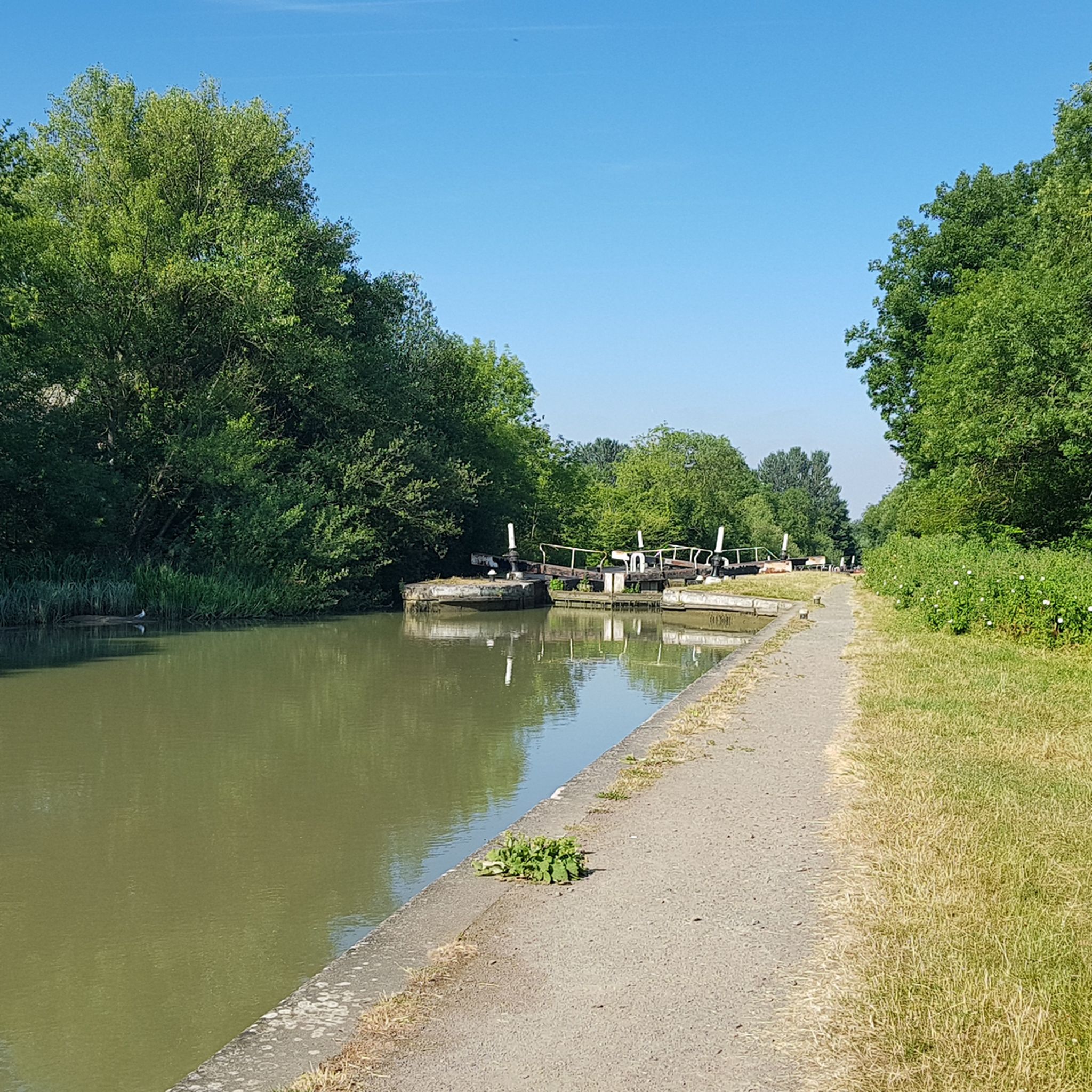
Stockton Lock No 8 is a minor waterways place on the Grand Union Canal (Warwick and Napton Canal) between Napton Junction (Junction of Grand Union and Oxford Canals) (3 miles and 2¾ furlongs and 7 locks to the east) and Budbrooke Junction (Junction of Saltisford Arm and Grand Union Main Line) (10 miles and 6 furlongs and 17 locks to the west). It is part of Stockton Locks. The nearest place in the direction of Napton Junction is Stockton Lock No 7; ½ furlongs away. The nearest place in the direction of Budbrooke Junction is Stockton Bridleway Bridge No 22; ¼ furlongs away.
0
0
Stockton Lock No 9 is a minor waterways place on the Grand Union Canal (Warwick and Napton Canal) between Napton Junction (Junction of Grand Union and Oxford Canals) (3 miles and 3¼ furlongs and 8 locks to the east) and Budbrooke Junction (Junction of Saltisford Arm and Grand Union Main Line) (10 miles and 5½ furlongs and 16 locks to the west). It is part of Stockton Locks. The nearest place in the direction of Napton Junction is Stockton Bridleway Bridge No 22; ½ furlongs away. The nearest place in the direction of Budbrooke Junction is Stockton Lock No 10; ½ furlongs away.
0
0
Stockton Lock No 10 is a minor waterways place on the Grand Union Canal (Warwick and Napton Canal) between Napton Junction (Junction of Grand Union and Oxford Canals) (3 miles and 3¾ furlongs and 9 locks to the east) and Budbrooke Junction (Junction of Saltisford Arm and Grand Union Main Line) (10 miles and 5 furlongs and 15 locks to the west). It is part of Stockton Locks. The nearest place in the direction of Napton Junction is Stockton Lock No 9; ½ furlongs away. The nearest place in the direction of Budbrooke Junction is Stockton Lock No 11; ½ furlongs away.
0
0
ストックトンでのの人気観光スポット

komootモバイルアプリでインスピレーションを得よう


さらに探索
他の地域の最高のランニングトレイル & ルートを見てみましょう。
