チャペルアスコートのおすすめランニングルート
4.2
(32)
1,605
ランナー
129
ランニング
チャペルアスコートでランニングを楽しめば、このエリアをより深く知ることができます。ランニングに適した美しいルートが見つかるように、komootがチャペルアスコートでのルートのコレクション全体を評価して選び抜いた、人気ランニングトレイルをご紹介します。ルートをクリックして詳細を表示し、他のユーザーがアップロードした役立つ情報や写真を閲覧しましょう。
最終更新日: 10月 9, 2026
4.7
(3)
42
ランナー
5.62km
00:35
40m
40m
中程度のジョギング. ある程度のフィットネスレベルが必要です。 全般的に舗装された状態です。あらゆるスキルレベルに適しています。
3.5
(2)
24
ランナー
6.66km
00:42
50m
50m
中程度のジョギング. ある程度のフィットネスレベルが必要です。 全般的に舗装された状態です。あらゆるスキルレベルに適しています。

16
ランナー
9.64km
01:01
60m
60m
中程度のジョギング. ある程度のフィットネスレベルが必要です。 全般的に舗装された状態です。あらゆるスキルレベルに適しています。
15
ランナー
13.1km
01:22
80m
80m
中程度のジョギング. ある程度のフィットネスレベルが必要です。 全般的に舗装された状態です。あらゆるスキルレベルに適しています。
8
ランナー
13.3km
01:29
120m
120m
中程度のジョギング. ある程度のフィットネスレベルが必要です。 全般的に舗装された状態です。あらゆるスキルレベルに適しています。
さらに多くのルートや他のユーザーのおすすめ情報を確認できます。
すでにアカウントをお持ちですか?
おすすめのツアーは他のkomootユーザーが実際に経験した何千ものアクティビティに基づいています。
無料アカウントで今日から始めよう
次の冒険が待っています。
コミュニティからのヒント

This church is located in the center of Southam, very close to the River Stowe. The church, dedicated to the Apostle Saint James, was built during the 14th century with lias and red sandstone. The structure consists of a nave, chancel, aisles, and north and south porches, as well as a west tower with a spire
1
0

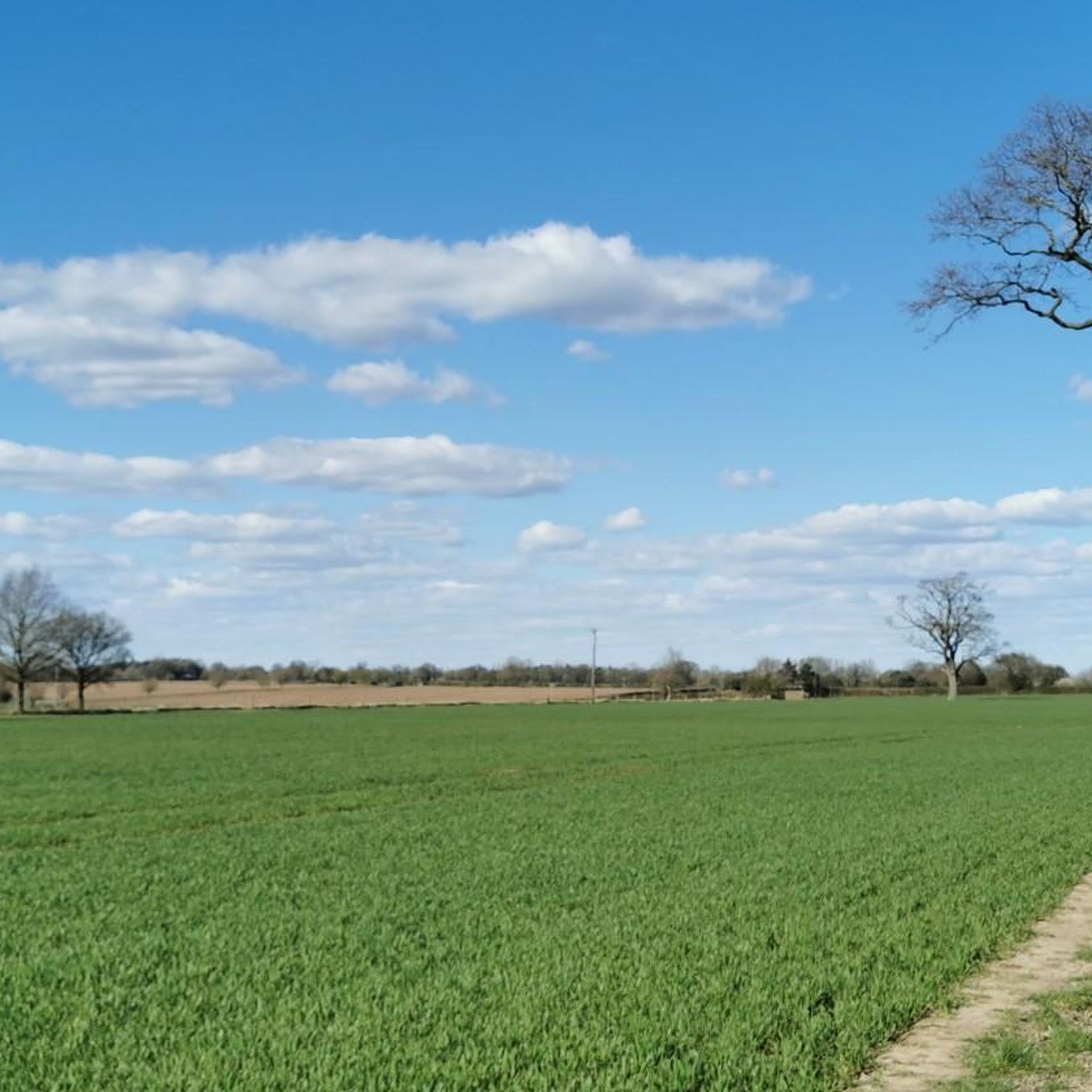
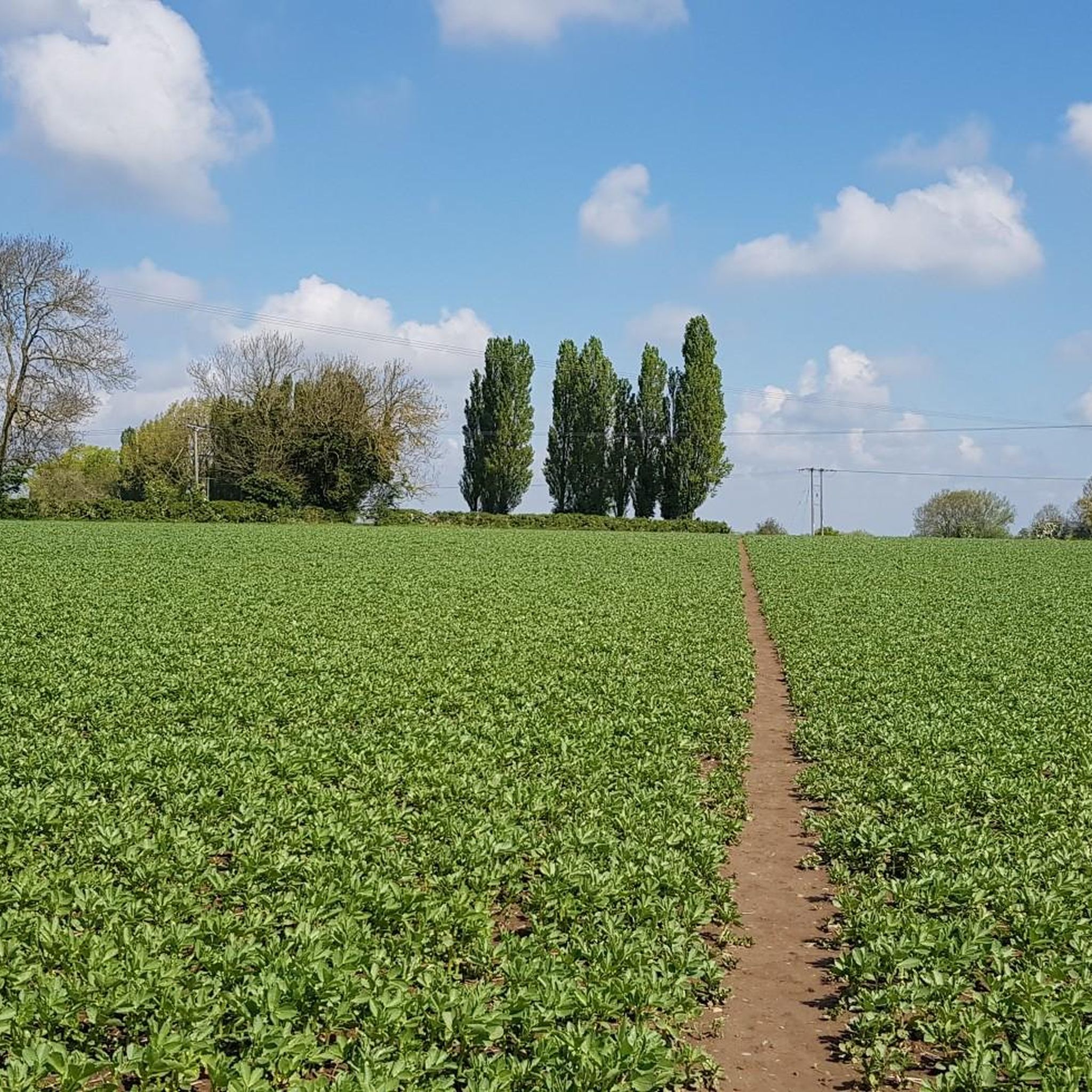
Two wheatfields to cycle through, no problem. The final bit to the M40 crossing more overgrown so a bit of Hike A Bike. one point appeard closed off by barbed wire but overgrown willow on path leading to B'way gate to bridge over the Mway
0
0

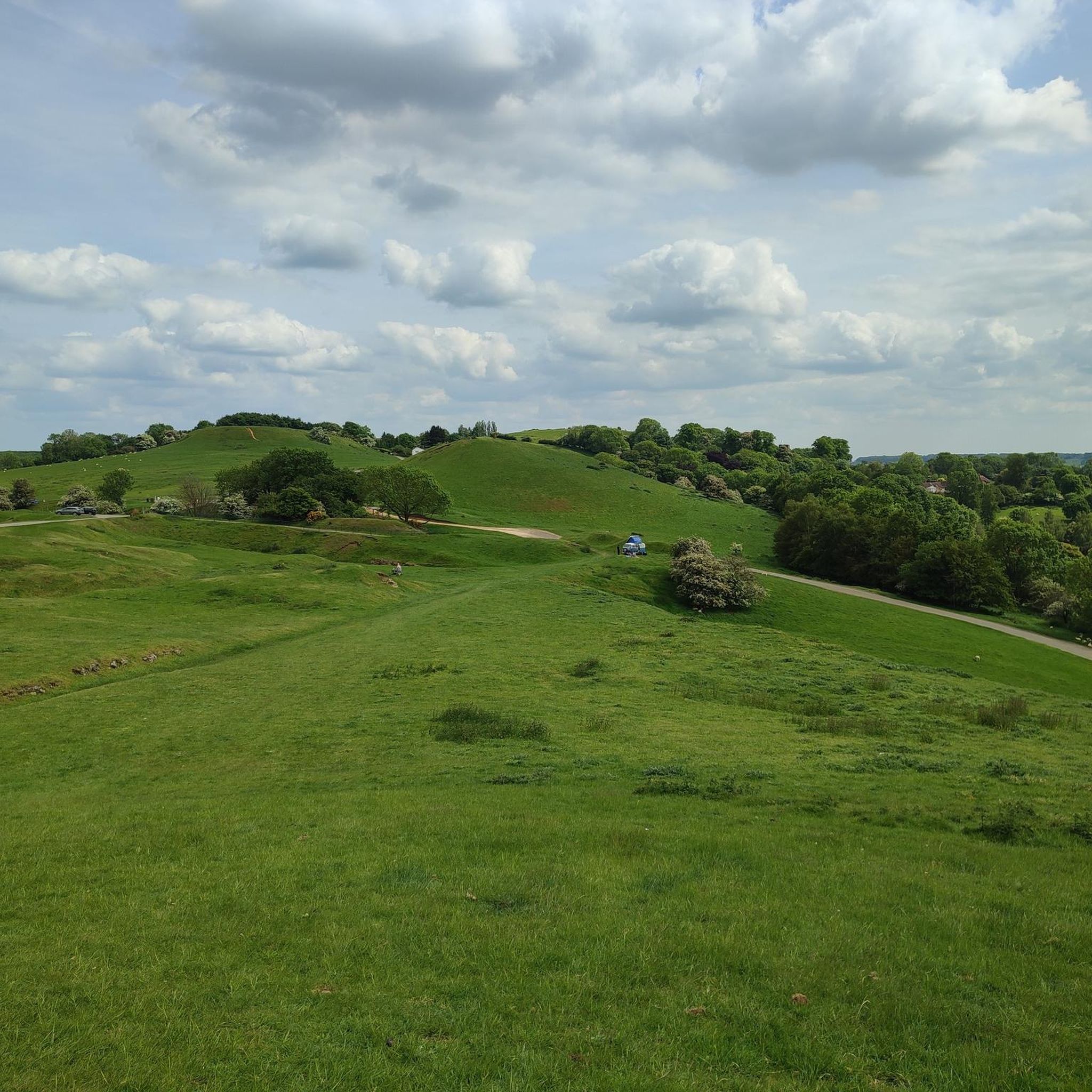
Cycling paradise as the gates keep most cars out - allowing you to ride freely. A greta pace for beginners to build up confidence.
0
0
A fine example of a Warwickshire town. Lovely old town centre with plenty of options for refreshments.
1
0

This Methodist Church has been here since 1837.
0
0
Avon Dassett Reading Room is owned and managed by the Parish Council. The Reading Room was given to the village as a gift from Thomas Perry the owner of Bitham Hall in 1898.
0
0
This well is a bit of an enigma, in the deserted Burton Dassett village in Northend, is found a substantial well head which has claims to be a ‘Holy Well’ although the provenance is unclear. Burgess (1876) in his Warwickshire History simply notes that it was used for baptism and immersion. Whilst Bord and Bord (1985) Sacred Waters appear to be earliest to refer to it as such stating: “the holy well with its stone cover will be seen on the left-hand side of the lane as you approach the church”. The present stone well house is of a considerable size being constructed of local red sandstone around 1840 in a Grecian style. The central doorway is party below ground level and has steps down into a square chamber. Over the stone lintel but the worn instruction is an inscription with carved flowers. It possibly states 1534 but it was not clear. It is evident that the well was part of an estate improvement but when and by whom? And did it exist before? If it does say 1534 that is an early date for a landed estate improvement. It certainly is still visited by well wishers as coins are found in its waters. Sadly, despite a substantial water supply it did not stop the demise of the village and now only the substantial church remains, which incidentally is worthy of a visit.
0
0
A circular earthwork is clearly visible on the ground on Harts Hill. It measures approximately 15m internal diameter, the ditch is 2m wide and the entrance (facing SE) is 2.5m across.
0
0
チャペルアスコートでのの人気観光スポット

komootモバイルアプリでインスピレーションを得よう


さらに探索
他の地域の最高のランニングトレイル & ルートを見てみましょう。
