ヴェルショイドルフのおすすめウォーキング&ハイキングルート
4.4
(152)
510
ハイカー
31
ハイキング
ヴェルショイドルフ周辺でのハイキングは、景色を満喫するのに最適な手段のひとつですが、適切なハイキングルートを見つけることは簡単ではありません。 ヴェルショイドルフ周辺の人気ハイキング&ウォーキングコースを参考にすれば、行きたいルートをすぐに見つけられます。
最終更新日: 9月 7, 2026
4.7
(27)
39
ハイカー
13.4km
03:41
220m
220m
中程度のハイキング. ある程度のフィットネスレベルが必要です。 進みやすいルートです。あらゆるスキルレベルに適しています。
4.4
(10)
47
ハイカー
21.1km
06:02
480m
480m
難しいハイキング. 標準以上のフィットネスレベルが必要です。 進みやすいルートです。あらゆるスキルレベルに適しています。

4.6
(12)
45
ハイカー
5.49km
01:30
90m
90m
初級者向けハイキング. あらゆるフィットネスレベルに適しています。 進みやすいルートです。あらゆるスキルレベルに適しています。
4.3
(6)
38
ハイカー
5.96km
01:35
70m
70m
初級者向けハイキング. あらゆるフィットネスレベルに適しています。 進みやすいルートです。あらゆるスキルレベルに適しています。
4.8
(14)
28
ハイカー
8.66km
02:30
230m
230m
中程度のハイキング. ある程度のフィットネスレベルが必要です。 進みやすいルートです。あらゆるスキルレベルに適しています。
さらに多くのルートや他のユーザーのおすすめ情報を確認できます。
すでにアカウントをお持ちですか?
おすすめのツアーは他のkomootユーザーが実際に経験した何千ものアクティビティに基づいています。
無料アカウントで今日から始めよう
次の冒険が待っています。
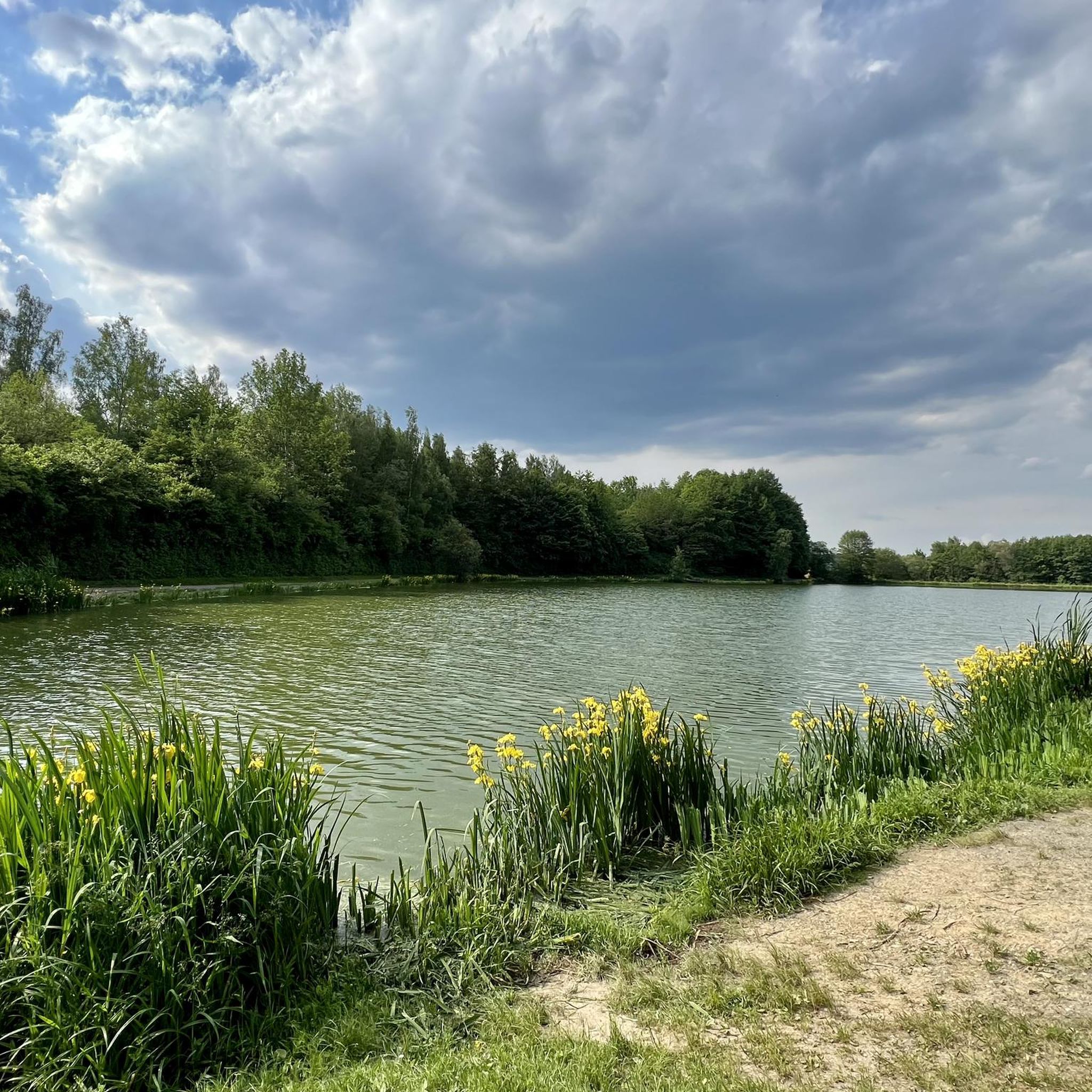
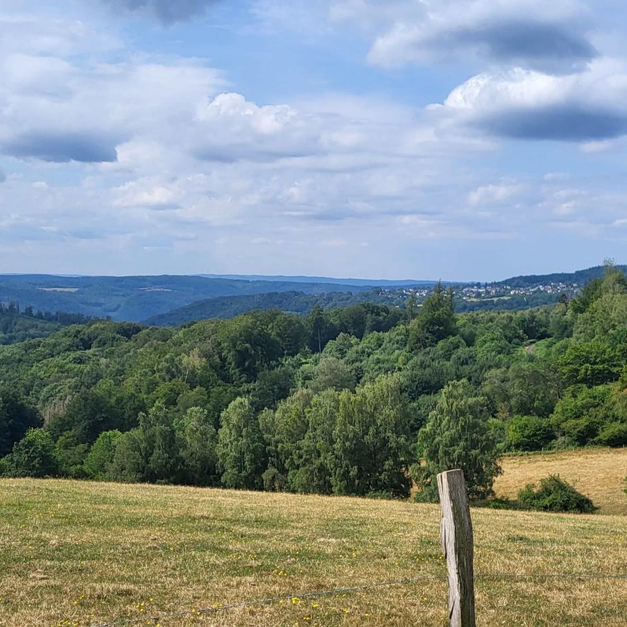
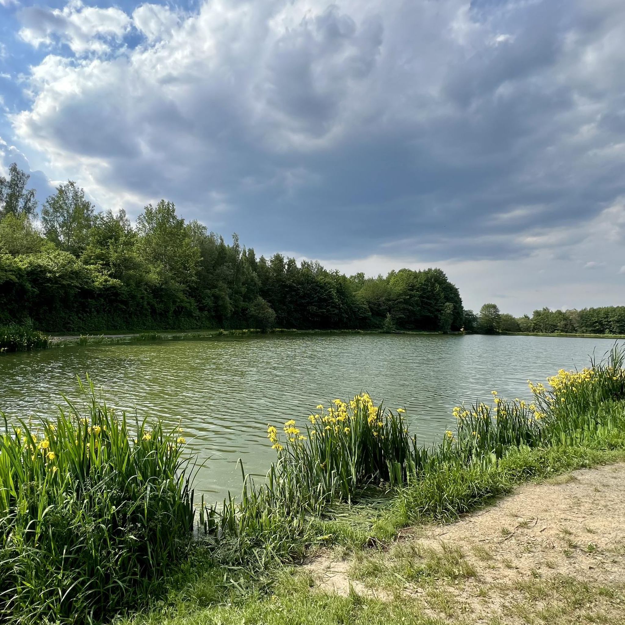
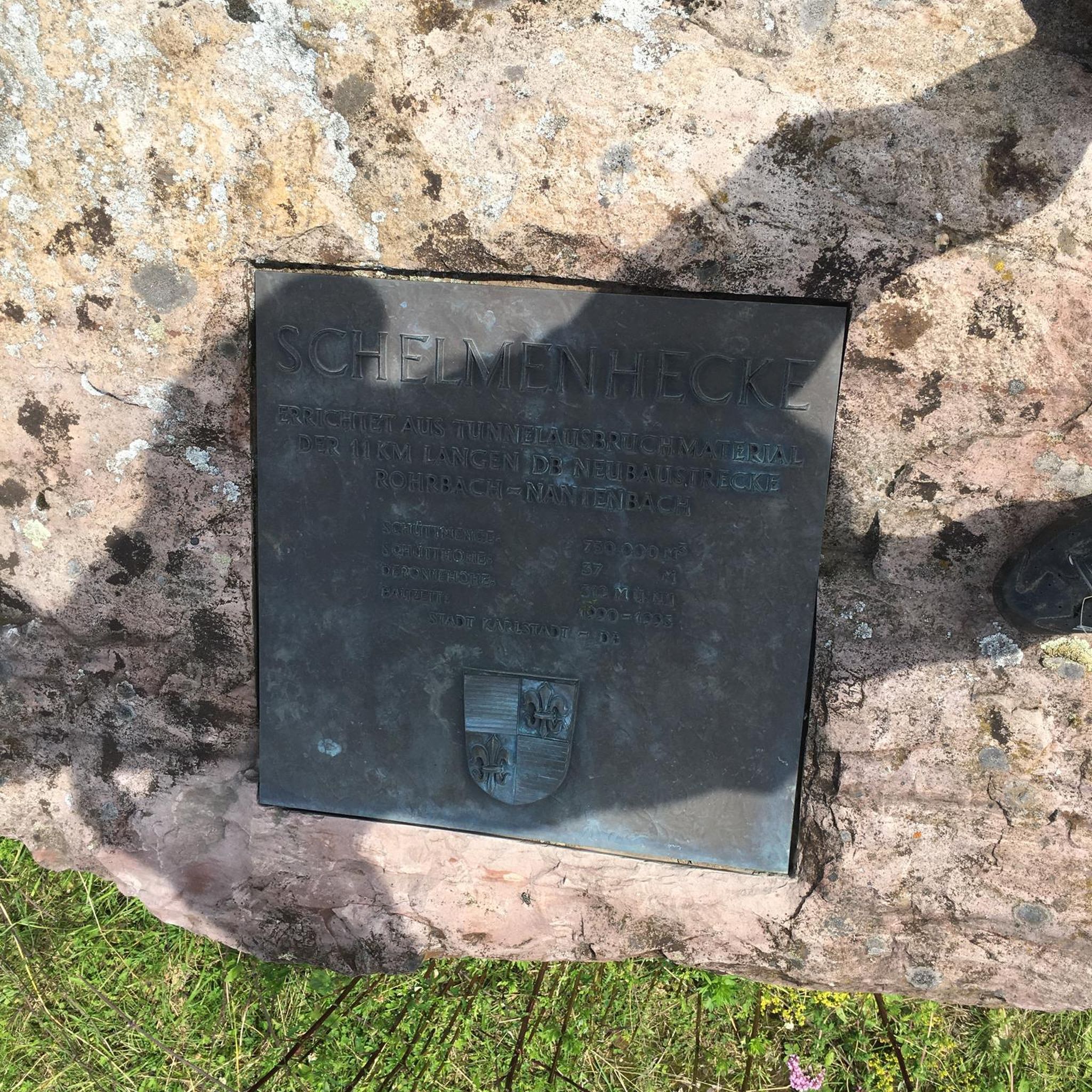
コミュニティからのヒント

ホーフ、スポーツ広場のすぐ隣
0
0


A beautifully situated forest playground with good parking facilities.
0
0

The former Electoral Hunting Lodge in Welschneudorf is today a dual complex consisting of a church and the village community hall (Elector's Hall). Originally built as a hunting lodge for the Electors of Trier, the building later served as a village school and teacher's residence before acquiring its current dual function. Two coats of arms belonging to Johann Phillip von Walderdorff still adorn the east and west sides of the building.
0
0
Scan the QR code and you can listen to the recording, even if you're not hiking the Köhlerweg trail. 😉
0
0
The term Barbaricum, in connection with Welschneudorf, refers to the area of the present-day Westerwald region, which during Roman times lay outside the borders of the Roman Empire (the Limes) and was inhabited by Germanic tribes. The Upper Germanic-Raetian Limes, which marked the border, ran in an arc around the summit of the Weißen Stein (White Stone) in the immediate vicinity of the village.
0
0
According to an old legend, three charcoal burners perished in an accident at this spot. Numerous charcoal kiln sites can still be seen in the area today. Here you can learn a great deal about the lives of the charcoal burners and the work involved in making charcoal.
0
0
Abandoned quarries, including those at Weißen Stein, bear witness to the extraction of quartzite and quartzitic sandstone, which were used as building materials. Until the 1930s, basalt columns were quarried at the Großer Dielkopf, primarily for road construction. There is also evidence of the extraction of pumice sand, a sought-after aggregate for mortar, as well as clay, which was used for house construction. Numerous bowl-shaped depressions (clay pits) can still be seen in the forest today. Deposits of limonite (brown iron ore) are also known to exist. Source: www.qr-kultur.de - Geology of the Westerwald
0
0

komootモバイルアプリでインスピレーションを得よう


さらに探索
他の地域の最高のハイキングを見てみましょう。
