トリーアシャイトのおすすめMTBライド
4.6
(1967)
5,624
ライダー
259
ライド
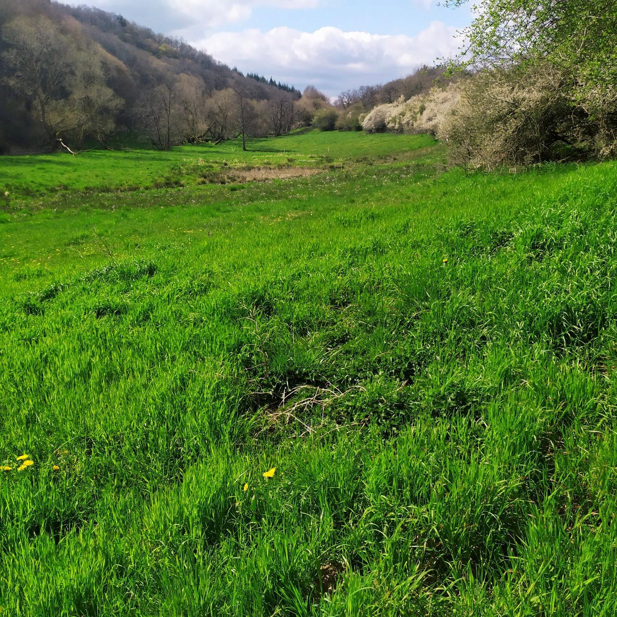
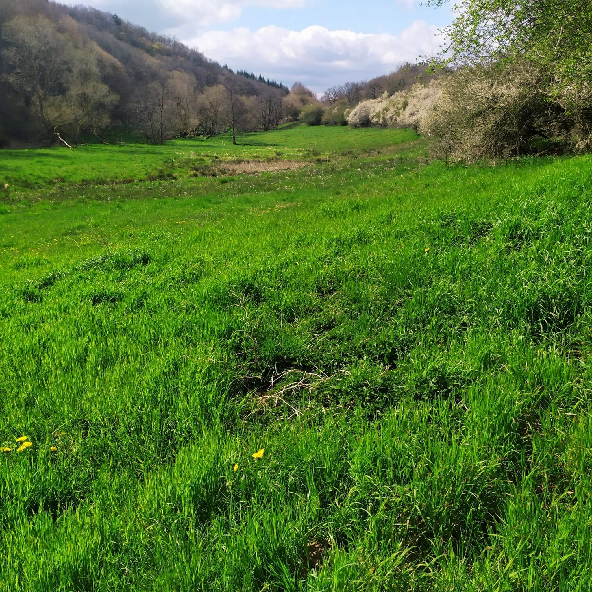
Le mountain bike autour de Trierscheid se situe dans le district d'Ahrweiler en Rhénanie-Palatinat, Allemagne, au sein de la région plus large de l'Eifel. Cette région présente un terrain varié, comprenant de vastes forêts, des prairies et des vallées creusées par de nombreux ruisseaux. Le paysage est également caractérisé par des formations volcaniques, des rochers et des éboulis, qui contribuent à des opportunités de parcours variées et techniques. Ces caractéristiques offrent un environnement dynamique pour les parcours de mountain bike.
…最終更新日: 10月 16, 2026
4.9
(15)
48
ライダー
38.1km
02:22
360m
360m
中程度のマウンテンバイクライド. ある程度のフィットネスレベルが必要です。 あらゆるスキルレベルに適しています。
4.6
(14)
35
ライダー
37.1km
02:34
520m
520m
中程度のマウンテンバイクライド. ある程度のフィットネスレベルが必要です。 あらゆるスキルレベルに適しています。

4.7
(12)
22
ライダー
24.2km
01:38
330m
320m
中程度のマウンテンバイクライド. ある程度のフィットネスレベルが必要です。 あらゆるスキルレベルに適しています。
4.3
(3)
10
ライダー
13.1km
01:03
200m
200m
初級者向けMTBライド. あらゆるフィットネスレベルに適しています。 あらゆるスキルレベルに適しています。
7
ライダー
27.4km
02:00
400m
400m
中程度のマウンテンバイクライド. ある程度のフィットネスレベルが必要です。 あらゆるスキルレベルに適しています。
さらに多くのルートや他のユーザーのおすすめ情報を確認できます。
すでにアカウントをお持ちですか?
おすすめのツアーは他のkomootユーザーが実際に経験した何千ものアクティビティに基づいています。
無料アカウントで今日から始めよう
次の冒険が待っています。

コミュニティからのヒント

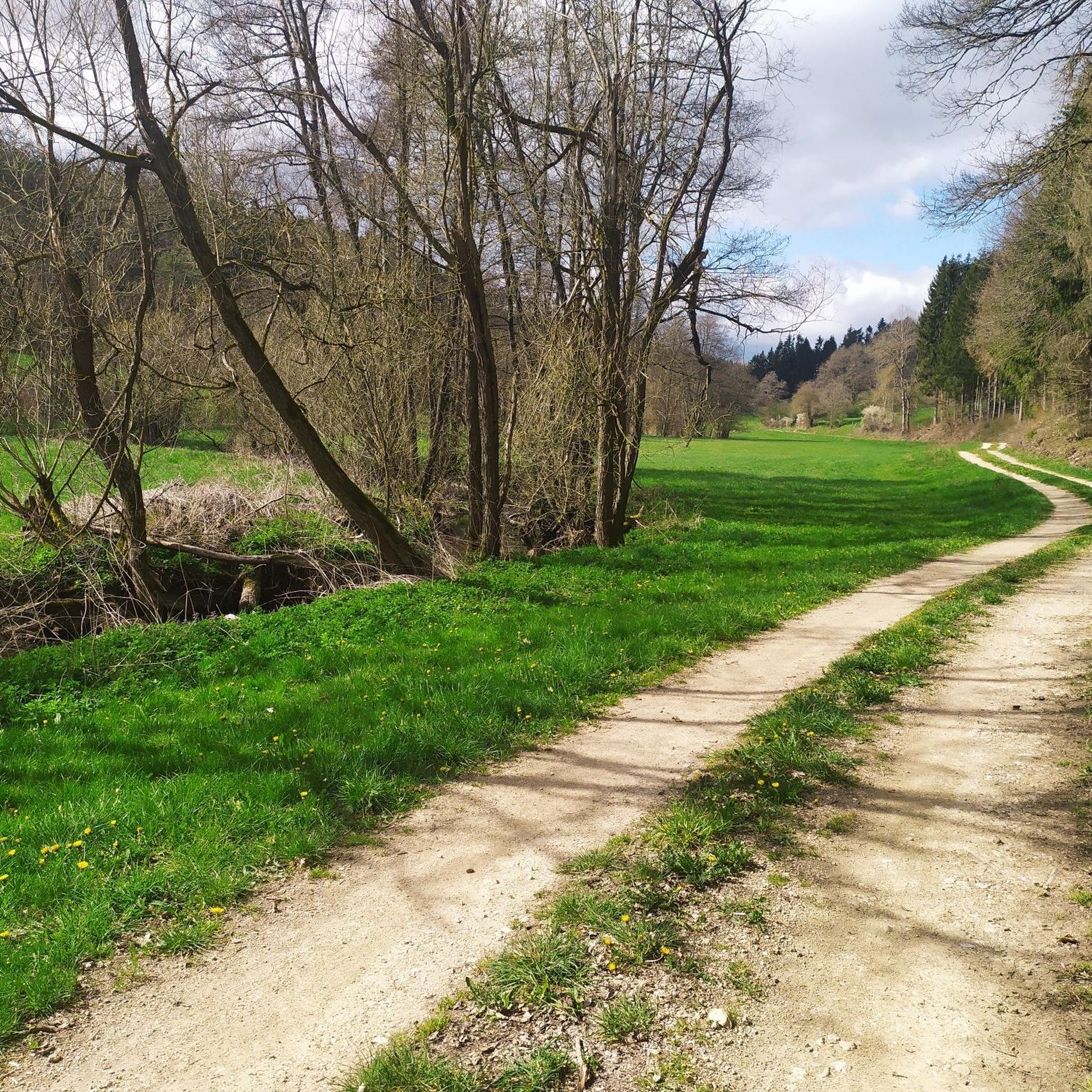
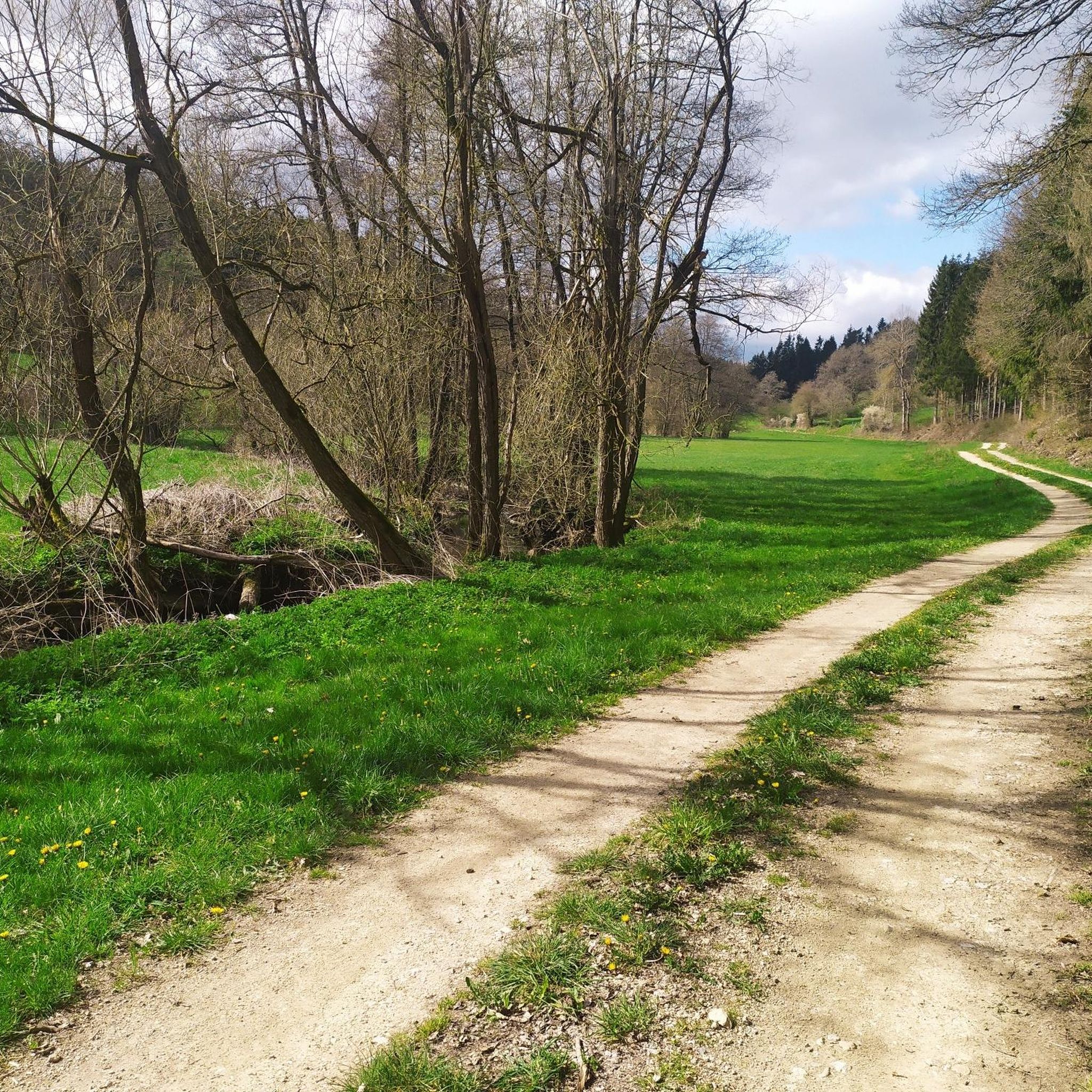
Trierbachはアイフェル地方にあるアール川の支流で、全長は約25kmです。さまざまなハイキングコースやサイクリングロード(Wirftbach-SchleifeやDoppetelte Trierbach-Rundeなど)がこの川を横切ったり、川沿いに続いていたりします。
3
0

Nohner Mühleには、この地域で最高のケーキがあり、誰もが常に非常にフレンドリーです!
1
0

その城は当時国境の城であり、今日でもその役割を果たしていますが、今は廃墟となっています。歴史については、https://de.wikipedia.org/wiki/Burg_Neublankenburg を参照してください。 この城にまつわる伝説は悲劇的です。伯爵の娘は身分違いの恋に落ち、その罰として塔に閉じ込められました。最後は牢獄で餓死しました。女性に対する暴力には長い伝統があります...
0
0

有名なドライミューレン滝へ向かう途中、火山アイフェル地方を越えて、ハイカーは少し前に水の上にそびえ立つ石灰岩の岩層を見ることができます。今日、誰かが私に言ったように、それはシュヴァーベン・アルプを少し彷彿とさせます。
2
0

The karstified limestone cliffs are the first highlight on the path from the parking lot to the waterfall. Here, the stream has carved its way through the limestone, creating the rock face. The limestone originated as a deposit of dead marine organisms on the seabed of a shallow ocean that covered this area millions of years ago. Later, the ground was uplifted by tectonic processes. Limestone reacts with acid and is therefore dissolved by rainwater and surface water, which is slightly carbonated due to the CO2 in the air. This process creates weathered formations and caves. The formation of the Dreimühlen Waterfall is also related to this process.
5
0

Beautiful rock face to see.
5
0
For information about the limestone cliffs, see e.g. https://kreis-ahrweiler.de/kvar/VT/hjb1960/hjb1960.54.htm
3
0

Imposing limestone wall behind the Nohner Mill
2
0
トリーアシャイトでのの人気観光スポット

komootモバイルアプリでインスピレーションを得よう


さらに探索
他の地域の最高のMTBトレイルを見てみましょう。
