バートノイエナール-アールヴァイラーのおすすめMTBライド
4.6
(521)
2,068
ライダー
114
ライド
バートノイエナール-アールヴァイラー周辺でのマウンテンバイクは、その地形を最大限に楽しむのに最適なスポーツですが、ライドのスタート地点を探すのが難しいこともあります。バートノイエナール-アールヴァイラー周辺でおすすめのルートが見つかるように、人気マウンテンバイクルートをご紹介します。
最終更新日: 9月 13, 2026
4.3
(9)
29
ライダー
56.4km
05:17
1,230m
1,230m
難しいマウンテンバイクライド. 標準以上のフィットネスレベルが必要です。 高度なライディングスキルが必要です。
4.6
(57)
273
ライダー
38.5km
02:24
310m
310m
中程度のマウンテンバイクライド. ある程度のフィットネスレベルが必要です。 あらゆるスキルレベルに適しています。

4.4
(30)
165
ライダー
49.7km
04:10
970m
970m
難しいマウンテンバイクライド. 標準以上のフィットネスレベルが必要です。 高度なライディングスキルが必要です。ツアーの一部で自転車を押して歩く必要があるかもしれません。
4.2
(13)
65
ライダー
32.7km
02:35
480m
480m
中程度のマウンテンバイクライド. ある程度のフィットネスレベルが必要です。 高度なライディングスキルが必要です。
4.9
(29)
69
ライダー
33.3km
02:29
490m
490m
中程度のマウンテンバイクライド. ある程度のフィットネスレベルが必要です。 高度なライディングスキルが必要です。
さらに多くのルートや他のユーザーのおすすめ情報を確認できます。
すでにアカウントをお持ちですか?
おすすめのツアーは他のkomootユーザーが実際に経験した何千ものアクティビティに基づいています。

コミュニティからのヒント

私はラマースバッハから非常に頻繁にスタートし、日陰の道やトレイルにいつも感動しています。
0
0

Within the ancient walls of the Augustinian convent, built in 1137, a truly enchanting setting awaits. The unique ambiance of the convent garden and ruins invites quiet contemplation and is equally suitable for events, ranging from concerts to private family celebrations, whether large or small.
1
0

Four lines, from the Blue Marble Run without any major surprises, to the Purple Organic Line, which has two interesting sections that will probably make every second rider stop the first time, and then to the Red Line, which, in addition to a few jumps, also leads through three dips, of which the second and third should definitely be considered on the first run. The Red Line can be varied; halfway through, there's an option to switch to Black for a section. Last but not least, there's the Black Line, which features a few gaps and ends in a dip, which requires some effort due to the approach. Today (August 2025), the route is already a bit rutted in places due to the prolonged dry spell. The berms are a bit rougher and more slippery.
0
0

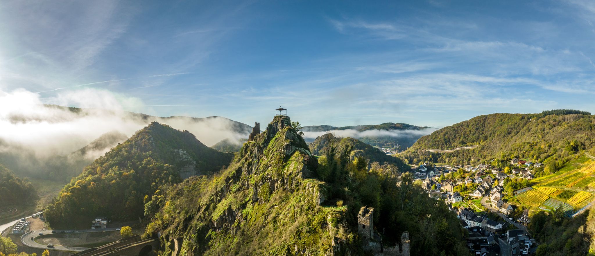
The castle ruins are located on an elongated rock massif, surrounded on three sides by the Ahr River and traversed by two tunnels of the Ahr Valley Railway. The disused tunnel of the former second northern track served as the route of the Ahr Cycle Path until the 2021 flood. The castle complex is approximately 260 meters long and 80 meters wide. The castle consisted of two outer baileys and the inner bailey, separated from each other by deep moats. The excavated material from the moats was used as building material.
8
0

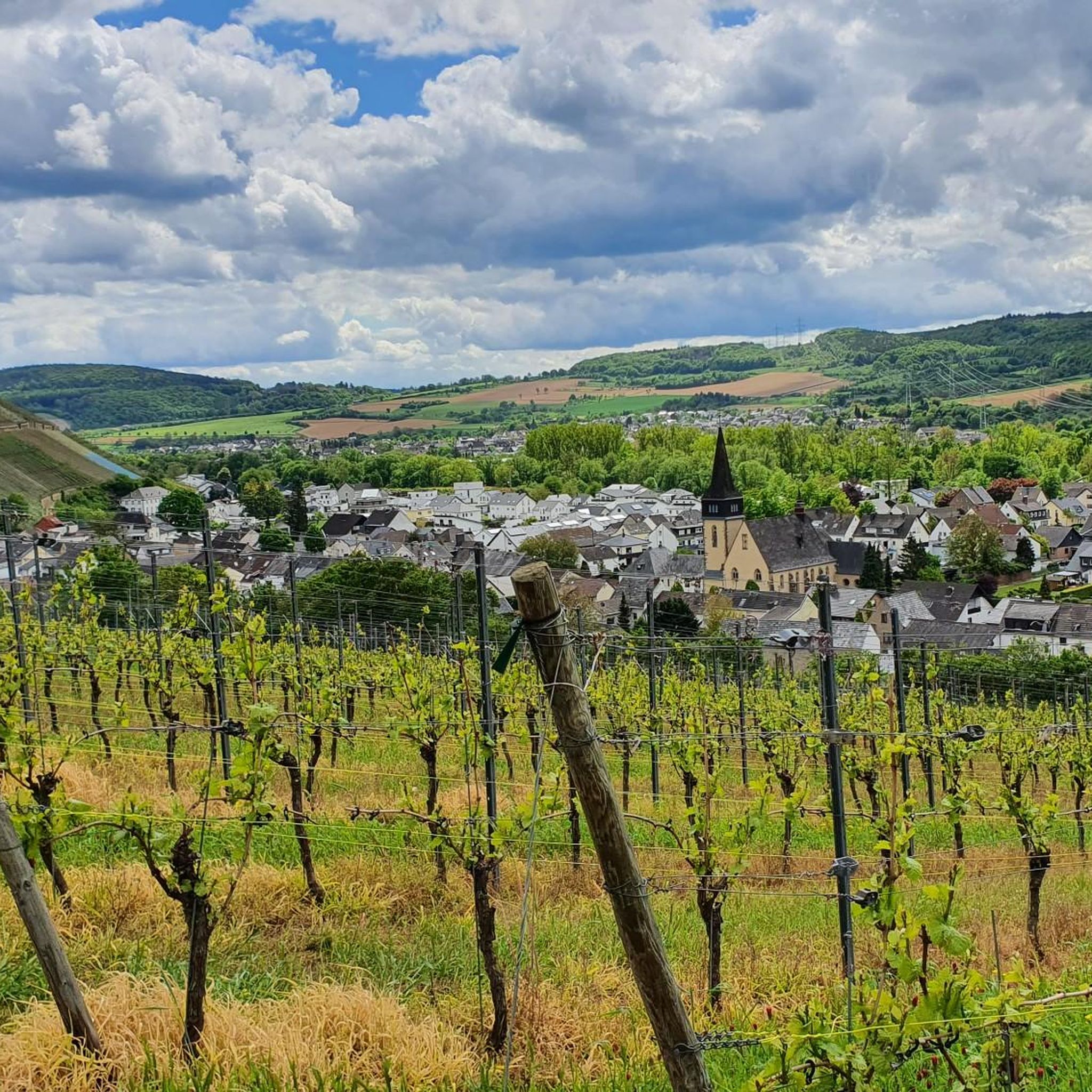
Beautiful spot, especially with a beautiful view over the vineyard. Highly recommended.
2
0
Small but mighty. Offering instead of prohibiting is something Neuenahr has absolutely recognized and done right.
2
0

Hikers are welcome guests at the Krausberghütte, located on the mountain of the same name above Dernau, just a stone's throw from the Krausberg Tower (if interested, see https://www.komoot.com/de-de/highlight/72123). It is run by the local chapter of the Eifel Association – a volunteer organization. Those planning a stop here should check the opening hours beforehand.
11
0
バートノイエナール-アールヴァイラーでのの人気ルート
バートノイエナール-アールヴァイラーでのの人気観光スポット

komootモバイルアプリでインスピレーションを得よう


さらに探索
他の地域の最高のMTBトレイルを見てみましょう。
