テンスフェルトのおすすめウォーキング&ハイキングルート
4.5
(5377)
17,398
ハイカー
13
ハイキング
テンスフェルト 周辺でおすすめのハイキングやウォーキングを楽しんでいただけるように、このエリアの小径やルートを集めたkomootコレクション全体を見直しました。 以下で各ルートの詳細をご覧になり、テンスフェルト周辺の大自然を満喫する際の参考にしてください。
最終更新日: 10月 8, 2026
4.8
(111)
275
ハイカー
6.27km
01:36
20m
20m
初級者向けハイキング. あらゆるフィットネスレベルに適しています。 進みやすいルートです。あらゆるスキルレベルに適しています。
4.3
(7)
19
ハイカー
21.6km
05:34
110m
110m
難しいハイキング. 標準以上のフィットネスレベルが必要です。 進みやすいルートです。あらゆるスキルレベルに適しています。

4.0
(6)
9
ハイカー
10.1km
02:36
50m
50m
中程度のハイキング. ある程度のフィットネスレベルが必要です。 進みやすいルートです。あらゆるスキルレベルに適しています。
5.0
(1)
13
ハイカー
5.83km
01:29
20m
20m
初級者向けハイキング. あらゆるフィットネスレベルに適しています。 進みやすいルートです。あらゆるスキルレベルに適しています。
4.5
(6)
24
ハイカー
4.76km
01:13
20m
20m
初級者向けハイキング. あらゆるフィットネスレベルに適しています。 進みやすいルートです。あらゆるスキルレベルに適しています。
さらに多くのルートや他のユーザーのおすすめ情報を確認できます。
すでにアカウントをお持ちですか?
おすすめのツアーは他のkomootユーザーが実際に経験した何千ものアクティビティに基づいています。
無料アカウントで今日から始めよう
次の冒険が待っています。

コミュニティからのヒント

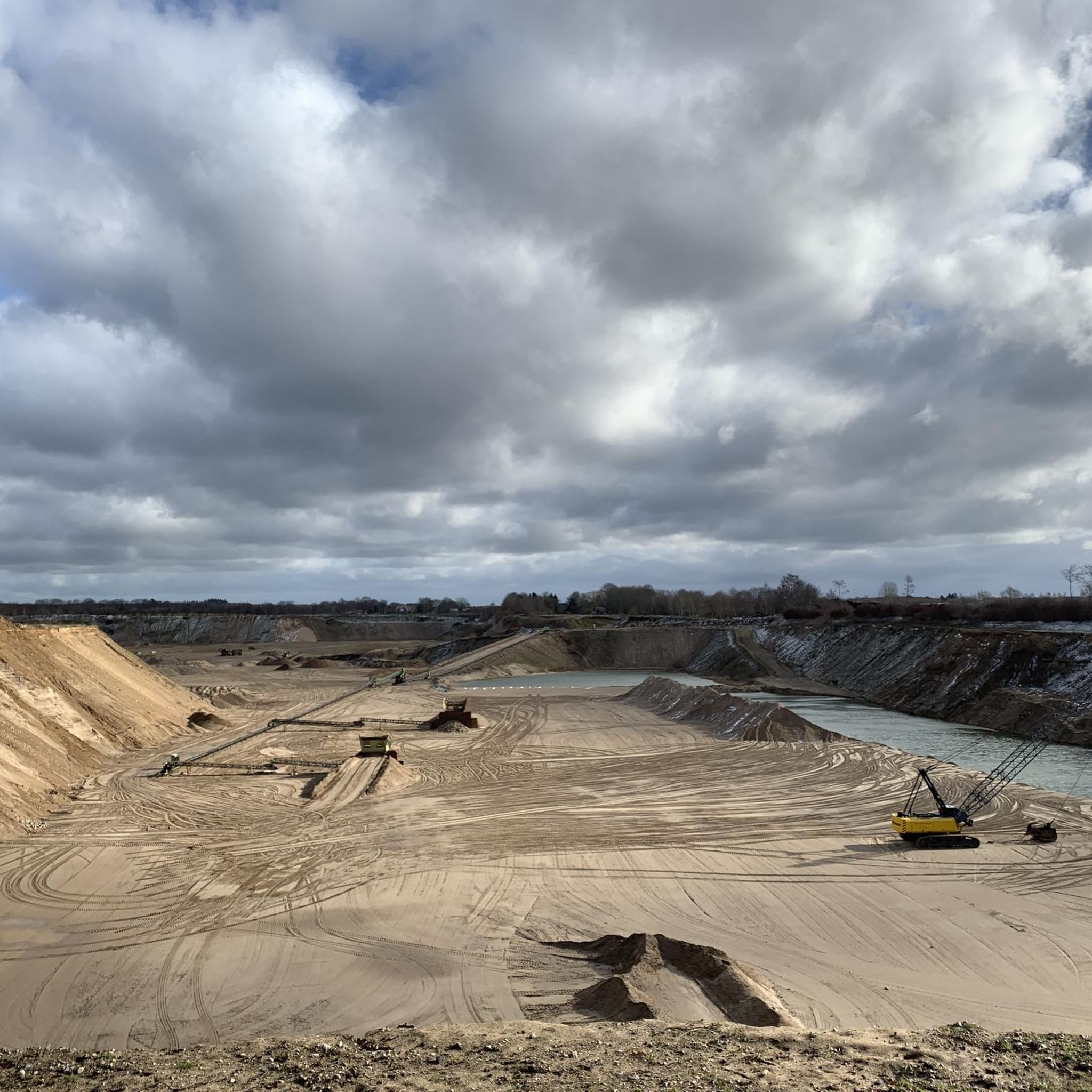
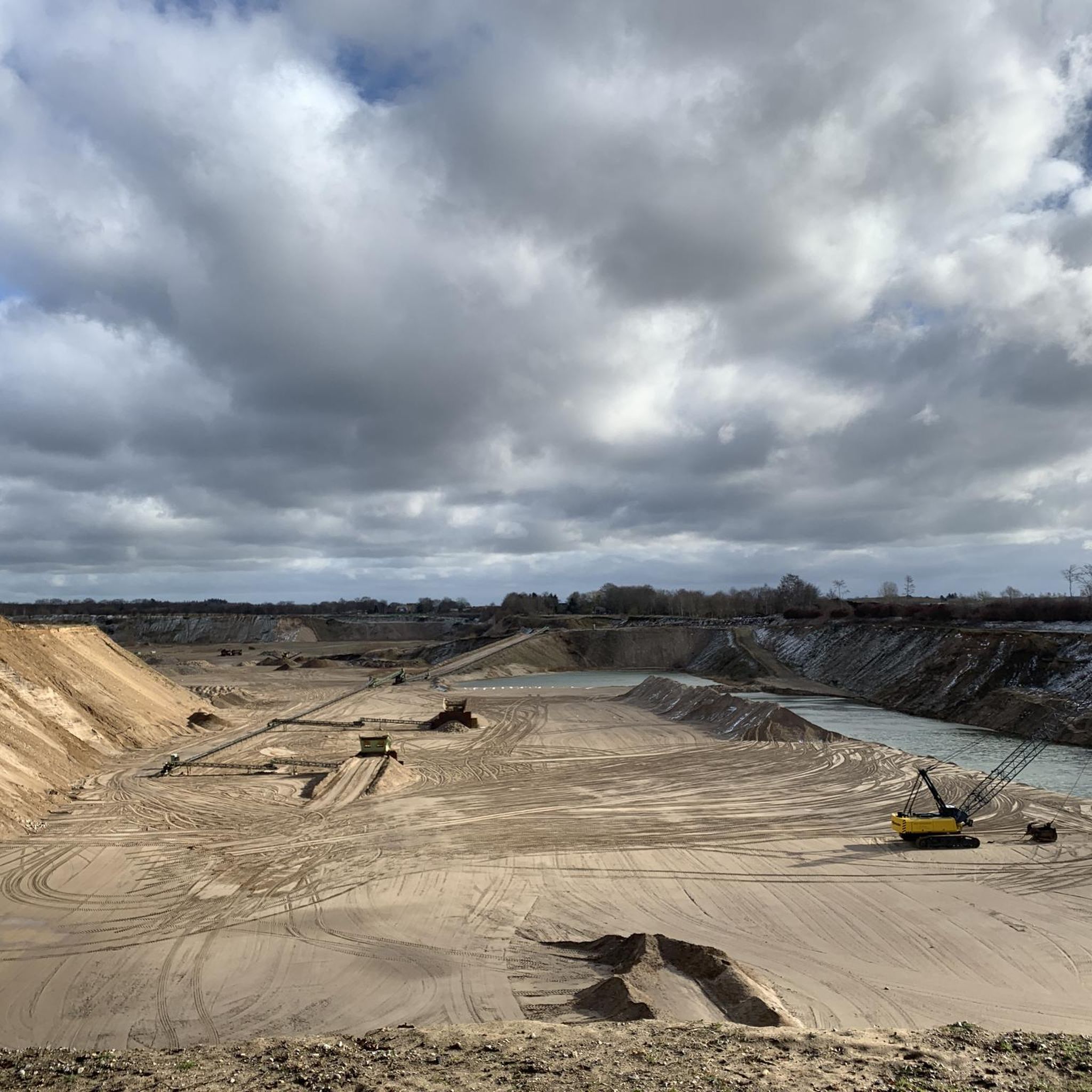
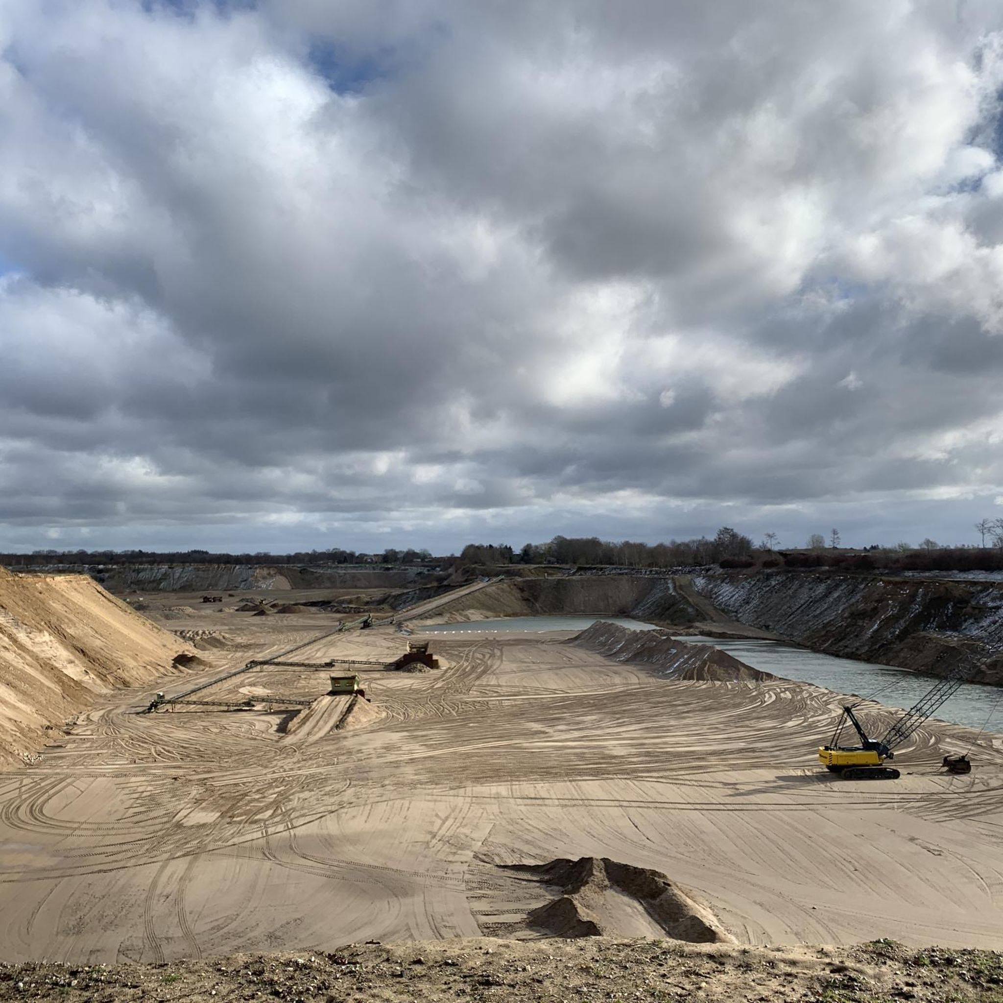
ターベカー・ムーアは、最後の氷河期以降に融雪の溝の中に形成された、より大きな泥炭地の残骸です。周囲の泥炭地は19世紀と20世紀に排水され、ほぼ完全に牧草地になりました。ターベカー・ムーアは、1951年から1990年まで、鉱物の基盤まで部分的に工業的に採掘されました。泥炭の採掘は、高層湿原の植生を完全に破壊しました。
8
0
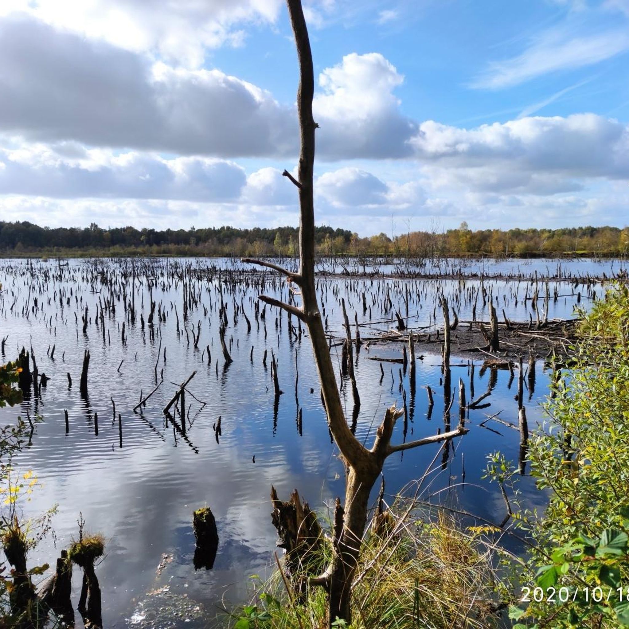
1991年に、タルベーカー・ムーア(まだ自然再生可能な高層湿原)の自然再生が始まりました。テンスフェルダー・アウの水を引き込み、地下からの湧水や斜面からの水の流入により、かつての採掘跡地に広範囲にわたり遷移湿原や浮遊湿原の植生が形成されました。西側の浅い湖では、ミズバショウ(Calla palustris)の泥炭蘚類が豊富な浮遊マットや、ハリセンボンモ(Utricularia vulgaris)の広がる水面が優占しています。東側の採掘跡地では、灰色柳が点在するスゲ(Carex paniculata)、カヤツリグサモドキ(Carex pseudocyperus)、ホソガヤツリ(Juncus effusus)の広範囲な群落が形成されました。場所によっては、希少な泥炭蘚類が見られます
9
0

湿原は静かで自然のままの場所です。 静かに滞在することができますし、そうするべきです。
1
0

Lake Nehms offers a beautiful beach with real sand, a spacious, well-maintained green area, and a lovely wooden bathing jetty. The beach is free to use and there is no lifeguard on duty – ideal for nature-based swimming. In June, the water quality is exceptionally clean. Clearly demarcated non-swimmer and swimmer zones ensure safety.
6
0
On the northern shore of Lake Nehms, there are several designated dog bathing areas – here's one of them. A particularly convenient feature: They're protected by a reed-free zone, so your four-legged friend can splash around in the water undisturbed. Note: Fishing is prohibited year-round at the dog bathing areas 😅
2
0


As part of the Holstein Switzerland Nature Park, the Tarbek Moor with its special charm is a popular excursion destination that gives you a variety of impressions. With its diverse composition of ponds and vegetation-free peat banks, it offers undisturbed insights into a mysterious-looking habitat. A moor birch forest borders dark ponds surrounded by snakeroot, dead birch trees in water-filled peat pits rise picturesquely into the sky and fields of waving cotton grass are reminiscent of images from Nordic legends. In the 131-hectare area, which was previously used as a peat extraction area, remnants of this use can still be seen today and carefree cycling and hiking from the Tarbek Moor to the Ihlsee in Bad Segeberg is possible both along former routes that have been preserved to this day and along the railway embankment that connected Bad Segeberg, Bornhöved and Kiel until 1960. https://www.blunkerbach-sh.de/tarbeker-moor
3
0
The path is 600 m off-grid along the lake shore. According to the tracks, it is a path frequented by red deer.
3
0
テンスフェルトでのの人気観光スポット

komootモバイルアプリでインスピレーションを得よう


さらに探索
他の地域の最高のハイキングを見てみましょう。
