ブロッソのおすすめウォーキング&ハイキングルート
4.4
(2653)
11,346
ハイカー
12
ハイキング
ブロッソ周辺でのハイキングは、景色を満喫するのに最適な手段のひとつですが、適切なハイキングルートを見つけることは簡単ではありません。 ブロッソ周辺の人気ハイキング&ウォーキングコースを参考にすれば、行きたいルートをすぐに見つけられます。
最終更新日: 8月 30, 2026
4.0
(9)
55
ハイカー
10.4km
04:24
680m
680m
Hike the difficult Monte Cavallaria Summit Trail (via Route 721) for 6.4 miles, gaining 2225 feet with panoramic views of Aosta.
5.46km
02:54
500m
500m
Mountain hike through Gran Paradiso terrain with Alpine views and WWII history at the trailhead.

無料新規登録
4.8
(5)
27
ハイカー
10.6km
04:24
680m
680m
難しいハイキング. ある程度のフィットネスレベルが必要です。 安定して歩行できる技術、丈夫な靴、高標高地での登山経験が必要です。
4.3
(3)
17
ハイカー
11.1km
04:21
670m
670m
中程度のハイキング. ある程度のフィットネスレベルが必要です。 全般的に進みやすいルートです。安定して歩行できる技術が必要です。
4.5
(12)
58
ハイカー
11.5km
04:28
700m
700m
難しいハイキング. ある程度のフィットネスレベルが必要です。 安定して歩行できる技術、丈夫な靴、高標高地での登山経験が必要です。
さらに多くのルートや他のユーザーのおすすめ情報を確認できます。
無料新規登録
すでにアカウントをお持ちですか?
おすすめのツアーは他のkomootユーザーが実際に経験した何千ものアクティビティに基づいています。
無料アカウントで今日から始めよう
次の冒険が待っています。
ログインまたは登録
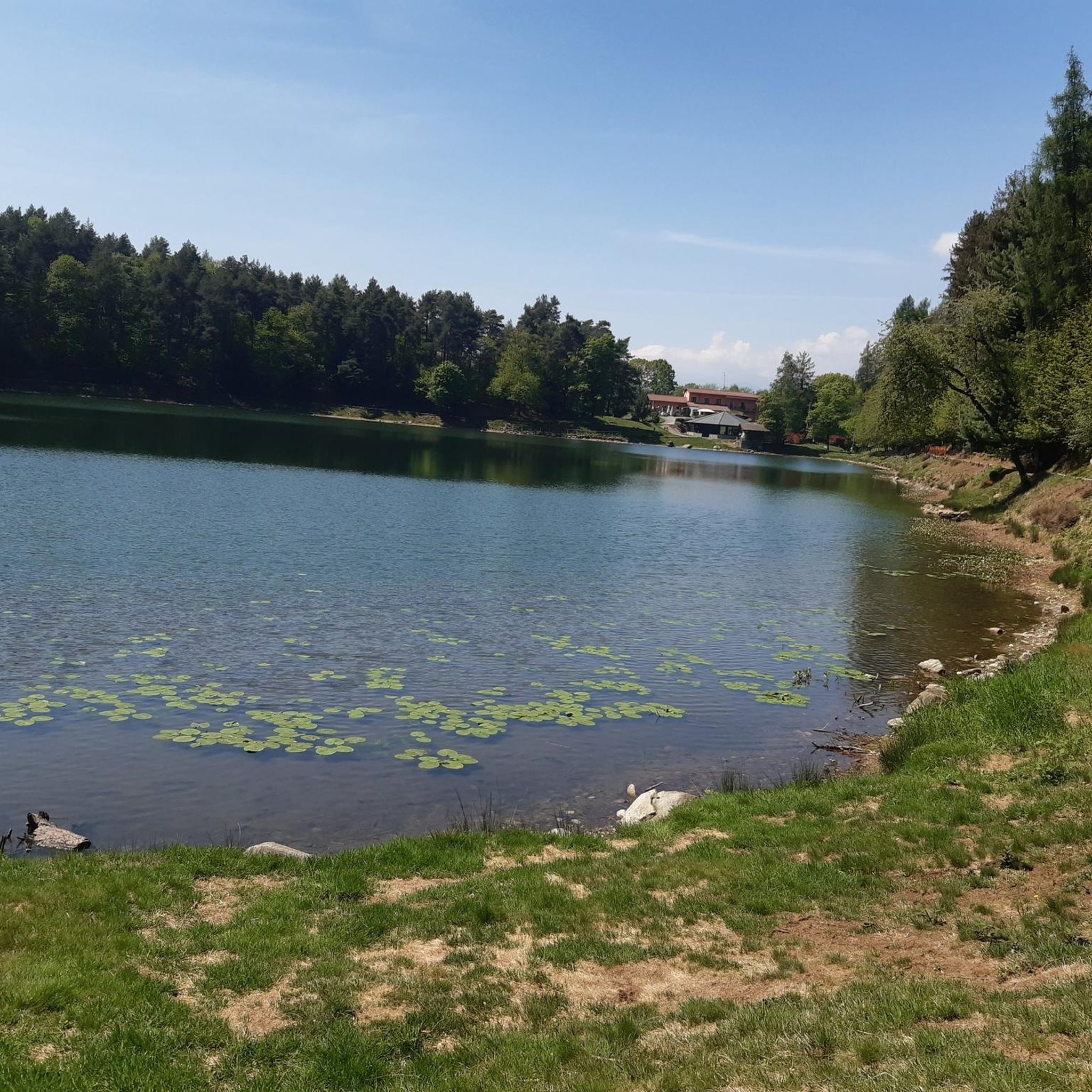
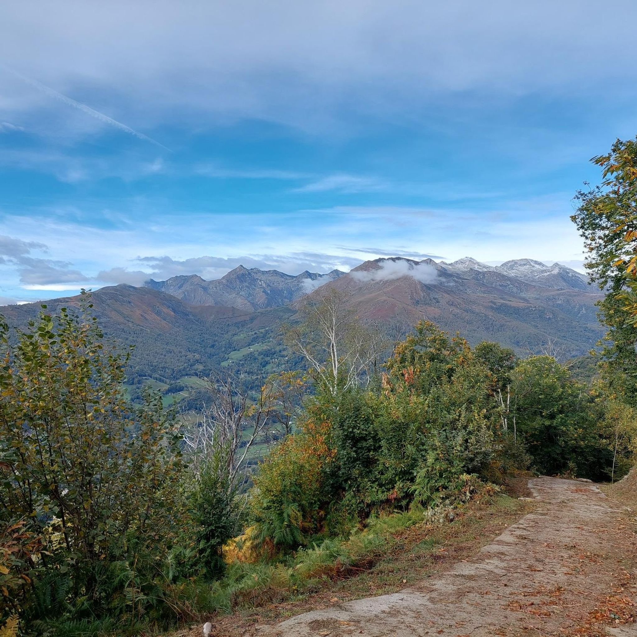
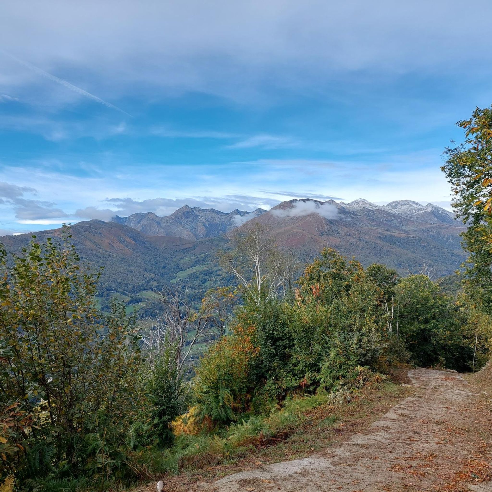

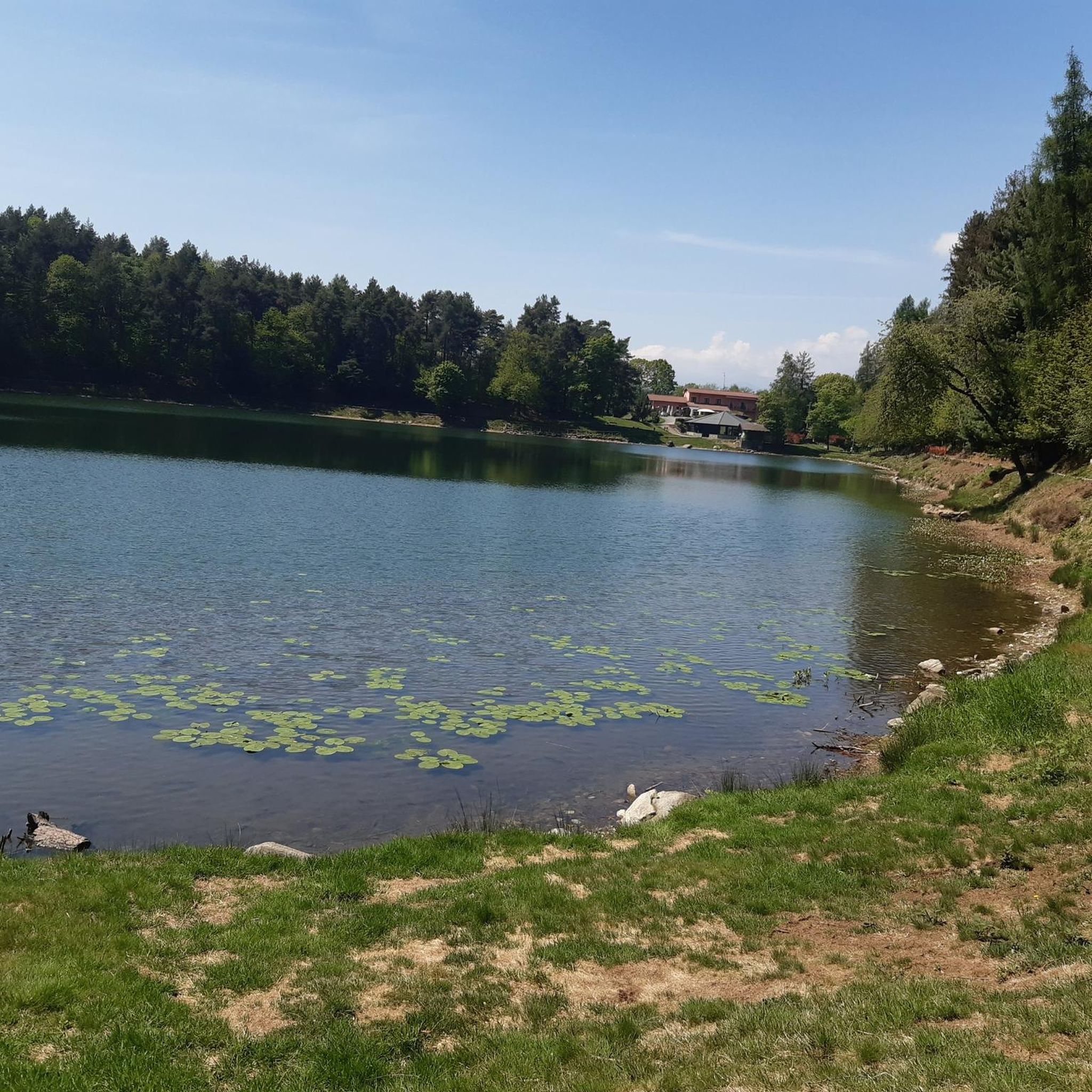
コミュニティからのヒント


In this area we find a votive pylon, and a commemorative monument of an air disaster that occurred on 12 September 1944 in the locality of Colme
0
0
Highest point of a road linking Brosso and Quassolo. Nearby we find a memorial log of an air disaster that occurred on 12 September 1944, and the Cavallaria mountain (or tip) which can be reached in a few minutes.
1
0
A decidedly very panoramic peak on the mountains of the Valle d'Aosta and on the Ivrea area with the lakes of Ivrea clearly visible. There are several access routes, and there is even a comfortable road leading up to the slopes of this peak
0
0

Hill exposed to even strong winds, the hill is located under Punta Cavallaria, from Brosso the road is completely asphalted
1
0

From the church with a panoramic view over the entire Serra Morenica
0
0

komootモバイルアプリでインスピレーションを得よう


さらに探索
他の地域の最高のハイキングを見てみましょう。
