キエザヌオーヴァのおすすめウォーキング&ハイキングルート
4.5
(1047)
5,080
ハイカー
268
ハイキング
キエザヌオーヴァ周辺でのハイキングは、景色を満喫するのに最適な手段のひとつですが、適切なハイキングルートを見つけることは簡単ではありません。 キエザヌオーヴァ周辺の人気ハイキング&ウォーキングコースを参考にすれば、行きたいルートをすぐに見つけられます。
最終更新日: 10月 10, 2026
3.0
(1)
3
ハイカー
13.5km
04:58
810m
820m
中程度のハイキング. ある程度のフィットネスレベルが必要です。 全般的に進みやすいルートです。安定して歩行できる技術が必要です。
8.44km
03:12
570m
570m
CAI-marked trail through Piedmont's hills blending meadows, forests, and traditional villages.

4.93km
01:29
160m
160m
Hike the easy Old San Giacomo Road Trail, a 3.1-mile route with 535 feet of elevation gain, taking about 1 hour and 29 minutes.
4.5
(20)
120
ハイカー
難しいハイキング. 標準以上のフィットネスレベルが必要です。 安定して歩行できる技術、丈夫な靴、高標高地での登山経験が必要です。
4.8
(4)
50
ハイカー
8.49km
03:13
540m
540m
中程度のハイキング. ある程度のフィットネスレベルが必要です。 全般的に進みやすいルートです。安定して歩行できる技術が必要です。
さらに多くのルートや他のユーザーのおすすめ情報を確認できます。
すでにアカウントをお持ちですか?
おすすめのツアーは他のkomootユーザーが実際に経験した何千ものアクティビティに基づいています。
無料アカウントで今日から始めよう
次の冒険が待っています。

コミュニティからのヒント

Croce Quinzeina、Frassinettesiによって1963年8月に建てられ、運ばれました
1
0


Pian del Lupo ideal starting point to reach both Quinseina peaks.
0
0

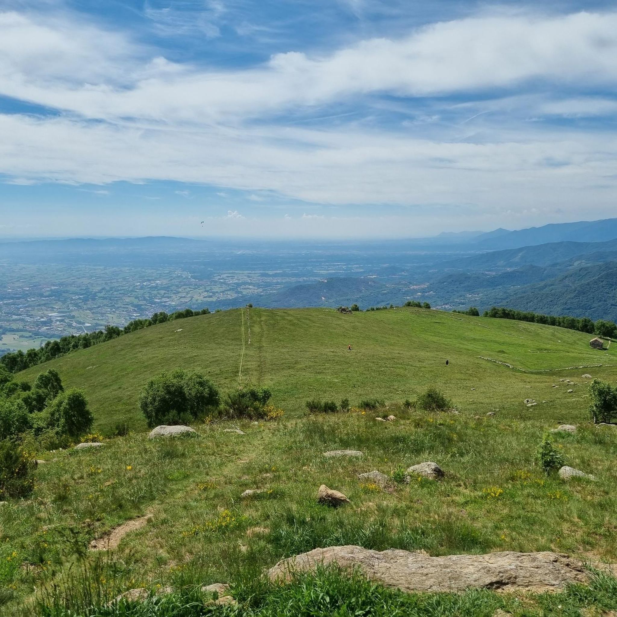
To reach the 2,231 meters of altitude of Punta Quinseina Sud, also known as Punta Quinseina di Santa Elisabetta, you follow a beautiful path which, although not particularly difficult, has quite steep sections, sometimes on stony ground, and starts from Pian del Lupo. If the mists allow it, the panorama from this point is extraordinary, ranging from the Canavese plain to the Alps. However, even more fascinating is the somewhat exposed path along the ridge that leads to the northern tip. Running along the ridge is an amazing experience!
1
0

Along a dirt road that goes from Nava in the direction of Belice, there is this excellent picnic area that can be used
1
0
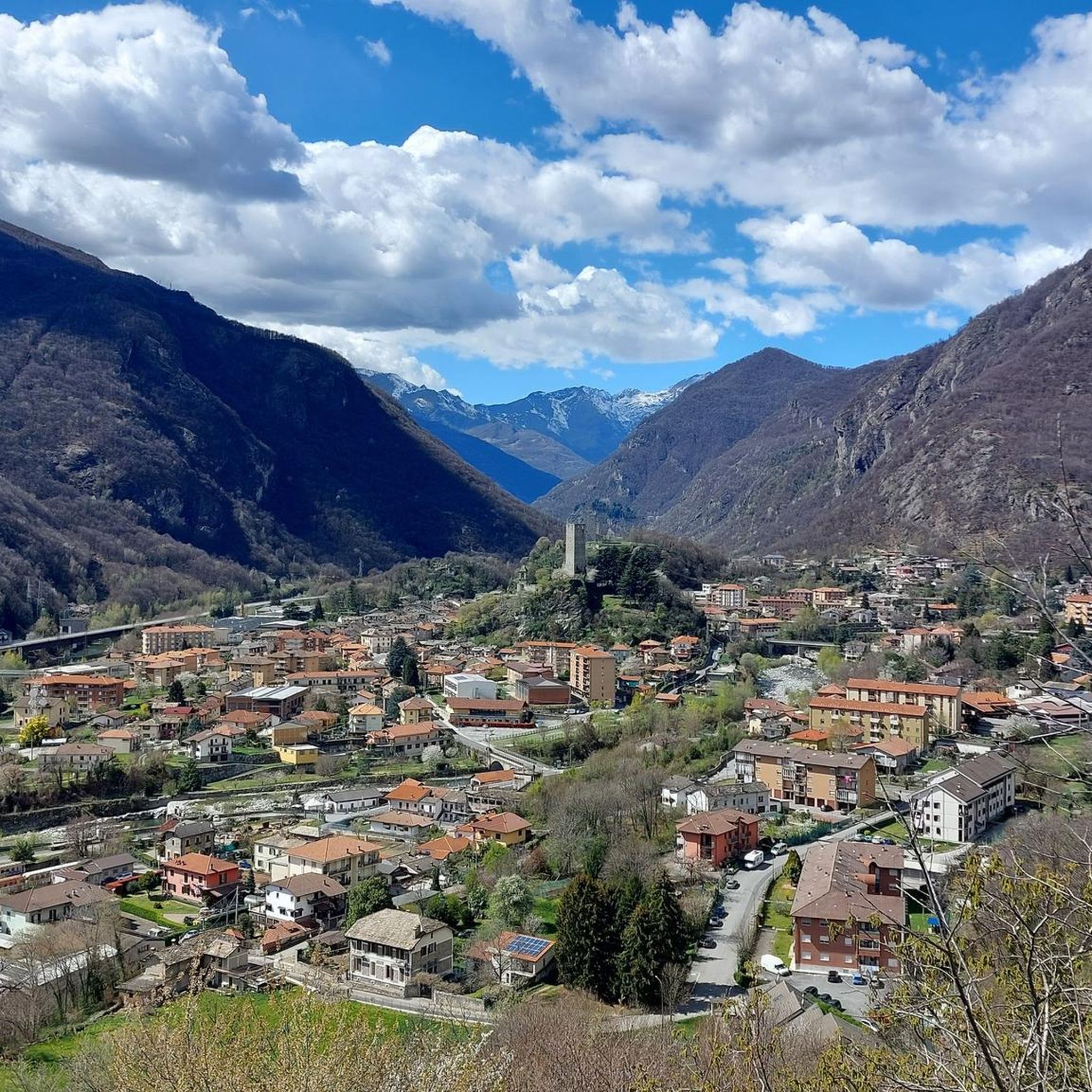
Near the path that goes from Salto in the direction of Belice, we find this excellent point to contemplate the panorama of the Orco valley
0
0

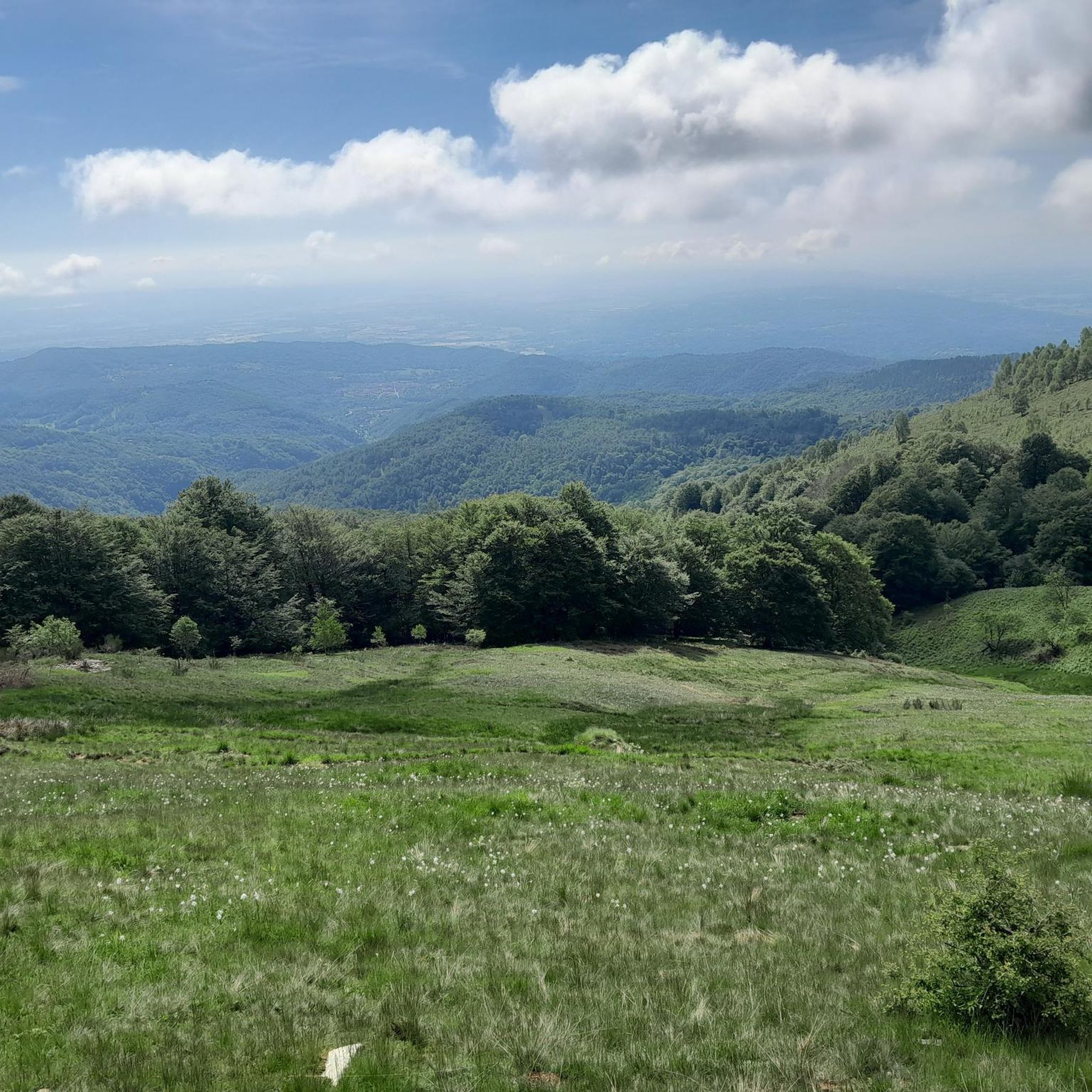
Splendid plain still immersed in the wildest nature
0
0

komootモバイルアプリでインスピレーションを得よう


さらに探索
他の地域の最高のハイキングを見てみましょう。
