サンジェルマーノチゾーネのおすすめウォーキング&ハイキングルート
4.3
(1729)
8,585
ハイカー
539
ハイキング
サンジェルマーノチゾーネ周辺でのハイキングは、景色を満喫するのに最適な手段のひとつですが、適切なハイキングルートを見つけることは簡単ではありません。 サンジェルマーノチゾーネ周辺の人気ハイキング&ウォーキングコースを参考にすれば、行きたいルートをすぐに見つけられます。
最終更新日: 8月 30, 2026
4.0
(7)
24
ハイカー
12.6km
04:19
640m
640m
This moderate 7.8-mile (12.6 km) loop hike in the province of Torino offers varied terrain, alpine views, and historic landmarks.
10
ハイカー
6.37km
02:34
380m
380m
Ridge walk from Rifugio Vaccera to two peaks with 360-degree views over Val Pellice.

無料新規登録
5.0
(2)
6
ハイカー
15.1km
04:37
520m
520m
Historic Waldensian trail through Piedmont countryside, passing a mountain lighthouse and traditional fountains.
4
ハイカー
13.4km
04:05
450m
450m
Hike Trail 031 through the historic Waldensian Valleys from San Bartolomeo, a moderate 8.3-mile route with 1468 feet of elevation gain.
5
ハイカー
8.09km
02:42
320m
320m
Hike the moderate Chisone Oasis and Sagna Loop, a 5.0-mile (8.1 km) route through diverse landscapes in Val Chisone, Italy.
さらに多くのルートや他のユーザーのおすすめ情報を確認できます。
無料新規登録
すでにアカウントをお持ちですか?
おすすめのツアーは他のkomootユーザーが実際に経験した何千ものアクティビティに基づいています。
無料アカウントで今日から始めよう
次の冒険が待っています。
ログインまたは登録


コミュニティからのヒント


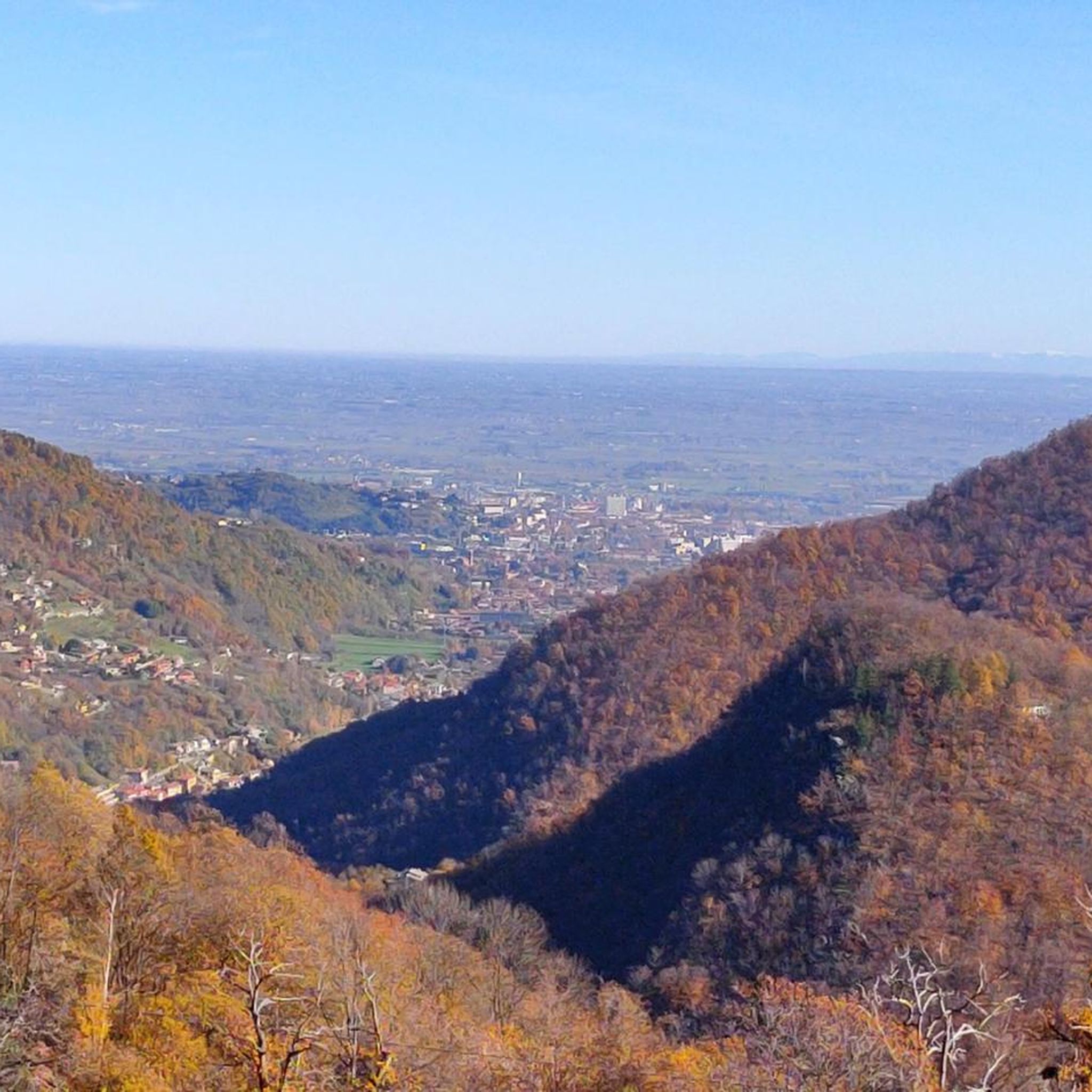
展望スポットに到着するには、サン・ベネデット礼拝堂を過ぎて進んでください。道は分岐点まで続きます。そこが展望スポットです。
0
0


Alpine fountain at the end of the descent, an excellent place to fill up on water
0
0

The summit is surrounded by large green meadows where you can lie down, and you can reach it on the ridge line passing by Mount Servin, or from the dirt road below and then follow the path until you reach it. It has no summit cross or identification sign.
2
0

Mine that was active until 1966 and was used for the extraction of graphite. It was restored in 1998 in memory of a partisan and miner who lived here to escape persecution. On the commemorative plaque, with the words embossed on a mirror, you can read the full story. Beyond the padlocked gate, you notice a cart for transporting material, with safety helmets.
1
0
サンジェルマーノチゾーネでのの人気観光スポット

komootモバイルアプリでインスピレーションを得よう


さらに探索
他の地域の最高のハイキングを見てみましょう。
