トラヴェルセッラのおすすめウォーキング&ハイキングルート
4.4
(562)
2,361
ハイカー
45
ハイキング
トラヴェルセッラ周辺でのハイキングは、景色を満喫するのに最適な手段のひとつですが、適切なハイキングルートを見つけることは簡単ではありません。 トラヴェルセッラ周辺の人気ハイキング&ウォーキングコースを参考にすれば、行きたいルートをすぐに見つけられます。
最終更新日: 9月 13, 2026
4.8
(11)
50
ハイカー
17.9km
07:50
1,310m
1,310m
Hike the challenging 11.1-mile GTA: Fondo to Piamprato Trail, gaining 4285 feet through alpine meadows and historic passes.
4.0
(1)
20
ハイカー
6.90km
02:54
360m
360m
Ancient trail through Valchiusella forests revealing 136 prehistoric petroglyphs and mystical legends of wandering souls.

4.7
(3)
28
ハイカー
14.3km
07:25
1,280m
1,290m
Hike the difficult 8.9-mile Historic mining trail to Colle di Pian Spergiurati (via Route 719), gaining 4211 feet in the Julian Prealps.
3.0
(2)
17
ハイカー
13.2km
04:31
660m
660m
Historic trail linking ancient stone hamlets where mountain communities once thrived in remote alpine valleys.
4.7
(3)
30
ハイカー
6.59km
02:40
280m
280m
Hike the moderate 4.1-mile (6.6 km) Forest trail to Cappia village (via Trail 730) in Valchiusella, featuring forests, rock carvings, and bi
さらに多くのルートや他のユーザーのおすすめ情報を確認できます。
すでにアカウントをお持ちですか?
おすすめのツアーは他のkomootユーザーが実際に経験した何千ものアクティビティに基づいています。
無料アカウントで今日から始めよう
次の冒険が待っています。



コミュニティからのヒント


Very beautiful path, well-kept and well-marked, perfect rock gym, always well-kept and top refuge for lunch break 🙏🏼
0
0

A hamlet not far from Fondo on Via dei Cantoni. Some houses have been renovated and are habitable. From here you can admire the Fondo waterfall.
1
0
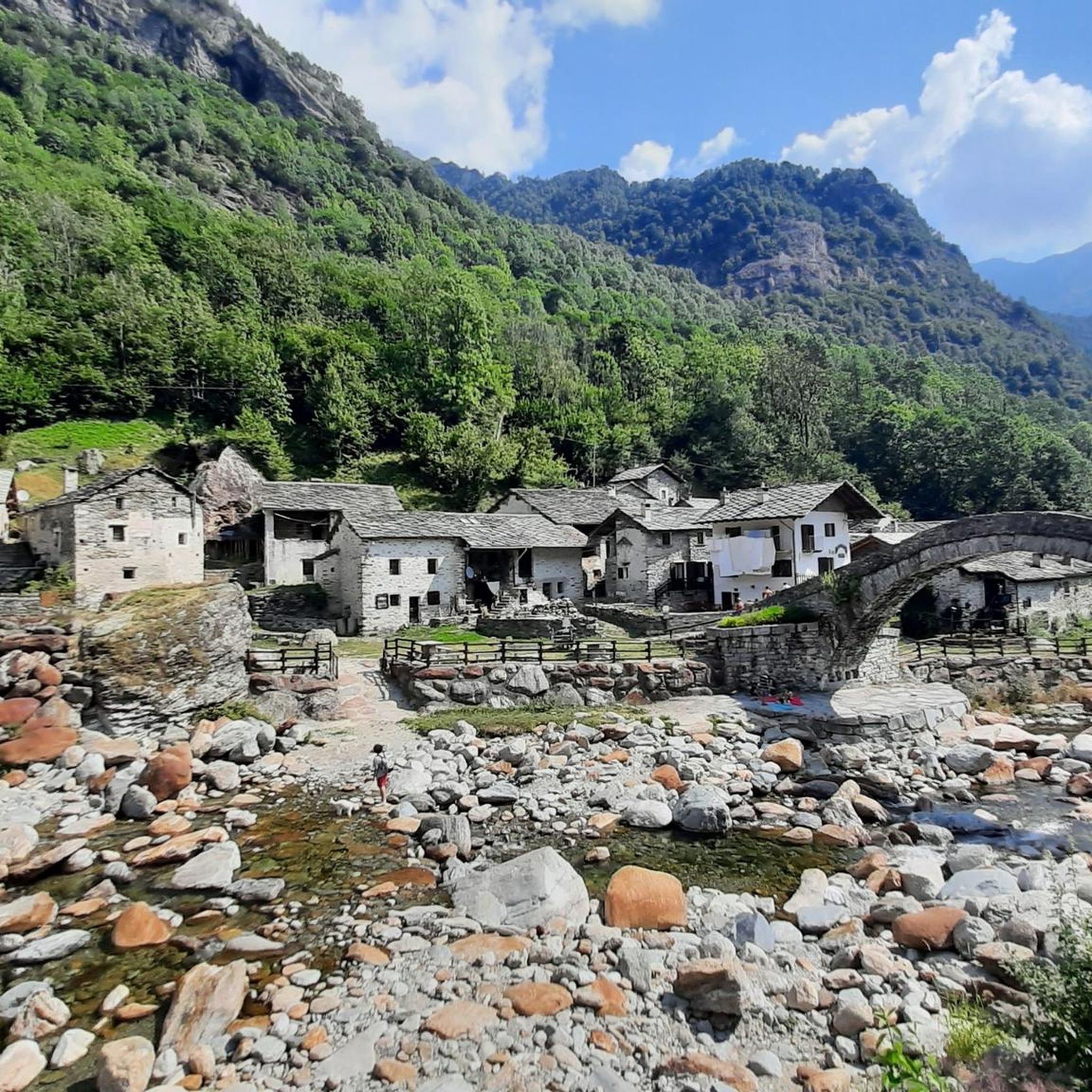
Typical Roman stone bridge near Mulino di Chiara that allows you to cross the Chiusella.
0
0

Beautiful Valchiusella Bridge, similar to the Devil's Bridge of Lanzo Torinese
1
0
Last location in Valchiusella accessible by car
0
0

komootモバイルアプリでインスピレーションを得よう


さらに探索
他の地域の最高のハイキングを見てみましょう。
