シェーンベックのおすすめライド
4.6
(363)
3,288
ライダー
315
ライド
シェーンベック周辺のロードサイクリングコースは、数多くの湖、森、緩やかな地形が特徴のヴェストエンゼ自然公園内に位置しています。この地域には、ビステンゼー、フルレンゼー、アインフェルダーゼーなどの湖が点在し、サイクリングに風光明媚な背景を提供します。地形は、氷河の歴史によって形成された平坦で緩やかに起伏する区間が混在しており、極端な登りを避けたいロードサイクリストにとって快適なライドに適しています。グローセ・ムーアのようなユニークな湿地帯や氾濫原の景観も、サイクリングに穏やかな環境を提供します。
シェーンベック周辺のベストロードサイクリングコース
- 最も人気のあるロードサイクリングコースは、アインフェルト発ロードバイクループです。このコースは20.9マイル(33.6km)で、所要時間は1時間24分です。地元の湖の風景を楽しむことができます。
- 地元ロードサイクリストに人気のもう一つのコースは、アインフェルト発ブーストターベルク – クラインクンマーフェルト近郊の菜の花畑ループです。このコースは32.0マイル(51.6km)の中程度の難易度で、開けた野原や緩やかな上り坂など、変化に富んだ地形が特徴です。
- 地元ロードサイクリストに愛されているもう一つのコースは、アインフェルト発風光明媚な田舎道ループです。このコースは24.7マイル(39.7km)で、田園地帯や湖水地方を通り抜け、所要時間は約1時間36分です。
- シェーンベック周辺のロードサイクリングは、数多くの湖、静かな森、ユニークな湿地の景観が特徴です。このネットワークは、簡単なループから中程度の距離まで、さまざまなレベルのサイクリストに対応するオプションを提供しています。
- シェーンベックのコースは、komootコミュニティから高く評価されており、280件以上のレビューで平均4.7つ星を獲得しています。3,000人以上のロードサイクリストがkomootを利用して、シェーンベックの多様な地形を探索しました。
最終更新日: 8月 20, 2026
4.7
(7)
79
ライダー
51.6km
02:03
120m
120m
中程度のロードライド. ある程度のフィットネスレベルが必要です。 ツアーの一部に、未舗装のため走行が難しい箇所があるかもしれません。
5.0
(4)
42
ライダー
33.6km
01:24
90m
90m
初級者向けロードバイクライド. あらゆるフィットネスレベルに適しています。 全般的に舗装状態が良好で走行しやすい道です。

無料新規登録
3.7
(10)
30
ライダー
39.7km
01:35
90m
90m
初級者向けロードバイクライド. あらゆるフィットネスレベルに適しています。 全般的に舗装状態が良好で走行しやすい道です。
5.0
(1)
21
ライダー
19.5km
00:48
100m
100m
初級者向けロードバイクライド. あらゆるフィットネスレベルに適しています。 全般的に舗装状態が良好で走行しやすい道です。
5.0
(4)
21
ライダー
28.1km
01:07
60m
60m
初級者向けロードバイクライド. あらゆるフィットネスレベルに適しています。 全般的に舗装状態が良好で走行しやすい道です。
さらに多くのルートや他のユーザーのおすすめ情報を確認できます。
無料新規登録
すでにアカウントをお持ちですか?
おすすめのツアーは他のkomootユーザーが実際に経験した何千ものアクティビティに基づいています。
無料アカウントで今日から始めよう
次の冒険が待っています。
ログインまたは登録

コミュニティからのヒント

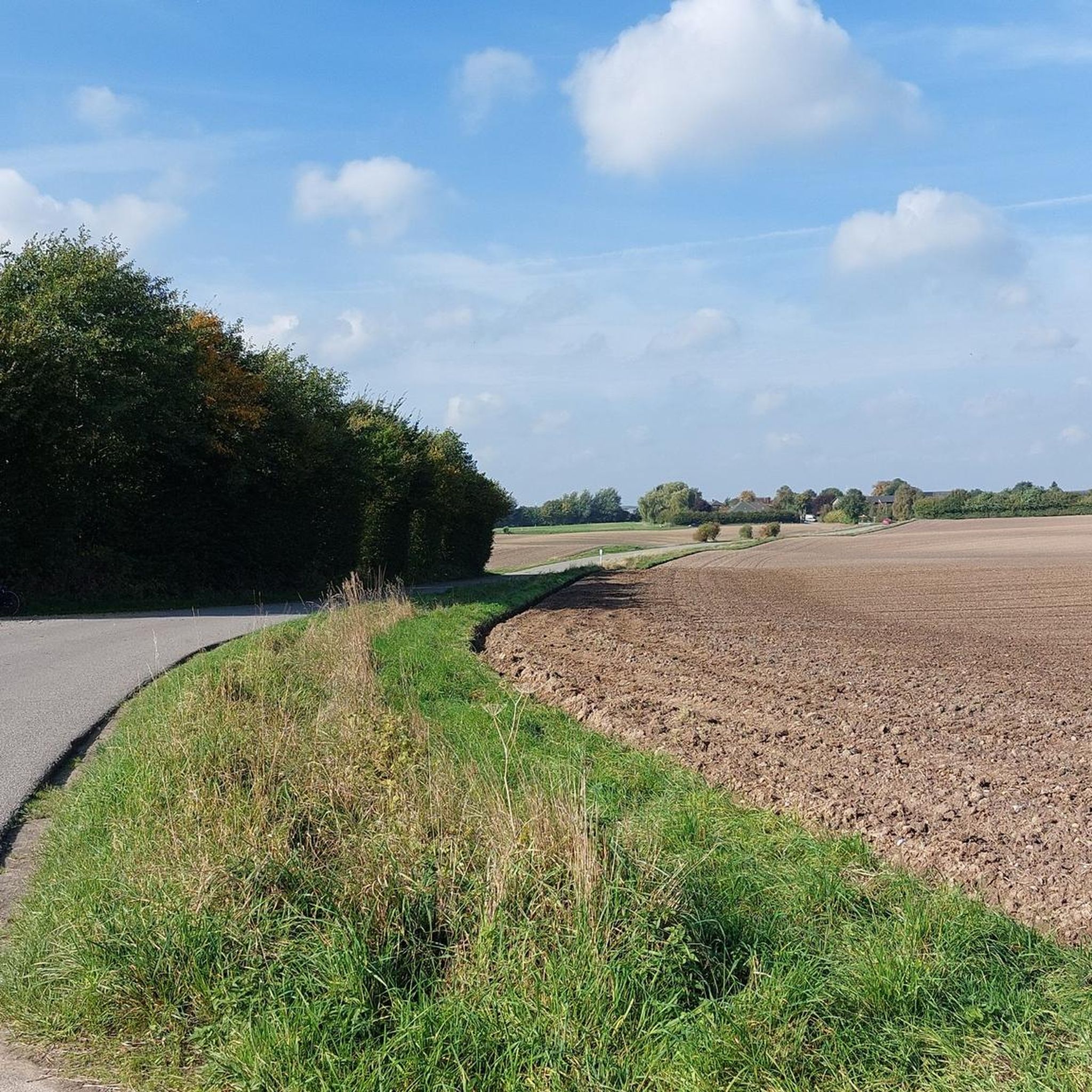
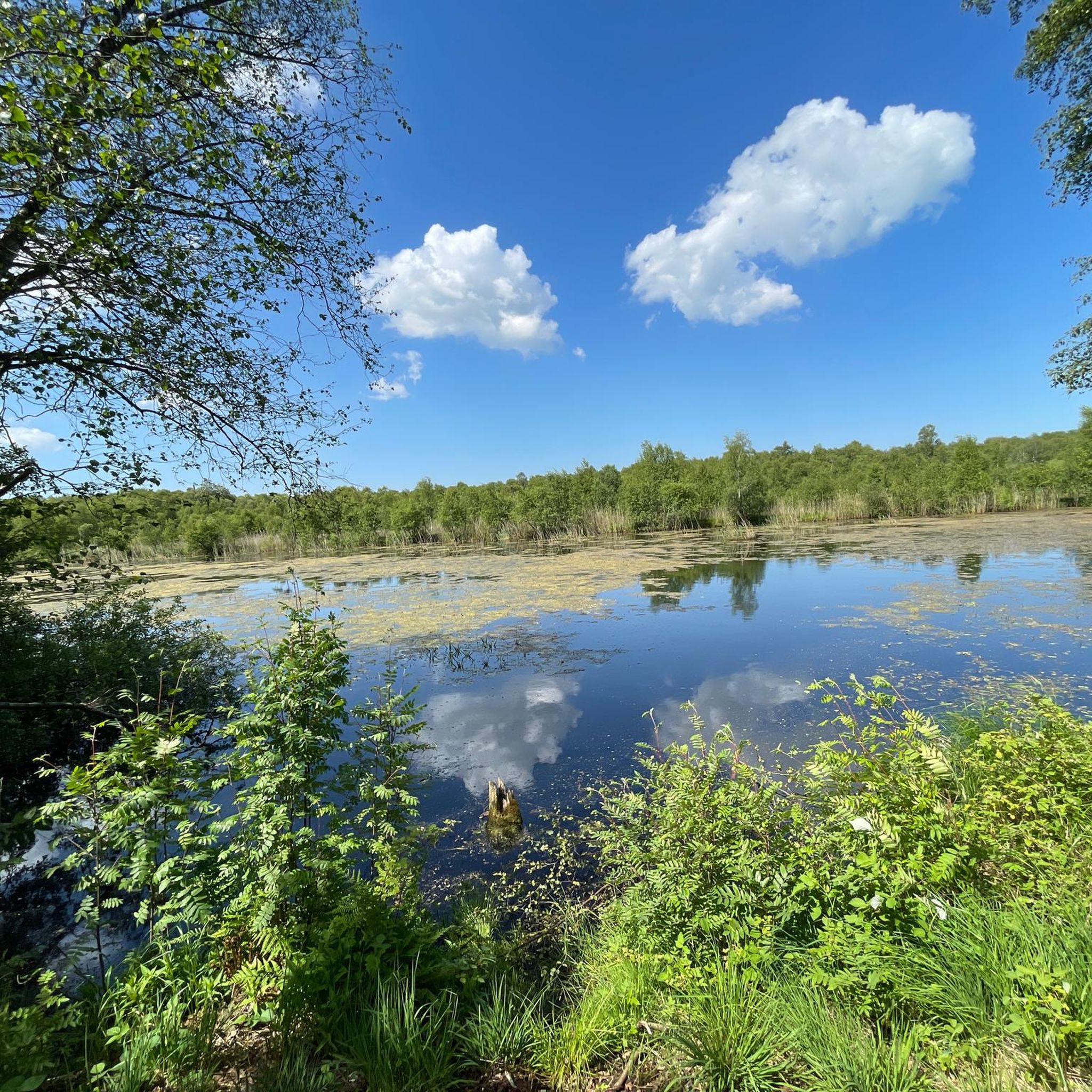
The entrance is on Einfelder Straße on the route between Großharrie and Einfeld. The route runs along the Dosenbek River. On one side is the moor, and on the other, meadows and fields. From the path that runs around the outside of the moor, several paths lead into the moor or into the Wattenbek woods. In bad, especially rainy, weather, this path can sometimes be flooded or very muddy.
0
0

Beautiful side route via Ziegelhof towards Hoffeld
0
0

The circular walk around Lake Einfeld is about 8 km long and takes you around the lake on a well-developed path. The route is flat and easy to walk, ideal for walkers, joggers and cyclists.
3
0
Formation of the lake The last ice age ended around 20,000 years ago. The melting glaciers left so-called dead ice lenses in many depressions in the landscape. This formed lakes such as the Einfelder See. [from: Seepunkte, 1.]
2
0
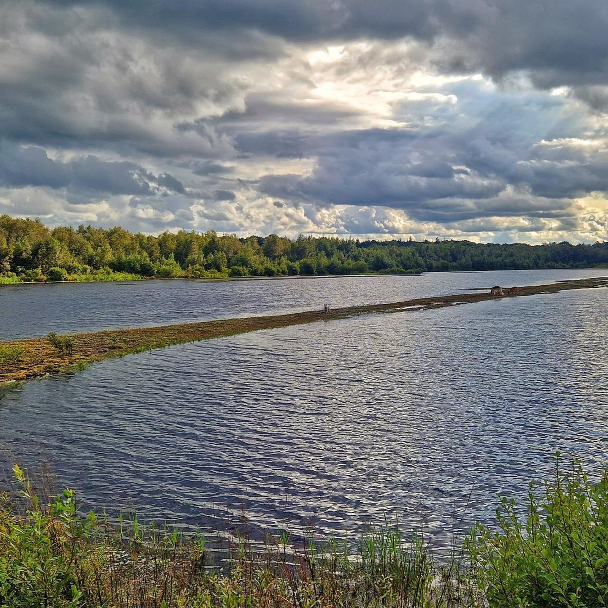
This view is so beautiful because you can see the lake along its 3 km long axis.
2
0

The Einfelder See was created as a "river lake without inflow or outflow" at the end of the last 🧊 Ice Age around 20,000 years ago. Einfeld has been a district of Neumünster since 1970. However, the lake came into the city's possession much earlier as an exchange object for military installations. Today, the inland lake with its scenic location between hilly country and the Vorgeest is a local recreation area and very popular with 🏄♂️ water sports enthusiasts.
4
0

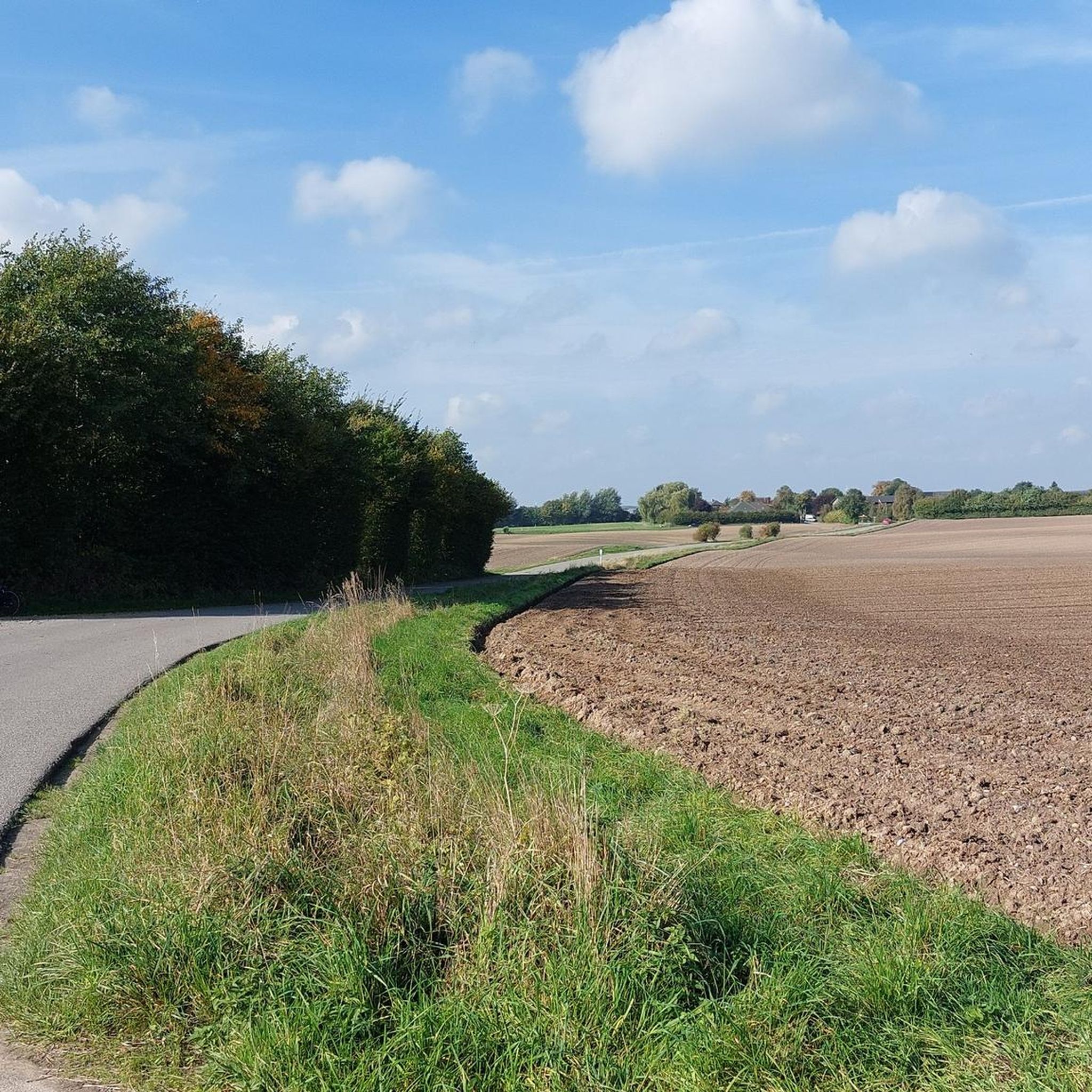
If you drive up from the roundabout in Boosted, you have a 1.5 km long uphill stretch, then after the uphill stretch, turn right out of Latendorfer and go uphill again. Nice training opportunity with altitude gain💪😜
2
0

There is a radar tower on the 92 m high Schwienhagen mountain
0
0
シェーンベックでのの人気観光スポット

komootモバイルアプリでインスピレーションを得よう


さらに探索
他の地域の最高のロードサイクリングルートを見てみましょう。
