ゲンナルゲントゥ国立公園周辺のアトラクション&必見スポット - トップ20
ゲンナルゲントゥ国立公園には必見のスポットがたくさんあります。ハイキング愛好家やサイクリング愛好家の方は、ぜひゲンナルゲントゥ国立公園を探索してこのエリアにある20
の隠れたスポットを訪れてみてください。このエリアの必見スポットを確認し、次の冒険に出かける計画を立てましょう。
最終更新日: 8月 29, 2026
ゴロプー渓谷
ハイライト • 渓谷
翻訳者 Google •
役立つ情報 は

プンタ・ラ・マルモラ山頂
ハイライト • 山頂
翻訳者 Google •
役立つ情報 は

今すぐサインアップして、こんな場所を発見しよう
最高のシングルトラック、ピーク、その他のエキサイティングなアウトドアスポットのおすすめを受け取ろう。
無料新規登録
カラ・ルナ
ハイライト • ビーチ
翻訳者 Google •
役立つ情報 は

ゴロッポ渓谷トレイル
ハイライト (セグメント) • トレイル
翻訳者 Google •
役立つ情報 は

ペドラ・ロンガの岩石群
ハイライト (セグメント) • 自然記念物
翻訳者 Google •
役立つ情報 は

無料でサインアップして、さらに多くの観光スポットを発見しましょう ゲンナルゲントゥ国立公園での。
無料新規登録
すでにアカウントをお持ちですか?
無料アカウントで今日から始めよう
次の冒険が待っています。
ログインまたは登録
ゲンナルゲントゥ国立公園周辺で人気
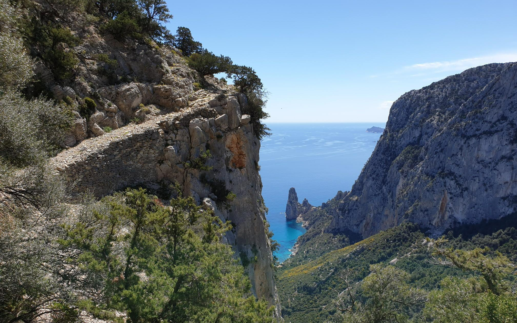
ワイルド・ブルー - 崖の上の冒険
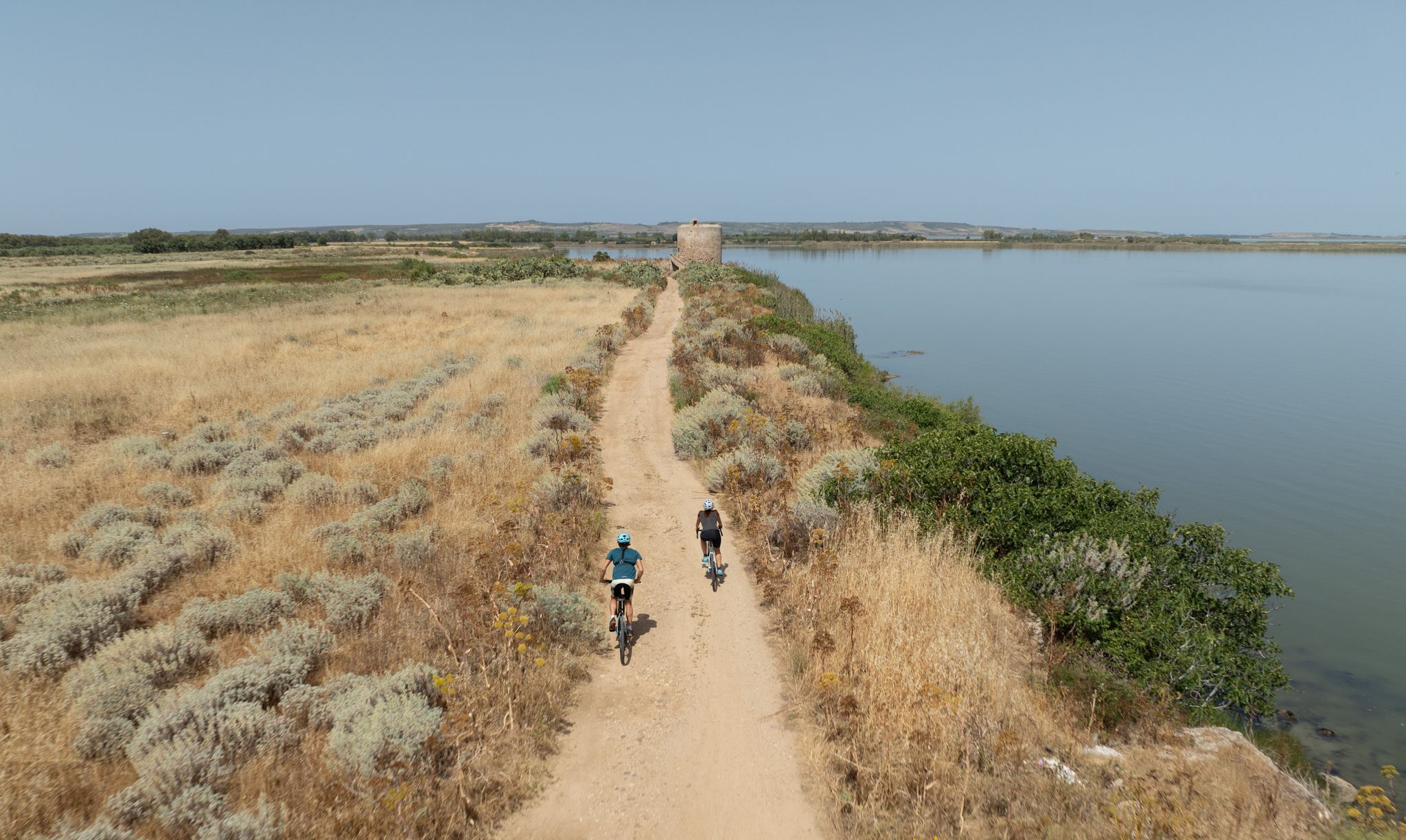
Discover wild Sardinia – 10 superb MTB Tours
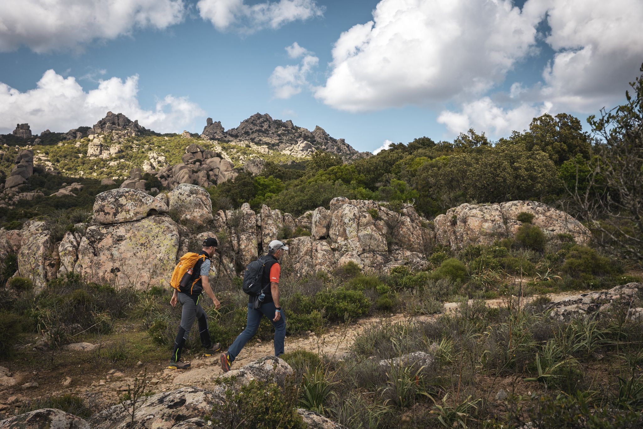
Eternal Sardinia – walks among the wonders of the hinterland
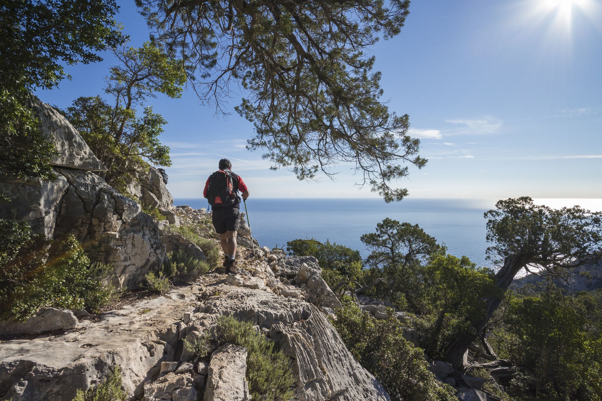
Magnificent Sardinia – day hikes overlooking the sea
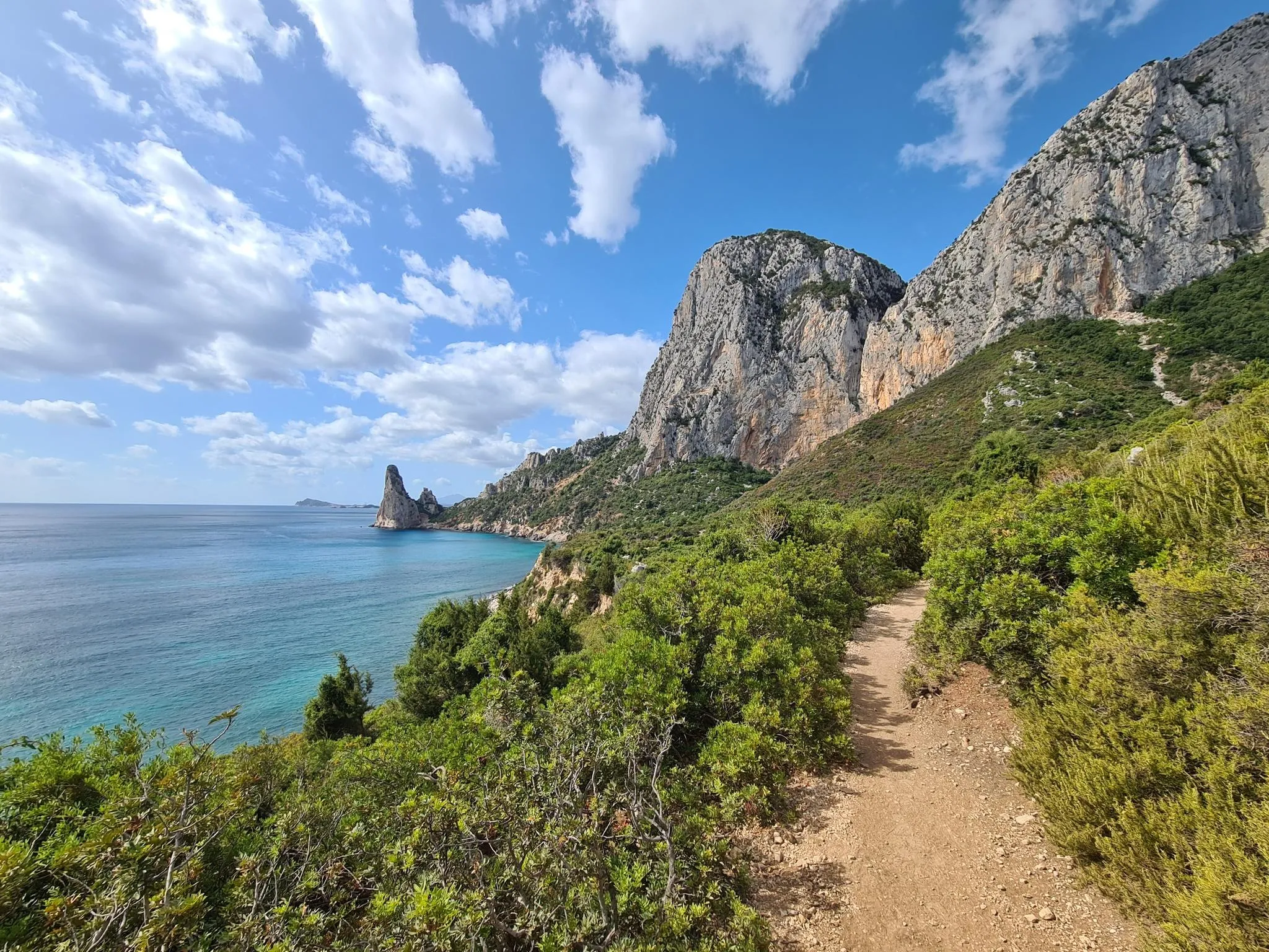
Via Ogliastra – Cammino 100 Torriでサルデニアを発見せよ
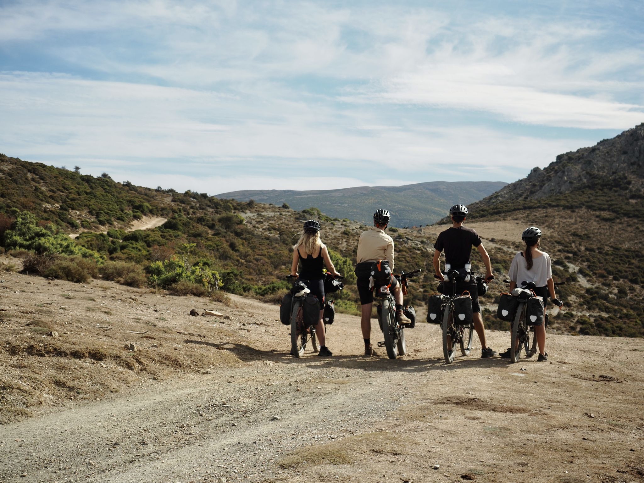
トランスサルデニアをバイクパッキング - 静かなイタリアの島の生活
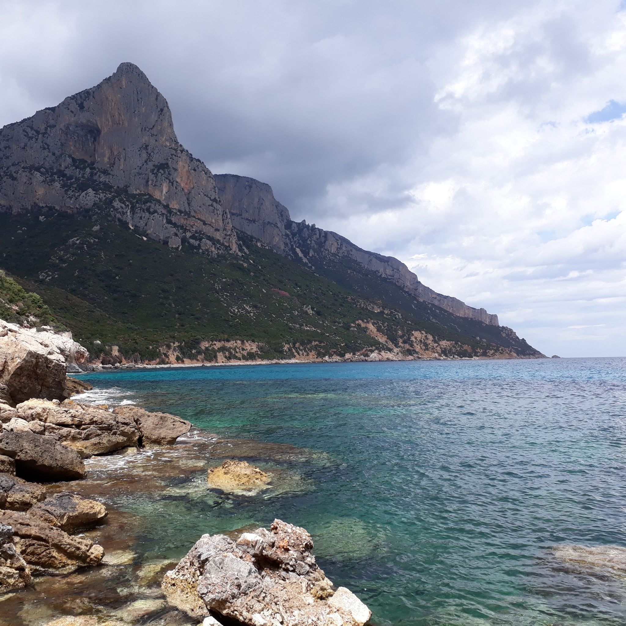
ゲンナルゲントゥ国立公園でのハイキング
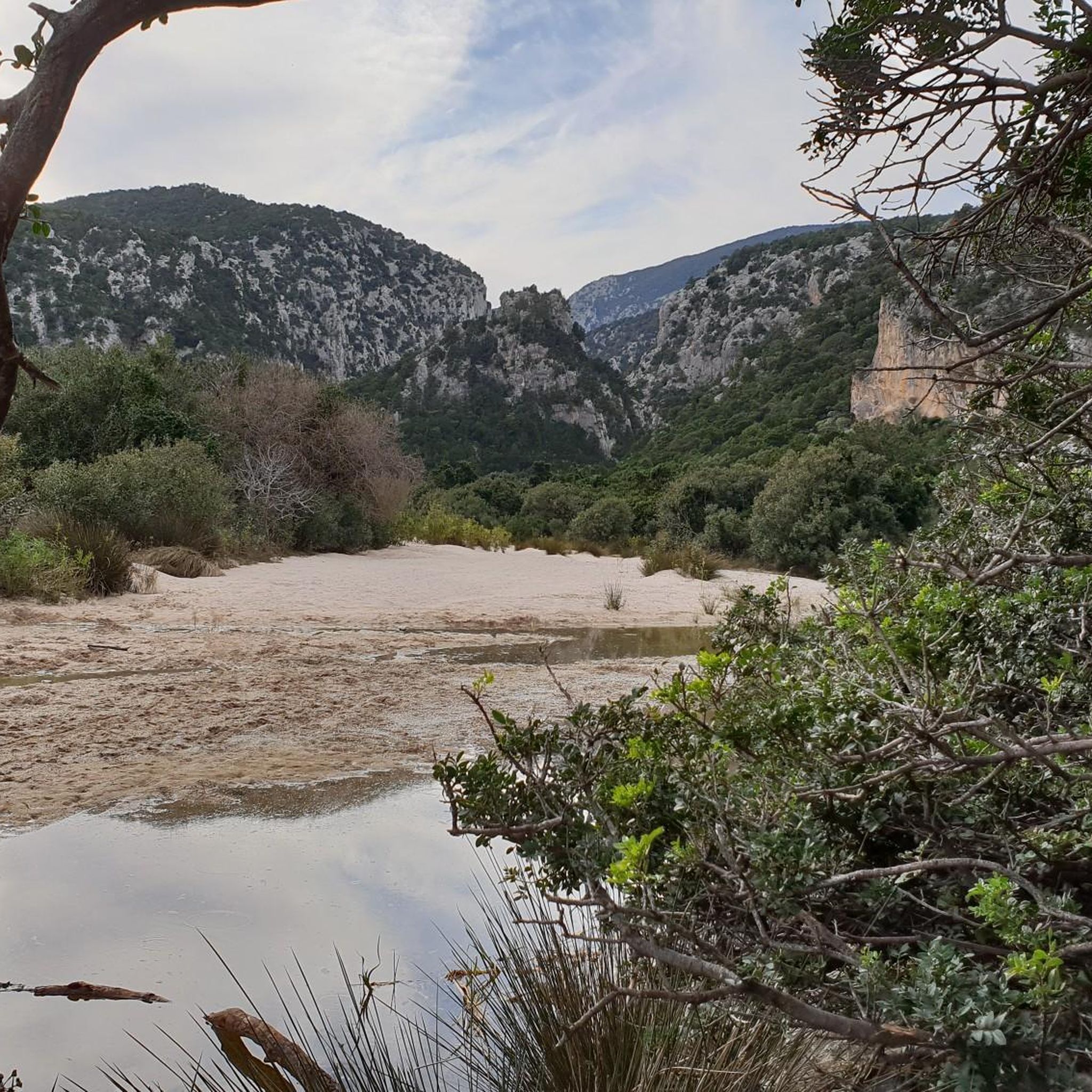
ゲンナルゲントゥ国立公園のランニングコース
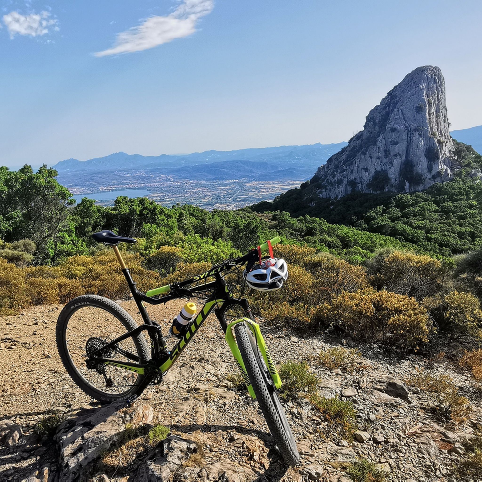
ゲンナルゲントゥ国立公園のMTBトレイル
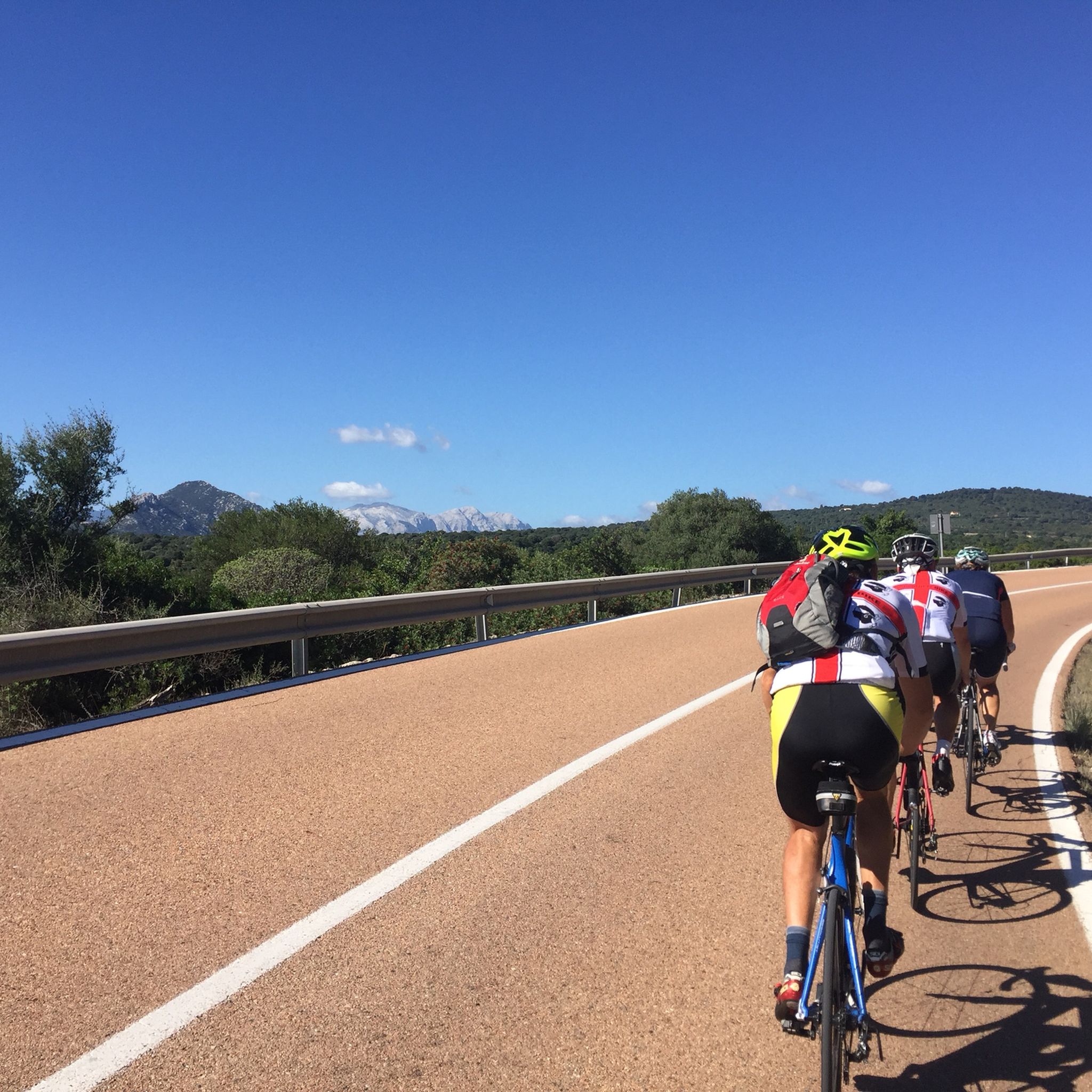
ゲンナルゲントゥ国立公園のロードバイクルート
ゲンナルゲントゥ国立公園でのの他の冒険


コミュニティからのヒント

Cala Luna is an enchanting bay and an estuary very frequented by summer maritime traffic. It is absolutely worth a visit, as it represents a true pearl of the Mediterranean with its light sand, turquoise water, numerous small caves and almost white rocks. It can be reached either on foot or by boat. The beauty of this bay is beyond compare. Here you can find shelter in the shade of one of the numerous caves or immerse yourself in the crystal clear waters, a true treasure of Sardinia. At the end of the bay, an oasis invites you to stop for a snack in the kiosk or for a picnic. Also watch out for bold goats grazing on the steep slopes! If the walk back seems too challenging, you can always take a boat back to Cala Gonone or Cala Fuili.
4
11

With an all-mountain mountain bike you can do almost everything on the bike, both uphill and downhill
1
0

Imagine standing on the highest point in Sardinia, Punta La Marmora, and your gaze sweeps over the entire island. On a clear day you can even see the silhouettes of Corsica on the horizon. You can put this experience into practice by hiking to the summit of this 1,834 meter high elevation. Ideally, start your tour in the parking area at Rifugio Sa Crista or Rifugio S’Arena near Desulo. The route is not short at 15.5 kilometers, but it rewards you with an incredible variety of landscapes. Within a walking time of three and a half to four and a half hours, you will cross picturesque forests, pass flowering meadows and hike across impressive boulder and craggy terrain. Among other things, it goes over the summits of Bruncu Spina and Punta Paulinu. As you climb from Bruncu Spina towards Punta La Marmora, a huge summit cross might lead you astray. But don't be fooled, because the true summit is only reached when you reach the small rock pyramid that marks the top of La Marmora. The peak itself was named after the general and scientist Alberto Ferrero della Marmora, who described Sardinia in detail in his works. His love for the island will become clear to you at the summit when you enjoy the breathtaking view. You should be well prepared for this hike. This means: Sturdy hiking boots, enough water and sun protection should be in your luggage. If you need refreshment in between, you can stop off in the towns of Desulo or Fonni. The months from June to September are ideal for the tour. But Punta La Marmora is actually a year-round hiking destination for everyone who is looking for something special. Ready for this adventure? Then lace up your hiking boots and experience Sardinia at its best!
5
2

Climbing to Punta La Marmora from Bruncu Spina you first reach the pre-summit, which is misleading with its enormous summit cross. To reach the highest peak in Sardinia, you need to continue further south until you reach a small rock pyramid. This marks La Marmora's peak share of 1,833.
3
2
Punta La Marmora, which rises 1,834 meters above sea level, is the highest peak in Sardinia. It is located in the Gennargentu massif. A cross crowns the top of this magnificent place. Running up here isn't difficult, except for some occasionally steep sections. It's not very technical; you just have to be fit. The breathtaking views make it truly extraordinary. You can see up to the lake of the upper Flumendosa, Perda Liana and Arbatax, if the fog allows it, and on the other side you can range up to Oristano. It's incredible.
1
0

Beautiful downhill path from the Ghenna pass to the canyon. Easy to walk and suitable for everyone, however it is advisable to do it with footwear suitable for the mountains and not with sneakers. Not suitable for MTBs
4
0

Punta La Marmora (Perdas Carpìas in the Sardinian language), with its 1,834 meters is the highest peak in Sardinia. The peak bears the name of the general and scientist Alberto Ferrero della Marmora, who described the island in two scientific-literary works; Voyage en Sardaigne, from 1826 and Itinéraire de l'île de Sardaigne, from 1860.
3
2
The Gorropu Gorge or Gorroppu is considered the deepest and most spectacular canyon in Europe. It is located in Supramonte, Sardinia, between Orgosolo and Urzulei. The gorge was slowly carved out by the water of the Rio Flumineddu. The walls of the canyon reach 500 meters in height.
11
12
ゲンナルゲントゥ国立公園でのの人気ルート
ゲンナルゲントゥ国立公園でのの人気観光スポット

komootモバイルアプリでインスピレーションを得よう


さらに探索
まだ探しているハイライトが見つかりませんか?他の地域のトップアトラクションのガイドを見てみましょう:
