ヌオロ/ヌオロ周辺のアトラクション&必見スポット - トップ20
ヌオロ/ヌオロには必見のスポットがたくさんあります。ハイキング愛好家やサイクリング愛好家の方は、ぜひヌオロ/ヌオロを探索してこのエリアにある20
の隠れたスポットを訪れてみてください。このエリアの必見スポットを確認し、次の冒険に出かける計画を立てましょう。
最終更新日: 10月 10, 2026
モンテ・コッラーシ山頂
ハイライト • 山頂
From here, at 1,463 meters above …
翻訳者 Google •
役立つ情報 は

オルゴソロの壁画
ハイライト • 記念碑
翻訳者 Google •
役立つ情報 は

今すぐサインアップして、こんな場所を発見しよう
最高のシングルトラック、ピーク、その他のエキサイティングなアウトドアスポットのおすすめを受け取ろう。
モンテ・オルトベーネのキリスト救世主像
ハイライト • 記念碑
Source: it.wikipedia.org/wiki/Monte_Ortobene
翻訳者 Google •
役立つ情報 は

ス・テンピエスの聖なる井戸
ハイライト • 歴史的な場所
翻訳者 Google •
役立つ情報 は

プンタ・ソス・ニドス
ハイライト • 山頂
翻訳者 Google •
役立つ情報 は

無料でサインアップして、さらに多くの観光スポットを発見しましょう ヌオロ/ヌオロでの。
すでにアカウントをお持ちですか?
無料アカウントで今日から始めよう
次の冒険が待っています。

コミュニティからのヒント

スプラモンテ山塊全体で最もやりがいがあり、最も混雑していない頂の一つ、プンタ・ソス・ニドスは、むき出しのカルスト石灰岩、古代のジュニパー、そして静寂の風景の中に、オリエナ高原の上にそびえ立っています。 アプローチはかなりの区間が未整備です — これは経験、良好なナビゲーションスキル、そして確かな冒険心に報いる、真のオフ・トレイル(道なき道)の地形です。 頂上の高原は、サルデーニャで最も素晴らしいものの一つに数えられる360°のパノラマに開けています:東にはゴルフォ・ディ・オロゼーとティレニア海。西にはモンテ・コラッシとジェンナルジェントゥ山脈のシルエット。眼下には、ヴァッレ・ディ・ラナイットの深い緑の樹冠とゴッロッポの渓谷があります。晴れた日には、タヴォラーラ島からシニス半島まで見渡せます。 地形は岩が多く、険しく、慎重なルートファインディングが必要です。頂上への標識された道はありません — GPSトラッキングを強くお勧めします。この地域はゴルフォ・ディ・オロゼー・エ・デル・ジェンナルジェントゥ国立公園内にあります:出発前に現在のアクセス規制を確認してください。
0
0

After a great tour you will be rewarded with a fantastic view.
0
0

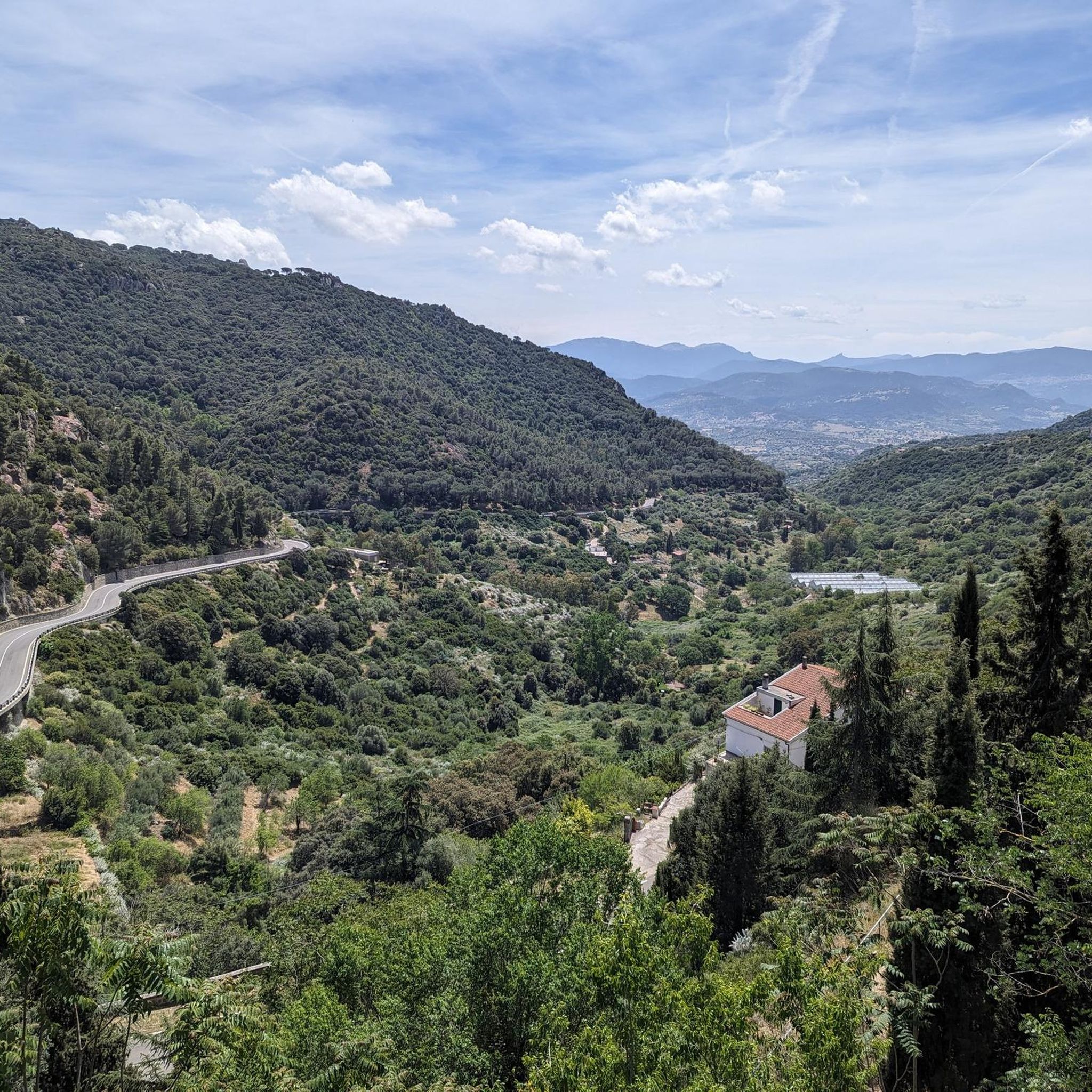
Feels like 100 curves to the top
0
0

The statue of the Redeemer is a bronze work placed on a peak of Mount Ortobene near Nuoro, at a height of 925 metres above sea level.
0
0

At the top of Monte ORTOBENE, hikers will not find a classic summit cross, as is the case with many mountain ridges. Instead, there is a statue of the "Christo Redentore". Jesus Christ, the Savior and Redeemer, appears to be floating above the mountain as the resurrected one, as his feet no longer touch the ground. The cross held in one hand is therefore no longer a sign of death, but has become a symbol of the overcoming of sin and death. The artist of the statue has succeeded in portraying this Christian belief in a relaxed elegance.
3
0

Mount Corrasi, the highest peak of the vast and wild Supramonte, is characterized by sheer limestone walls, towers, white spiers, caves and large plateaus. From here, at 1,463 meters above sea level, the spectacular views offer a 360 degree panorama that embraces Nuoro, Orgosolo, Dorgali, the coast of Cala Gonone and the Gennargentu.
5
0

The somewhat exposed summit offers not only enough space to take a break but also a comprehensive panoramic view over the sea in the Gulf of Orosei to the other mountains of the Supramonte.
2
1

One of the most important and complete testimonies that the Nuragic culture has left us. Su Tempiesu is a fountain temple dedicated to the worship of water deities and was built using the Opus Isodomum technique with perfectly crafted trachyte and basalt blocks. The origin dates back to the Late Bronze Age (13th century BC) and was frequented until the beginning of the Iron Age (4th century BC). Discovered in 1953, the site is located on a rock face where spring water flows and supplies the holy well with water. Su Tempiesu is the only remaining original evidence of a covered, hilltop sacred well structure. The temple is about seven meters high and consists of a vestibule, a staircase and a chamber that protects the source of the spring water. The vestibule is square with a slightly sloping floor and projecting walls and is made of panels that form a narrow pointed arch. There are two counter seats at the base of the side walls, while the small offering cabinets are positioned in the brickwork. The back wall leads to an outward-facing, curved staircase. Four steps lead to a small room with a tholos (false dome) and paved floor and a decantation pit in the middle. The roof is exceptional: it is a double-pitched roof with double-shaped eaves. It culminates in a triangular tympanum. On top of it rested an acroterion (ashlar stone in the shape of a truncated pyramid), which carried twenty bronze swords decorated with votive motifs and with holes carved into them. In addition, numerous ex-voto bronzes were found: daggers, hatpins, pendants, bracelets, rings, necklace beads, pins and, above all, small statues of offerings, warriors, characters with capes and commander's staff. Other offerings were stored in chambers created from depressions in the rock. During flood periods, the overflowing water flows through a small canal dug into the floor of the vestibule and is channeled into a second small fountain, a smaller replica of the first. The small fountain is built at the foot of an outer curved enclosure and has a small channel with a finely crafted stalactite. There is a small arch above it, while at the bottom there is a small pit for decanting. Source: https://www.sardegnaturismo.it/en/explore/su-tempiesu
0
0
ヌオロ/ヌオロでのの人気観光スポット

komootモバイルアプリでインスピレーションを得よう


さらに探索
まだ探しているハイライトが見つかりませんか?他の地域のトップアトラクションのガイドを見てみましょう:
