オーベルンキルヒェンのおすすめウォーキング&ハイキングルート
4.7
(775)
2,655
ハイカー
133
ハイキング
オーベルンキルヒェン周辺でのハイキングは、景色を満喫するのに最適な手段のひとつですが、適切なハイキングルートを見つけることは簡単ではありません。 オーベルンキルヒェン周辺の人気ハイキング&ウォーキングコースを参考にすれば、行きたいルートをすぐに見つけられます。
最終更新日: 10月 20, 2026
4.7
(70)
232
ハイカー
3.98km
01:02
20m
20m
初級者向けハイキング. あらゆるフィットネスレベルに適しています。 進みやすいルートです。あらゆるスキルレベルに適しています。
4.7
(31)
83
ハイカー
14.0km
03:50
230m
230m
中程度のハイキング. ある程度のフィットネスレベルが必要です。 進みやすいルートです。あらゆるスキルレベルに適しています。

4.5
(86)
178
ハイカー
9.95km
02:37
90m
80m
中程度のハイキング. ある程度のフィットネスレベルが必要です。 進みやすいルートです。あらゆるスキルレベルに適しています。
4.6
(31)
79
ハイカー
14.7km
04:06
270m
270m
中程度のハイキング. ある程度のフィットネスレベルが必要です。 進みやすいルートです。あらゆるスキルレベルに適しています。
4.6
(32)
87
ハイカー
6.41km
01:45
100m
90m
初級者向けハイキング. あらゆるフィットネスレベルに適しています。 進みやすいルートです。あらゆるスキルレベルに適しています。
さらに多くのルートや他のユーザーのおすすめ情報を確認できます。
すでにアカウントをお持ちですか?
おすすめのツアーは他のkomootユーザーが実際に経験した何千ものアクティビティに基づいています。



コミュニティからのヒント


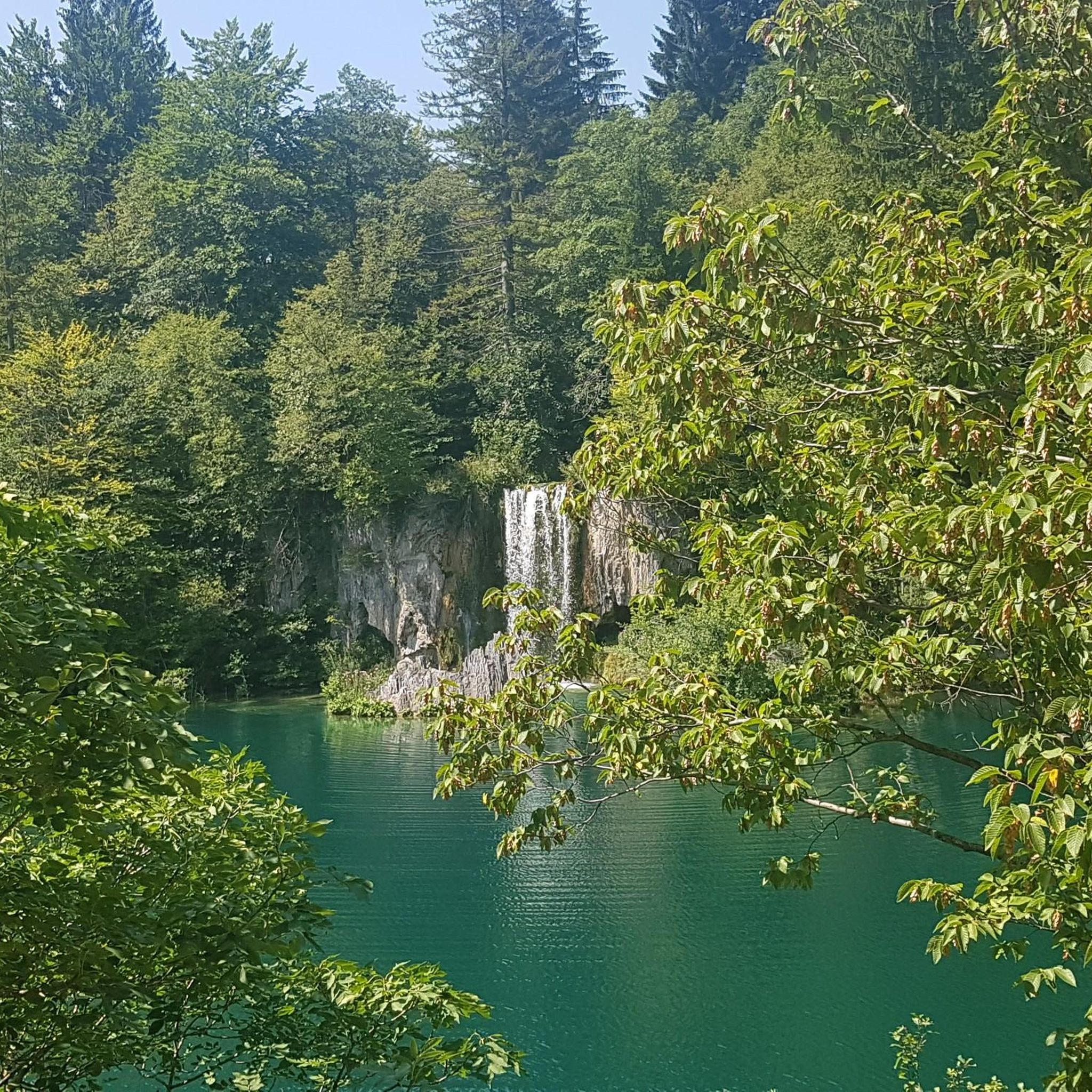
The fire pond on the Mühlenbach stream lies idyllically in the Bückeberg hills and is a tranquil, natural spot amidst the wooded hills. Fed by the Mühlenbach, the pond blends harmoniously into its surroundings and is now an integral part of the landscape of this region. Surrounded by trees and gentle hills, it invites hikers and walkers to take a short break and offers a peaceful place to enjoy nature. The pond owes its name to its original function as a water reservoir for firefighting. In times before centralized water supplies, such fire ponds were of great importance, especially in heavily forested areas. They provided readily available water for firefighting in emergencies, thus contributing to the protection of the surrounding villages and forests. Today, the fire pond is primarily of ecological and scenic significance. It provides habitat for amphibians, insects, and waterfowl and contributes to the diversity of flora and fauna in the Bückeberg hills. At the same time, it is a quiet meeting point in the region's network of hiking trails and uniquely combines nature, history and recreation in one of the most beautiful forest landscapes of the Schaumburg region.
1
0
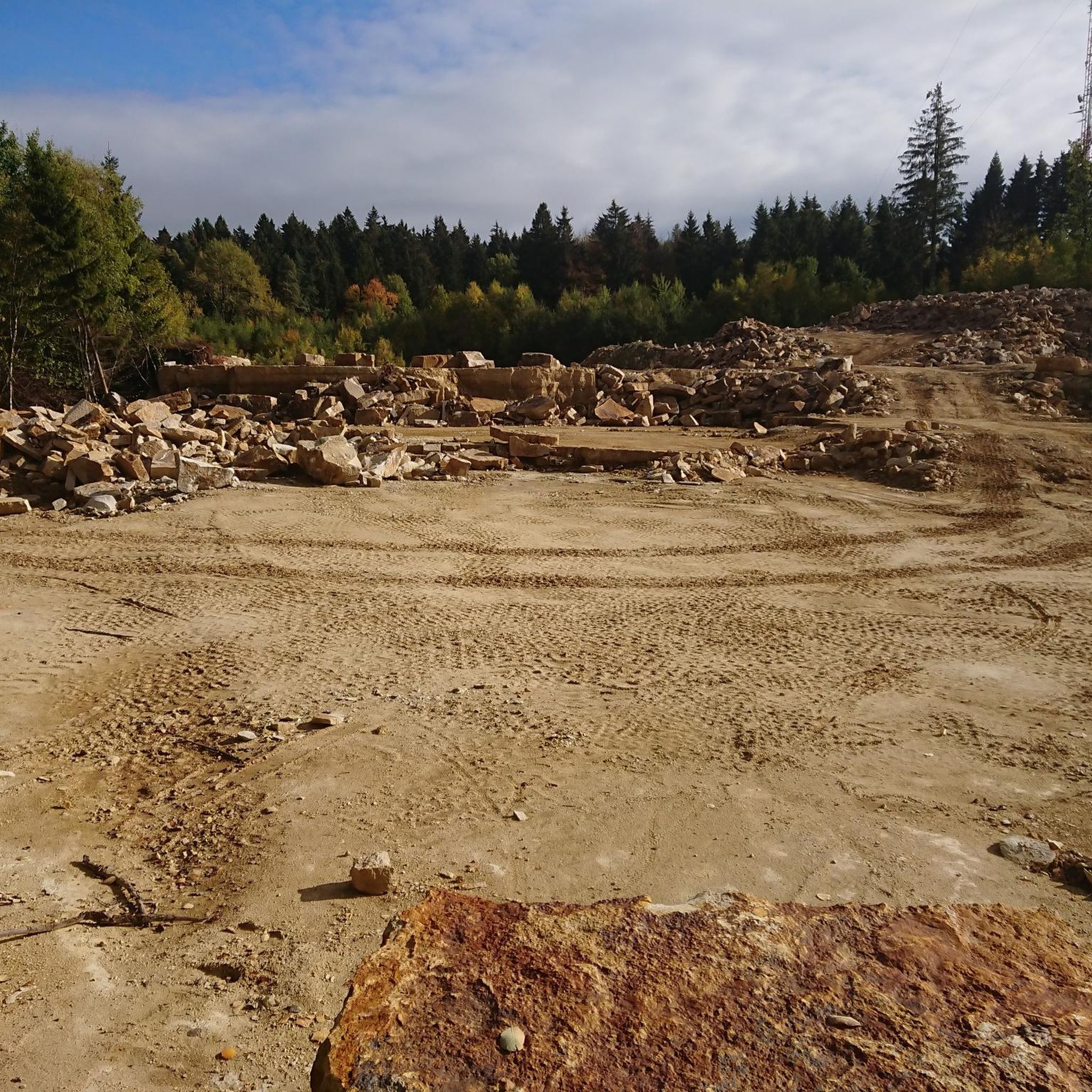
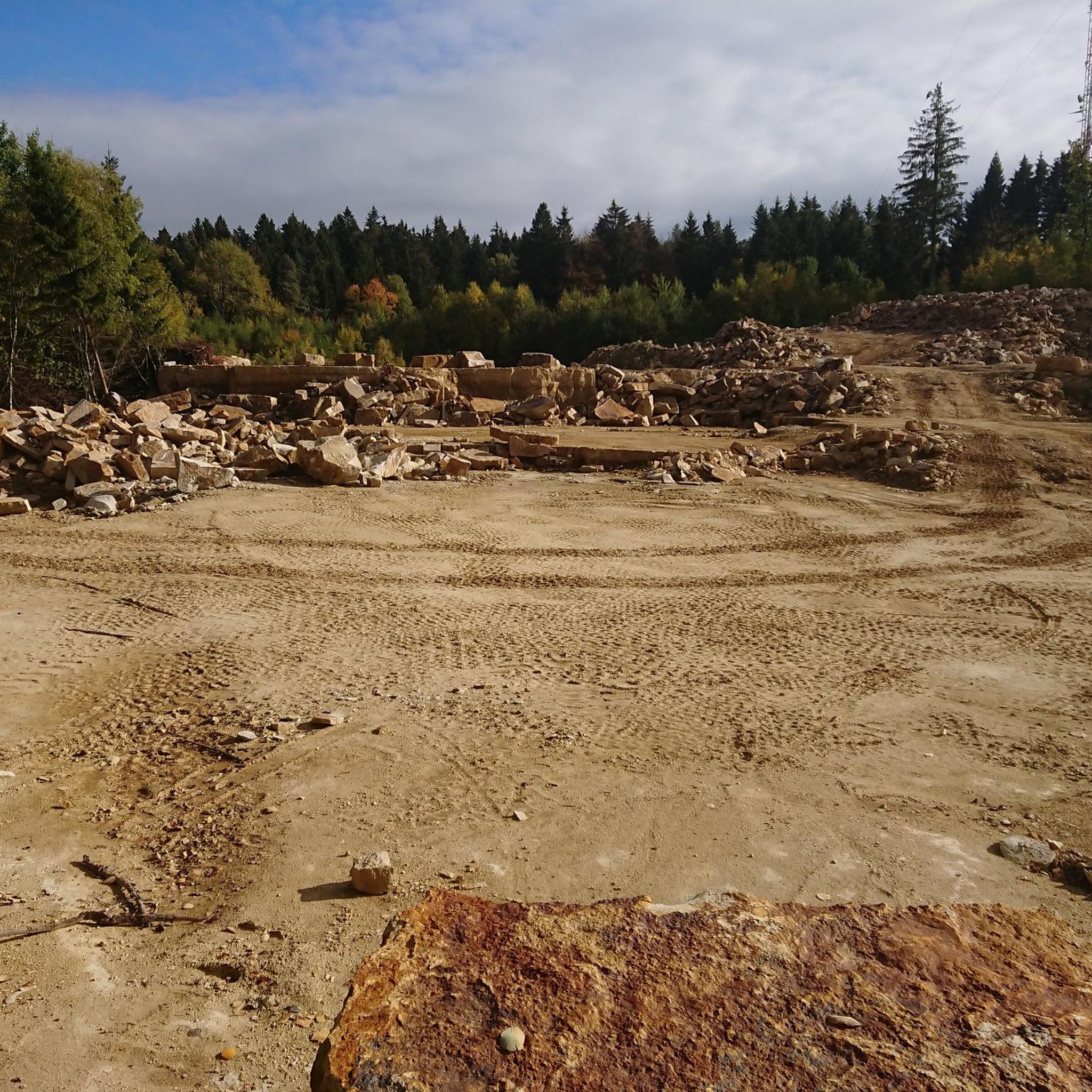
The dinosaur tracks in the Bückeberg sandstone quarries are among the most impressive relics of prehistoric times in Northern Germany. In the sandstone layers of the former Obernkirchen quarry, dinosaur footprints have been preserved, dating back approximately 140 million years, when this area was a flat coastal landscape with lagoons and wet sandy areas. Various dinosaur species roamed these soft soils, leaving their tracks in the sand that hardened over time. Both tracks of herbivorous dinosaurs and the typical three-toed footprints of carnivorous species are visible. The sheer number and density of the preserved tracks hint at just how teeming this landscape must have been in the early Cretaceous period. Today, the tracks lie exposed in the rock, offering a direct glimpse into a long-vanished world where enormous animals roamed what is now the Schaumburg region. Today the quarry is part of a protected natural and recreational area and is integrated into a nature trail that introduces visitors to the origin of the traces, the environment at that time and the geological significance of the Bückeberge.
1
0
The Brandshof shelter is idyllically situated near Wendthagen-Ehlen in the Bückeberg hills and is a popular rest stop and meeting place for hikers, walkers, and nature lovers. Nestled in the wooded, hilly landscape of the Bückeberg, it offers a tranquil spot to linger and relax amidst nature. The shelter is located on several well-maintained hiking trails and is often used as a starting or ending point for tours through the surrounding mixed forests. From here, numerous scenic features of the region can be discovered, including springs, old quarries, and viewpoints overlooking the Schaumburg region. Besides providing shelter from the elements, the Brandshof shelter is also a meeting place: the local tourism association and hiking groups regularly use it for joint events and social gatherings. Thus, the Brandshof shelter uniquely combines experiencing nature, relaxation, and community, and is an integral part of the leisure and hiking opportunities in the Bückeberg.
2
0
The fossilized tracks of the dinosaurs are 140 million years old.
1
0

Obernkirchen sandstone is among the highest quality sandstones in Germany. Cologne Cathedral was partially built with this sandstone.
0
0
40 years of the Brandshof refuge: 1996 was almost the end. In its 40 years, the Brandshof refuge in Wendthagen has experienced numerous storms and celebrations - and was almost demolished in 1996. At that time, the nearby quarry was to be expanded - but the people of Wendthagen were able to save their hut. Source: https://www.sn-online.de/lokales/schaumburg/stadthagen/40-jahre-schutzhuette-brandshof-1996-waere-fast-schluss-gewesen-4H57KPAEAYEGTQRYGDNSVDRFPI.html
4
0
オーベルンキルヒェンでのの人気観光スポット

komootモバイルアプリでインスピレーションを得よう


さらに探索
他の地域の最高のハイキングを見てみましょう。
