アウエタールのおすすめウォーキング&ハイキングルート
4.6
(656)
1,932
ハイカー
78
ハイキング
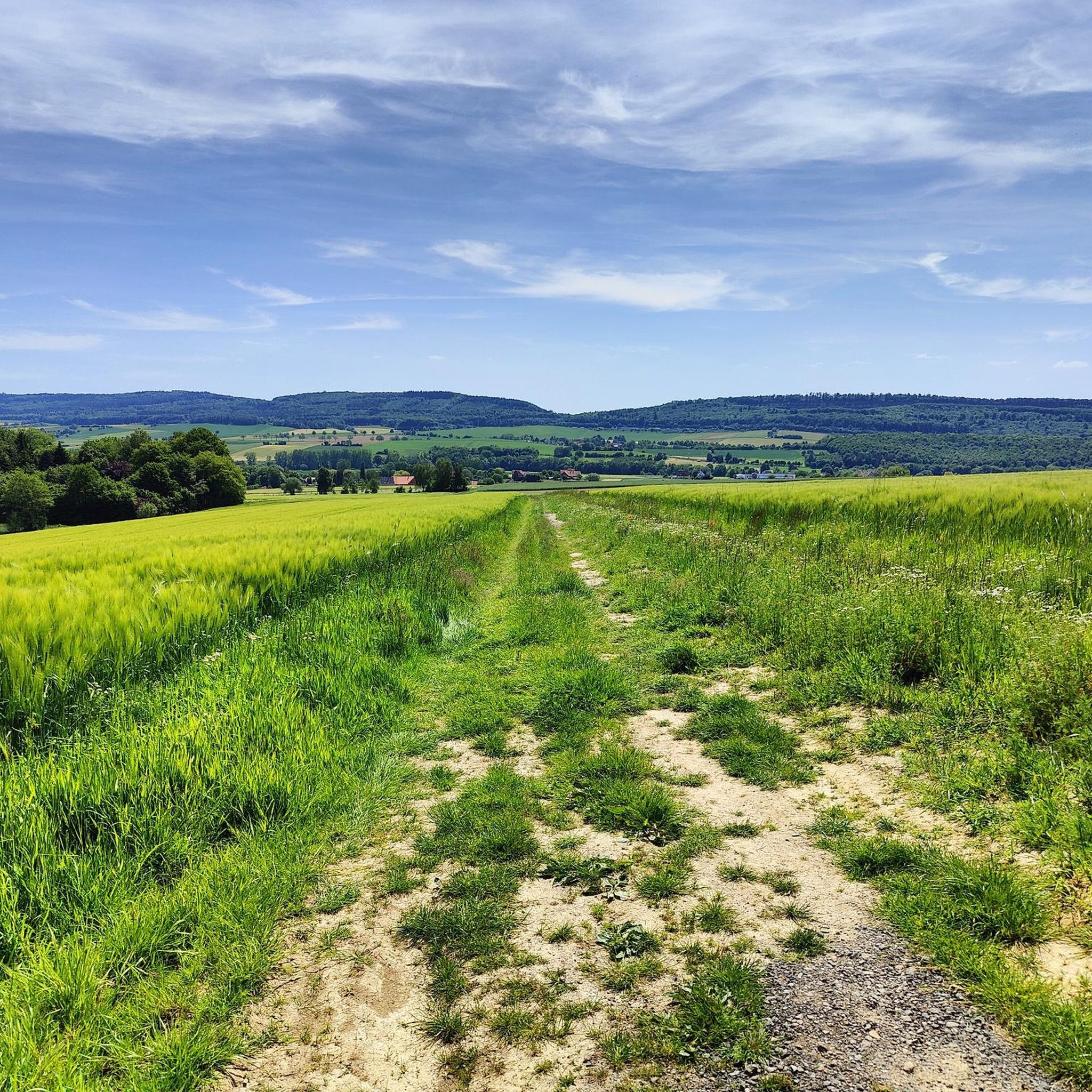
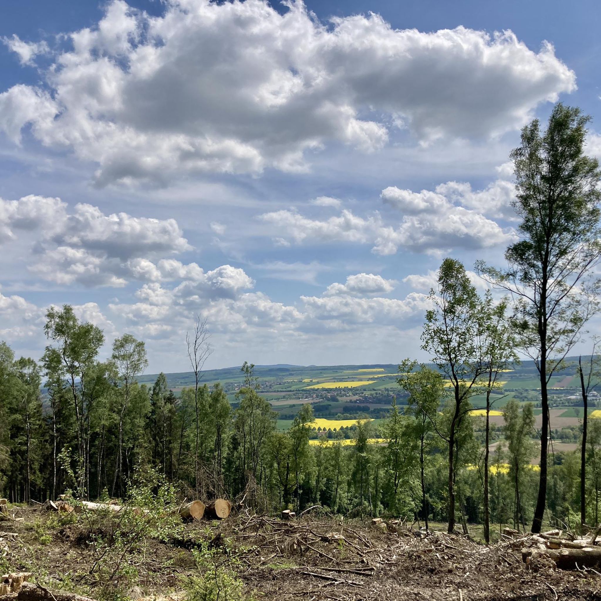
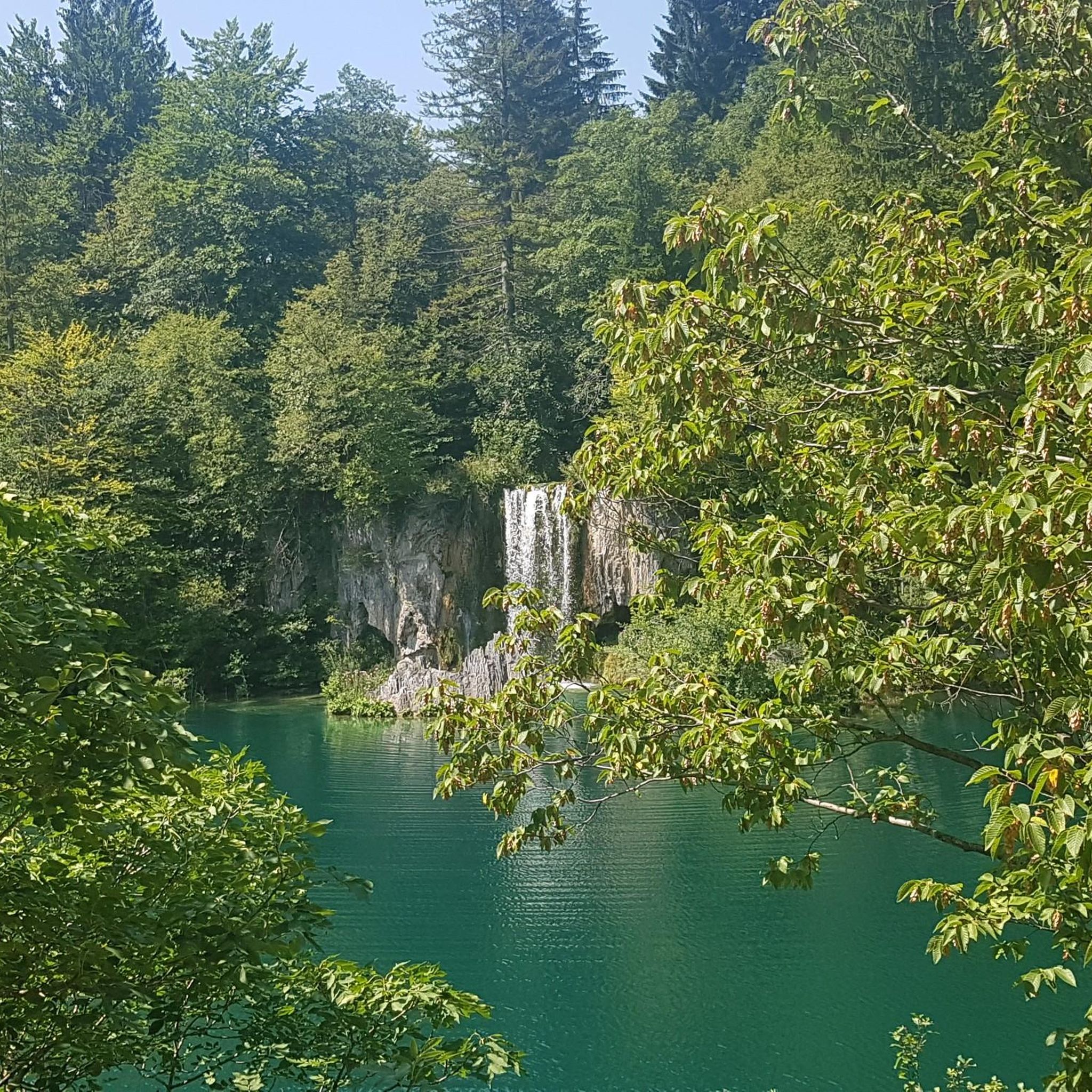
アウエタール周辺でのハイキングは、景色を満喫するのに最適な手段のひとつですが、適切なハイキングルートを見つけることは簡単ではありません。 アウエタール周辺の人気ハイキング&ウォーキングコースを参考にすれば、行きたいルートをすぐに見つけられます。
最終更新日: 10月 9, 2026
4.7
(102)
261
ハイカー
4.40km
01:12
60m
60m
初級者向けハイキング. あらゆるフィットネスレベルに適しています。 進みやすいルートです。あらゆるスキルレベルに適しています。
4.4
(68)
197
ハイカー
9.22km
02:35
180m
180m
中程度のハイキング. ある程度のフィットネスレベルが必要です。 進みやすいルートです。あらゆるスキルレベルに適しています。

4.6
(29)
87
ハイカー
9.08km
02:36
210m
210m
中程度のハイキング. ある程度のフィットネスレベルが必要です。 進みやすいルートです。あらゆるスキルレベルに適しています。
4.7
(37)
82
ハイカー
17.8km
04:50
240m
240m
中程度のハイキング. ある程度のフィットネスレベルが必要です。 進みやすいルートです。あらゆるスキルレベルに適しています。
4.8
(25)
48
ハイカー
16.6km
04:37
300m
300m
中程度のハイキング. ある程度のフィットネスレベルが必要です。 進みやすいルートです。あらゆるスキルレベルに適しています。
さらに多くのルートや他のユーザーのおすすめ情報を確認できます。
すでにアカウントをお持ちですか?
おすすめのツアーは他のkomootユーザーが実際に経験した何千ものアクティビティに基づいています。
無料アカウントで今日から始めよう
次の冒険が待っています。
アウエタール周辺で人気
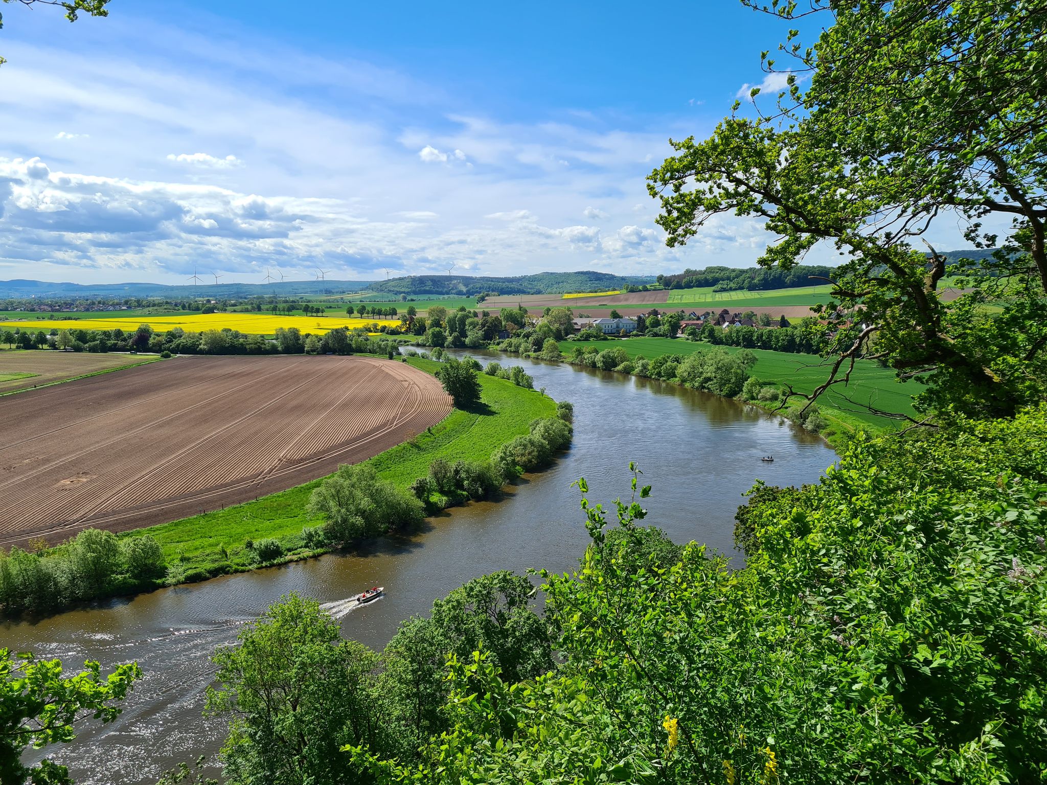
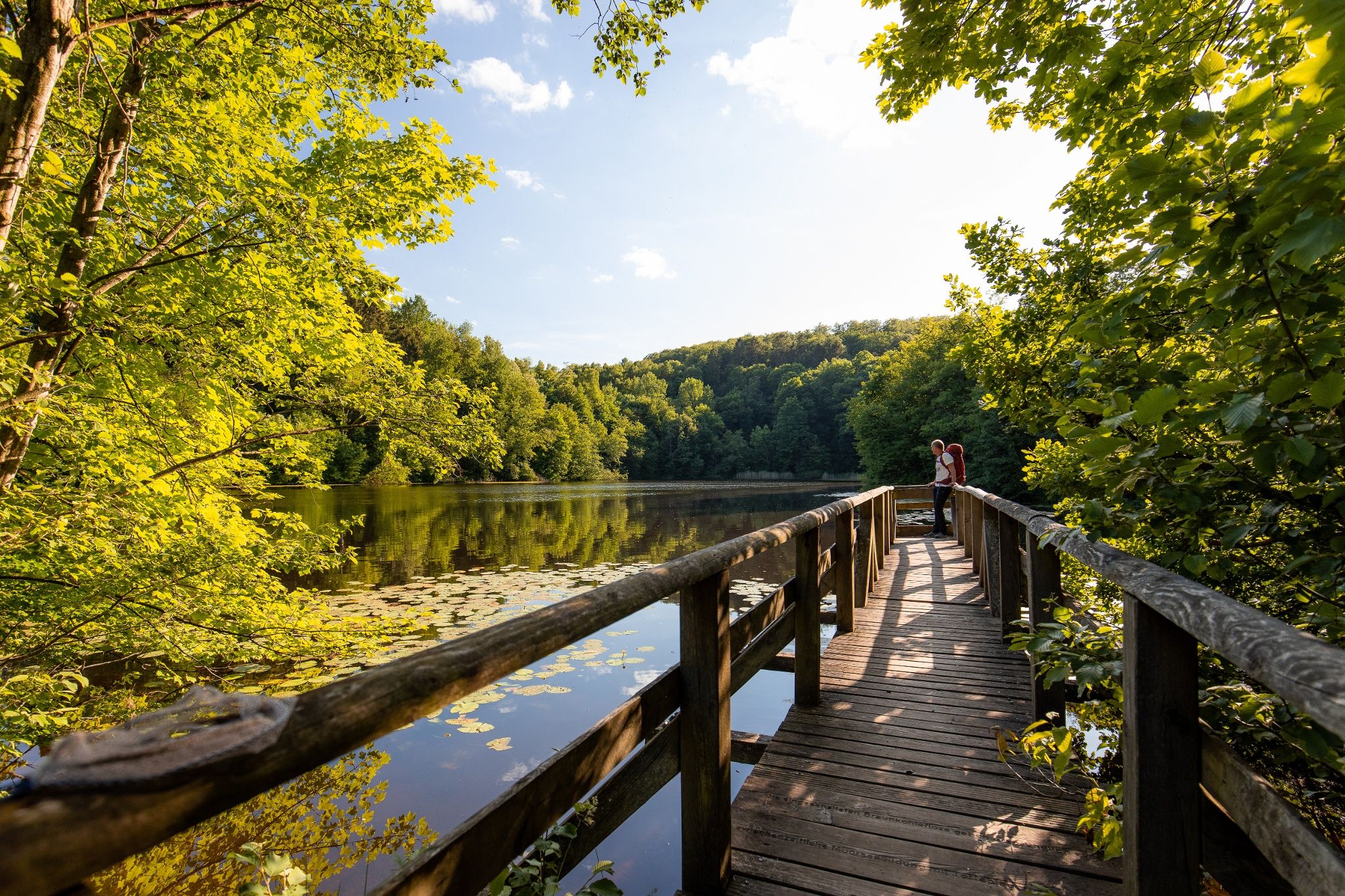
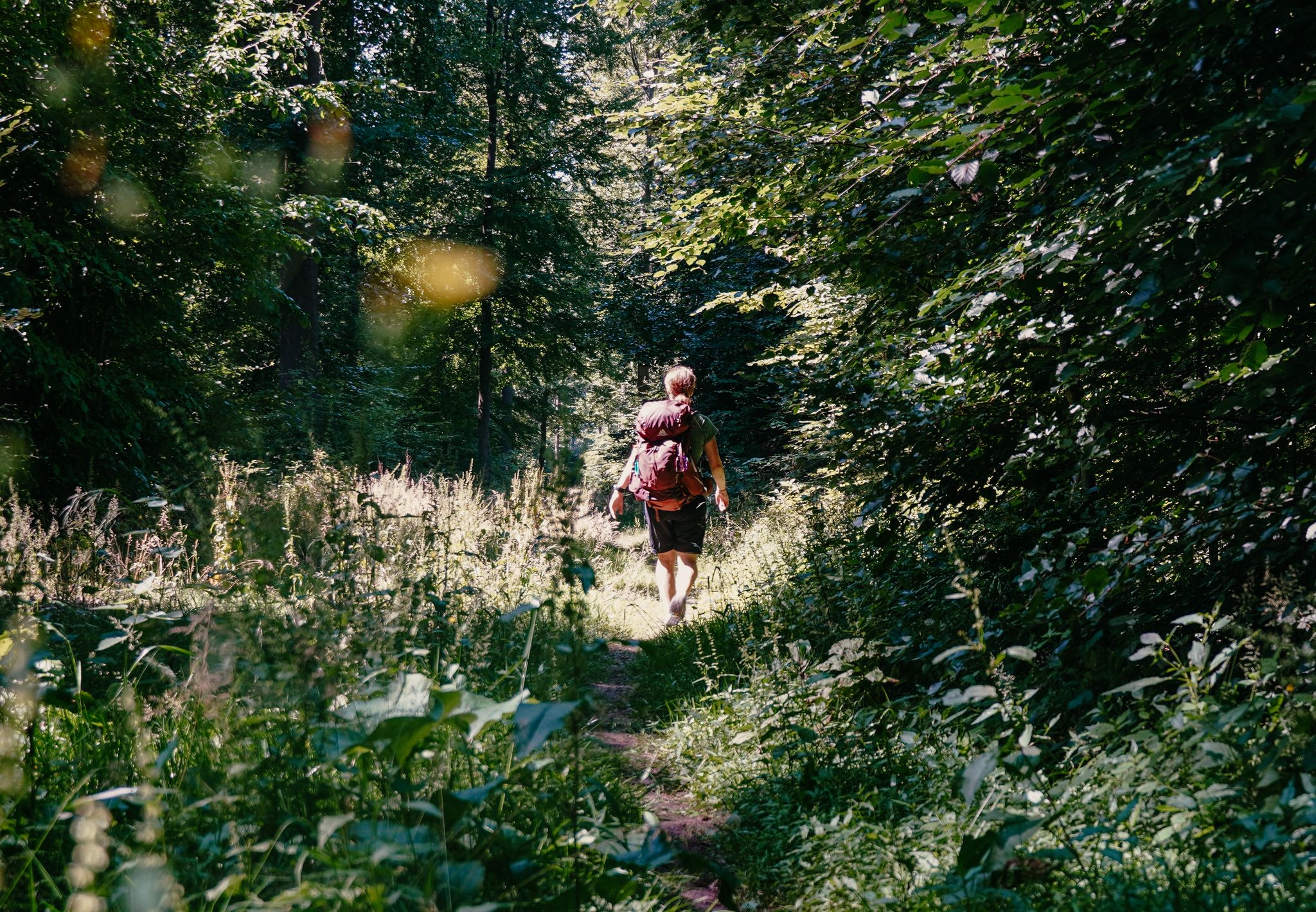
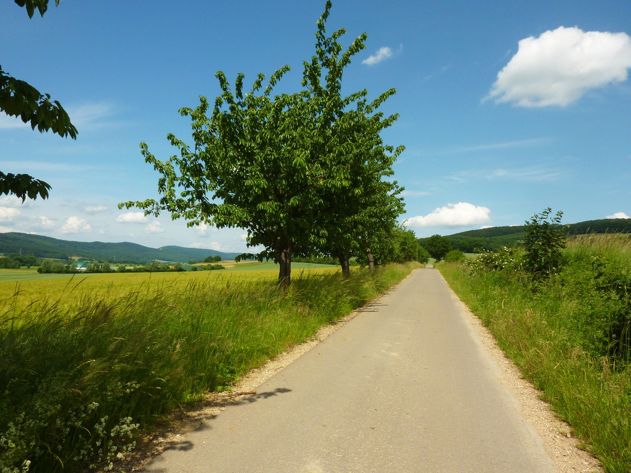


コミュニティからのヒント


The dinosaur tracks in the Bückeberg sandstone quarries are among the most impressive relics of prehistoric times in Northern Germany. In the sandstone layers of the former Obernkirchen quarry, dinosaur footprints have been preserved, dating back approximately 140 million years, when this area was a flat coastal landscape with lagoons and wet sandy areas. Various dinosaur species roamed these soft soils, leaving their tracks in the sand that hardened over time. Both tracks of herbivorous dinosaurs and the typical three-toed footprints of carnivorous species are visible. The sheer number and density of the preserved tracks hint at just how teeming this landscape must have been in the early Cretaceous period. Today, the tracks lie exposed in the rock, offering a direct glimpse into a long-vanished world where enormous animals roamed what is now the Schaumburg region. Today the quarry is part of a protected natural and recreational area and is integrated into a nature trail that introduces visitors to the origin of the traces, the environment at that time and the geological significance of the Bückeberge.
1
0

The Self-Care Trail near Hattendorf is a gently guided themed path that combines experiencing nature with personal mindfulness. Over a distance of just over four kilometers, it accompanies hikers through a tranquil landscape of meadows, forest edges, and the gentle hills of the Auetal valley. Nine stations invite visitors to pause and turn their gaze inward: to perceive their own resources, to quiet their inner critic, or simply to breathe consciously for a moment. The trail is not intended as a sporting challenge, but rather as an invitation to slow down, a quiet dialogue between people and nature that unfolds its full effect particularly in the early morning hours or after fresh snowfall.
1
0

Hiking poles are helpful even at a more advanced age. A very nice hiking trail for enjoying the forest and also for self-care...
1
0
The fossilized tracks of the dinosaurs are 140 million years old.
1
0

Obernkirchen sandstone is among the highest quality sandstones in Germany. Cologne Cathedral was partially built with this sandstone.
0
0

Beautiful bench with "Love" lettering on a small tree. Self-care feels so good!
1
0

The point is worth it and is a really cool highlight
0
0

komootモバイルアプリでインスピレーションを得よう


さらに探索
他の地域の最高のハイキングを見てみましょう。
