オーベルンキルヒェンのおすすめランニングルート
4.8
(35)
301
ランナー
52
ランニング
オーベルンキルヒェンでランニングを楽しめば、このエリアをより深く知ることができます。ランニングに適した美しいルートが見つかるように、komootがオーベルンキルヒェンでのルートのコレクション全体を評価して選び抜いた、人気ランニングトレイルをご紹介します。ルートをクリックして詳細を表示し、他のユーザーがアップロードした役立つ情報や写真を閲覧しましょう。
最終更新日: 10月 14, 2026
5.0
(2)
22
ランナー
9.68km
01:01
80m
90m
中程度のジョギング. ある程度のフィットネスレベルが必要です。 全般的に舗装された状態です。あらゆるスキルレベルに適しています。
5.0
(1)
15
ランナー
5.60km
00:38
110m
110m
中程度のジョギング. ある程度のフィットネスレベルが必要です。 全般的に舗装された状態です。あらゆるスキルレベルに適しています。

9
ランナー
16.4km
01:47
240m
230m
難しいジョギング. 標準以上のフィットネスレベルが必要です。 全般的に進みやすいルートです。一部で、安定して歩行できる技術が必要です。
5.0
(3)
7
ランナー
5.87km
00:37
40m
40m
中程度のジョギング. ある程度のフィットネスレベルが必要です。 全般的に舗装された状態です。あらゆるスキルレベルに適しています。
4.3
(3)
9
ランナー
5.52km
00:36
40m
40m
中程度のジョギング. ある程度のフィットネスレベルが必要です。 全般的に進みやすいルートです。一部で、安定して歩行できる技術が必要です。
さらに多くのルートや他のユーザーのおすすめ情報を確認できます。
すでにアカウントをお持ちですか?
おすすめのツアーは他のkomootユーザーが実際に経験した何千ものアクティビティに基づいています。


コミュニティからのヒント

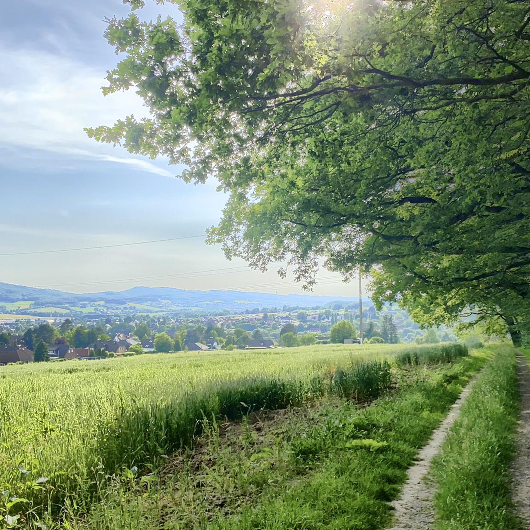
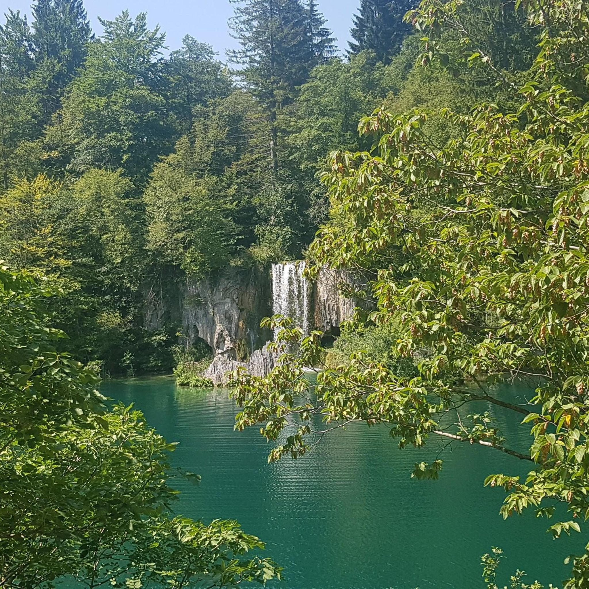
シュタインベルゲンからバート・アイルゼン方面の森へ。約30分の歩行で右手に小さな水車小屋が見つかります。そこから坂を上を見ると、小さな家があります。かつて戦争中に避難場所として使われていたものです。そこは急ですが、行く価値があります。この地域には多くのイノシシがいます(オベリックスならきっと喜ぶでしょう)。ツアーを存分にお楽しみください。道をさらに進むと、約40分後に交差点に出ます。右はバート・アイルゼン方面(緩やかな下り坂)、左はビュッケベルク(ズュッセ・ムッター)方面です。長く緩やかな登り坂です。そこからさらにビュッケベルクへ進むことができます。
0
0


The Brandshof shelter is idyllically situated near Wendthagen-Ehlen in the Bückeberg hills and is a popular rest stop and meeting place for hikers, walkers, and nature lovers. Nestled in the wooded, hilly landscape of the Bückeberg, it offers a tranquil spot to linger and relax amidst nature. The shelter is located on several well-maintained hiking trails and is often used as a starting or ending point for tours through the surrounding mixed forests. From here, numerous scenic features of the region can be discovered, including springs, old quarries, and viewpoints overlooking the Schaumburg region. Besides providing shelter from the elements, the Brandshof shelter is also a meeting place: the local tourism association and hiking groups regularly use it for joint events and social gatherings. Thus, the Brandshof shelter uniquely combines experiencing nature, relaxation, and community, and is an integral part of the leisure and hiking opportunities in the Bückeberg.
2
0
Beautiful route that puts you in a good mood!
0
0
The event is based on a running event held by the German Gymnastics Association (DT) until 1934, the run around the Bückeberg, which covered a distance of 15 kilometers. In 1934 and 1935, waste from the Obernkirchen sandstone quarries was used to create a gymnastics area on the Bückeberg with the help of gymnasts from the district's clubs. This was located near the Jahn Tower, but has now been leveled and is no longer visible. The annual mountain gymnastics festivals held on the Bückeberg from 1935 onwards were initially called Jahn memorial gymnastics. The first took place on August 11, 1935. The head gymnastics officer and organizer was Ernst Stahlhut, who set up a mountain gymnastics festival committee. In contrast to most other mountain sports festivals, the events even took place throughout the Second World War with what was described as "extraordinarily good" participation, for example on August 24, 1944. Many of the gymnasts came to Bückeberg directly from the front during their home leave, including the organizer Stahlhut. Source: https://de.wikipedia.org/wiki/Jahn-Bergturnfest
3
0
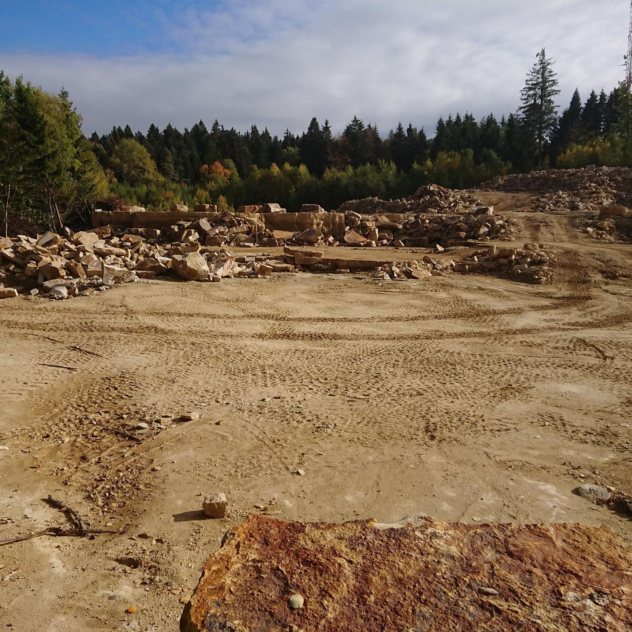
40 years of the Brandshof refuge: 1996 was almost the end. In its 40 years, the Brandshof refuge in Wendthagen has experienced numerous storms and celebrations - and was almost demolished in 1996. At that time, the nearby quarry was to be expanded - but the people of Wendthagen were able to save their hut. Source: https://www.sn-online.de/lokales/schaumburg/stadthagen/40-jahre-schutzhuette-brandshof-1996-waere-fast-schluss-gewesen-4H57KPAEAYEGTQRYGDNSVDRFPI.html
4
0

You can also check your own range here.
3
0
オーベルンキルヒェンでのの人気観光スポット

komootモバイルアプリでインスピレーションを得よう


さらに探索
他の地域の最高のランニングトレイル & ルートを見てみましょう。
