ラントゥンベッケン周辺のアトラクション&必見スポット - トップ6
ラントゥンベッケンには必見のスポットがたくさんあります。ハイキング愛好家やサイクリング愛好家の方は、ぜひラントゥンベッケンを探索してこのエリアにある6
の隠れたスポットを訪れてみてください。このエリアの必見スポットを確認し、次の冒険に出かける計画を立てましょう。
最終更新日: 8月 30, 2026
ラントゥムベッケン堤防道
ハイライト (セグメント) • トレイル
翻訳者 Google •
役立つ情報 は

ラントゥムベッケン自然保護区
ハイライト • 湖
翻訳者 Google •
役立つ情報 は

今すぐサインアップして、こんな場所を発見しよう
最高のシングルトラック、ピーク、その他のエキサイティングなアウトドアスポットのおすすめを受け取ろう。
無料新規登録
ラントゥム・バシンのバードアイランド
ハイライト • 湖
翻訳者 Google •
役立つ情報 は

Rantumbeckenの堤防道
ハイライト (セグメント) • サイクリングロード
翻訳者 Google •
役立つ情報 は

ラントゥムベッケンとワッデン海
ハイライト • 湖
翻訳者 Google •
役立つ情報 は

無料でサインアップして、さらに多くの観光スポットを発見しましょう ラントゥンベッケンでの。
無料新規登録
すでにアカウントをお持ちですか?
無料アカウントで今日から始めよう
次の冒険が待っています。
ログインまたは登録
コミュニティからのヒント

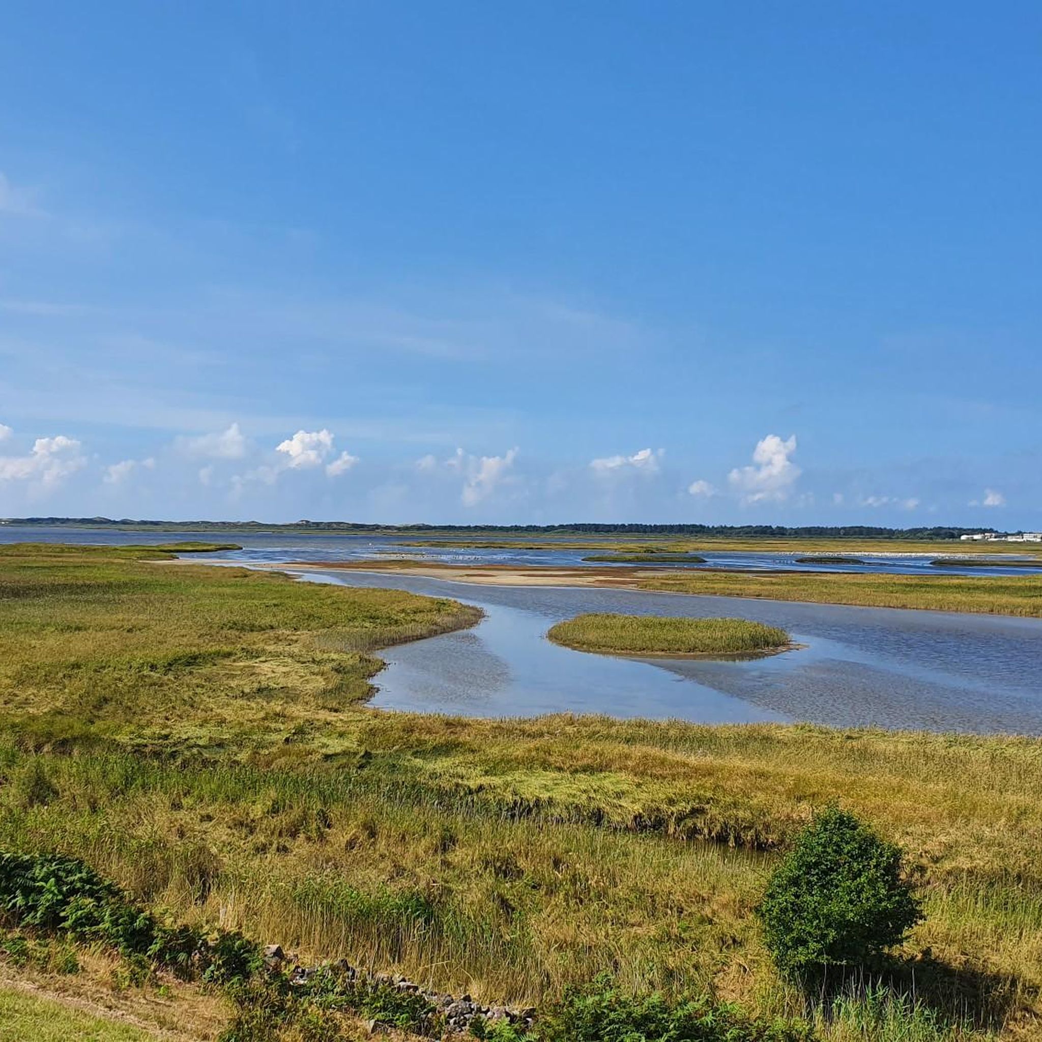
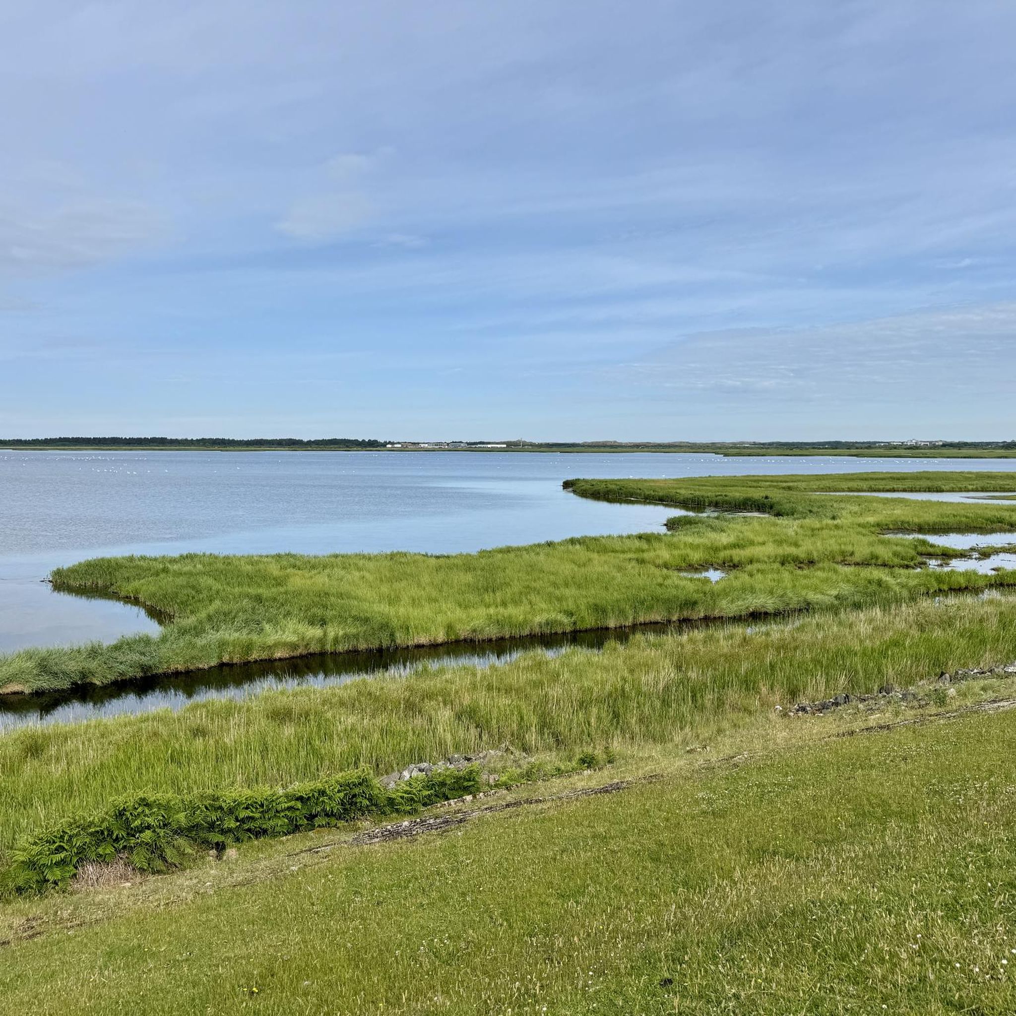
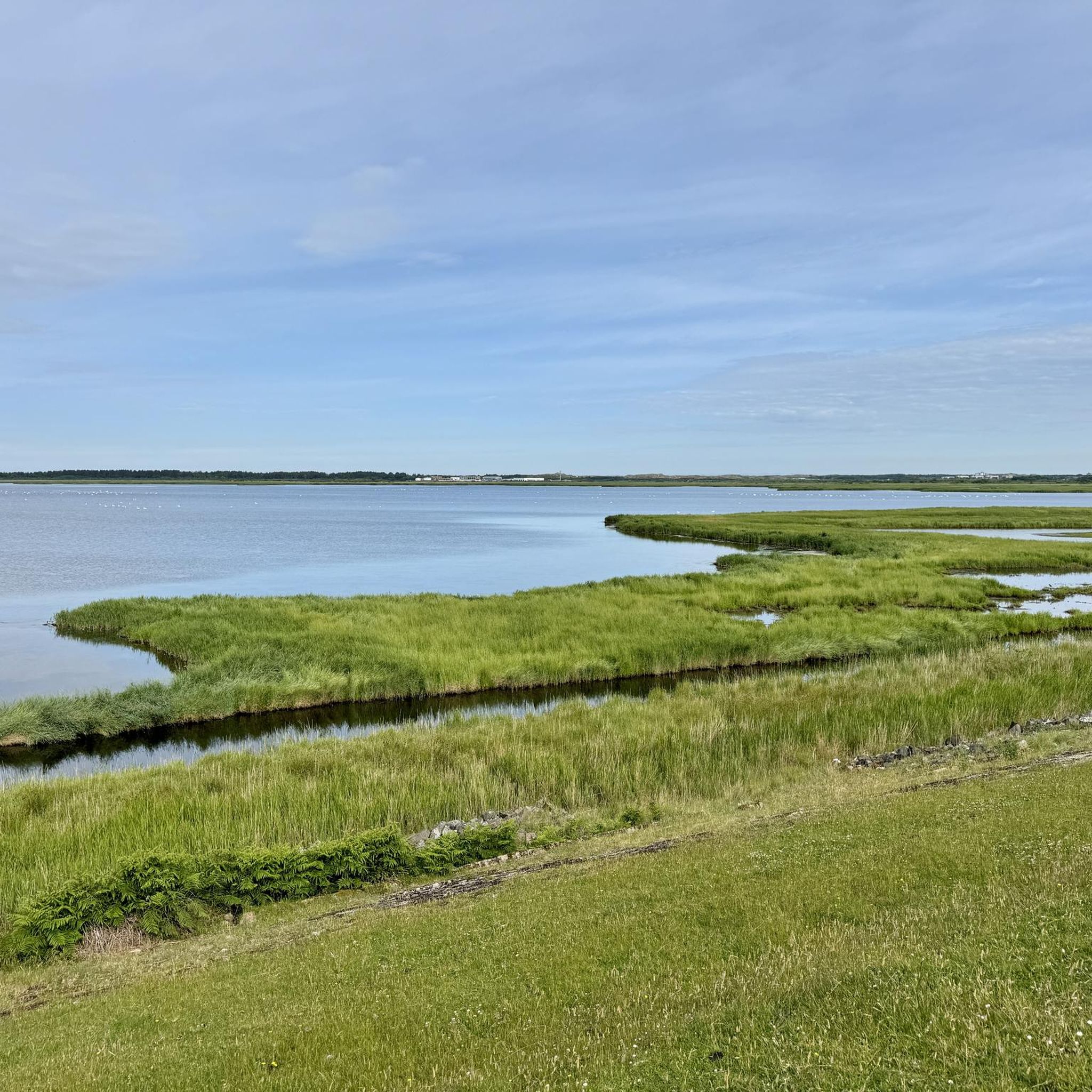
💙🐦⬛ランツムベッケン は、ランツム🧭にある約600ヘクタールの貯水池で、1930年代後半に、当初計画されていた水上飛行機用の空港の一定の水位を確保するために堤防で囲まれました。しかし、ランツムベッケンが水上空港として利用されることはありませんでした。 その後、新たに獲得された自然地域には海鳥保護区🐦⬛が設置され、今日では世界中の鳥類学者を惹きつけています。 🐦⬛💙ランツムベッケンは現在、北ドイツで最も種多様性の高い鳥類保護区の1つとなっており、50種以上の鳥が繁殖や休息をする様子を観察できます🐦⬛。 特に渡りの時期には、満潮時に何千羽もの鳥が巨大な群れで観察されます🐦⬛🐦⬛🐦⬛🐦⬛👌🏼。
3
0

It is very varied and you can observe many animals.
3
0

The approximately 5km stretch on the top of the Rantum Basin dike is a dream route, but not a classic road bike highlight due to the coarse gravel. The tires should be at least 30mm, or even wider. Now very busy during the high season, with e-bikes making up >90%.
7
0

Wide sky, wide sea. In the south of Sylt you can walk for miles along the dam that separates the Rantum Basin (a brackish water lake) from the North Sea. It was originally built in 1936/37 on behalf of the Wehrmacht - it was intended to serve as an air base for naval aviation for the Luftwaffe. Today the Rantum Basin is a valuable nature reserve.
6
1

The Rantum basin is a nature reserve in the middle of the island of Sylt, south of the towns of Westerland and Tinnum. It is named after the place Rantum. This protected area is looked after by the Jordsand association.
14
0

On one side the open sea on the other the bird sanctuary with lake.
5
0

Whether by bike or on foot - a very worthwhile round.
7
0

An absolutely great way always along the water.
3
0
ラントゥンベッケンでのの人気観光スポット

komootモバイルアプリでインスピレーションを得よう


さらに探索
まだ探しているハイライトが見つかりませんか?他の地域のトップアトラクションのガイドを見てみましょう:
