ゼンネビュル周辺のアトラクション&必見スポット - トップ20
ゼンネビュルには必見のスポットがたくさんあります。ハイキング愛好家やサイクリング愛好家の方は、ぜひゼンネビュルを探索してこのエリアにある20
の隠れたスポットを訪れてみてください。このエリアの必見スポットを確認し、次の冒険に出かける計画を立てましょう。
最終更新日: 10月 10, 2026
ハンブルガー・ハリッグへの塩性湿地の道
ハイライト (セグメント) • トレイル
翻訳者 Google •
役立つ情報 は

シュフスベルク(ハンブルガー・ハリック)のNABUインフォメーション小屋
ハイライト • 休憩所
翻訳者 Google •
役立つ情報 は

今すぐサインアップして、こんな場所を発見しよう
最高のシングルトラック、ピーク、その他のエキサイティングなアウトドアスポットのおすすめを受け取ろう。
アルラウ水門揚水場と自然博物館
ハイライト • 記念碑
翻訳者 Google •
役立つ情報 は

Cecilienkoog展望塔
ハイライト • 展望台
翻訳者 Google •
役立つ情報 は

Amsinck-Haus ビジター・インフォメーションセンター
ハイライト • 休憩所
翻訳者 Google •
役立つ情報 は
無料でサインアップして、さらに多くの観光スポットを発見しましょう ゼンネビュルでの。
すでにアカウントをお持ちですか?
無料アカウントで今日から始めよう
次の冒険が待っています。
コミュニティからのヒント

Quite a wide river!
0
0

Nearby, about 350 meters off the route, past the lock, it's worth taking a short break. The Deichhotel Arlau has a small café with a great viewing terrace.
0
0

The Arlauschleuse pumping station was built in 1924 to drain water from the marshlands of the Hattstedtermarsch at the mouth of the Arlau River into Nordstrand Bay.
0
0

Bike rental, important information and last but not least a toilet a really great place to go
0
0

The Amsinck House is located directly at the dyke crossing to the Hamburger Hallig and is an important information center in the Schleswig-Holstein Wadden Sea National Park. The house offers an exciting exhibition that deals with the history, nature and culture of central North Frisia. Visitors can learn interesting facts about the life and economy of people in the past and today. The exhibition is multimedia and is accompanied by radio plays by six typical representatives of North Frisia. A special focus of the Amsinck House is on the nature of the Wadden Sea and the salt marshes. There is a lot of information about the flora and fauna as well as the dyke construction and the importance of renewable energies in the region. In addition, guided tours to the Hamburger Hallig, mudflat hikes and cycling and horseback riding tours are offered. The Amsinck House is also an ideal starting point for walks and bike tours through the unique landscape of North Frisia. Visitors can rent bicycles and explore the area on their own. There is a parking space directly at the house for travelers with mobile homes.
0
0

Impressive Nabu protected area, about which further information is available at the information point on the Schafsberg
3
0
Not only great information about the North Frisian holiday region, but also the starting point for a hike to the Hamburger Hallig with parking facilities, or you can rent a bike for €2, which is only offered for this tour. In any case, don't just drive past, but definitely take the really worthwhile detour to the Hallig (approx. 6 km there and back).
1
0

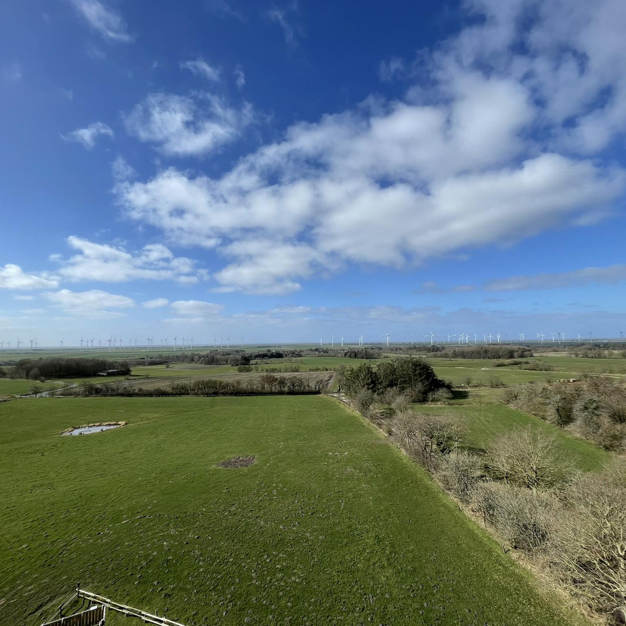
Beautiful location for observing flora, fauna and bird life on the North Sea Great view of the Beltringharder Koog and a good opportunity to take a break.
3
0
ゼンネビュルでのの人気観光スポット

komootモバイルアプリでインスピレーションを得よう


さらに探索
まだ探しているハイライトが見つかりませんか?他の地域のトップアトラクションのガイドを見てみましょう:
