スマーニュの天然記念物・トップ20
スマーニュが誇る美しい風景を見てみたいなら、スマーニュの素晴らしい天然記念物・トップ20
に行ってみましょう。あなたにぴったりの場所が見つかるよう、素晴らしい天然記念物を探索するために必要なすべての情報を集めました。次のアウトドアの冒険に出かける計画の参考にしましょう。
最終更新日: 9月 18, 2026
悪魔の橋(Pont du Diable)
ハイライト • 橋
翻訳者 Google •
役立つ情報 は

観測用バンカーMN18とクヌッペルシュトック展望テーブル
ハイライト • 歴史的な場所
翻訳者 Google •
役立つ情報 は

今すぐサインアップして、こんな場所を発見しよう
最高のシングルトラック、ピーク、その他のエキサイティングなアウトドアスポットのおすすめを受け取ろう。
ボワ・レ・ダムのサバンナ
ハイライト • 自然
翻訳者 Google •
役立つ情報 は
ヴァル=デュー池のジョゼ・シンス観察小屋
ハイライト • 山小屋
翻訳者 Google •
役立つ情報 は

ウルト川とムーズ川の合流点
ハイライト • 川
役立つ情報 は

無料でサインアップして、さらに多くの自然記念物を発見しましょう スマーニュでの。
すでにアカウントをお持ちですか?
無料アカウントで今日から始めよう
次の冒険が待っています。
コミュニティからのヒント

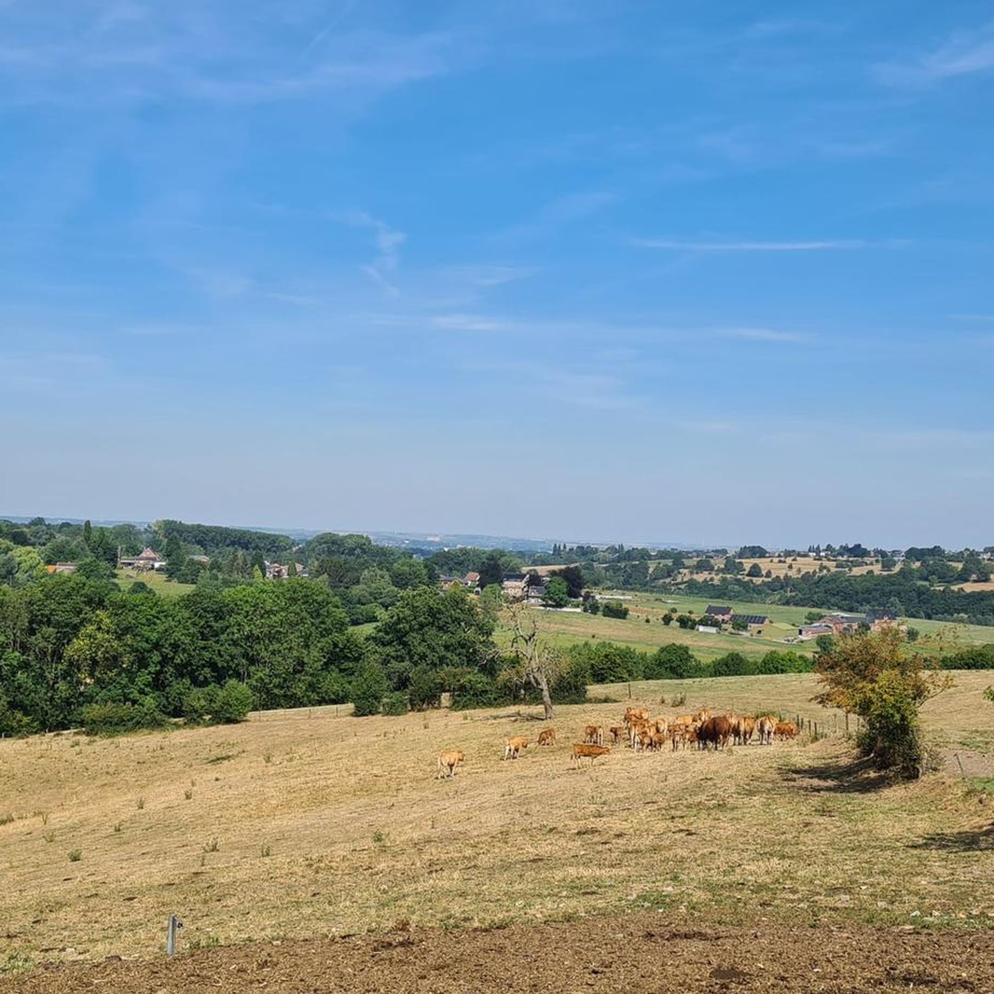
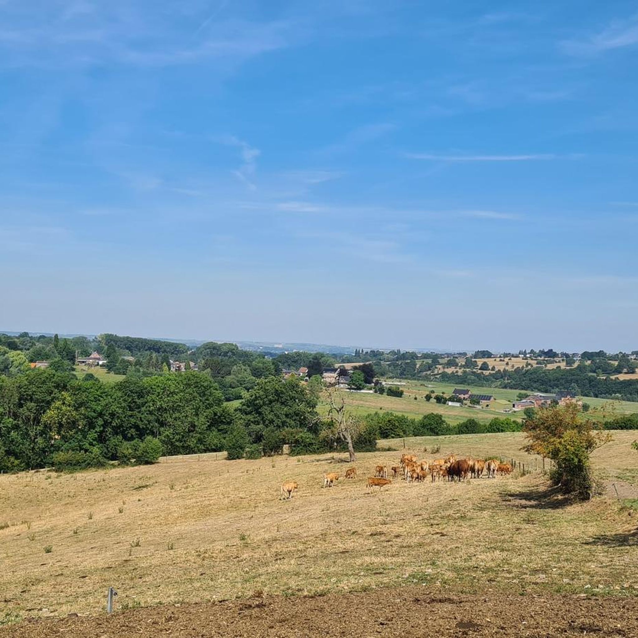
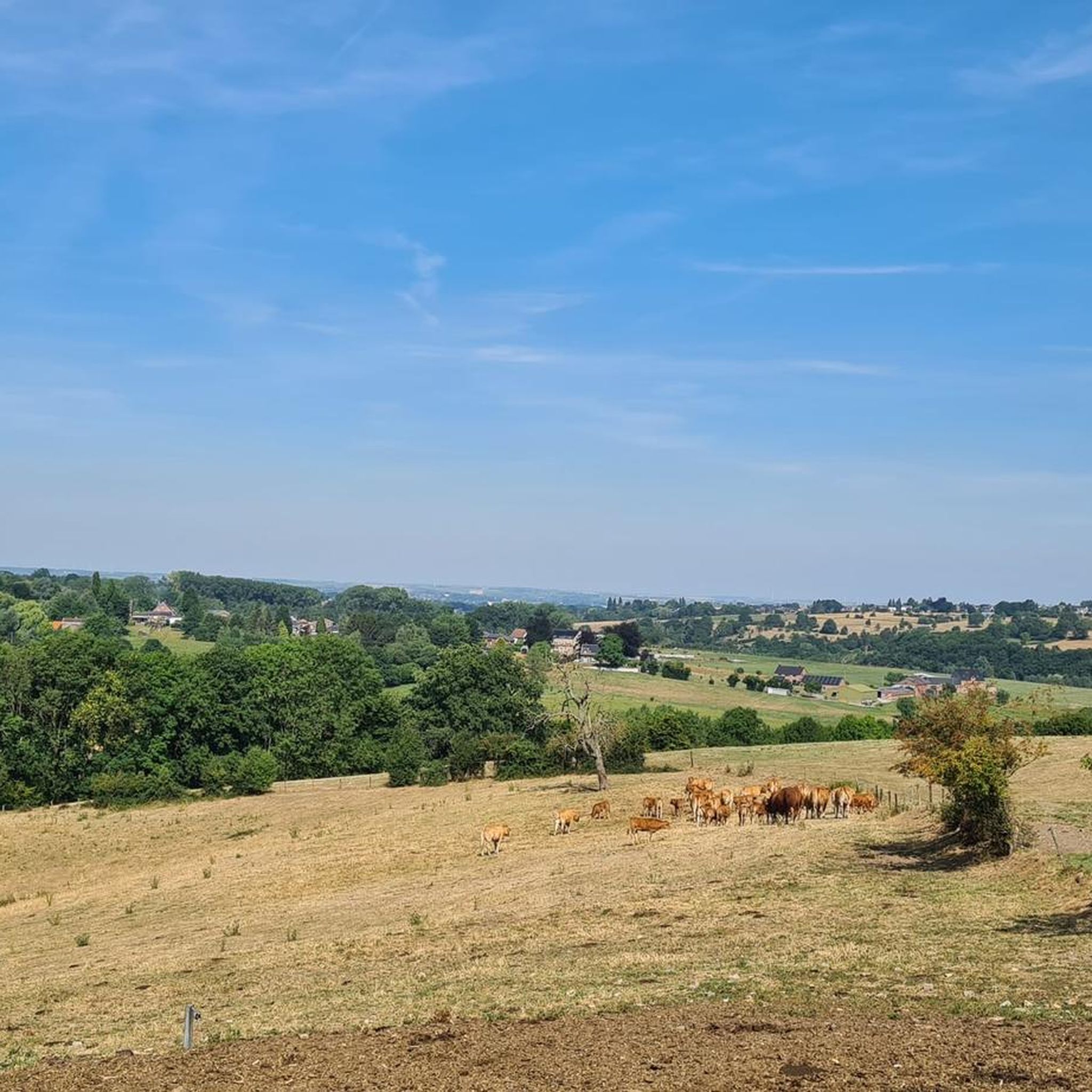
Le Bois-les-Damesは、驚きに満ちた場所の一つです。リエージュからわずか数キロ離れただけで、深い森から開けた荒野へ、小さな小川から粘板岩の草原へと景色が変わり、場所によってはヴェスドル渓谷の美しいパノラマが広がります。野生的ながらも、驚くほど街に近い風景です。ありきたりでないハイキングを好む人にとって、素晴らしい発見となるでしょう。
2
0
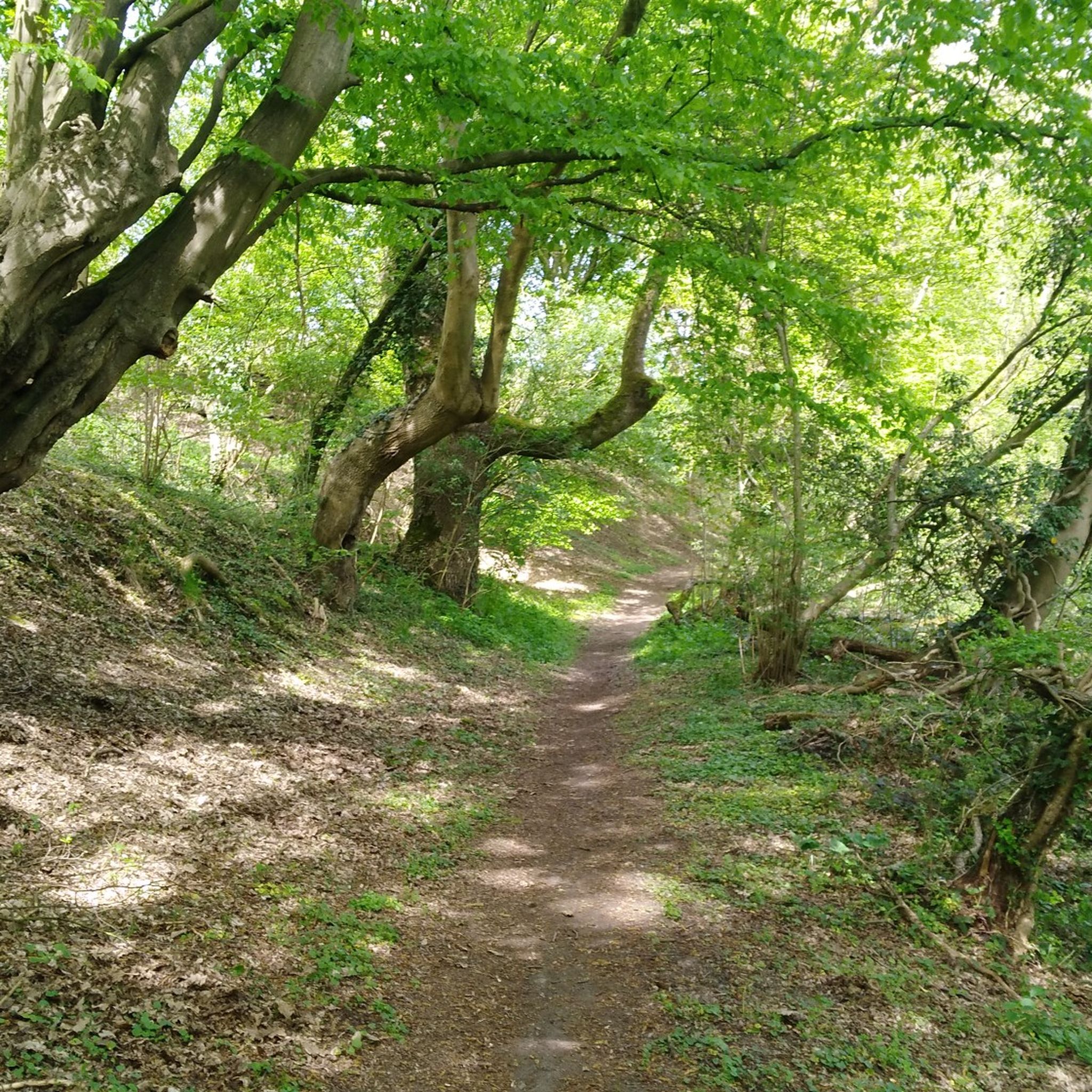
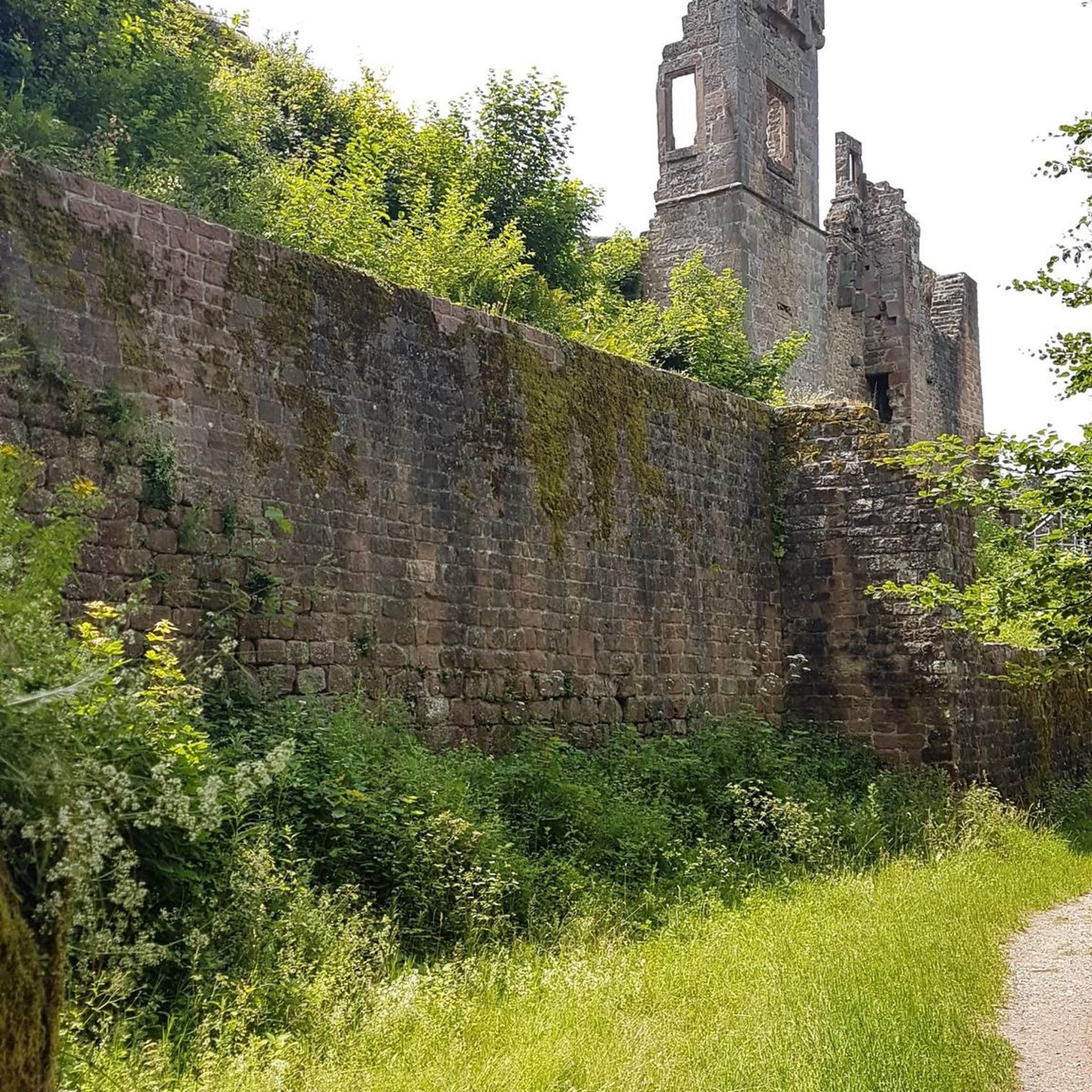
ショーフォンテーヌの森の奥深くにある悪魔の橋は、人を惹きつけるのと同じくらい興味をそそります。 乾いた石でできたこの小さなアーチは、粘板岩の岩の上に置かれ、森の真ん中にほとんど不釣り合いに見えます。そして、すべての良い「悪魔の橋」のように、それには伝説があります… このハイキングに神秘的な雰囲気を加える、個性豊かな道です。
1
0

The MN18 Observation Bunker is part of the first line of defense of the Position Fortifiée de Liège (PFL), a network of bunkers built in the 1930s to defend Belgium against a German invasion. MN18 was the 18th bunker in the Margarins-Neufchâteau sector and equipped with an FM turret, recognizable by its tapered shape. During the German attack in May 1940, the bunker was destroyed by a 50 kg shaped charge placed on top of the turret, just where the periscope was located. The damage is still visible, making MN18 a tangible reminder of World War II. Right next to the bunker is the Knuppelstock orientation table, an impressive work of blue limestone with a diameter of 1.5 meters and weighing approximately one ton. The relief of the surrounding landscape is engraved on it based on data from the National Geographic Institute, with bronze details indicating the visible points. The table is also accessible for the visually impaired thanks to its tactile elements. The project, carried out by local organizations such as Qualité-Village-Wallonie and the municipality of Aubel, is unique in Belgium.
11
0

At this point, history and landscape converge. The MN18 observation bunker, a silent witness to the Second World War, still stands as a reminder of a turbulent period. From the bunker, you also have a unique view of the surrounding hilly landscape. Next to the bunker is the Knuppelstock orientation table, a platform that indicates the names and directions of villages, hills, and landmarks in the area. It's an ideal spot to get to know the region better and to enjoy a panoramic view of the border area between the Netherlands and Belgium.
4
0
At the edge of the pond near Val-Dieu Abbey stands the José Schyns observation hut, a peaceful spot where you can experience nature undisturbed. From the wooden hut, you have a beautiful view of the pond and the surrounding valley, ideal for observing birds and other animals in their natural habitat. The hut is named after José Schyns, a nature lover and bird conservationist who was committed to protecting and experiencing the wildlife in this region. It is a place that invites silence, mindfulness, and wonder.
0
0

Birdwatching hut at the pond in the Val-Dieu nature reserve
1
0

Bridge connecting two wooded promontories between Ninane and Chaudfontaine.
0
0

Its calamine-rich formation dates back to the time when the steelworks in the valleys of the Vesdre and the Ourthe released heavy metal fumes (zinc and lead) into the atmosphere, which were carried by the prevailing winds to the surrounding hills. This pollution resulted in impressive landscapes and a unique biotope. The large grassy areas are interspersed with gnarled oaks and a few birches, giving them a particularly remarkable "savannah" appearance. Source: https://payschantoire.natagora.be/nos-reserves/bois-les-dames
44
3

komootモバイルアプリでインスピレーションを得よう


さらに探索
これらのガイドで、最高の洞窟を探す範囲を広げましょうスマーニュでの:
