ダルヘムの天然記念物・トップ20
ダルヘムが誇る美しい風景を見てみたいなら、ダルヘムの素晴らしい天然記念物・トップ20
に行ってみましょう。あなたにぴったりの場所が見つかるよう、素晴らしい天然記念物を探索するために必要なすべての情報を集めました。次のアウトドアの冒険に出かける計画の参考にしましょう。
最終更新日: 9月 18, 2026
ENCI採石場展望台
ハイライト • 展望台
翻訳者 Google •
役立つ情報 は

ヘウル川の蛇行
ハイライト (セグメント) • 川
翻訳者 Google •
役立つ情報 は

今すぐサインアップして、こんな場所を発見しよう
最高のシングルトラック、ピーク、その他のエキサイティングなアウトドアスポットのおすすめを受け取ろう。
キークート展望台 — オエホー渓谷
ハイライト • 展望台
翻訳者 Google •
役立つ情報 は

ブルークボス自然保護区
ハイライト • 森
翻訳者 Google •
役立つ情報 は

モーレン・ネクムのイェーカー川
ハイライト • 川
翻訳者 Google •
役立つ情報 は

無料でサインアップして、さらに多くの自然記念物を発見しましょう ダルヘムでの。
すでにアカウントをお持ちですか?
無料アカウントで今日から始めよう
次の冒険が待っています。

コミュニティからのヒント

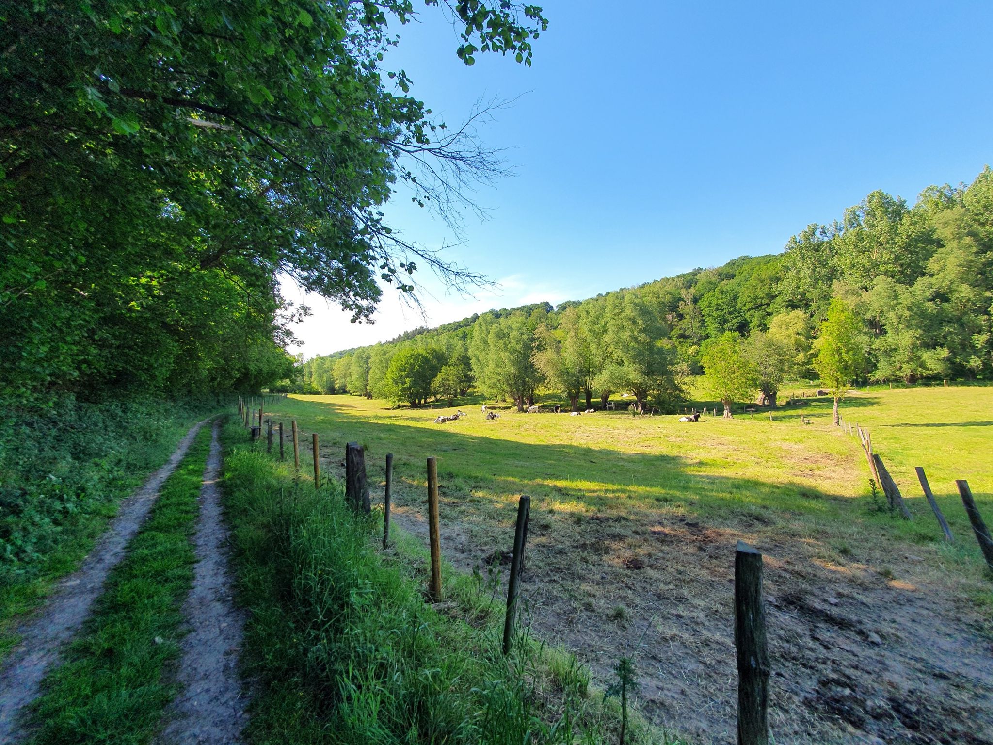
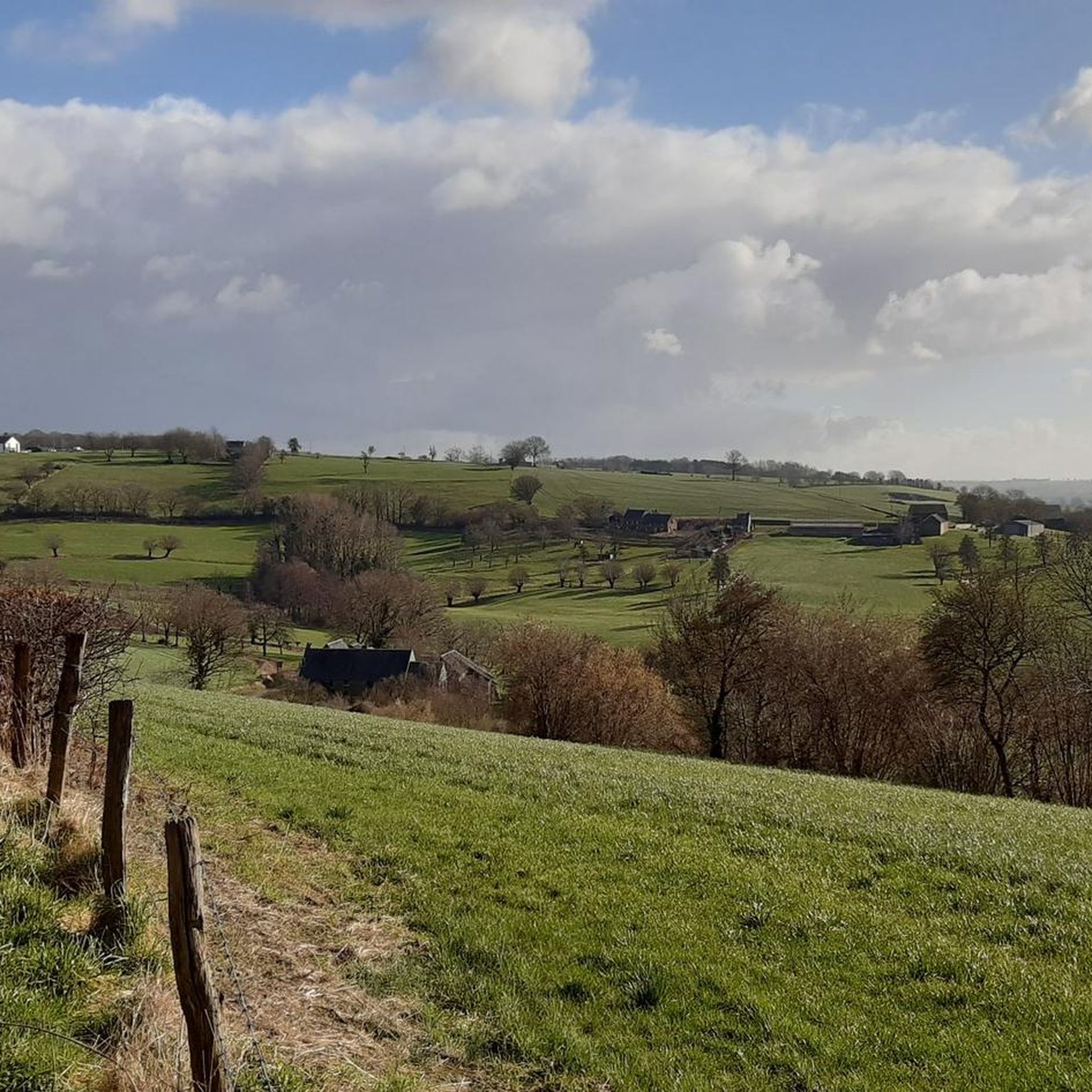
It's a typical Voeren hillside forest with a mix of deciduous trees and humid zones, and together with the surrounding forests, it forms a valuable ecological whole. It is managed by the Agency for Nature and Forests.
9
0

Broekbos is a valuable nature reserve in the Belgian Voer region, known for its rich biodiversity and serene atmosphere. The woodland consists of moist lowlands of old deciduous trees and small streams that together form a natural ecosystem supporting rare plants and animal species. The reserve is a paradise for hikers, birdwatchers, and nature lovers seeking tranquility and an authentic experience of the Voer landscape. The presence of wet grasslands and marshy areas makes Broekbos an important refuge for amphibians, insects, and birds. The walking path through the forest winds past these natural features and offers varied views, from sunny open spaces to densely vegetated, shady areas. Historical features such as old hedgerows and field crosses recall the traditional use of the landscape by the local population.
3
0

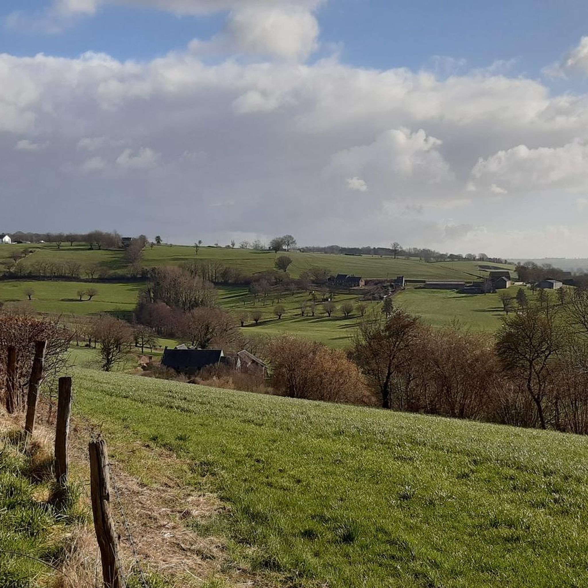
A sloping forest and reserve for old trees, with a beautiful narrow walking path.
10
0

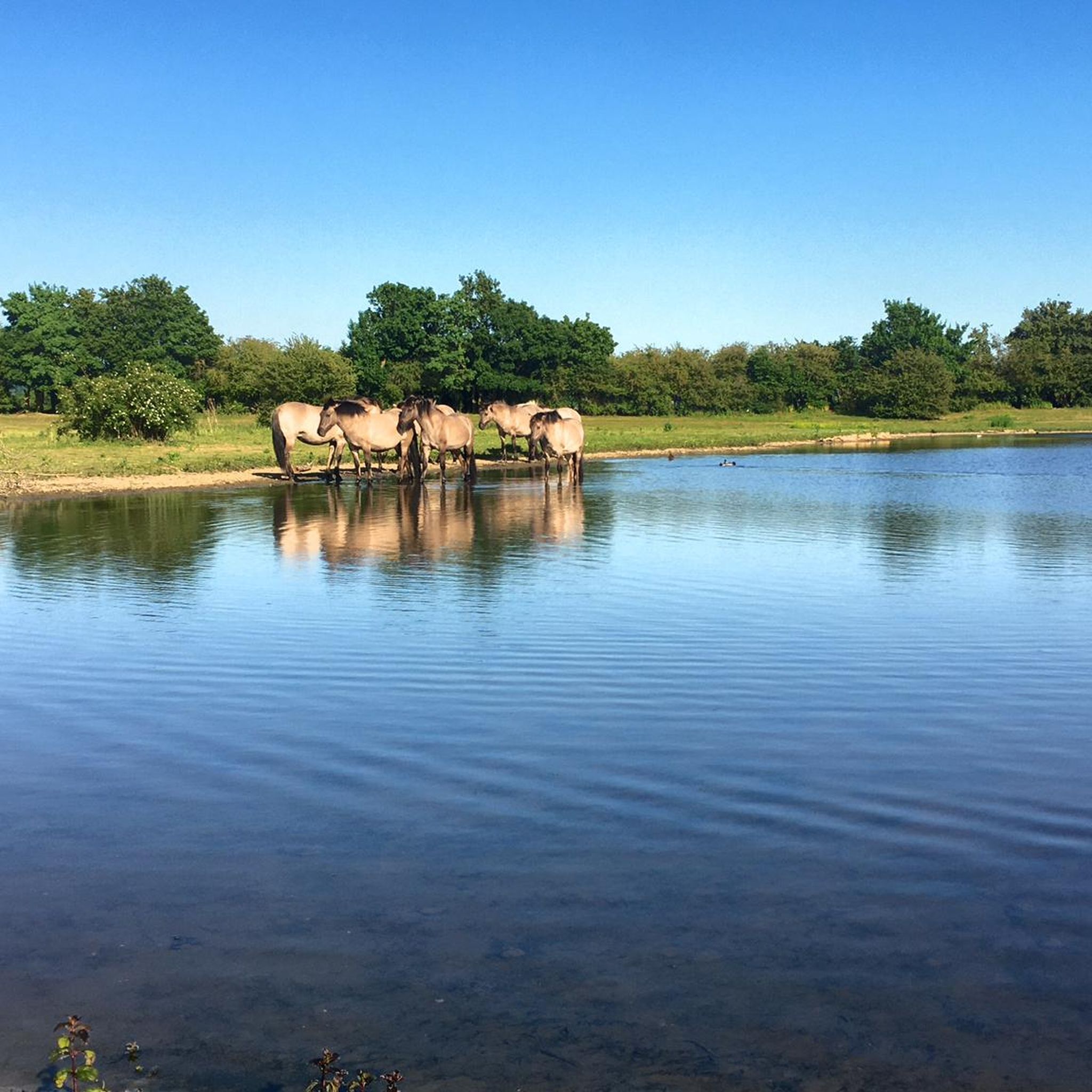
INFO board [nl]: Mill Nekum to Prins Bisschopssingel The Roer en Overmaas water board has widened the Jeker from the Nekum mill to the Prins Bisschopssingel in Maastricht to prevent flooding. The construction of a fish ladder removed the fish migration bottleneck at the mill (until 1930, glaze was ground here to make pottery waterproof). Fish can now easily pass the mill to lay their eggs upstream, among other things. In the Aquadra project, the water board is working across borders with ten water managers in South Limburg and Belgium to further improve water quality and prevent flooding in the catchment areas of the Jeker, Voer, Berwijn and Geul.
2
0

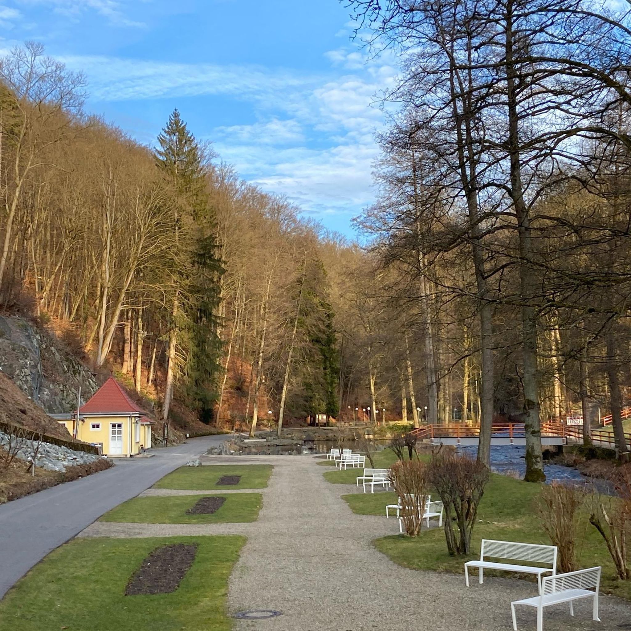
The Geul is an idyllic stream that meanders considerably, or winds through the landscape. Because the Geul flows fast on this part, the water erodes the bank in the outer bends. In the inner bends, the water flows less fast and the sand and mud that has been carried along remains there. In the outer bends, there is a steep bank and in the inner bends a flat bank.
4
0

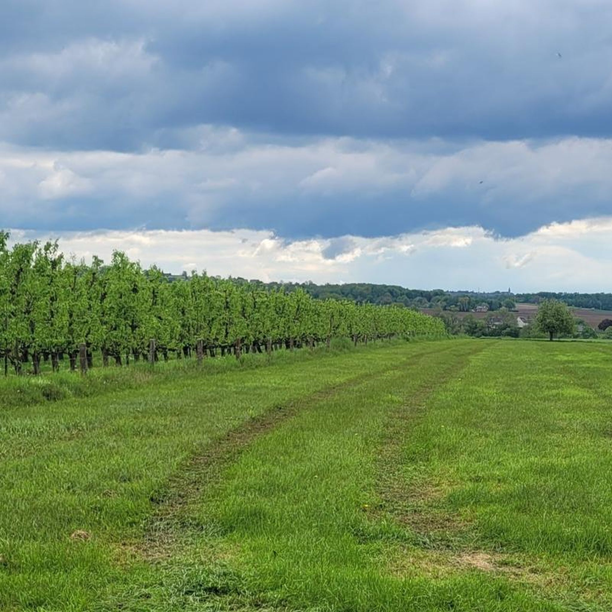
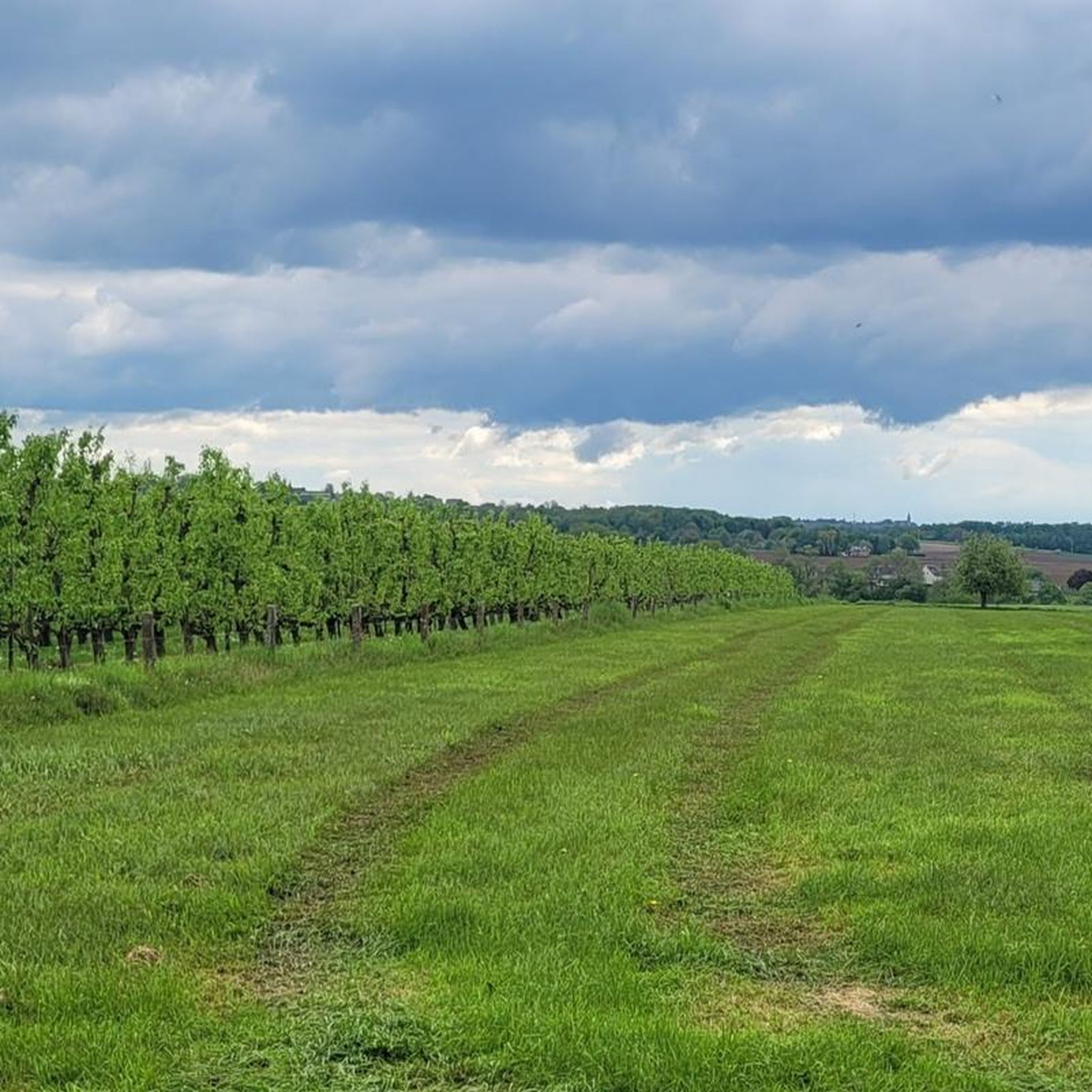
There is a winery behind the bridge. Note that it is not open on Sundays. It is best to research the opening times before the hike.
0
0


komootモバイルアプリでインスピレーションを得よう


さらに探索
これらのガイドで、最高の洞窟を探す範囲を広げましょうダルヘムでの:
