ヨハンジョルゲンシュタットの天然記念物・トップ20
ヨハンジョルゲンシュタットが誇る美しい風景を見てみたいなら、ヨハンジョルゲンシュタットの素晴らしい天然記念物・トップ20
に行ってみましょう。あなたにぴったりの場所が見つかるよう、素晴らしい天然記念物を探索するために必要なすべての情報を集めました。次のアウトドアの冒険に出かける計画の参考にしましょう。
最終更新日: 8月 30, 2026
ブラウエンタールの滝
ハイライト • 滝
"After the First World War, the owner of the Toellische paper factory had a new …
翻訳者 Google •
役立つ情報 は

アイスピンゲ(氷の穴)
ハイライト • 峡谷
翻訳者 Google •
役立つ情報 は

今すぐサインアップして、こんな場所を発見しよう
最高のシングルトラック、ピーク、その他のエキサイティングなアウトドアスポットのおすすめを受け取ろう。
無料新規登録
ヴォルフスピンゲ渓谷
ハイライト • 峡谷
翻訳者 Google •
役立つ情報 は
カールスフェルトダム(ヴィルツシュダム)
ハイライト • 湖
翻訳者 Google •
役立つ情報 は


無料アカウントで今日から始めよう
次の冒険が待っています。
ログインまたは登録
ヨハンジョルゲンシュタット周辺で人気
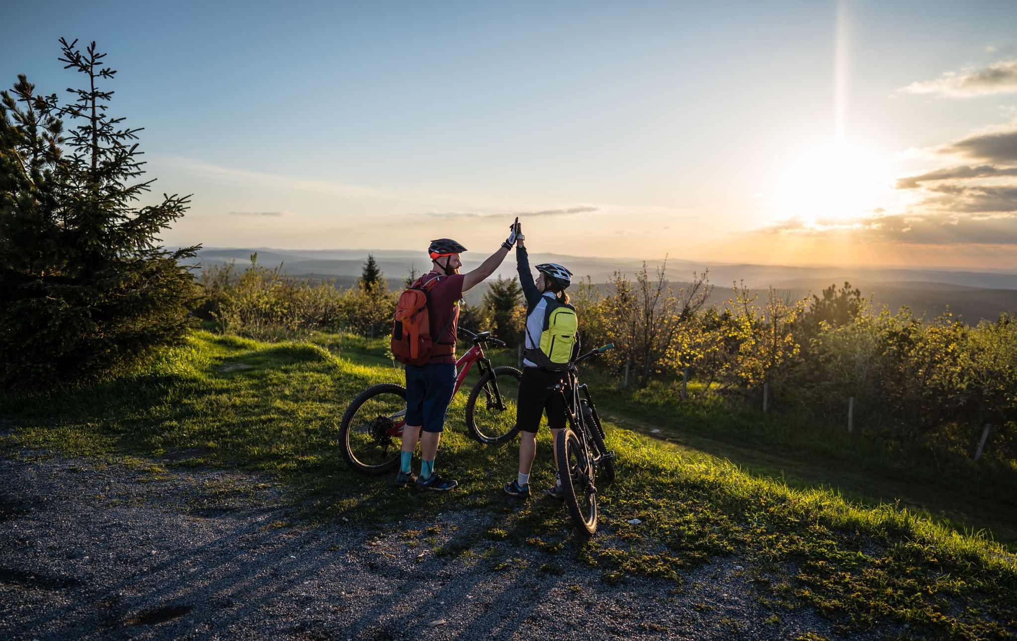
Flying high on two wheels – bike holidays in the Ore Mountains

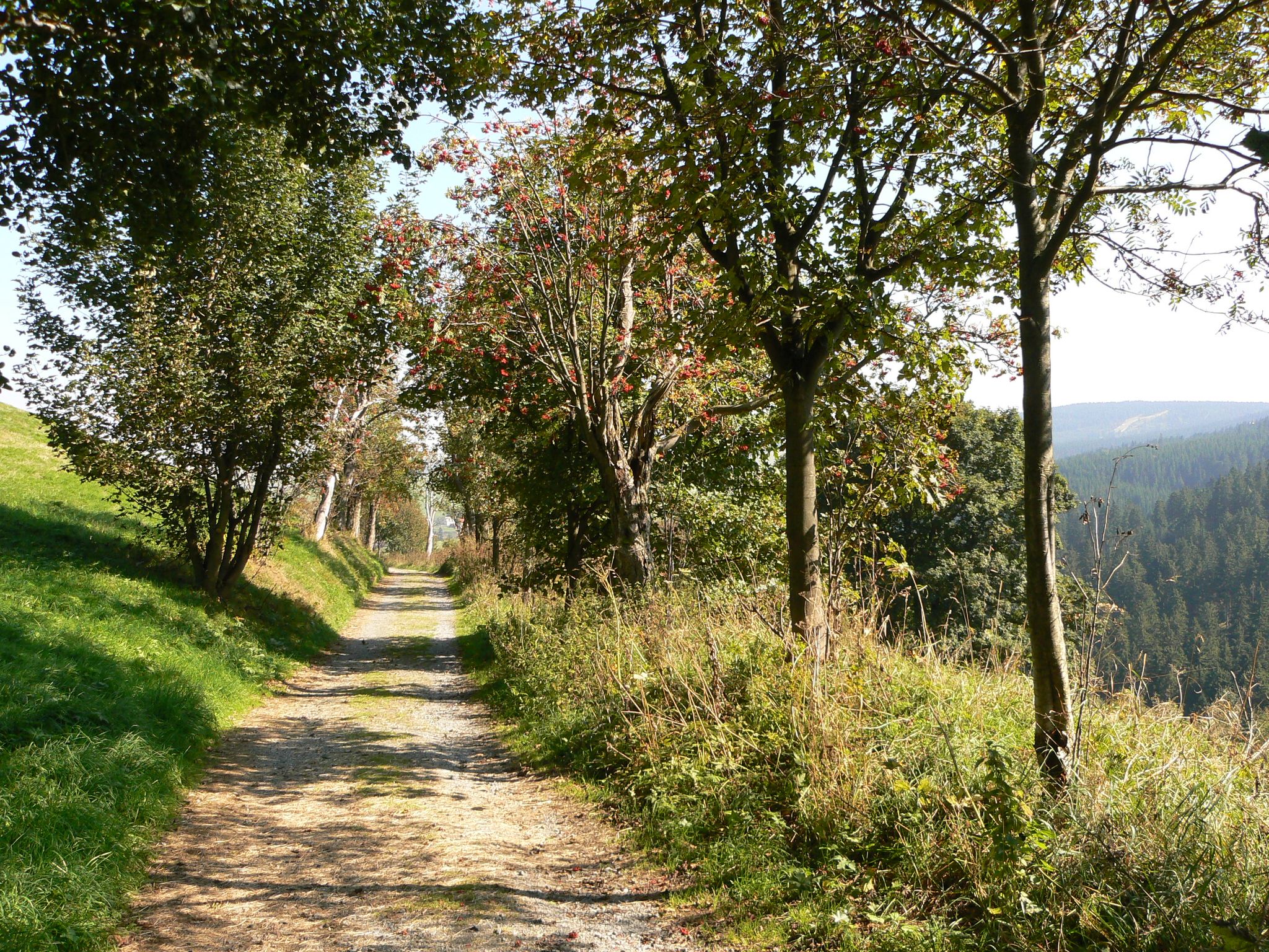
歴史と自然が出会う – エルツゲビルゲ=フォークトラント尾根道
The Anton-Günther-Trail — a long weekend in the Ore Mountains
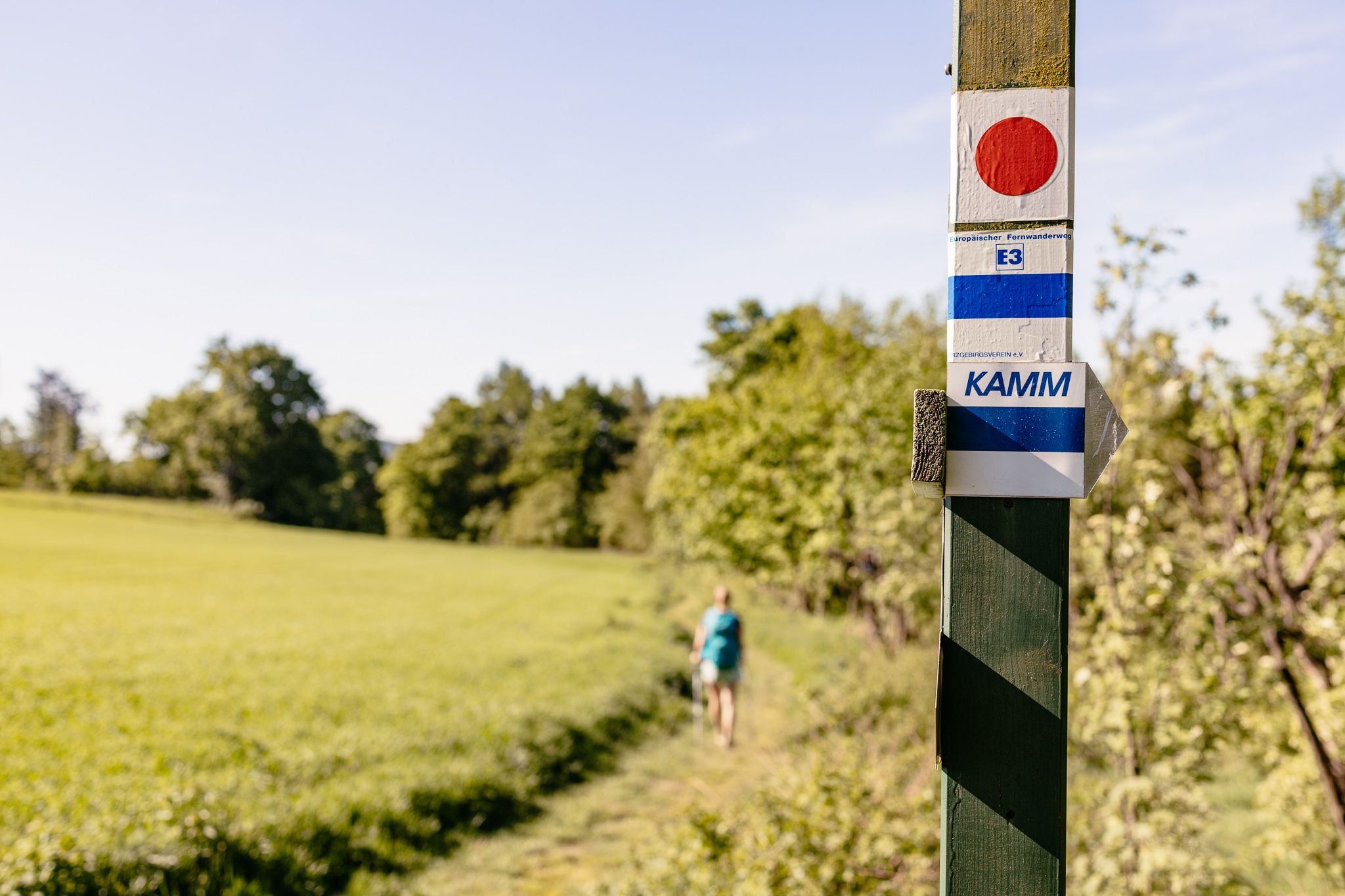
Der Kammweg Erzgebirge-Vogtland aus Sicht einer Bloggerin
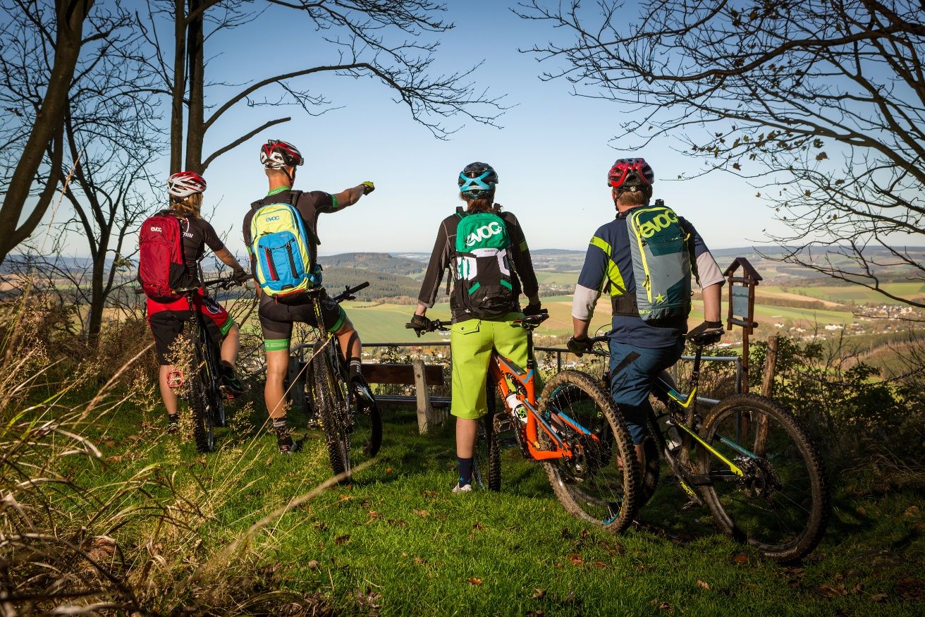
Stoneman Miriquidi MTB Gesamtstrecke (3 Tage - Bronze)
Wandertouren - Handwerk & Heimatgenuss
Wandertouren - Flusstäler & Talsperren
ヨハンジョルゲンシュタットでのハイキング
ヨハンジョルゲンシュタットでのサイクリング
ヨハンジョルゲンシュタットのMTBトレイル
ヨハンジョルゲンシュタットでのの他の冒険


コミュニティからのヒント

The Sosa Dam is a dam in the Free State of Saxony. It serves to supply drinking water to the western Ore Mountains and to provide flood protection. The dam was built between 1949 and 1952 in the Höllengrund valley south of Sosa, which has been part of the town of Eibenstock since 2011, in the Ore Mountains, and was finally put into operation in 1952.
4
0

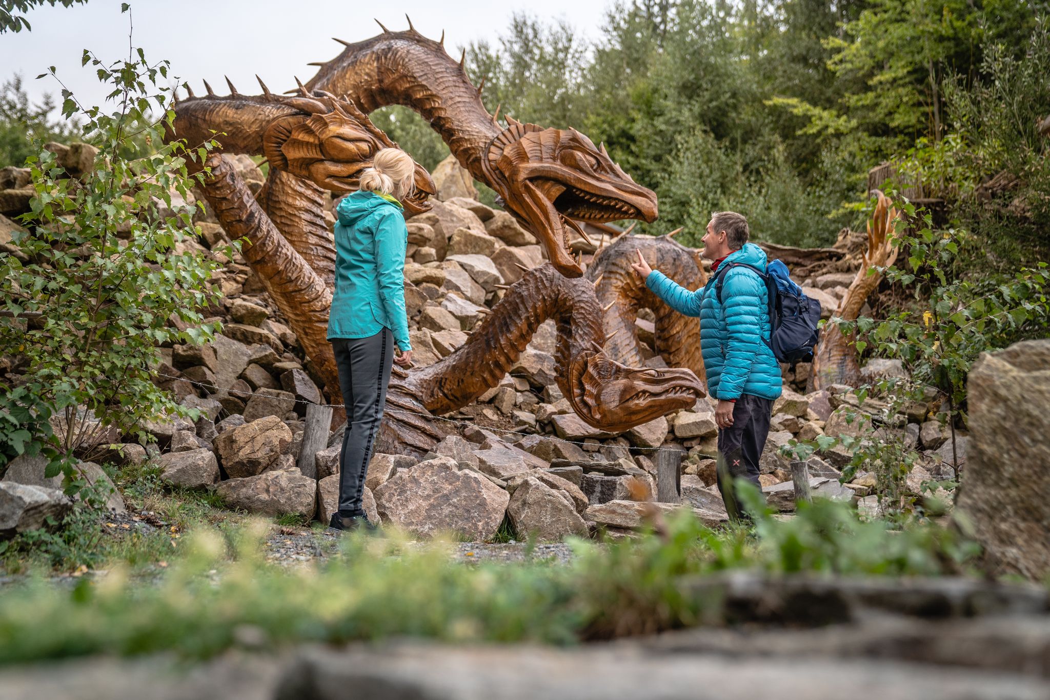
The Wolfspinge is a collapsed historic ore mine just below the summit of the Plattenberg. A fascinating geo- and biotope (together with the neighboring Eispinge)
2
0

☆ The construction time is remarkable... 👍
4
0

The Wolfsbinge is a collapsed tunnel from the tin mining industry. The Eisbinge is narrower and 20 m deep.
2
0

The largest waterfall in Saxony and one of the highest German waterfalls outside the Alps is located in the immediate vicinity of Blauenthal. This former site of a flour and board mill was bought by Andreas Blau around 1530 and converted into a hammer mill. After the First World War, the owner of the paper factory had a new ditch dug above a steep rock face in order to use the water to drive his turbines. On Sundays and public holidays, the machines stood still and the water rushed down into the valley.
11
1

The Talperre Sosa barrier wall is the last quarry stone wall built in Germany. The quarry stone masonry of the dam body is made of granite. This granite was quarried in the nearby quarry. The Maxhütte in Unterwellenborn developed a special mixed binder "Sosa - special binder" for the construction of the dam wall. Source: http://www.sosa-online.de/Talsperre.html
3
0
The dam wall of the Carlsfeld dam is a listed building. The curved gravity dam wall made of rubble stone is 195 meters long and up to 20 meters wide at the base. Its height above the foundation base is almost 32 meters. The dam axis has a radius of 160 meters. Source: https://www.wasserwirtschaft.sachsen.de/TS_Carlsfeld.html?_cp=%7B%22accordion-content-13266%22%3A%7B%222%22%3Atrue%2C%223%22%3Atrue%7D%2C%22previousOpen%22%3A%7B%22group%22%3A%22accordion-content-13266%22%2C%22idx%22%3A3%7D%7D
4
0
ヨハンジョルゲンシュタットでのの人気ルート
ヨハンジョルゲンシュタットでのの人気観光スポット

komootモバイルアプリでインスピレーションを得よう


さらに探索
これらのガイドで、最高の洞窟を探す範囲を広げましょうヨハンジョルゲンシュタットでの:
