ケルクハイムのおすすめウォーキング&ハイキングルート
4.5
(3798)
16,006
ハイカー
291
ハイキング
ケルクハイム周辺のハイキングでは、木々が生い茂るエリア、なだらかな丘、豊かな生物多様性が特徴のタウヌス山脈の多様な景観にアクセスできます。この地域は、静かな森の小道と、周囲の谷や広範なライン=マイン地域のパノラマビューが融合しています。多くのルートには自然の景観や、様々なアウトドアアクティビティに適した手入れの行き届いた小道があります。
ケルクハイム周辺のベストハイキングトレイル
- 最も人気のあるハイキングルートは、ケルクハイム(タウヌス)発の シュタウフェン頂上ケルン – エッペシュタインの皇帝神殿ループ です。このルートは7.7マイル(12.4 km)で、所要時間は3時間42分です。この適度な難易度のルートは、頂上のケルン、歴史的な神殿、エッペシュタインの町を結んでいます。
- 地元のハイカーに人気のもう一つのルートは、クレプスバッハタール・バイ・ルパートスハイム発の レッターショーフ駐車場 – 陽気な農夫ループ です。これは3.4マイル(5.4 km)の簡単なコースです。この短いルートは、レッターショーフ近くの地元の風景を楽しく散策できます。
- 地元のハイカーに愛されているのは、ケルクハイム(タウヌス)発の グローサー・マンンシュタイン近くのパビリオン – シュタウフェン頂上ケルンループ です。この5.3マイル(8.6 km)のルートは、森やパノラマビューポイントを通り抜け、所要時間は約2時間31分です。
- ケルクハイム周辺のハイキングは、タウヌス山脈、緑豊かな森、開けた草原へのアクセスが特徴です。このネットワークは、簡単なファミリーウォークから、かなりの標高差のあるより挑戦的なルートまで、様々なレベルのオプションを提供しています。
- ケルクハイムのルートは、3,300件以上のレビューから平均4.6つ星という高い評価をkomootコミュニティから受けています。15,600人以上のハイカーがkomootを利用して、ケルクハイムの多様な地形を探索しています。
最終更新日: 10月 12, 2026
4.6
(158)
489
ハイカー
11.1km
03:11
260m
260m
中程度のハイキング. ある程度のフィットネスレベルが必要です。 進みやすいルートです。あらゆるスキルレベルに適しています。
4.8
(831)
2,349
ハイカー
12.0km
03:36
400m
400m
中程度のハイキング. ある程度のフィットネスレベルが必要です。 全般的に進みやすいルートです。安定して歩行できる技術が必要です。

4.6
(114)
537
ハイカー
5.40km
01:28
80m
80m
初級者向けハイキング. あらゆるフィットネスレベルに適しています。 進みやすいルートです。あらゆるスキルレベルに適しています。
4.8
(96)
378
ハイカー
8.56km
02:31
250m
250m
中程度のハイキング. ある程度のフィットネスレベルが必要です。 進みやすいルートです。あらゆるスキルレベルに適しています。
4.7
(317)
972
ハイカー
19.7km
05:50
590m
590m
難しいハイキング. 標準以上のフィットネスレベルが必要です。 全般的に進みやすいルートです。安定して歩行できる技術が必要です。
さらに多くのルートや他のユーザーのおすすめ情報を確認できます。
すでにアカウントをお持ちですか?
おすすめのツアーは他のkomootユーザーが実際に経験した何千ものアクティビティに基づいています。
無料アカウントで今日から始めよう
次の冒険が待っています。
ケルクハイム周辺で人気

Delightfully scenic hiking in the Taunus range
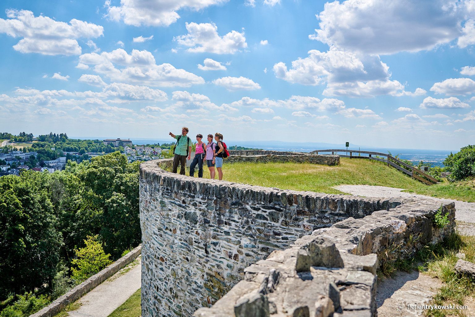
Experience nature and culture — hiking in Germany’s Taunus region
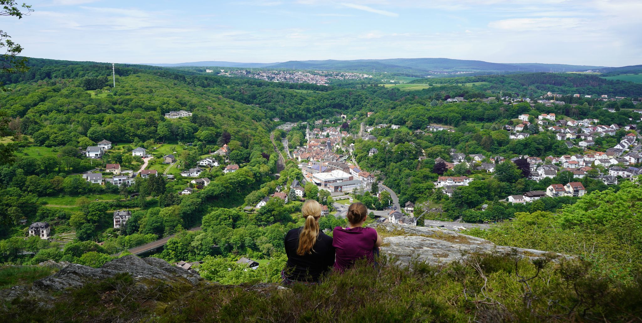
Exploring nature — hikes in Germany’s Taunus Mountains
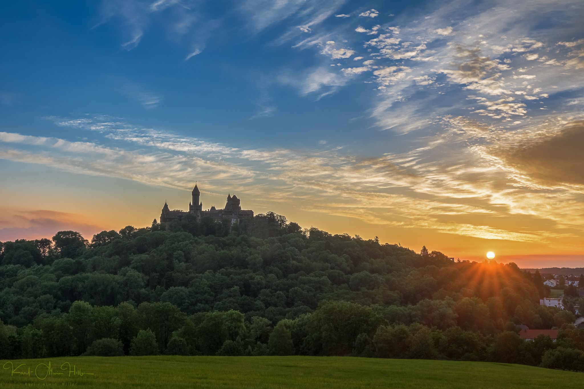
A journey through time – the most beautiful routes in the Taunus Nature Park
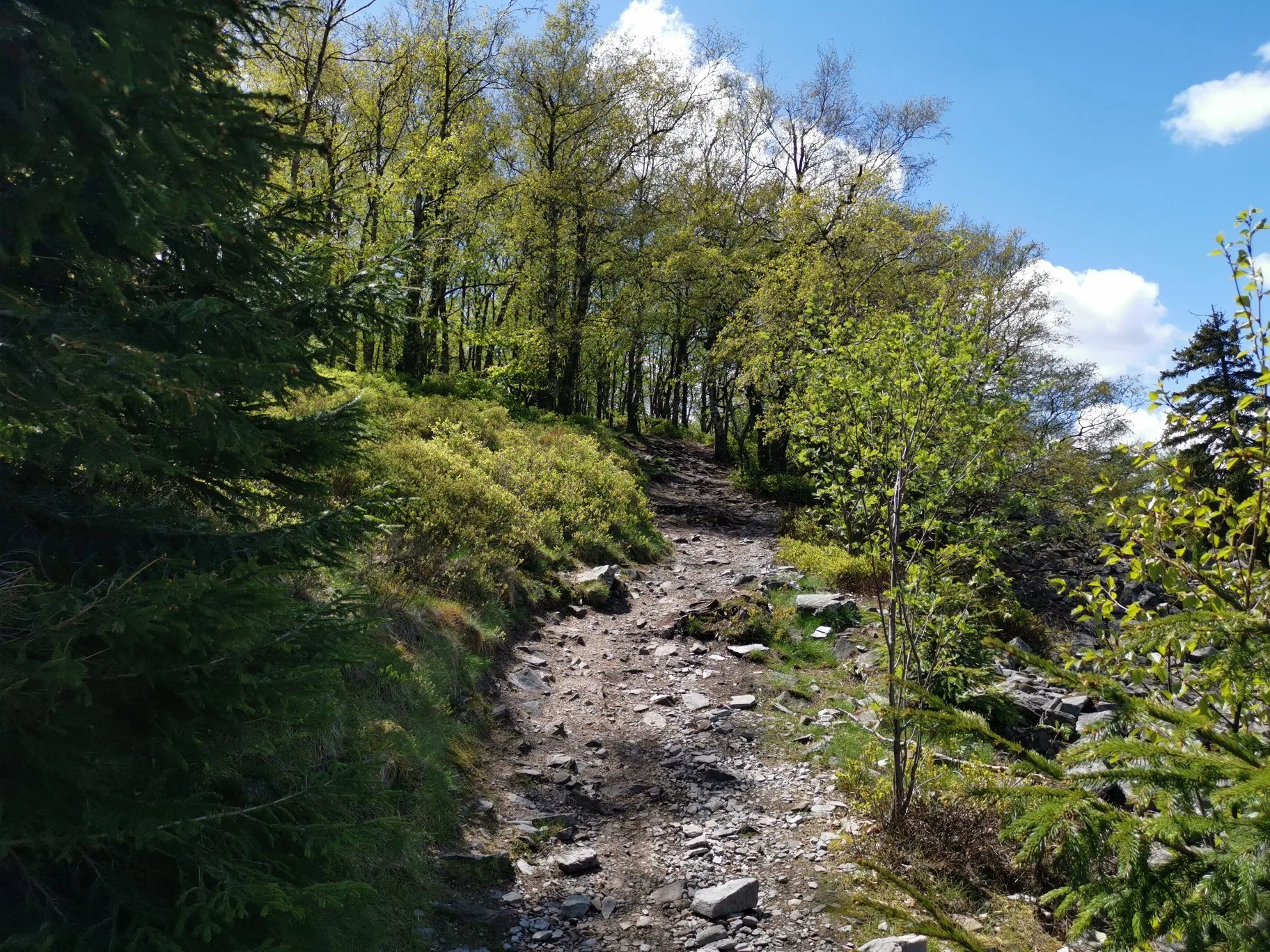
フランクフルトの近くの秋のハイキング
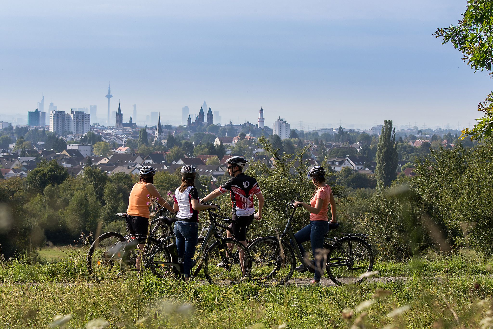
From safari to world heritage — cycling tours in the Taunus region
Stadt aus, Natur an im Rhein-Main-Gebiet – Mit Magnesium-Diasporal®
ケルクハイムでのサイクリング
ケルクハイムのランニングコース
ケルクハイムのロードバイクルート


コミュニティからのヒント

非常に牧歌的です。残念ながら、現在いくつかの丸太が小道に横たわっています。
0
0


シュナイデインからは城跡の素晴らしい眺めが楽しめます。見る価値のある光景です。
1
0

タウヌスクォルツァイトは、約4億年前の下部デボン紀に砂の堆積物から形成された、非常に硬く風化に強い岩石です。周囲の頁岩よりもはるかに耐久性があるため、タウヌス山脈の「背骨」を形成し、エシュバッハー・クリッペンなどの顕著な岩石層でこの山脈の最高峰を形作っています。主に明るい灰色から白っぽいこの岩石は、その堅牢性から、今日では主に道路建設、鉄道の砂利、またはガラス産業に利用されています。
5
0
The tower at the ringfort stands at the top of a meadow slope northwest of Lorsbach. From there, one has a panoramic view over Lorsbach and the Lorsbach Valley. The tower takes its name from the Alteburg rampart located further up the hilltop. The wooden tower is 8.60 meters high. The viewing platform is at a height of 4.50 meters. The tower and the surrounding area are owned by the Lorsbach Local History Society. It was built according to plans by the late society member Emanuel Winkelmann. The tower was inaugurated on December 18, 2005. The tower at the ringfort is a popular destination for hikers and walkers. It is also easily accessible from Langenhain and Eppstein via hiking trails. The shortest route there leads from Lorsbach along the Alteburgweg trail.
14
1
Up here from the big Mannstein you have a wonderful view
16
0


komootモバイルアプリでインスピレーションを得よう


さらに探索
他の地域の最高のハイキングを見てみましょう。
