エップシュタインのおすすめウォーキング&ハイキングルート
4.5
(3870)
16,884
ハイカー
237
ハイキング
エップシュタイン 周辺でおすすめのハイキングやウォーキングを楽しんでいただけるように、このエリアの小径やルートを集めたkomootコレクション全体を見直しました。 以下で各ルートの詳細をご覧になり、エップシュタイン周辺の大自然を満喫する際の参考にしてください。
最終更新日: 9月 28, 2026
4.5
(93)
305
ハイカー
21.6km
06:13
550m
540m
難しいハイキング. 標準以上のフィットネスレベルが必要です。 進みやすいルートです。あらゆるスキルレベルに適しています。
4.4
(248)
707
ハイカー
中程度のハイキング. ある程度のフィットネスレベルが必要です。 進みやすいルートです。あらゆるスキルレベルに適しています。

4.8
(290)
870
ハイカー
16.4km
04:51
490m
490m
中程度のハイキング. ある程度のフィットネスレベルが必要です。 全般的に進みやすいルートです。安定して歩行できる技術が必要です。
4.5
(123)
531
ハイカー
10.0km
02:53
240m
240m
中程度のハイキング. ある程度のフィットネスレベルが必要です。 進みやすいルートです。あらゆるスキルレベルに適しています。
4.5
(81)
250
ハイカー
7.95km
02:41
340m
340m
中程度のハイキング. ある程度のフィットネスレベルが必要です。 全般的に進みやすいルートです。安定して歩行できる技術が必要です。
さらに多くのルートや他のユーザーのおすすめ情報を確認できます。
すでにアカウントをお持ちですか?
おすすめのツアーは他のkomootユーザーが実際に経験した何千ものアクティビティに基づいています。
無料アカウントで今日から始めよう
次の冒険が待っています。
エップシュタイン周辺で人気

Orchards, vineyards, taverns – hikes in the RMV area
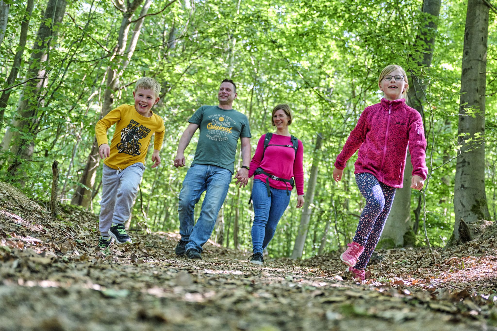
The journey is the adventure – hikes in Germany’s Taunus Mountains
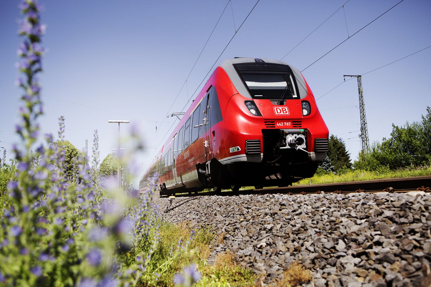
Into the countryside! — hike with Germany’s Rhine-Main Transport Network
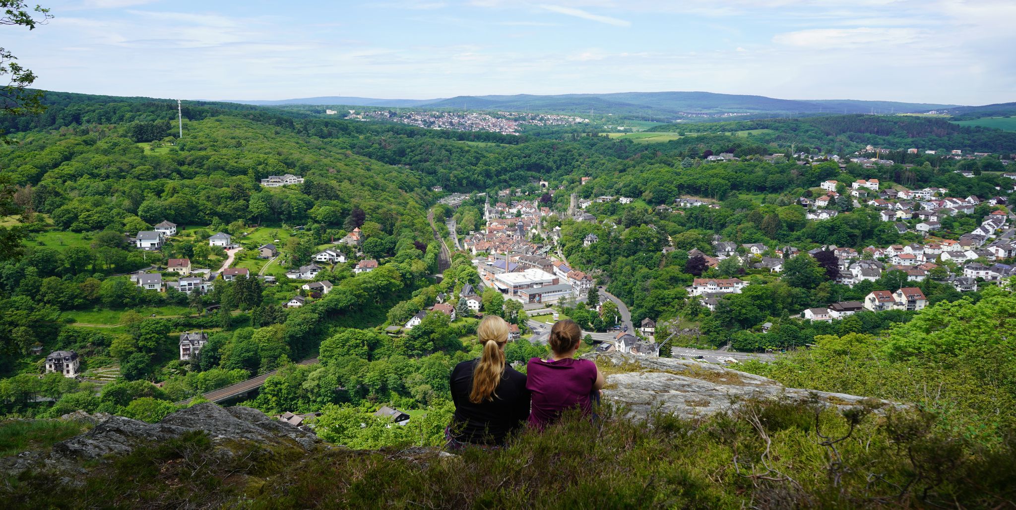
Exploring nature — hikes in Germany’s Taunus Mountains
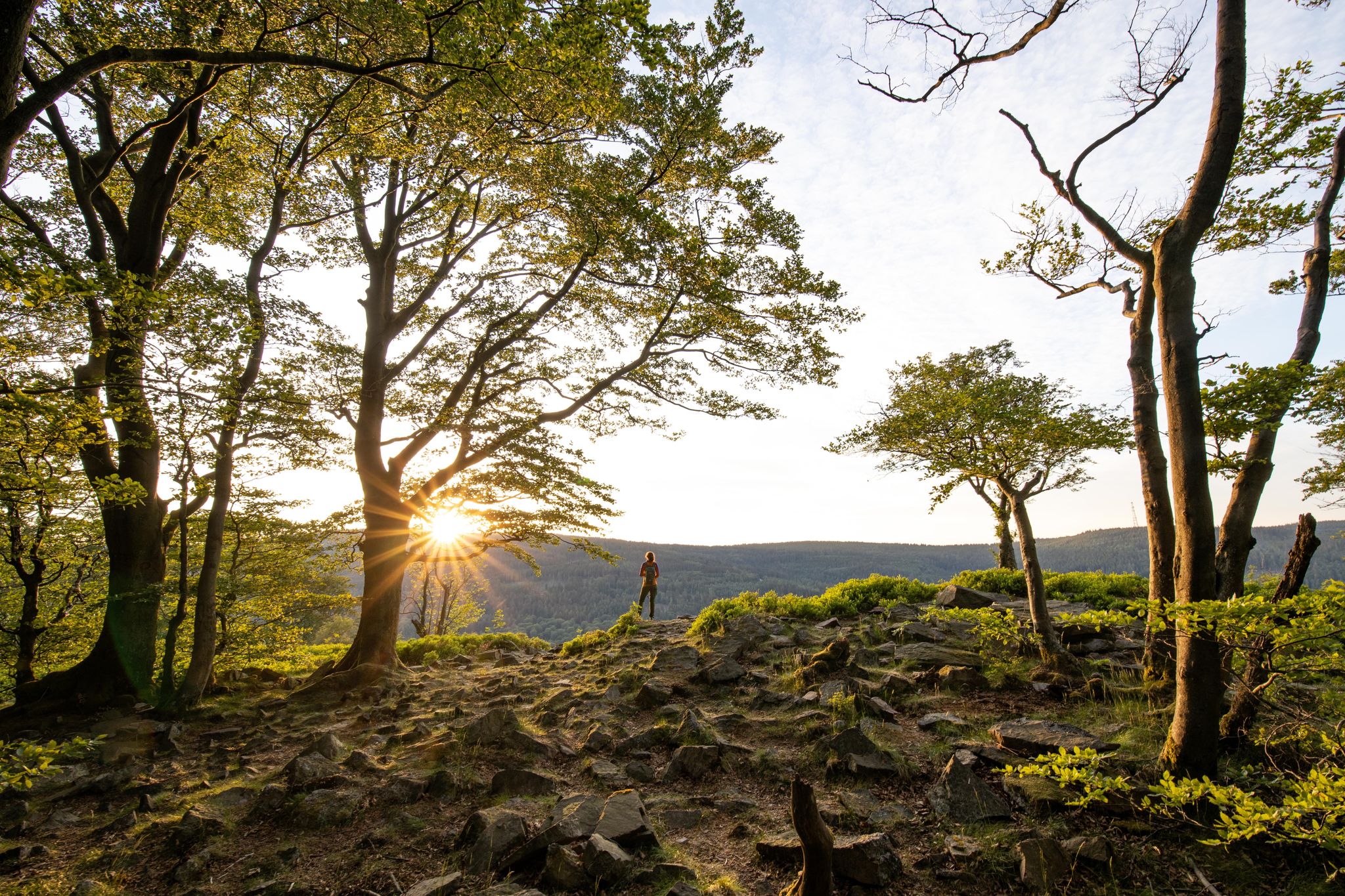
Deep valleys and airy heights – the most beautiful hikes in the Taunus in Germany

By bike and train into the green - cycling Tours around the EUROBIKE
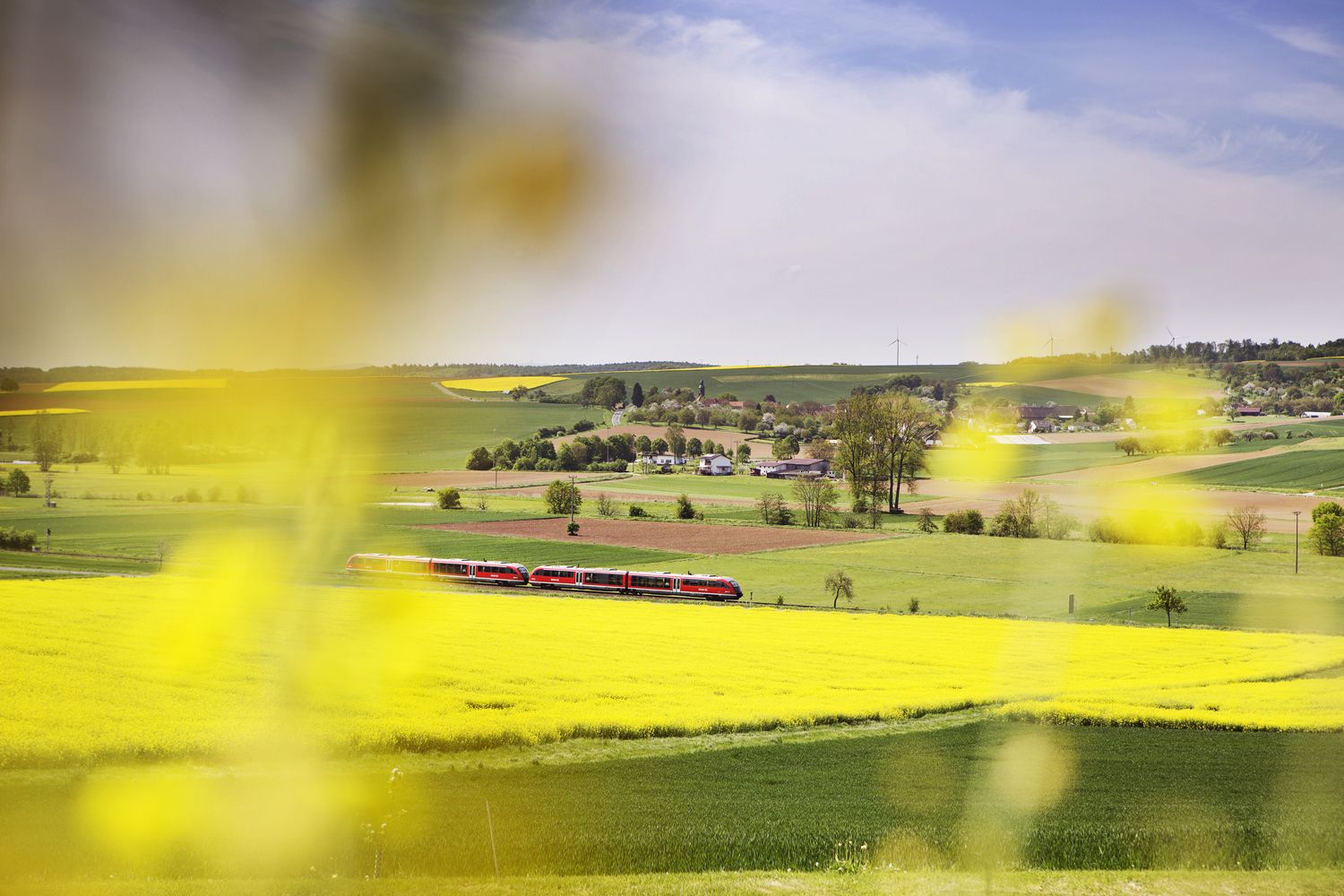
Valleys, meadows, forests — cycling bliss with Germany’s Rhine-Main Transport Network
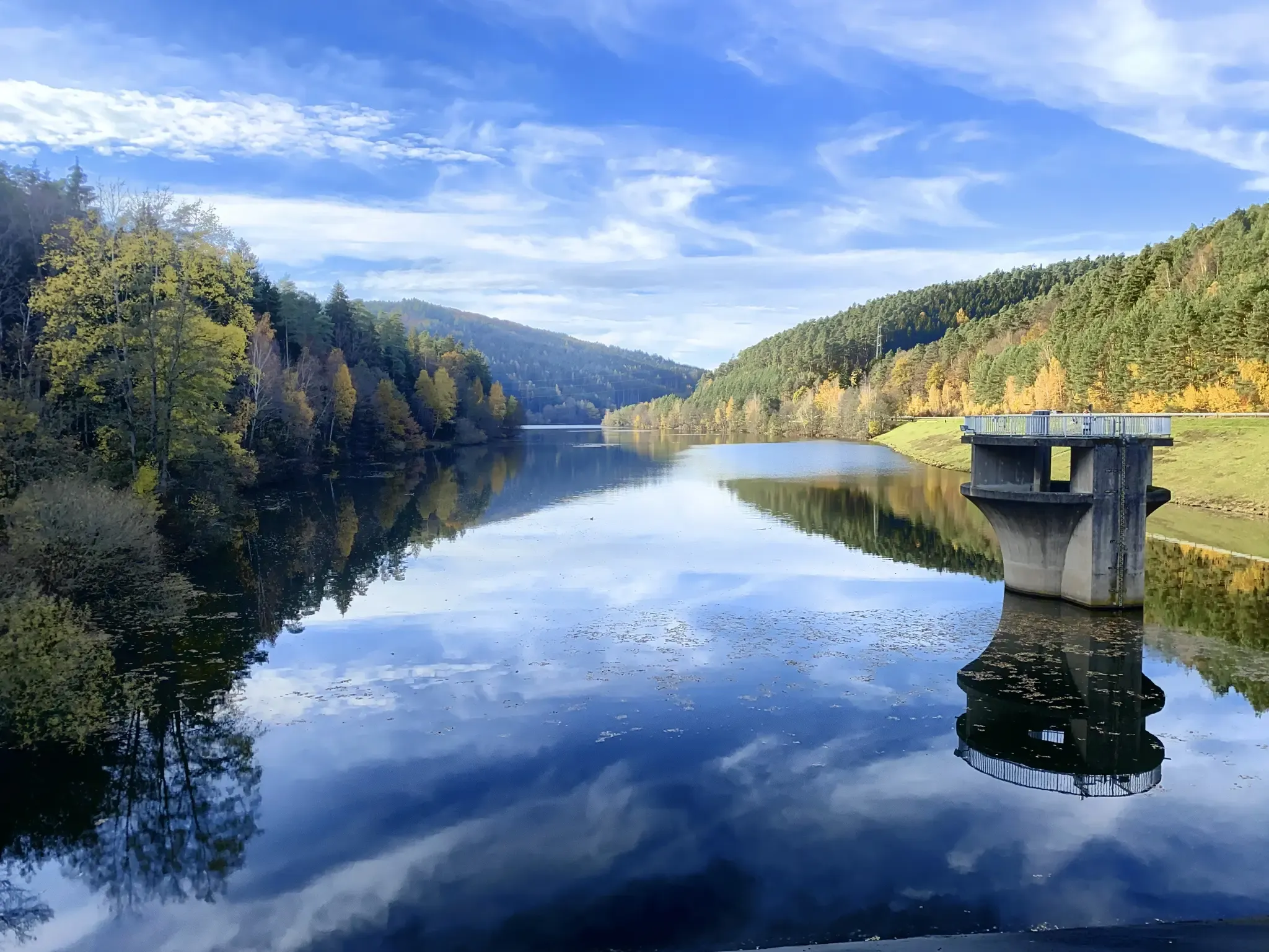
Mit Rosbacher auf Tour im Rhein-Main-Gebiet
エップシュタインでのサイクリング
エップシュタインのランニングコース
エップシュタインでのの他の冒険


コミュニティからのヒント

営業時間を必ず確認する必要があるKastanienhofを除き、ルート上に休憩場所はありません。 Regiomaten(Dattenbachstrasse EhlhaltenおよびNiederjosbach Parkplatz、駅のすぐ手前の左側)の標識があれば、もっと良いでしょう。
0
0

タウヌスクォルツァイトは、約4億年前の下部デボン紀に砂の堆積物から形成された、非常に硬く風化に強い岩石です。周囲の頁岩よりもはるかに耐久性があるため、タウヌス山脈の「背骨」を形成し、エシュバッハー・クリッペンなどの顕著な岩石層でこの山脈の最高峰を形作っています。主に明るい灰色から白っぽいこの岩石は、その堅牢性から、今日では主に道路建設、鉄道の砂利、またはガラス産業に利用されています。
5
0
Source & Course: The Silberbach stream rises in the High Taunus mountains near Schloßborn (municipality of Glashütten). From there, it flows southeast through the wooded Silberbach Valley. Mouth: It flows into the Schwarzbach stream, which in its upper reaches, up to its confluence with the Daisbach stream in Eppstein, is often still referred to as the Dattenbach. The mouth of the Schwarzbach lies between Glashütten-Schloßborn and Eppstein-Vockenhausen. Special Features: The Silberbach Valley is considered ecologically valuable and is managed by the BUND (Friends of the Earth Germany) Königstein-Glashütten branch. The name may historically suggest a stony streambed or former mining attempts. Recreation: A popular hiking trail is the Silberbach Loop, which leads from Dattenbach Valley, passing, among other things, the Atzelberg Tower.
8
1
The tower at the ringfort stands at the top of a meadow slope northwest of Lorsbach. From there, one has a panoramic view over Lorsbach and the Lorsbach Valley. The tower takes its name from the Alteburg rampart located further up the hilltop. The wooden tower is 8.60 meters high. The viewing platform is at a height of 4.50 meters. The tower and the surrounding area are owned by the Lorsbach Local History Society. It was built according to plans by the late society member Emanuel Winkelmann. The tower was inaugurated on December 18, 2005. The tower at the ringfort is a popular destination for hikers and walkers. It is also easily accessible from Langenhain and Eppstein via hiking trails. The shortest route there leads from Lorsbach along the Alteburgweg trail.
14
1

Here you can enjoy the unobstructed views.
1
0
Here is the Atzelberg Tower! It is now made of metal, after it burned down twice from wood.
7
2
The view from the tower is truly magnificent
11
3

komootモバイルアプリでインスピレーションを得よう


さらに探索
他の地域の最高のハイキングを見てみましょう。
