ケルクハイムのおすすめライド
4.5
(1460)
26,545
ライダー
25
ライド
ケルクハイム周辺でのロードバイクライドをお考えですか?komootはケルクハイム周辺のあらゆるロードバイクライドを評価し、人気ルートを厳選しました。ケルクハイム周辺の各ロードバイクルートの詳細をご覧になり、自分に合ったルートを見つけてください。
最終更新日: 9月 21, 2026
4.7
(34)
530
ライダー
54.5km
02:51
960m
960m
難しいロードライド. 標準以上のフィットネスレベルが必要です。 全般的に舗装状態が良好で走行しやすい道です。
4.3
(24)
215
ライダー
44.4km
01:58
190m
190m
中程度のロードライド. あらゆるフィットネスレベルに適しています。 ツアーの一部に、未舗装のため走行が難しい箇所があるかもしれません。

4.7
(6)
83
ライダー
31.0km
01:37
520m
520m
中程度のロードライド. ある程度のフィットネスレベルが必要です。 全般的に舗装状態が良好で走行しやすい道です。
5.0
(2)
66
ライダー
38.4km
01:41
220m
220m
初級者向けロードバイクライド. あらゆるフィットネスレベルに適しています。 全般的に舗装状態が良好で走行しやすい道です。
5.0
(3)
57
ライダー
29.4km
01:12
130m
130m
初級者向けロードバイクライド. あらゆるフィットネスレベルに適しています。 全般的に舗装状態が良好で走行しやすい道です。
さらに多くのルートや他のユーザーのおすすめ情報を確認できます。
すでにアカウントをお持ちですか?
おすすめのツアーは他のkomootユーザーが実際に経験した何千ものアクティビティに基づいています。
無料アカウントで今日から始めよう
次の冒険が待っています。
ケルクハイム周辺で人気

Delightfully scenic hiking in the Taunus range
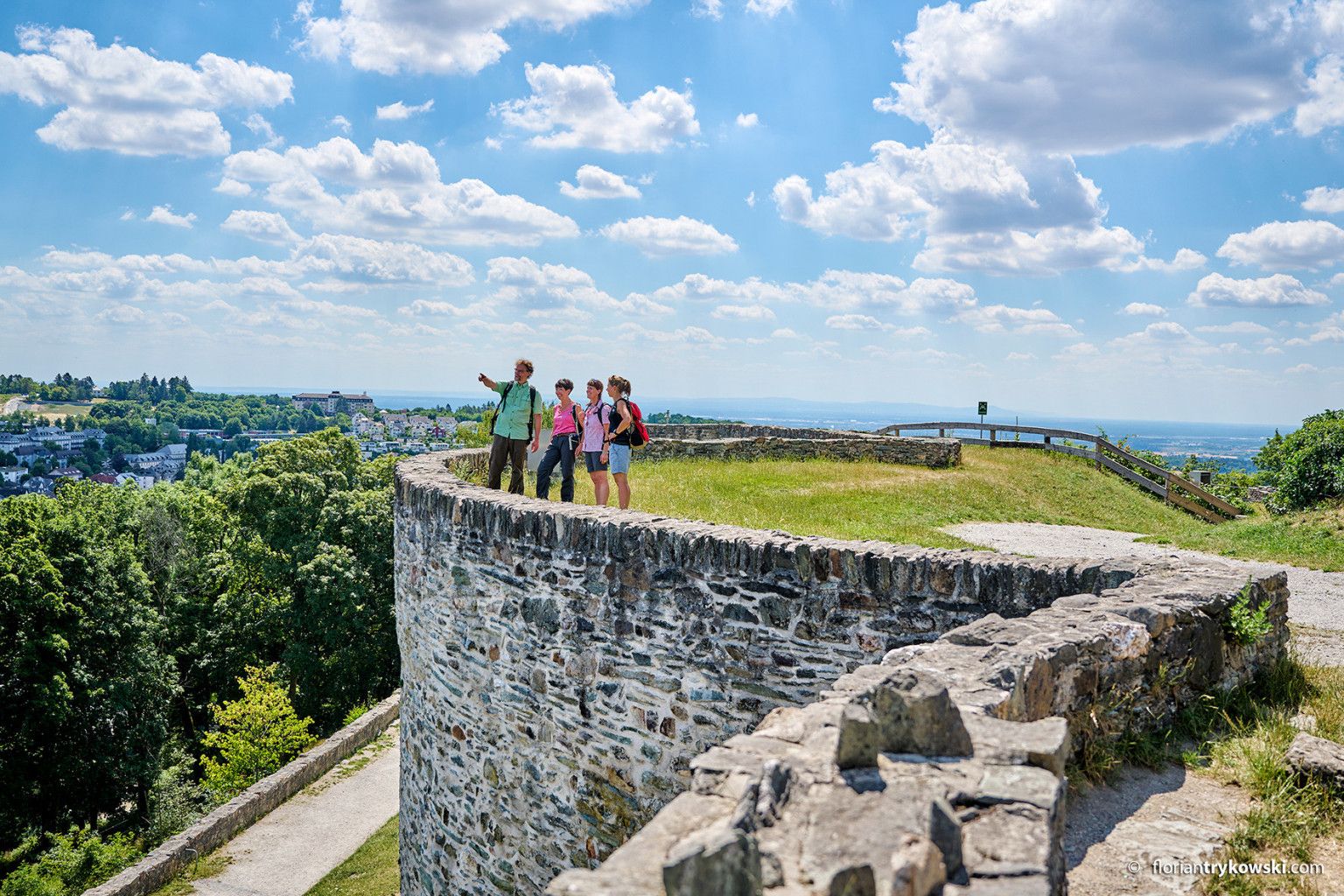
Experience nature and culture — hiking in Germany’s Taunus region
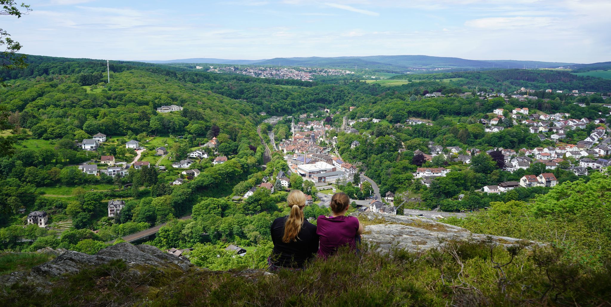
Exploring nature — hikes in Germany’s Taunus Mountains
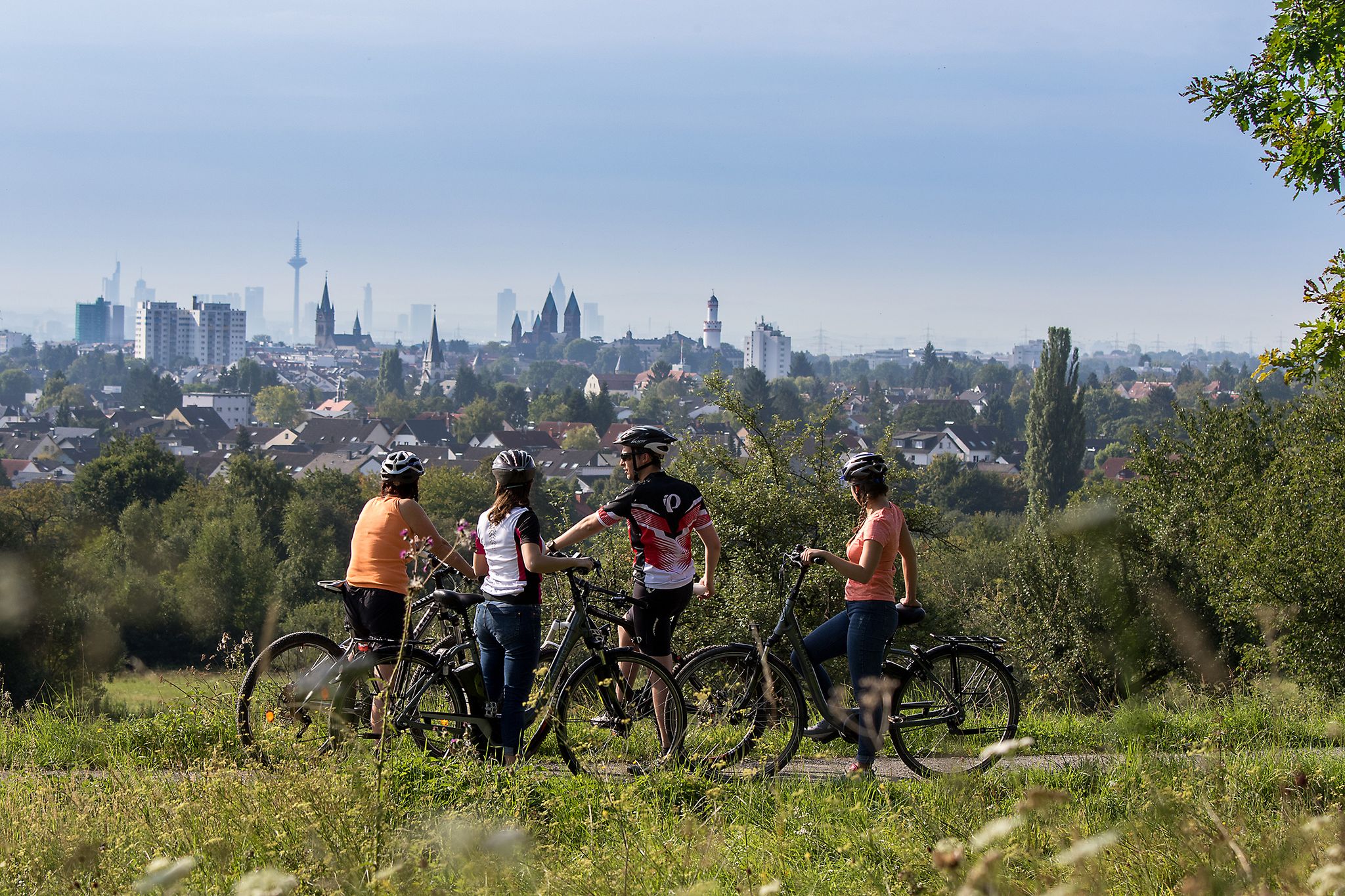
From safari to world heritage — cycling tours in the Taunus region
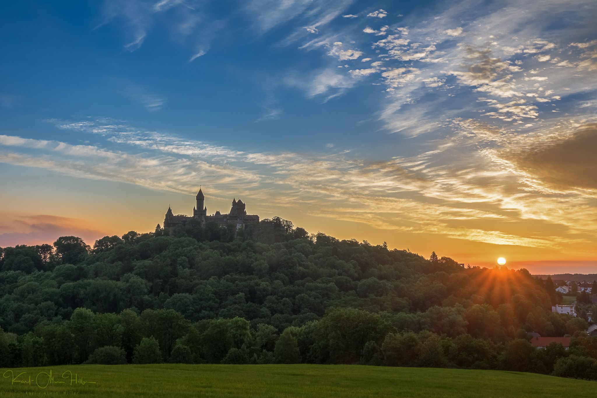
A journey through time – the most beautiful routes in the Taunus Nature Park
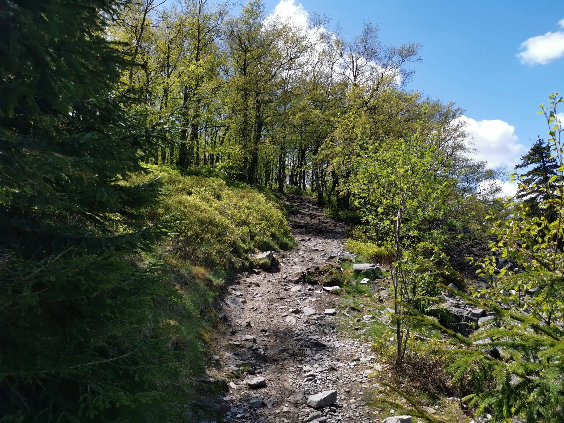
フランクフルトの近くの秋のハイキング
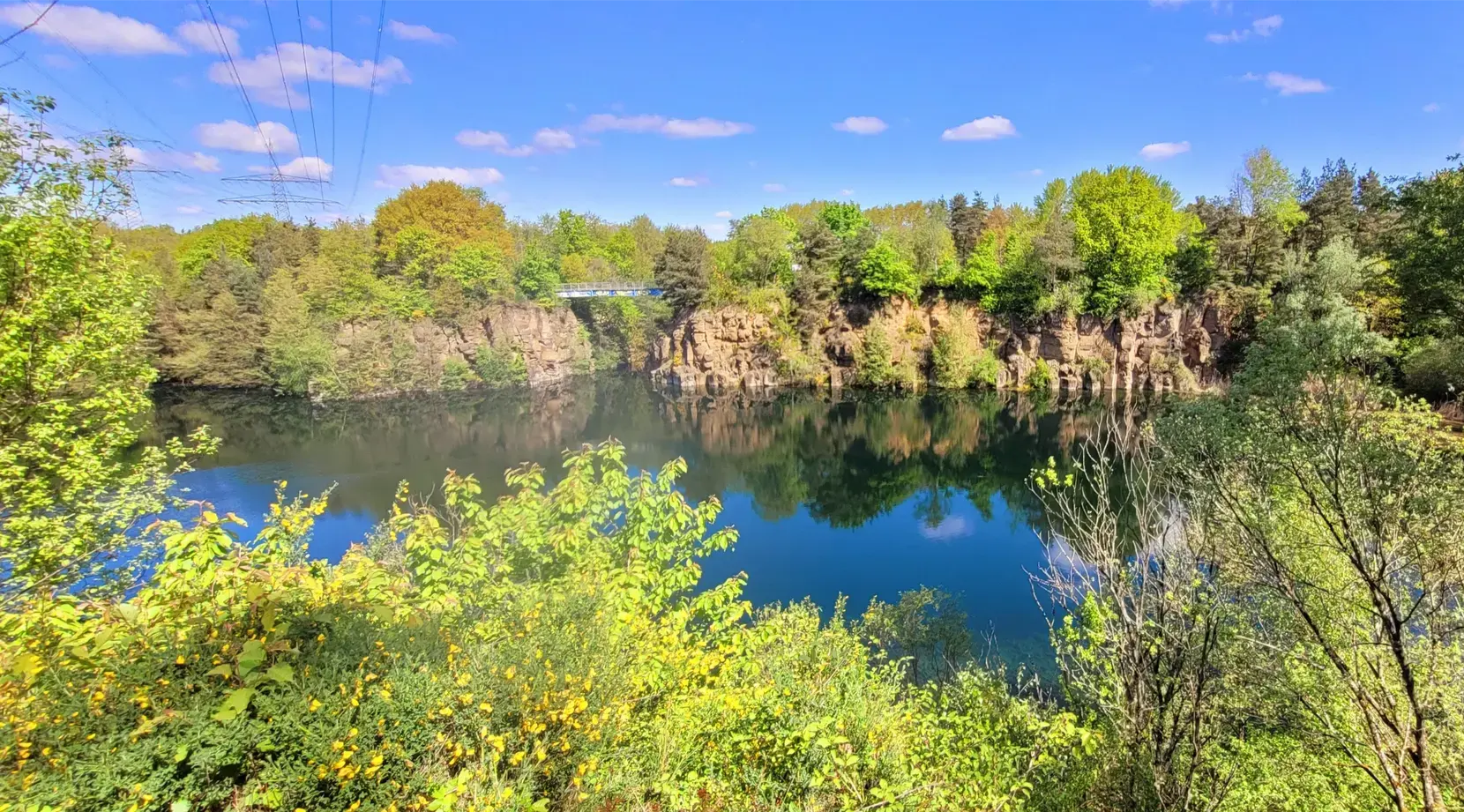
Stadt aus, Natur an im Rhein-Main-Gebiet – Mit Magnesium-Diasporal®
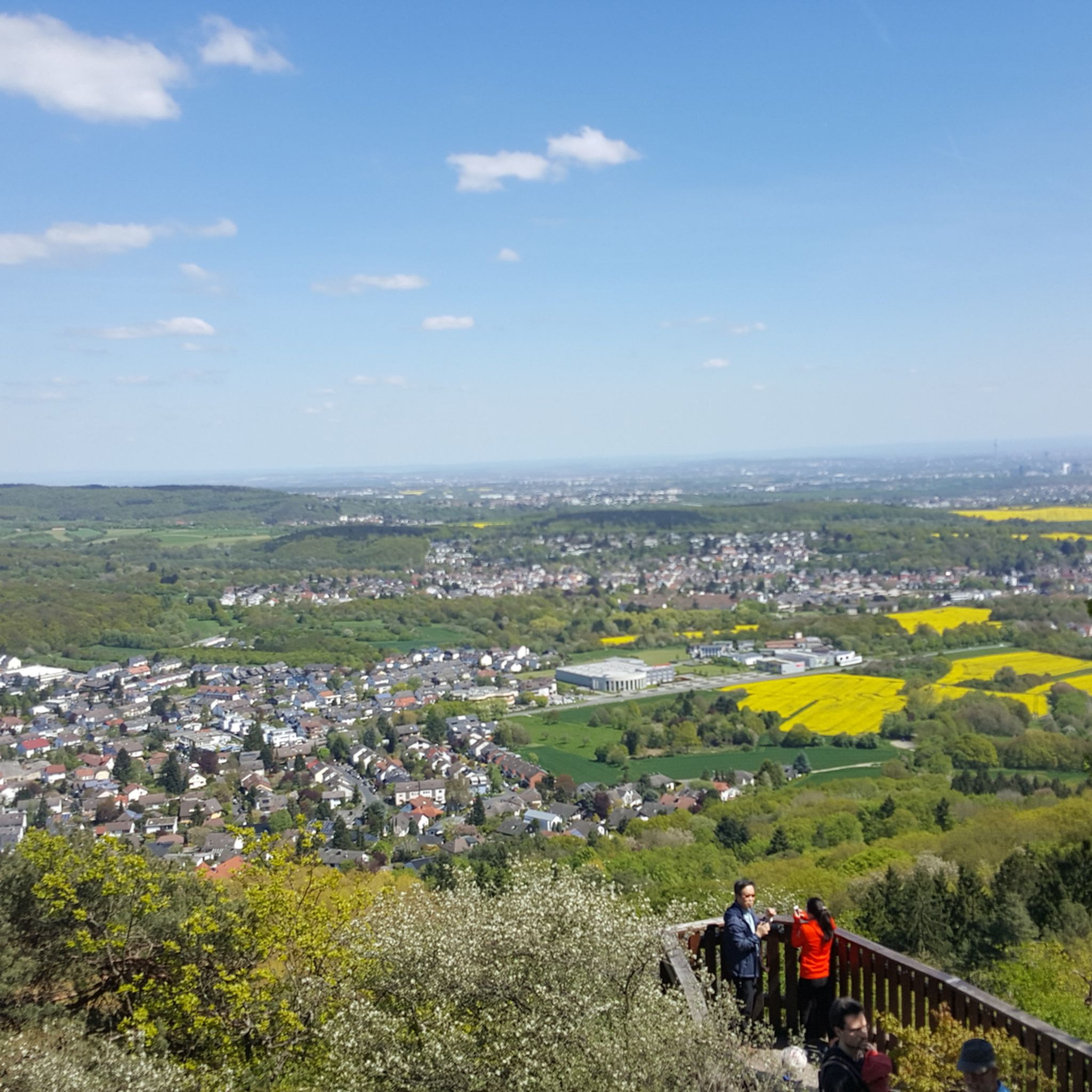
ケルクハイムでのハイキング
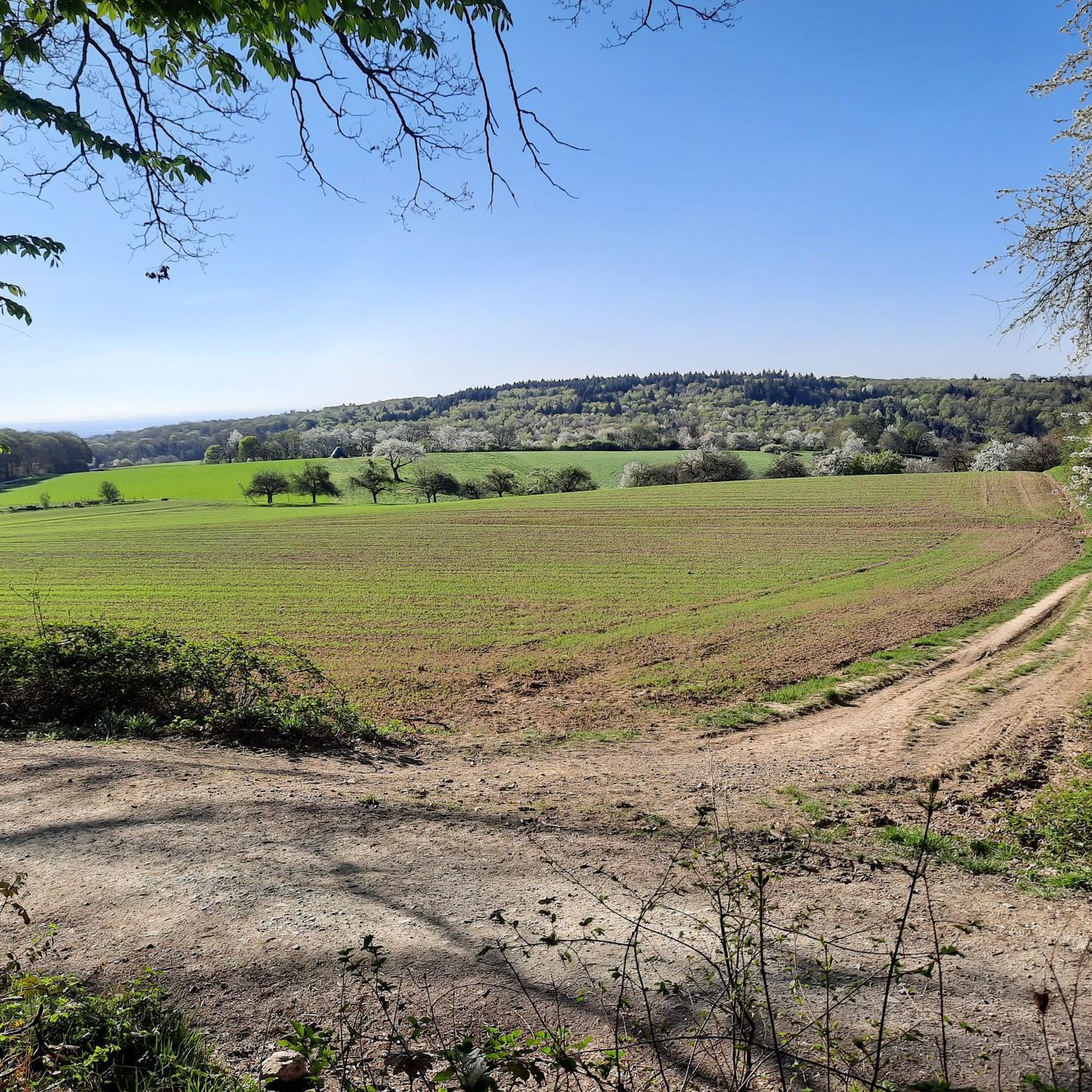
ケルクハイムでのサイクリング
ケルクハイムのランニングコース


コミュニティからのヒント

美しい田舎道で、(あまり強い向かい風がなければ)本当に飛ばすことができます。
0
0

この視点は、主要道路の印象的なY字分岐点にあるホーフハイム旧市街の絶対的な中心部を表しています。写真撮影や都市計画の観点からは、15世紀に建てられたカトリック教区教会である聖ペーター・ウント・パウル教会のそびえ立つ塔と、旧市庁舎(Hauptstraße 40)の歴史的建造物のクラシックな視軸として語られます。この歩行者天国にある絵のように美しい場所は、1529年に建てられた市庁舎の印象的な木骨造り、せせらぎの歴史的な噴水、そして歴史的な背景を、街全体で最も美しく、最も頻繁に撮影されるポストカードのモチーフの一つにまとめています。
9
0

A66の両側を走行可能で、ジャンクションは高速道路の下にあります。
1
0

Rddersheim駅は、「Weilbacher Kiesgruben」へのツアーを開始/終了するのに良い出発点/終着点です。
1
0

ここに興味深い案内板があります ロイナ橋 - 工業団地の眺め マイン川を下ると、Höchst工業団地の東側が見えます。4平方キロメートルを超える敷地の南部には研究と物流が、古い北部工場には生産、管理、インフラが配置されています。重要な連絡通路は、1959年からマイン川に架かる中央工場橋です。右側には、2023年に完成したガス火力発電所の煙突がそびえ立っています。橋のすぐ右側には、2023年に稼働を開始した全自動化された河川水処理施設が見えます。 ロイナ橋 - ヘキスト地区の眺め 再設計されたマイン川の岸辺の上には、ヘキストの旧市街がそびえ立っています。中世の基礎の上に建てられた、細長くそびえ立つ城、関税塔、そして18世紀後半に建てられたボロンガロ宮殿が際立った景観です。 カロリング朝時代に遡る、アルプスの北側で現存する最も古い完全な聖堂建築であるユスティヌス教会は、830年から850年の間に建てられました。
9
0
マイン川は、全長約527キロメートルで、ライン川の右岸で最も長い支流であり、ドイツで最も重要な河川の一つです。この川は、フレンキシェ・アルプ地方からのローテ・マイン(赤いマイン)と、フィヒテル山地からのヴァイセ・マイン(白いマイン)という2つの源流が、オーバーフランケン地方のクルムバッハ近郊で合流して形成されます。そこから、川は顕著な蛇行を描きながら西へと流れ、バイエルン州、バーデン=ヴュルテンベルク州、ヘッセン州を通過します。特徴的な川のカーブは、フレンキシェ・ワインランドやシュペッサルトのような景観的に魅力的な地域を形作り、最終的にマインツ・コストハイムでマインツの対岸にあるライン川に合流します。マイン川は、中央ヨーロッパの経済と交通において、主要な国際的な水運路として際立った役割を果たしています。1992年に完成したマイン・ドナウ運河を通じて、ライン川とドナウ川を経由して北海と黒海を直接結ぶ、連続したヨーロッパの水路の一部となっています。これにより、この川は大陸横断の貨物輸送の生命線となっています。その流域には、フランクフルト・アム・マインという大都市をはじめ、重要な経済・産業の中心地が点在しており、その有名なスカイラインは、川とその数多くの橋や遊歩道の絵のように美しい背景なしには考えられないでしょう。経済的な機能に加えて、マイン川は生態学とレクリエーションにとって計り知れない価値を持っています。その河岸地帯は、種多様な動植物にとって重要な生息地を提供しています。周辺の都市や町の住民にとって、この川は中心的な近郊レクリエーションエリアとして機能しています。人気のマインサイクリングロード(Main-Radweg)のような、整備されたサイクリングロードが川沿いに延々と続き、毎年数多くのサイクリストやハイカーを魅了しています。さらに、ウォータースポーツ、観光船、活気のある川沿いの遊歩道が、都市部の川の景観を特徴づけ、スポーツと文化の交流の場となっています。
6
0
Regionaltangente Westは「近日中」にHöchst駅と空港を結ぶ予定で、Sバーン路線はさらに「Soda」橋を渡り、Höchst駅ではすでにトンネル工事が行われています。
1
0

komootモバイルアプリでインスピレーションを得よう


さらに探索
他の地域の最高のロードサイクリングルートを見てみましょう。
