ベルベデールでののおすすめグラベルライド
4.3
(4)
85
ライダー
7
ライド
komootがまとめたベルベデールでののおすすめグラベルライドを参考にして、グラベルライドの魅力を最大限に楽しみましょう。難易度の高い登り坂や絶景のトレイルなど、あらゆるルートの中から厳選したベルベデールでののグラベルライドをご覧ください。
最終更新日: 9月 21, 2026
4.0
(1)
13
ライダー
31.6km
02:30
980m
980m
難しいグラベルライド. 標準以上のフィットネスレベルが必要です。 全般的に舗装された状態です。あらゆるスキルレベルに適しています。
8
ライダー
38.2km
03:51
1,300m
1,300m
難しいグラベルライド. 標準以上のフィットネスレベルが必要です。 全般的に舗装された状態です。あらゆるスキルレベルに適しています。

5.0
(2)
12
ライダー
25.2km
02:16
880m
880m
難しいグラベルライド. 標準以上のフィットネスレベルが必要です。 全般的に舗装された状態です。あらゆるスキルレベルに適しています。
4.0
(1)
9
ライダー
97.2km
09:24
3,840m
3,840m
難しいグラベルライド. 標準以上のフィットネスレベルが必要です。 全般的に舗装された状態です。あらゆるスキルレベルに適しています。
6
ライダー
77.4km
06:38
2,490m
2,510m
難しいグラベルライド. 標準以上のフィットネスレベルが必要です。 全般的に舗装された状態です。あらゆるスキルレベルに適しています。
さらに多くのルートや他のユーザーのおすすめ情報を確認できます。
すでにアカウントをお持ちですか?
おすすめのツアーは他のkomootユーザーが実際に経験した何千ものアクティビティに基づいています。

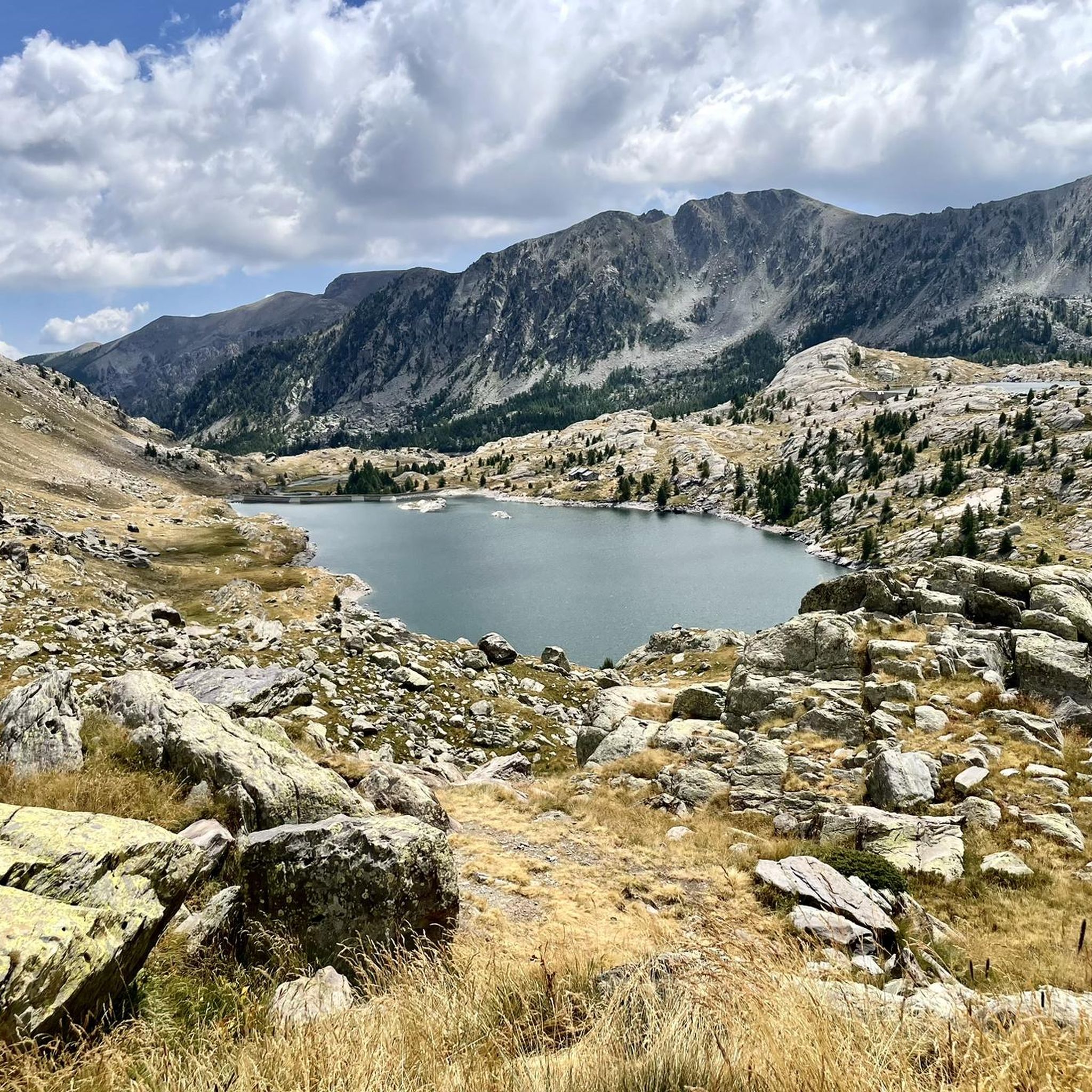
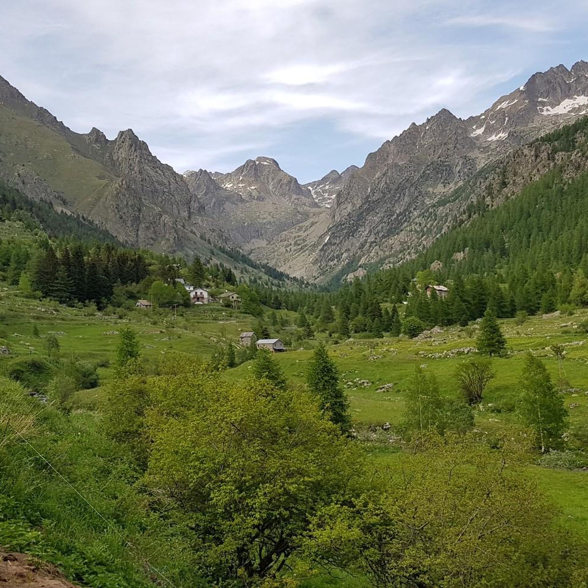
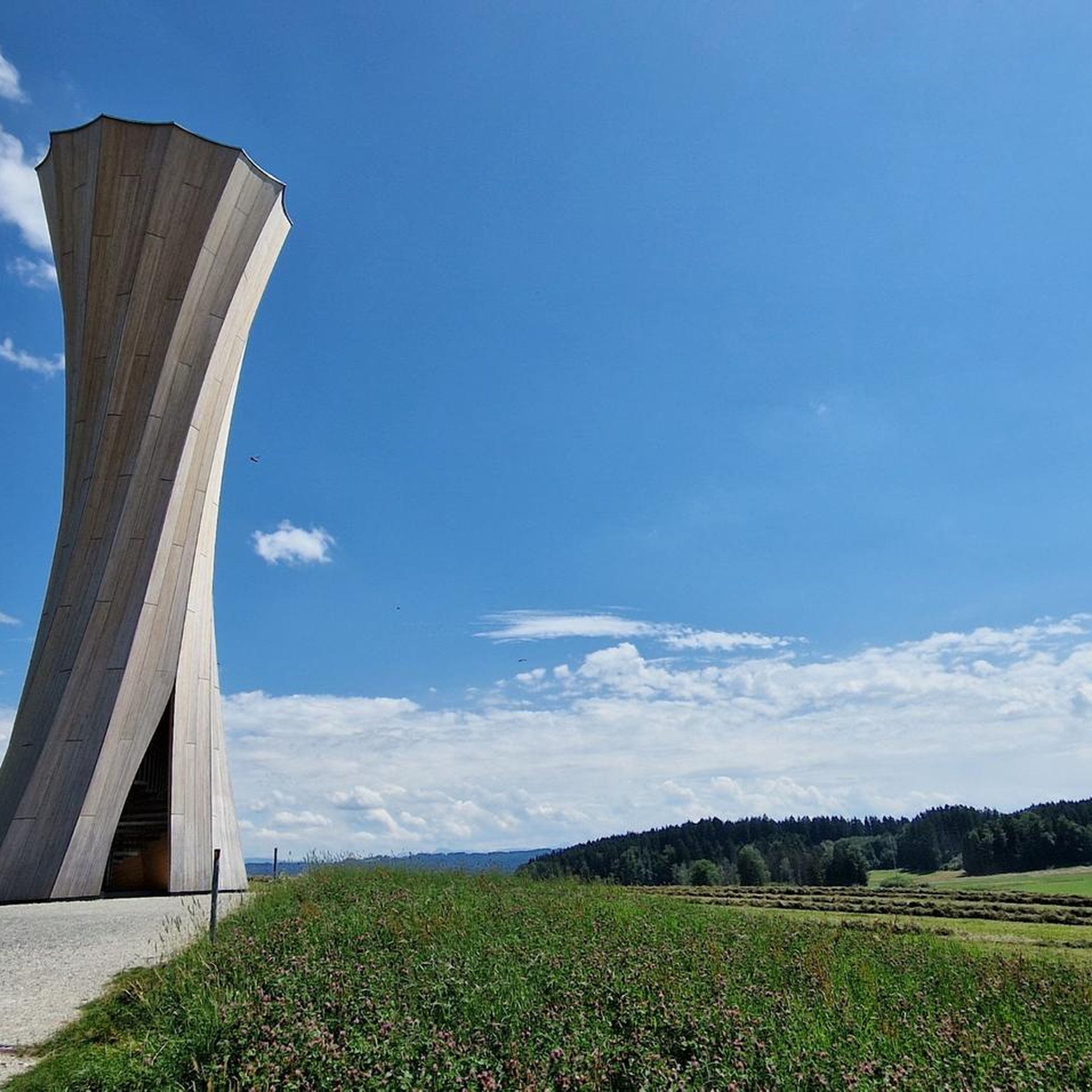


コミュニティからのヒント


The Col Saint-Martin Pass, or Col de la Colmiane, is a mountain pass in the Southern Alps located at an altitude of 1,500 meters in the Alpes-Maritimes department of France. It provides a year-round road link between the Tinée Valley to the west and the Vésubie Valley to the east.
0
0
The Col Saint-Martin Pass, or Col de la Colmiane, is a mountain pass in the Southern Alps located at an altitude of 1,500 meters in the Alpes-Maritimes department of France. It provides a year-round road link between the Tinée Valley to the west and the Vésubie Valley to the east.
0
0
Col Saint Martin (el. 1500 m.) is a high mountain pass in the Alps in the department of Alpes-Maritimes in France.[1] It is traversed by the D-2205 highway.[2] The place has been crossed at the Tour de France road cycling race in 1973, 1975 and 2020, as well as at multiple editions of the Paris-Nice.
0
0
The Col de Turini is a mountain pass located in the southern French Alps. It connects Lantosque, in the Vésubie Valley, to Sospel, in the Bévéra Valley. It also provides access to the Paillon Valley and the towns of Escarène and Lucéram. Rising to an altitude of 1,604 meters, it is located near the summit of the Authion Massif. The pass lies between the communes of Moulinet and La Bollène-Vésubie. A hamlet is located at the pass, where three main roads converge. A fourth road leads to Camp d'Argent, where a ski resort is located, and beyond to the summit of Authion (Pointe des Trois-Communes).
0
0

From here, go down the road on the left which is worse, but it's better to go downhill. Then go up the wide dirt road which is better...👍
0
0
Uncontrolled source, make sure there are no cows grazing above
0
0
On the descent near the tunnel, I found a landslide, by bike it was passable, but by car no.
0
0

komootモバイルアプリでインスピレーションを得よう


さらに探索
他の地域の最高のグラベルライドを見てみましょう。
