サント・アグネスでののおすすめグラベルライド
4.8
(25)
314
ライダー
26
ライド
komootがまとめたサント・アグネスでののおすすめグラベルライドを参考にして、グラベルライドの魅力を最大限に楽しみましょう。難易度の高い登り坂や絶景のトレイルなど、あらゆるルートの中から厳選したサント・アグネスでののグラベルライドをご覧ください。
最終更新日: 8月 26, 2026
4.3
(4)
57
ライダー
54.0km
04:46
1,480m
1,480m
難しいグラベルライド. 標準以上のフィットネスレベルが必要です。 全般的に舗装された状態です。あらゆるスキルレベルに適しています。
5.0
(1)
16
ライダー
48.1km
04:20
1,400m
1,400m
難しいグラベルライド. 標準以上のフィットネスレベルが必要です。 全般的に舗装された状態です。あらゆるスキルレベルに適しています。

無料新規登録
4.5
(2)
26
ライダー
47.2km
03:58
1,460m
1,460m
難しいグラベルライド. 標準以上のフィットネスレベルが必要です。 全般的に舗装された状態です。あらゆるスキルレベルに適しています。
5.0
(2)
37
ライダー
77.1km
05:58
2,130m
2,130m
難しいグラベルライド. 標準以上のフィットネスレベルが必要です。 全般的に舗装された状態です。あらゆるスキルレベルに適しています。
4.5
(2)
11
ライダー
35.0km
02:47
990m
990m
難しいグラベルライド. 標準以上のフィットネスレベルが必要です。 全般的に舗装された状態です。あらゆるスキルレベルに適しています。
さらに多くのルートや他のユーザーのおすすめ情報を確認できます。
無料新規登録
すでにアカウントをお持ちですか?
おすすめのツアーは他のkomootユーザーが実際に経験した何千ものアクティビティに基づいています。
無料アカウントで今日から始めよう
次の冒険が待っています。
ログインまたは登録
コミュニティからのヒント


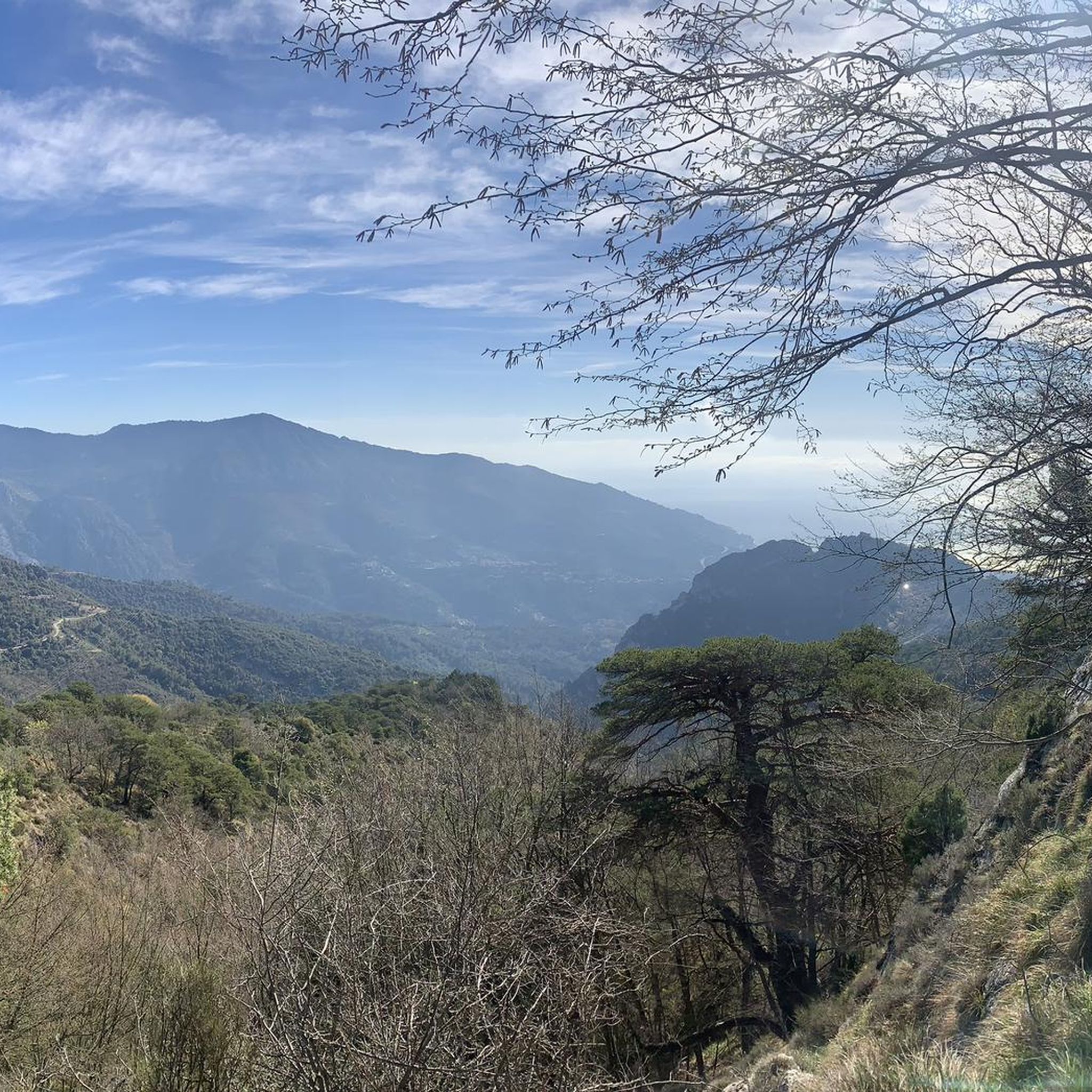
標高630メートル、ニースとモナコから等距離にあるペイーユは、ラ・マドンヌ山の頂上から見ることができます。市庁舎やパン屋に改装された礼拝堂がその雰囲気を物語っています。中世の遺産は今も息づいています。レオ・フェレはこの地を愛し、歌を捧げました。
0
0

The historic old town of Menton, the “Vieille Ville”, impresses with its labyrinth of narrow, shady streets and the striking, pastel-colored house fronts that stretch picturesquely up the hill.
0
0

In the old town, there are numerous opportunities to buy lemons, lemon candies, lemon soap, lemon cake, and lemon ice cream. The famous lemons of Menton differ from other varieties in their elliptical shape, lack of bitterness, more vibrant colors, and oil-rich peels that impart a more pronounced fragrance.
1
0
Citrus fruits are the heart of this French coastal city, bathing it in golden hues. Since the 15th century, the city's inhabitants have cultivated citrus trees, benefiting from a unique microclimate that is a few degrees warmer than the rest of the Côte d'Azur.
0
0

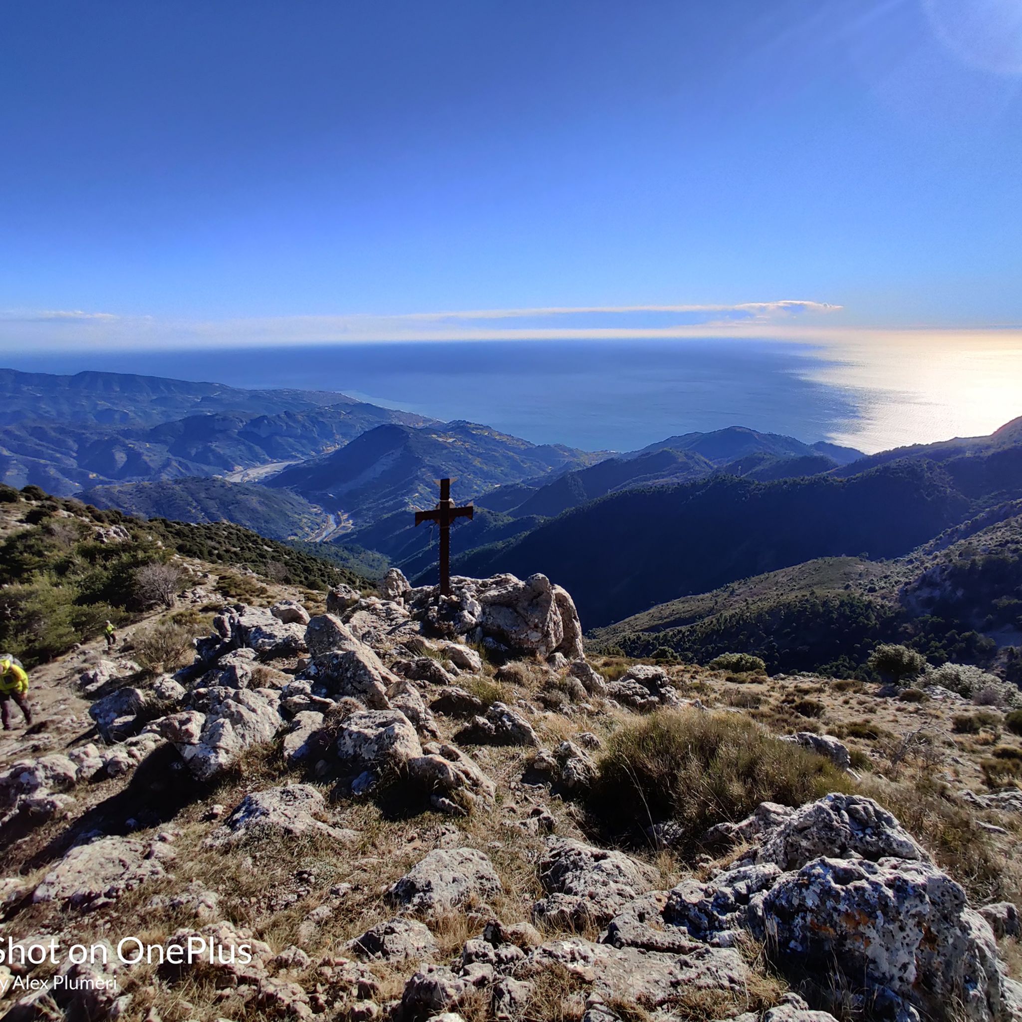
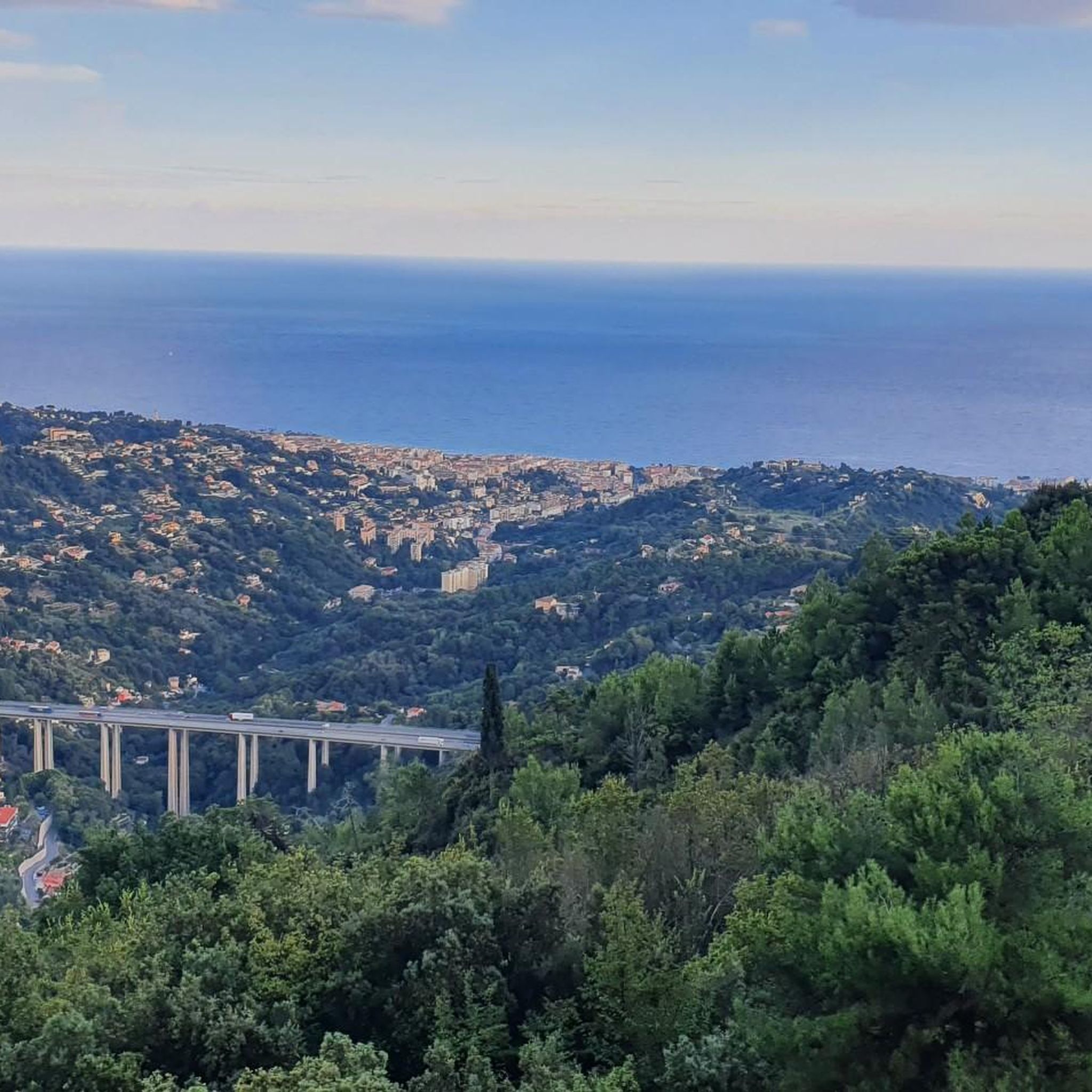
Corniche road. Magnificent views of the Mediterranean, Nice... At the Col du Farguet, views of the Mercantour. To reach the Col de Braus, gravel road accessible to classic electric bikes (not mountain bikes)
0
0

The Col d'Èze, located between Nice and Monaco, near La Turbie in the Alpes-Maritimes department, peaks at 507 m. Located less than 5 km from the coast, it offers a remarkable panorama of the Côte d'Azur: Cap Ferrat to the west, and Italy to the east. It is part of the Route des Grandes Alpes route. Despite its modest altitude, it is important to remember that the climbs all start at sea level and that the elevation gain is therefore quite significant at nearly 500 m. There are many options for accessing the Col d'Èze...
1
1
“Menton. Italy is beginning, you can feel it in the air,” wrote Flaubert. The old town has an air of la dolce vita. It’s easy to get lost in the narrow streets, stairways, and shaded squares, lined with luminous ochre facades. Within the old fortified walls, the medieval crosspieces and the Baroque complex of the Parvis Saint-Michel reveal the weight of history. And everywhere, absolutely everywhere, the Mediterranean reminds us of its presence with its dazzling blue. A marvel for the eyes and the heart!
1
0
サント・アグネスでのの人気観光スポット

komootモバイルアプリでインスピレーションを得よう


さらに探索
他の地域の最高のグラベルライドを見てみましょう。
