ベルベデールのおすすめ登山&山歩きルート
5.0
(5)
46
ハイカー
8
ハイキング
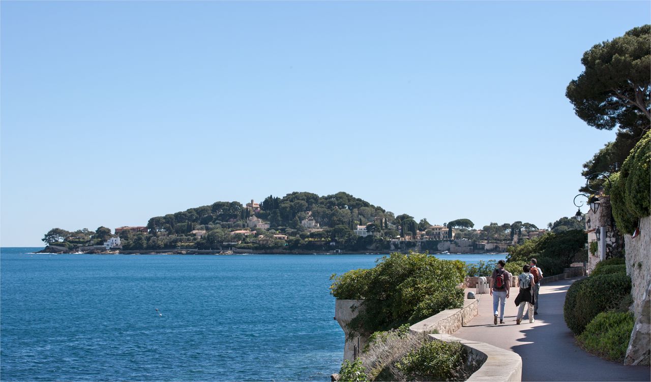
ニザの山々をもっと探索しませんか?このガイドでご紹介するのは、komootがベルベデールでの登山&山歩きのコレクション全体を評価して選び抜いた、このエリアの人気ルートです。あなたに合ったルートを見つけるには、他のユーザーがアップロードした役立つ情報や写真を閲覧し、クリック操作で簡単に表示できる詳細なデータを参考にしましょう。ベルベデールでの次の冒険にぴったりの登山&山歩きルートが見つかるはずです。
最終更新日: 9月 2, 2026
7
ハイカー
16.4km
07:57
1,300m
1,300m
難しい登山ルート. 標準以上のフィットネスレベルが必要です。 安定して歩行できる技術、丈夫な靴、高標高地での登山経験が必要です。
5.0
(1)
12
ハイカー
4.45km
03:18
480m
480m
難しい登山ルート. ある程度のフィットネスレベルが必要です。 安定して歩行できる技術、丈夫な靴、高標高地での登山経験が必要です。

無料新規登録
5.0
(1)
5
ハイカー
13.5km
07:02
1,160m
1,160m
難しい登山ルート. 標準以上のフィットネスレベルが必要です。 全般的に進みやすいルートです。安定して歩行できる技術が必要です。
6
ハイカー
4.79km
03:53
750m
750m
難しい登山ルート. ある程度のフィットネスレベルが必要です。 安定して歩行できる技術、丈夫な靴、高標高地での登山経験が必要です。
5.0
(1)
5
ハイカー
9.51km
04:19
610m
610m
難しい登山ルート. ある程度のフィットネスレベルが必要です。 安定して歩行できる技術、丈夫な靴、高標高地での登山経験が必要です。
さらに多くのルートや他のユーザーのおすすめ情報を確認できます。
無料新規登録
すでにアカウントをお持ちですか?
おすすめのツアーは他のkomootユーザーが実際に経験した何千ものアクティビティに基づいています。



コミュニティからのヒント

For dog lovers...you are in a park...dog on a leash...good luck 🍻
1
0

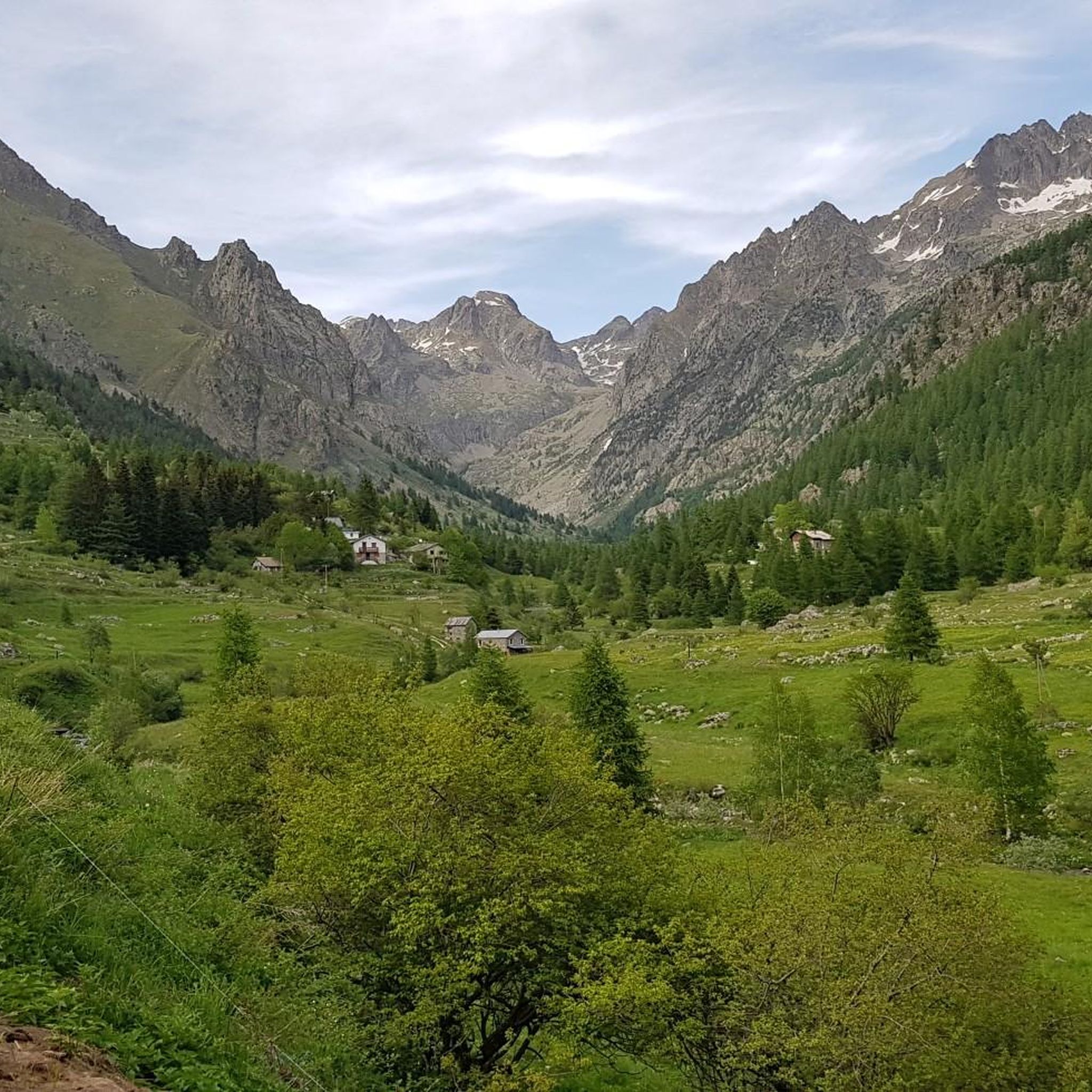
Refuge in the Gesso valley, steep path and stretches of stony ground, but still at hiking level. Inside the Maritime Alps, but also accessible with a dog on a leash. Very suggestive place, it is worth climbing up here
1
1

The Pas de l'Arpette (2511 m) is the gateway to the Merveilles Valley, from Vésubie. Effort and beautiful emotions guaranteed. From the Gordolasque car park, cross the Countet bridge (1692 m) and turn right at milestone 412, in the direction of Pas de l'Arpette (2511 m), which you reach after crossing the Empuonrame valley. Then we can move to the Merveilles Valley, which can be visited in the company of a guide approved by the Mercantour National Park to observe the more than 40,000 rock carvings, the oldest dating back to the Copper Age and the beginning of the Bronze Age. . Age. The return is made by the same route.
1
0
The refuge is located on the banks of the upper Long lake, in the heart of the rock engravings of the Vallée des Merveilles, surrounded by numerous lakes and peaks: Bégo, Grand Capelet, Cime du Diable... The refuge is located in an open-air museum. This exceptional archaeological site, classified as a historical monument, extends between two valleys around Mont Bégo. There are 40,000 rock engravings dating from -4000 to -2000 BC, which are marks of pastoral occupation. When you cross the Vallée des Merveilles on the GR, you feel an almost mystical and very unusual side.
1
0
The Nice refuge is located at 2,232 meters above sea level, in the town of Bélvédère, Alpes-Maritimes, in the Mercantour National Park.
0
0

This car park is located at the entrance to the Vallée des Merveilles in Mercantour. To get there, simply follow the signs indicating the hike. It is one of the most beautiful sites in the region!
1
0

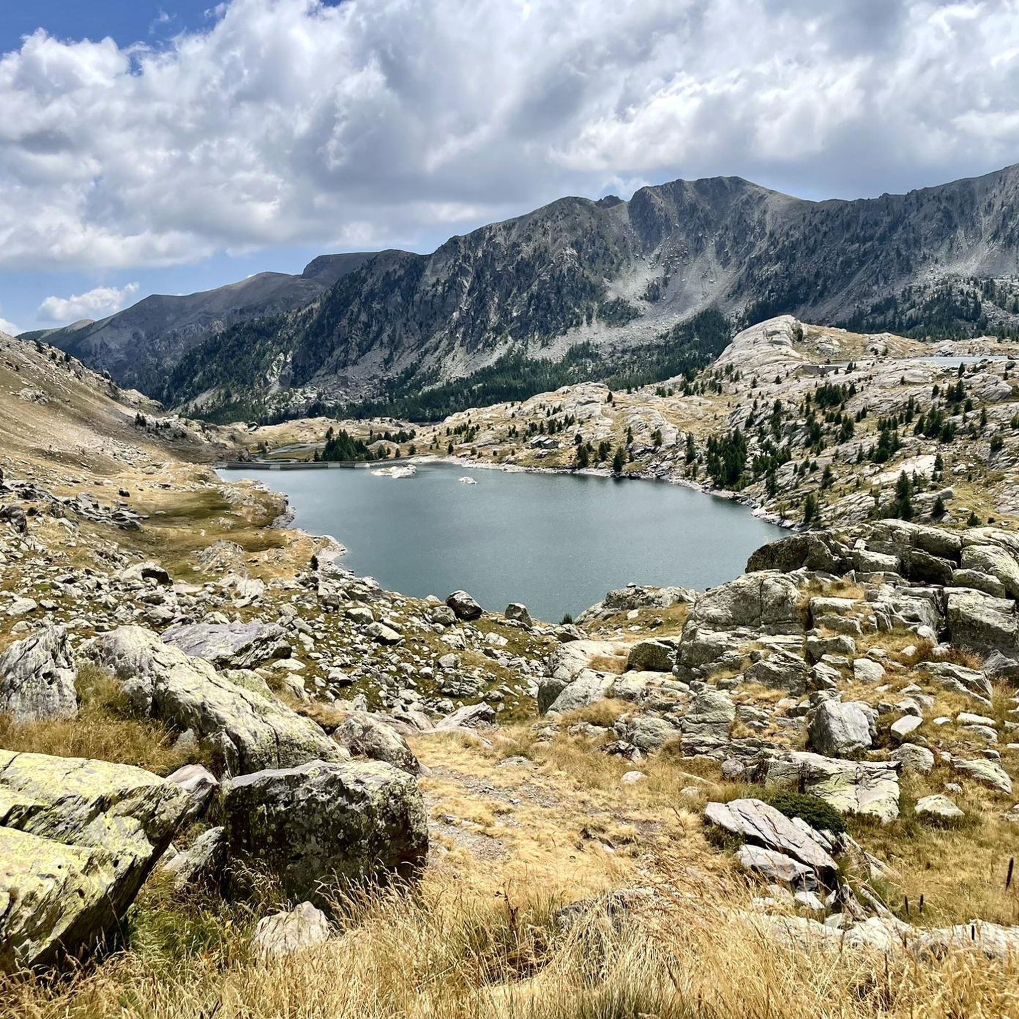
The Mille Fonds lakes are a succession of high-altitude lakes near the Col u Barn. Their deep blue enhances the panorama that some of them reveal, like Lake Long.
0
0

First time visitors should be warned this is a refuge, not a hotel. As such don’t go expecting anything more than basic facilities. If you want a shower then it will be with cold water taken and filtered directly from the nearby lake. Without exception, we found the staff to be very friendly, as were all the hikers we spoke to. No matter if you arrive alone or with a group, everyone is staying at the refuge for the same reason as you, and this makes starting a conversation with someone you don’t know very easy. The advantages you get from staying in such a refuge is knowing you’ll be given somewhere dry and warm to sleep, plus something hot to eat. When it came close to having dinner everyone helped move all the rectangle tables into one long one, where we all then sat and enjoyed an amazing hot stew with bread. After dinner it was a quick cold shower. After which we relaxed outside for a while before kipping down for the night. Breakfast here was available, as was a packed lunch to take on our onward journey. All of course at extra cost. Like all refuges around the world, there is a limit to the amount of hikers each can accommodate at any one time. Because of this you’ll need to book a place well in advance of your trip. Arriving on the day looking for a place is unlikely to be successful unless a booking goes unfilled, which wouldn’t be noticeable until well after sunset. You can camp outside near the refuge but you’ll need to get permission first.
2
0

komootモバイルアプリでインスピレーションを得よう


さらに探索
他の地域の最高の登山ハイキング & ルートを見てみましょう。
