ラ・トリニテでののおすすめグラベルライド
4.6
(92)
955
ライダー
48
ライド
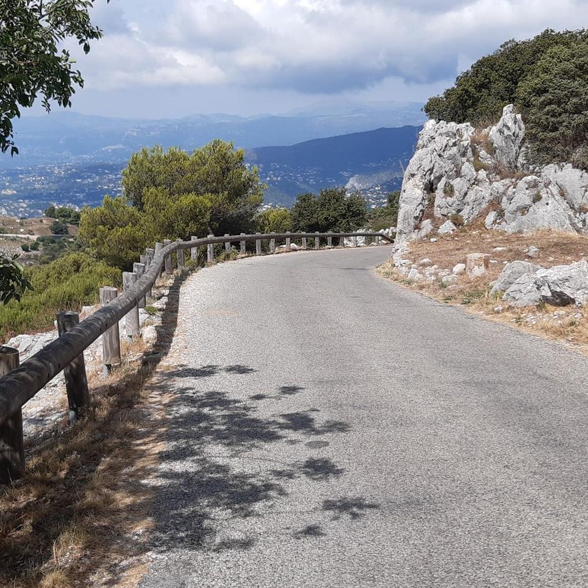
Gravel biking around La Trinité, located in the Alpes-Maritimes region of France, offers challenging routes through diverse landscapes. The area is characterized by significant elevation changes, featuring numerous mountain passes and deep gorges. Riders can expect to navigate varied terrain, from winding forest paths to open, exposed sections with panoramic views. This region provides a robust environment for experienced gravel bikers seeking demanding climbs and technical descents.
Best gravel bike trails around La Trinité
- The most popular gravel bike trail…
最終更新日: 9月 9, 2026
4.6
(8)
53
ライダー
44.6km
03:31
1,100m
1,100m
難しいグラベルライド. 標準以上のフィットネスレベルが必要です。 全般的に舗装された状態です。あらゆるスキルレベルに適しています。
21
ライダー
84.4km
07:07
2,300m
2,300m
難しいグラベルライド. 標準以上のフィットネスレベルが必要です。 ツアーの一部で自転車を押して歩く必要があるかもしれません。

17
ライダー
74.1km
05:25
1,620m
1,610m
難しいグラベルライド. 標準以上のフィットネスレベルが必要です。 全般的に舗装された状態です。あらゆるスキルレベルに適しています。
5.0
(3)
24
ライダー
24.6km
01:49
580m
580m
難しいグラベルライド. 標準以上のフィットネスレベルが必要です。 全般的に舗装された状態です。あらゆるスキルレベルに適しています。
26
ライダー
47.4km
03:29
1,170m
1,170m
難しいグラベルライド. 標準以上のフィットネスレベルが必要です。 全般的に舗装された状態です。あらゆるスキルレベルに適しています。
さらに多くのルートや他のユーザーのおすすめ情報を確認できます。
すでにアカウントをお持ちですか?
おすすめのツアーは他のkomootユーザーが実際に経験した何千ものアクティビティに基づいています。
無料アカウントで今日から始めよう
次の冒険が待っています。
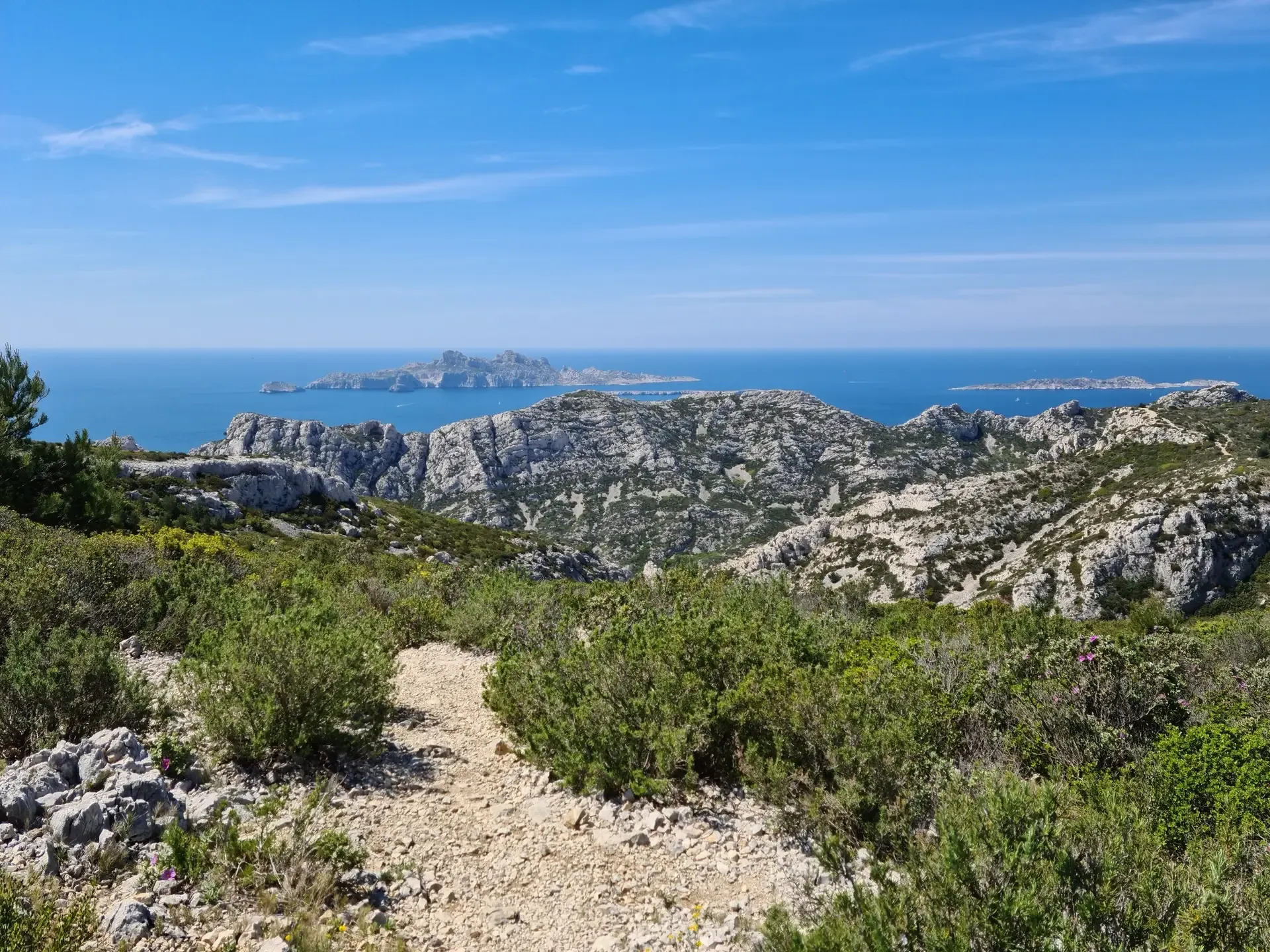
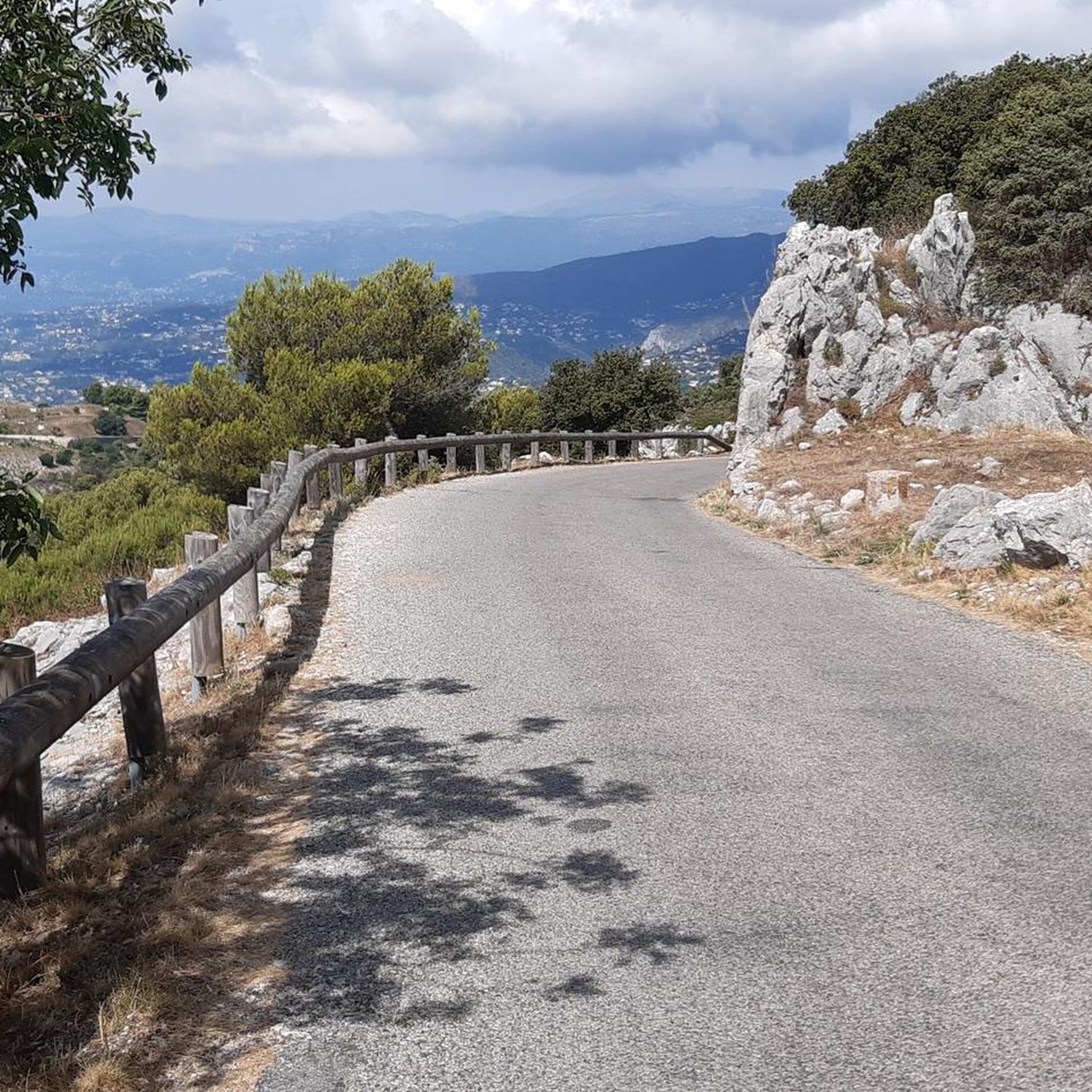
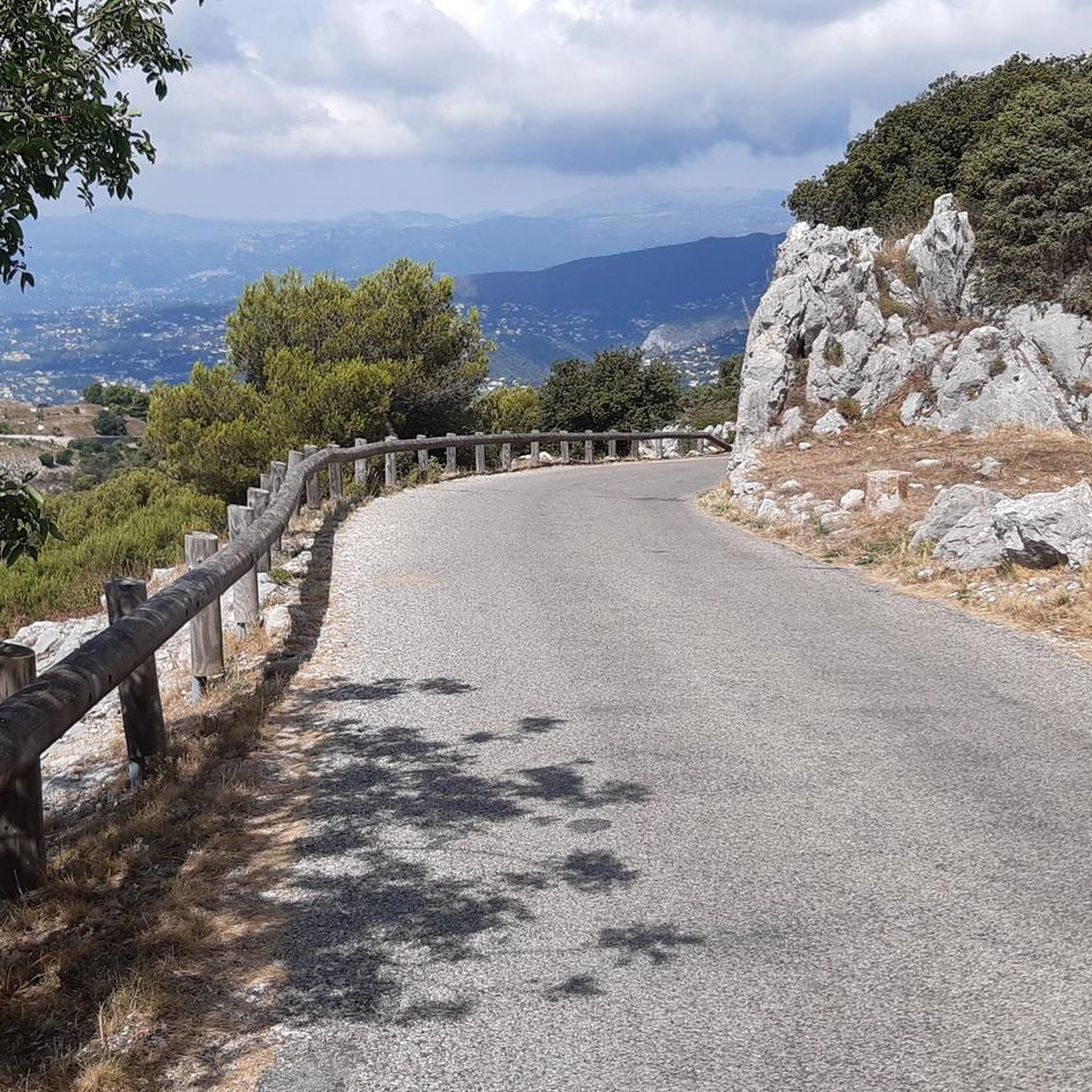
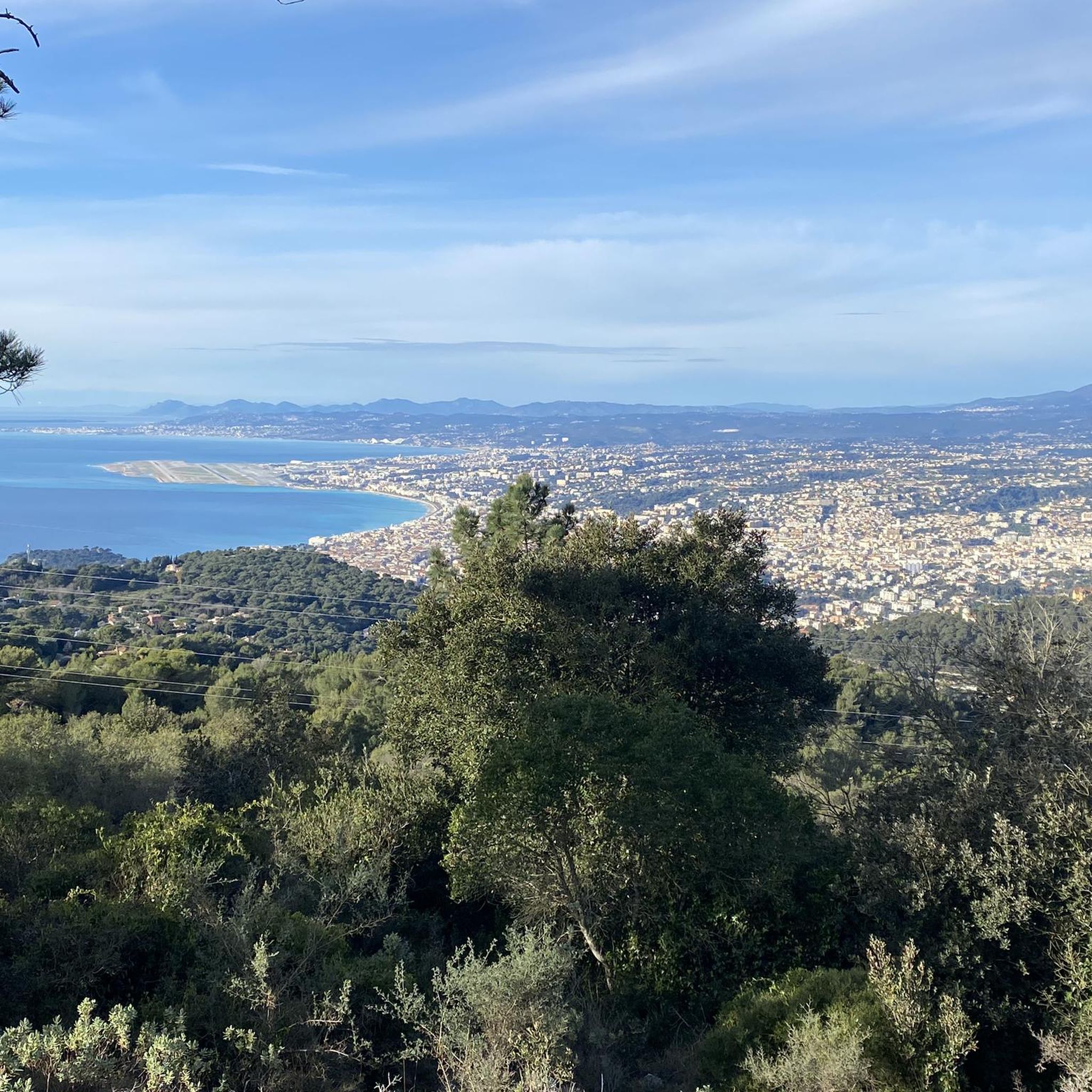

コミュニティからのヒント

ラ・トゥルビー(Vieux La Turbieとしても知られる)の歴史的中心部は、フランスにある魅力的な中世の城塞化された村で、モナコ公国を見下ろす約500メートルの高さにあります。石造りの示唆に富む建築、石畳の路地、古代の入り口の門を特徴とする歴史的中心部は、ローマ時代の栄光の過去と調和して融合しています。
0
0


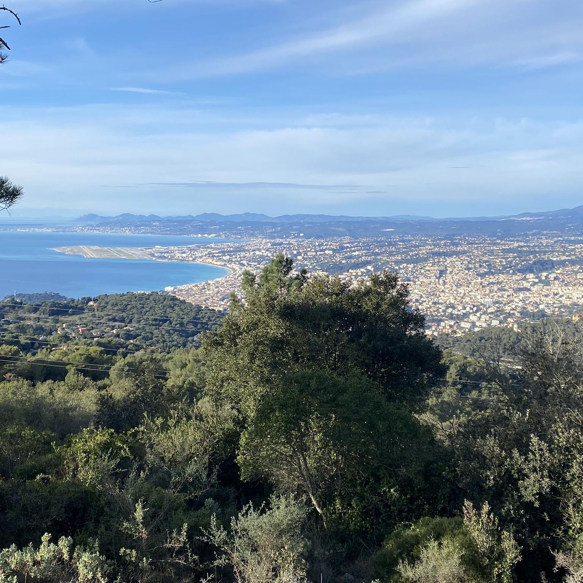
I did it via Coaraze. Magnificent scenery and a beautiful view of the event and its surrounding area from the top of Ferion. A moderately easy hike. The elevation changes from 500 meters to 1400 meters.
0
0

The Col d'Èze, located between Nice and Monaco, near La Turbie in the Alpes-Maritimes department, peaks at 507 m. Located less than 5 km from the coast, it offers a remarkable panorama of the Côte d'Azur: Cap Ferrat to the west, and Italy to the east. It is part of the Route des Grandes Alpes route. Despite its modest altitude, it is important to remember that the climbs all start at sea level and that the elevation gain is therefore quite significant at nearly 500 m. There are many options for accessing the Col d'Èze...
1
1
The Col d'Èze, located between Nice and Monaco, near La Turbie in the Alpes-Maritimes department, peaks at 507 m. Located less than 5 km from the coast, it offers a remarkable panorama of the Côte d'Azur: Cap Ferrat to the west, and Italy to the east. It is part of the Route des Grandes Alpes route. Despite its modest altitude, it is important to remember that the climbs all start at sea level and that the elevation gain is therefore quite significant at nearly 500 m. There are many options for accessing the Col d'Èze...
0
0
The Col d'Èze, located between Nice and Monaco, near La Turbie in the Alpes-Maritimes department, peaks at 507 m. Located less than 5 km from the coast, it offers a remarkable panorama of the Côte d'Azur: Cap Ferrat to the west, and Italy to the east. It is part of the Route des Grandes Alpes route. Despite its modest altitude, it is important to remember that the climbs all start at sea level and that the elevation gain is therefore quite significant at nearly 500 m. There are many options for accessing the Col d'Èze...
1
0
ラ・トゥルビーは、戦略的な通過点として歴史的に位置づけられています。過去の出来事は、この地域に称賛に値する証を残しました。トロフィーの麓には、趣のある石畳の路地と美しい石造りの家々を持つ中世の村があります。城壁の外には、壮大なバロック様式のサン・ミッシェル教会(18世紀)、ローマ時代の遺跡、噴水などがあります。
1
0
ラ・トリニテでのの人気観光スポット

komootモバイルアプリでインスピレーションを得よう


さらに探索
他の地域の最高のグラベルライドを見てみましょう。
