レヴェンティナの絶景の山頂・トップ20
絶景を目指して登るのであれ、達成感のために登るのであれ、山頂を訪れることで、レヴェンティナの美しい自然をもっと満喫することができます。20
もの選択肢の中から、制覇する山頂を決めるのは簡単ではありません。スムーズに次の冒険で目指す山頂を選べるように、レヴェンティナの素晴らしい山頂をこのガイドにまとめました。
最終更新日: 9月 13, 2026
カパンナ・カドリモ(カドリモ山小屋)
ハイライト • 山小屋
翻訳者 Google •
役立つ情報 は

カパンナ・コルノ・グリース
ハイライト • 山小屋
翻訳者 Google •
役立つ情報 は

今すぐサインアップして、こんな場所を発見しよう
最高のシングルトラック、ピーク、その他のエキサイティングなアウトドアスポットのおすすめを受け取ろう。
ゴッタルド峠
ハイライト • 山道
翻訳者 Google •
役立つ情報 は

パッソ・サン・ジャコモ
ハイライト • 山道
翻訳者 Google •
役立つ情報 は

ピッツォ・チェントラーレ
ハイライト • 山頂
Groups and peaks
The Gotthard mountains are divided into the following six subgroups:
翻訳者 Google •
役立つ情報 は

ピッツォ・ルチェンドロ
ハイライト • 山頂
It has a height of 2963 m above sea level. M. and is located four kilometers southwest of the Gotthard …
翻訳者 Google •
役立つ情報 は
ノヴェーナ峠
ハイライト • 山道
翻訳者 Google •
役立つ情報 は

ボッケッタ・デル・カモゲ
ハイライト • 山道
翻訳者 Google •
役立つ情報 は
オスコ
ハイライト • 集落
翻訳者 Google •
役立つ情報 は
無料アカウントで今日から始めよう
次の冒険が待っています。
レヴェンティナ周辺で人気
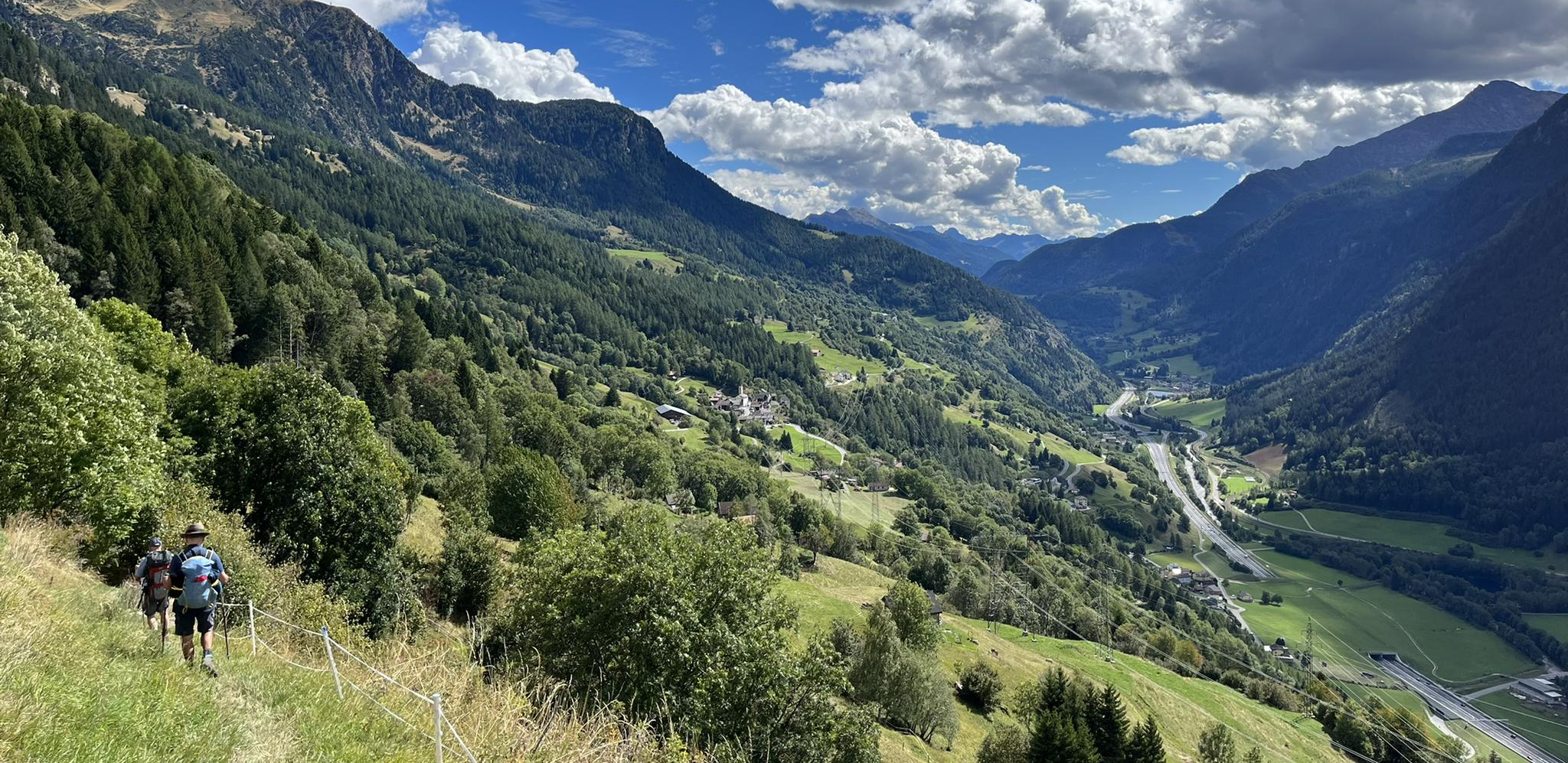
Strada alta - スイスの陽テラスでハイキング

Alpine Passes Trail - サウファーシラールトリアルド 700km インスラールト
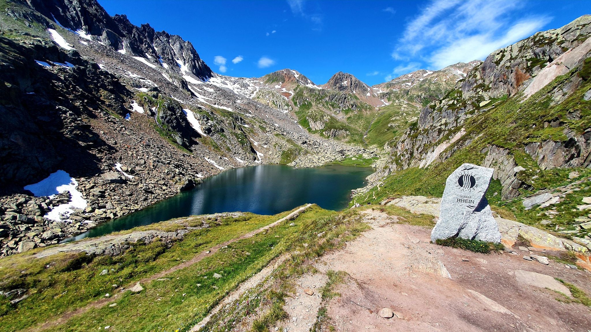
スイスのゴッタールド山脈でフローを見つける — フォースプリングストレイル

純粋な山の楽しみの34ステージ - スイスのアルプス山峠トレイルでハイキング

スイスを横断するトランススイストレイルでハイキング

Via Gottardoの年名のトラールはいます。
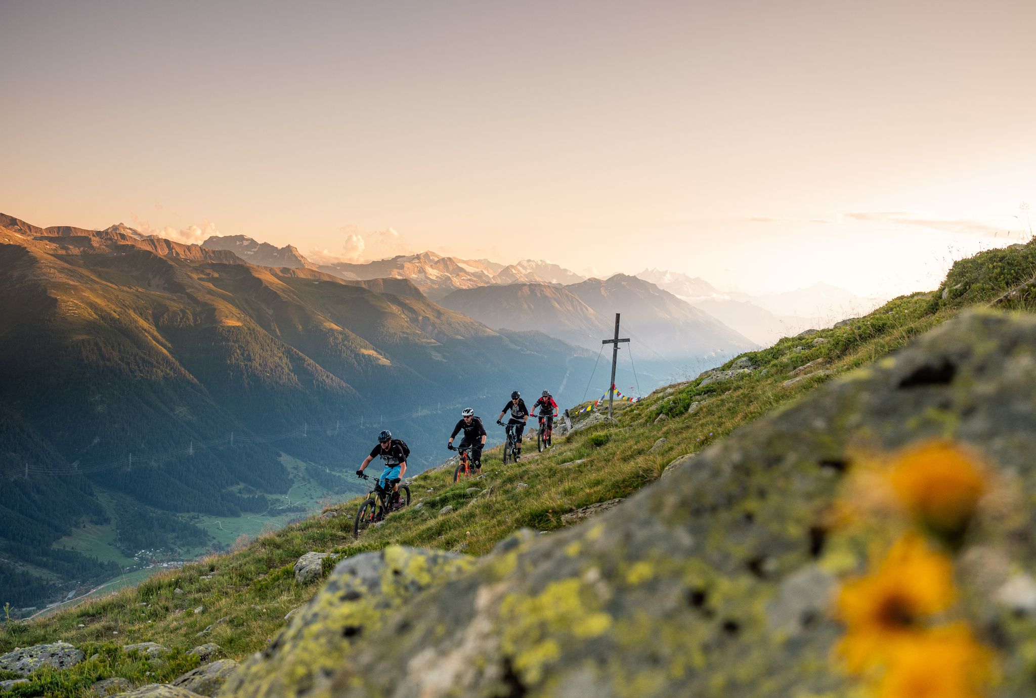
Rugged trails, spectacular views: trail adventures in the high valley of Goms
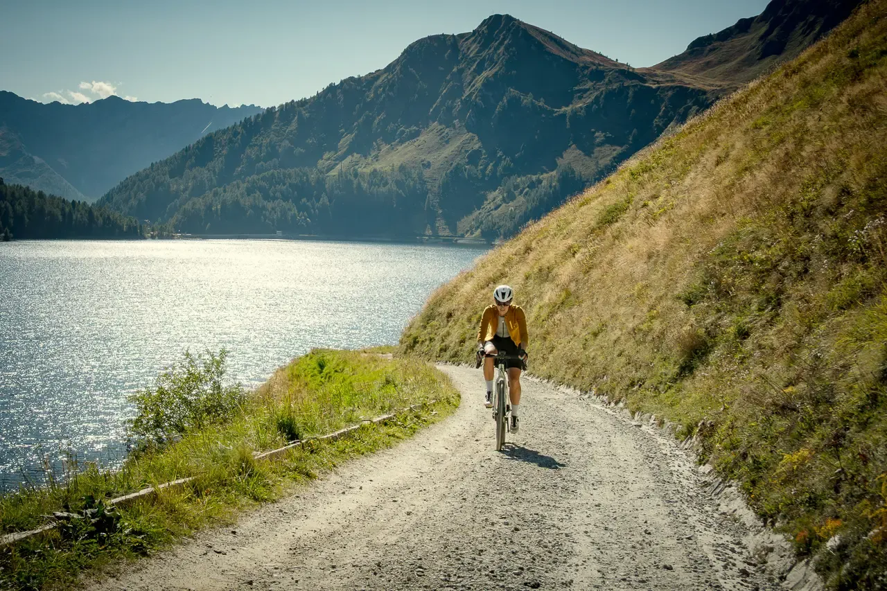
Ticino hut-to-hut: a 3-day alpine gravel escape
On the hunt for crystals and alpine lake magic – Gotthard Crystal Trek
On the hunt for crystals and alpine lake magic – Gotthard Crystal Trek
レヴェンティナでのの他の冒険


コミュニティからのヒント

ゴッタルド峠は、スイスで最も有名で歴史的なアルプス越えの一つです。レポント・アルプスに位置し、標高2,106メートルにあり、中央ヨーロッパと南ヨーロッパを結んでいます。具体的には、ティチーノ州(アイローロ)とウーリ州(ホスピタル)間の直接的な道路接続として機能しています。 頂上と山塊は、旅行のニーズに応じてさまざまな方法で越えることができます。 新しい峠道:夏の月には、景観が良く、スムーズな、モダンで舗装されたバリアントです。 トレモラ:24ものポルフィリーで舗装されたヘアピンカーブが特徴の、有名な歴史的な南斜面で、サイクリスト、バイカー、ノスタルジストに非常に愛されています。 道路トンネル(A2):全長16.9kmの高速道路トンネルで、年間を通じて開通しており、迅速ですが、しばしば交通渋滞や混雑の影響を受けます。 鉄道トンネル:1882年の先駆的なトンネルと、最新のゴッタルドベーストンネルを含め、非常に高速です。
2
0


At 2,478 meters above sea level, the Nufenen Pass (Nufenenpass in German) connects the Goms Valley in the upper Valais with the Bedretto Valley in the upper Ticino. From Airolo, the climb is approximately 22 kilometers (average gradient 5.6%), while from Ulrichen it is shorter but more challenging: 14 kilometers at an average gradient of approximately 7.9%.
0
0

The pass between Italy and Switzerland. From the Maria Luisa Refuge, the route is easy and can also be used by mountain bikers.
1
1

Border Excursion 🇮🇹🇨🇭 to the San Giacomo Pass 🚴
1
0

We - over-60s with good mountain skills - descended from the Cabanna Cadlimo through the Val Cadlimo to the Lukmanier Pass. The common description that the route is mostly on easy-to-walk paths is a dangerous understatement. It goes over long stretches over boulder fields, which require very good surefootedness and balance. Then down over some smooth rock ledges, which are secured with chains. So it's not all that easy!
1
0

Good CAS hut at the westernmost tip of Ticino.
2
0
Plenty of space to park. From here you can also start tours towards Airolo or Ulrichen and then take the post bus back.
2
0

komootモバイルアプリでインスピレーションを得よう


さらに探索
これらのガイドでさらに素晴らしい頂上を見てみましょうレヴェンティナでの:
