ルート

プランナー

機能

アップデート

App

ログインまたはサインアップ

アプリを入手

ログインまたはサインアップ

ルート
Places to see
Mountain Peaks
スイス
ティチーノ

ブレニオ

ブレニオの絶景の山頂・トップ20


絶景を目指して登るのであれ、達成感のために登るのであれ、山頂を訪れることで、ブレニオの美しい自然をもっと満喫することができます。20
もの選択肢の中から、制覇する山頂を決めるのは簡単ではありません。スムーズに次の冒険で目指す山頂を選べるように、ブレニオの素晴らしい山頂をこのガイドにまとめました。

最終更新日: 7月 7, 2026

ルクマニエール峠頂上

ハイライト • 山道

Lukmanier Pass
When the Disentis monastery was founded around 720, the Lukmanier Pass, which could be crossed without great difficulty and was also considerably lower than the other passes in …

翻訳者 Google •

役立つ情報

によるものです

ここでのライドを見る

スマートフォンに送信

保存

The black rocks are really wonderful to look at. Was one of the highlights of my tour.

翻訳者 Google •

役立つ情報

によるものです

保存

今すぐサインアップして、こんな場所を発見しよう

最高のシングルトラック、ピーク、その他のエキサイティングなアウトドアスポットのおすすめを受け取ろう。

無料新規登録

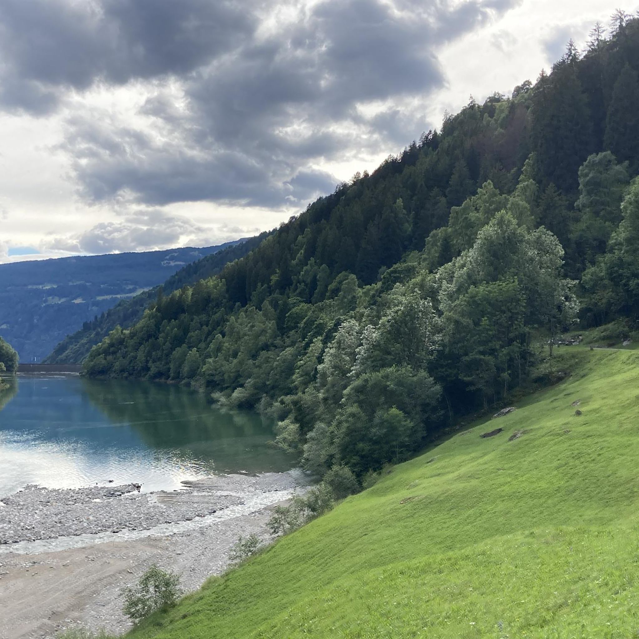
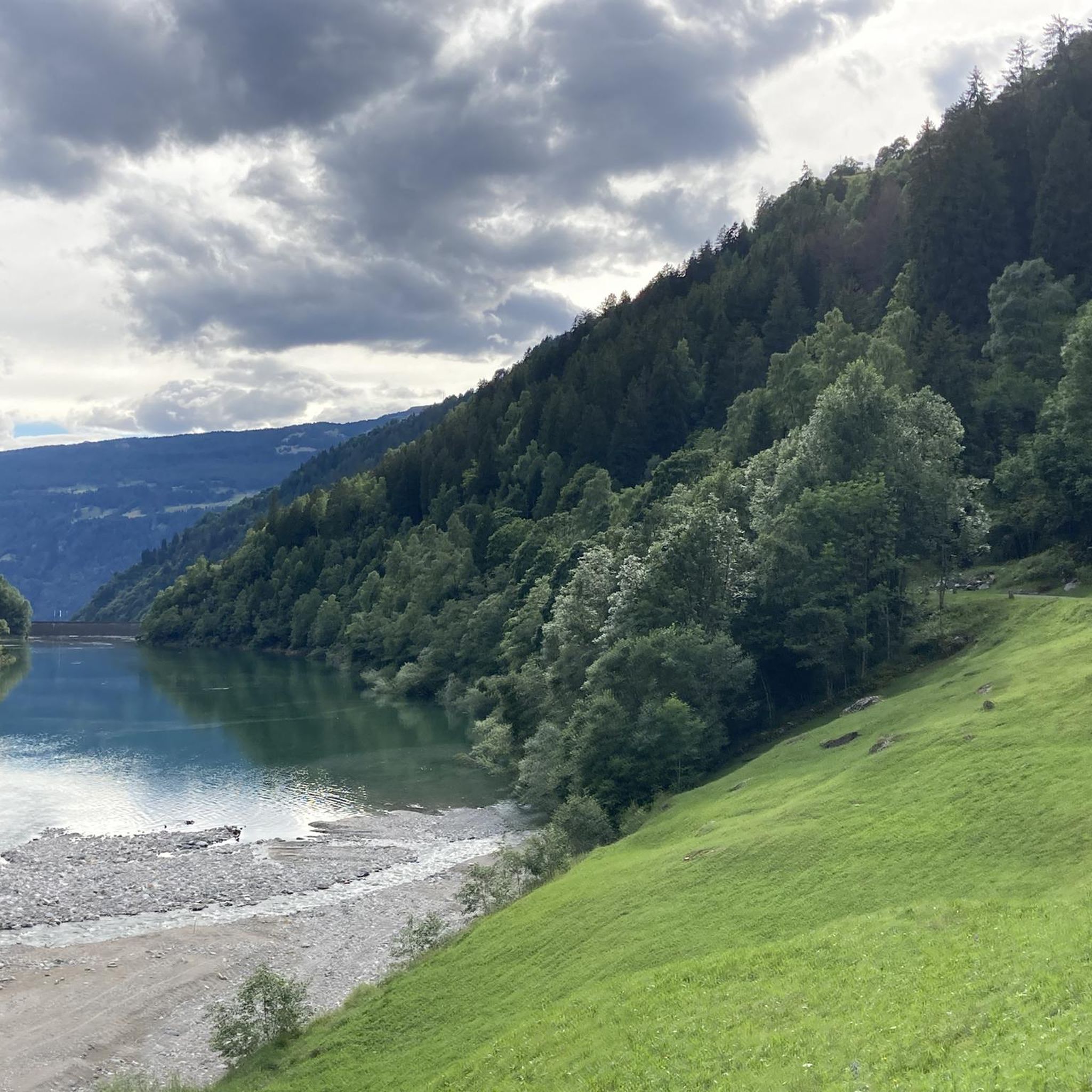
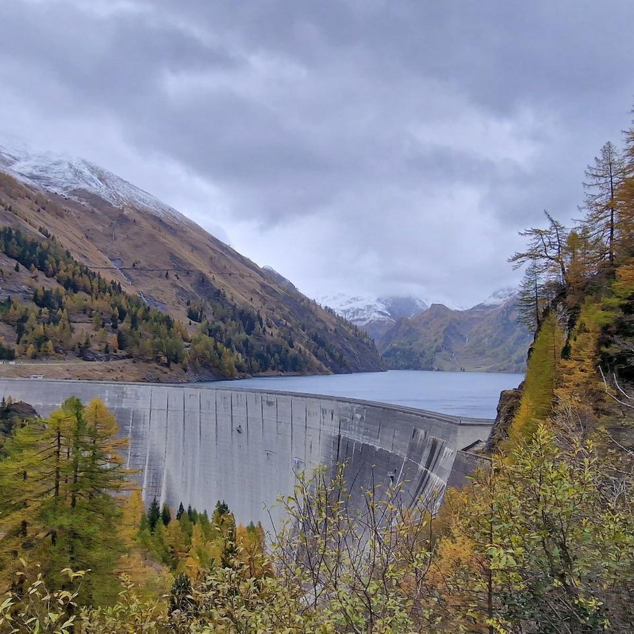
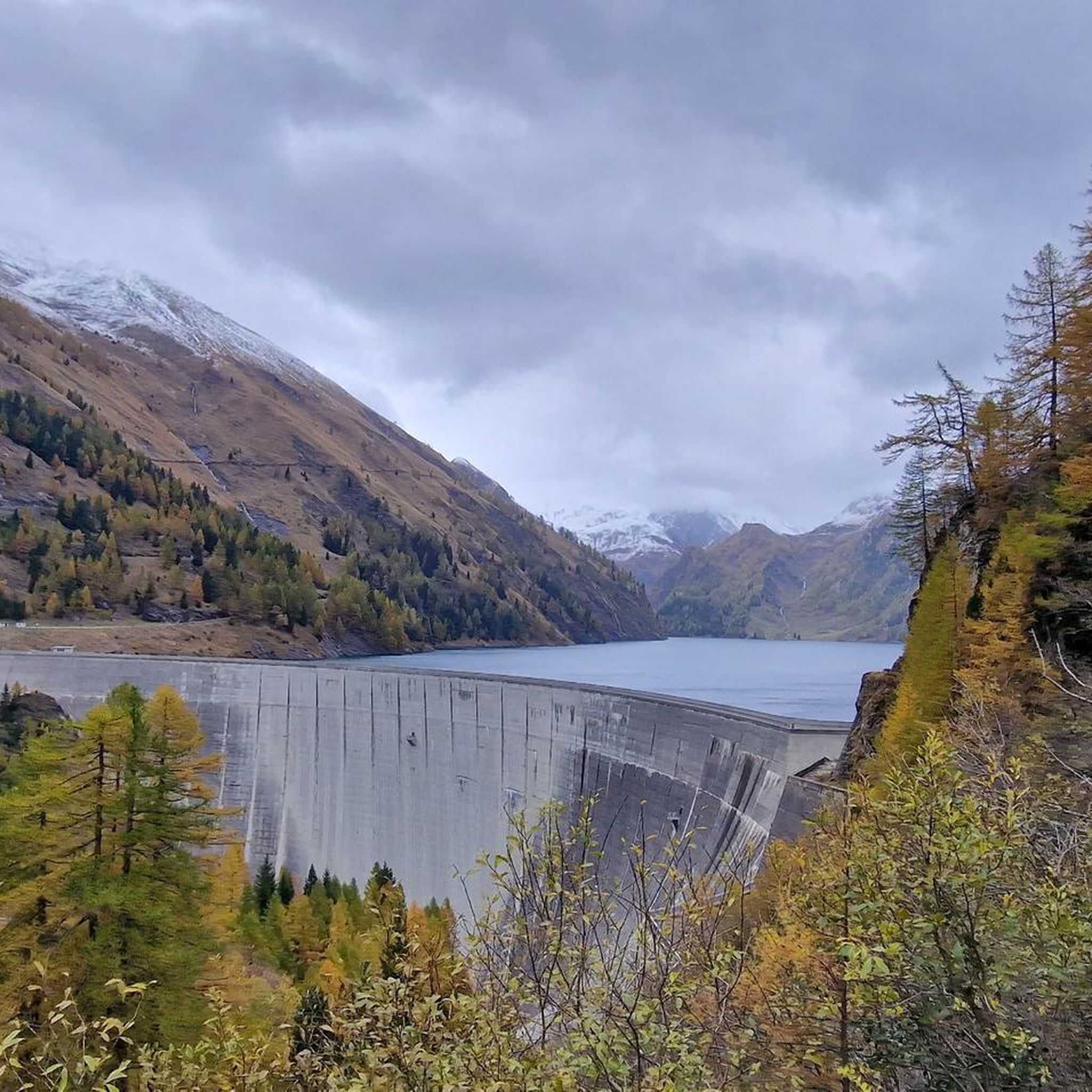
Lake Luzzone is located in the upper Blenio valley at 1590 meters above sea level. It is an artificial basin originating from a 225 meter high dam and completed in 1963.

翻訳者 Google •

役立つ情報

によるものです

保存

アクアロッサ温泉

ハイライト • 自然記念物

The town is of Etruscan origin and dates back to the mid-7th century BC. The current name derives from the nearby iron-rich water source.

翻訳者 Google •

役立つ情報

によるものです

保存

Crap la Crusc

ハイライト • 自然記念物

Crap la Crusc, the cross-rock, forms the center of the Greina. It symbolically unites earth and sky and is the only significant human intervention in this Nordic-style high valley.
Crap …

翻訳者 Google •

役立つ情報

によるものです

保存

マトロ山頂と通信塔

ハイライト • 山頂

Magnificent views of Mount Matro and the Leventina and Blenio Valleys.

翻訳者 Google •

役立つ情報

によるものです

保存

レオンティカ

ハイライト • 集落

Mountain village with a magnificent view, fountain and restaurant.

翻訳者 Google •

役立つ情報

によるものです

保存

カパンナ・ゴルダ

ハイライト • 山小屋

The Gorda hut is an alpine refuge at almost 1800 m above sea level. It is a perfect place for a regenerating break during a walk.

翻訳者 Google •

役立つ情報

によるものです

保存

ピッツォ・ロセット

ハイライト • 山頂

Although rather immodest as a mountain, the Pizzo Rossetto is often visited - on the one hand because of its landscape characterized by sparse larch forest, on the other hand …

翻訳者 Google •

役立つ情報

によるものです

保存

モンテ・フォッパ

ハイライト • 山頂

Done, you are up at 1,562 meters above sea level.

翻訳者 Google •

役立つ情報

によるものです

保存

無料でサインアップして、さらに多くの山を発見しましょう ブレニオでの。

無料新規登録

すでにアカウントをお持ちですか?

無料アカウントで今日から始めよう

次の冒険が待っています。

ログインまたは登録

ブレニオ周辺で人気

Alpine Passes Trail - サウファーシラールトリアルド 700km インスラールト

純粋な山の楽しみの34ステージ - スイスのアルプス山峠トレイルでハイキング
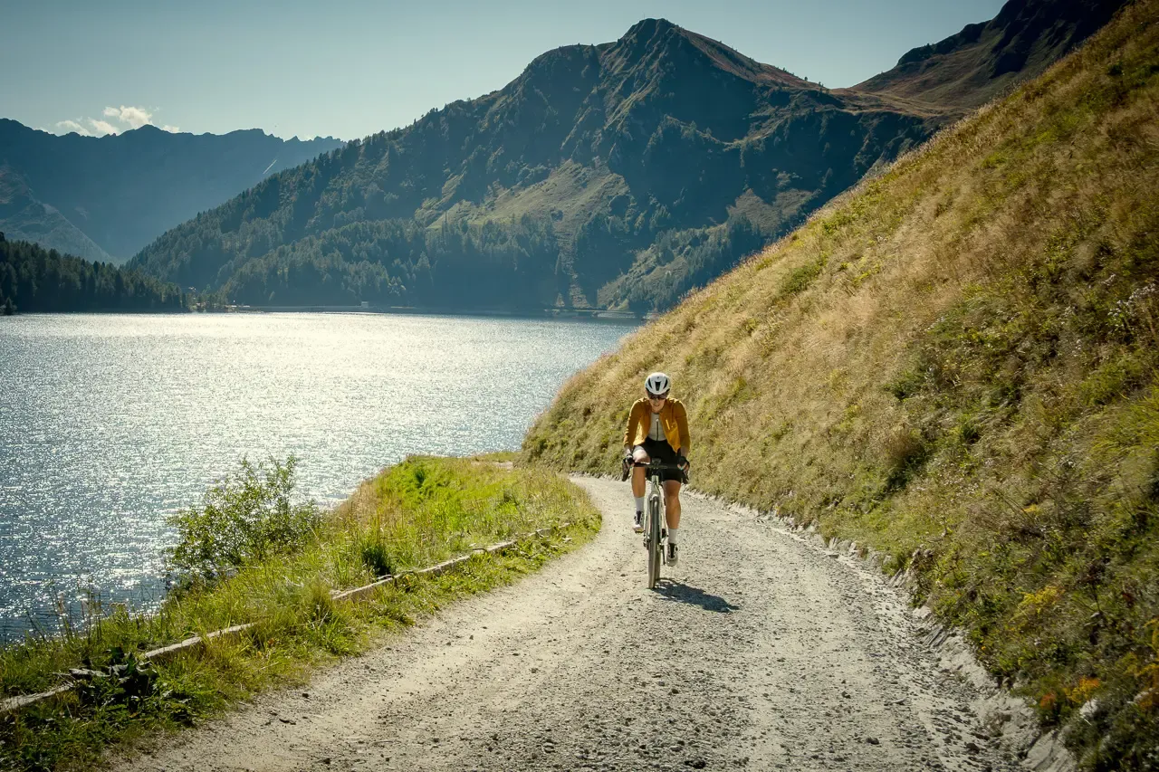
Ticino hut-to-hut: a 3-day alpine gravel escape
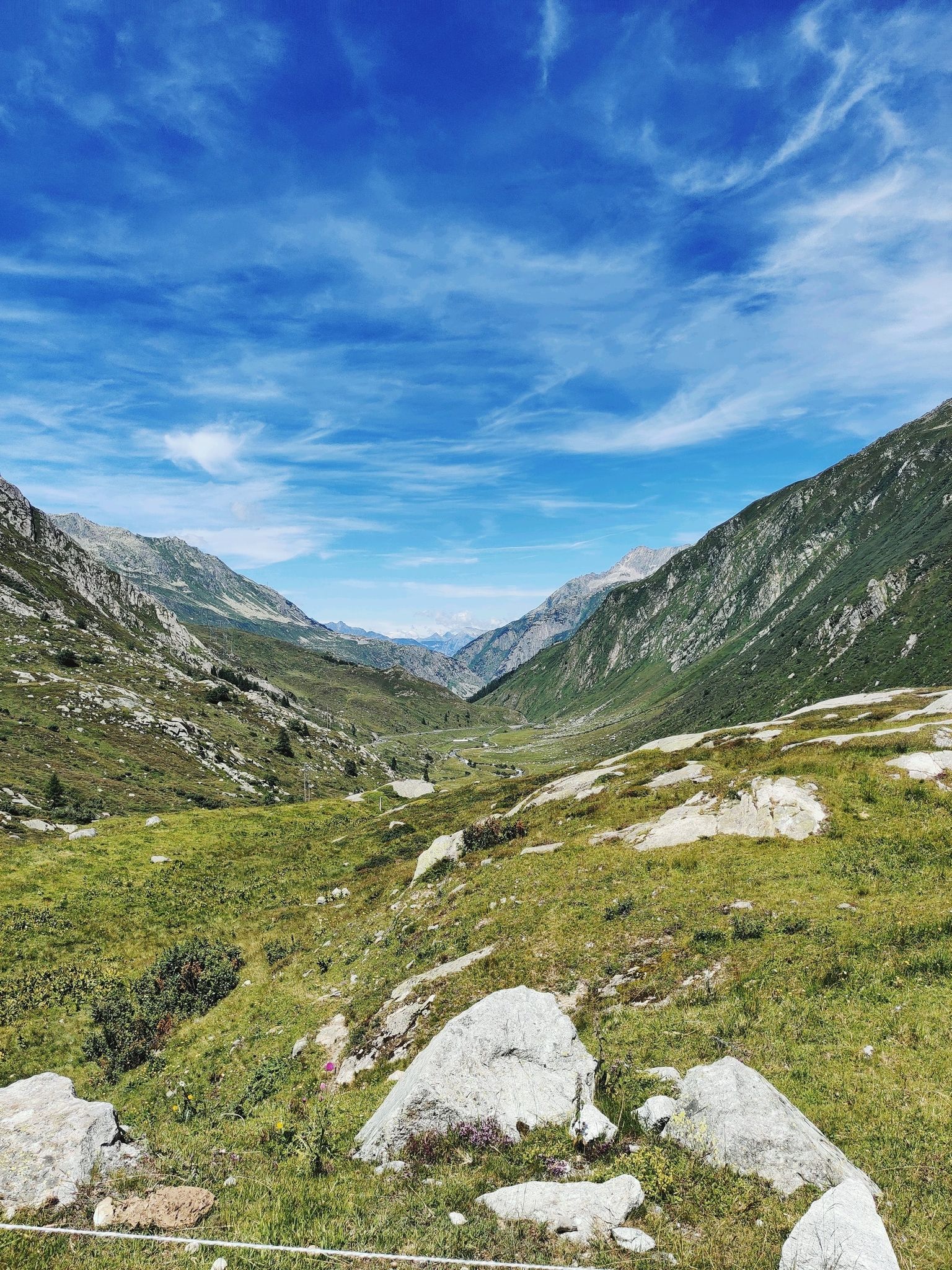
アルプスの伝説の交差 - ゴッタルドバイクルート
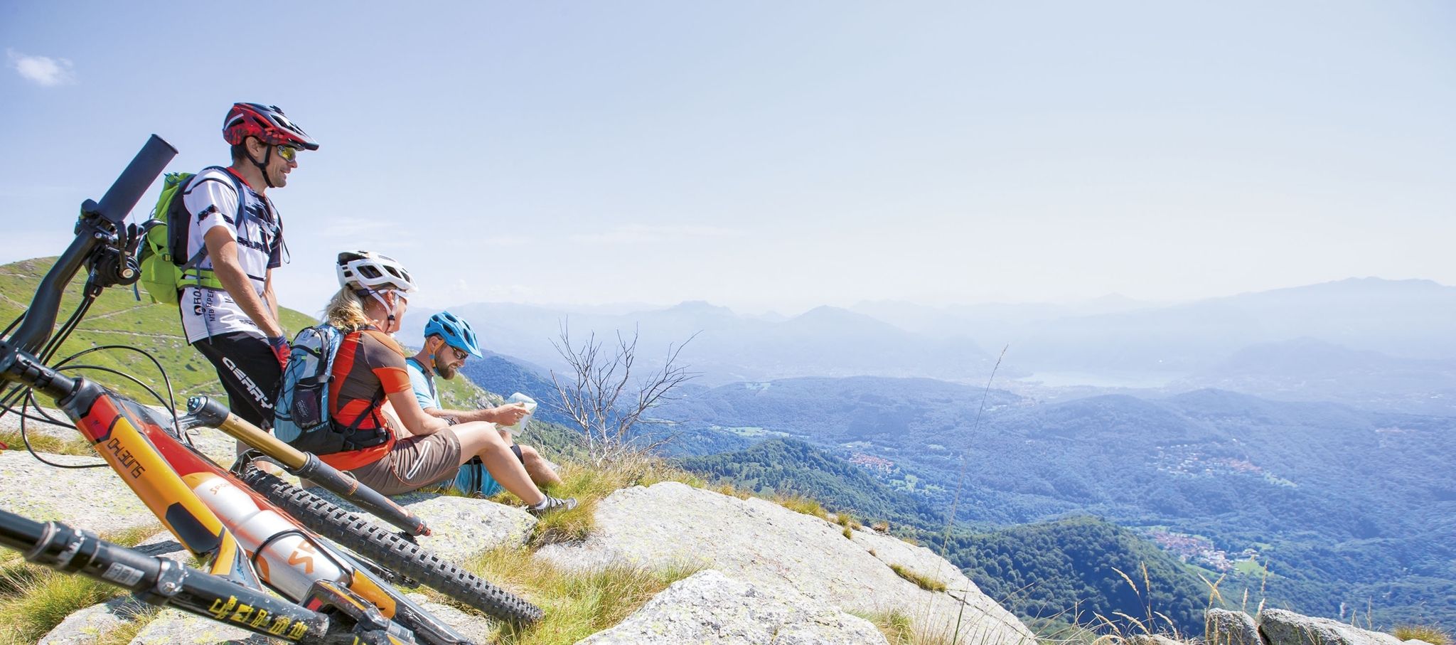
Ride together – the komoot MTB relay through Ticino in Switzerland
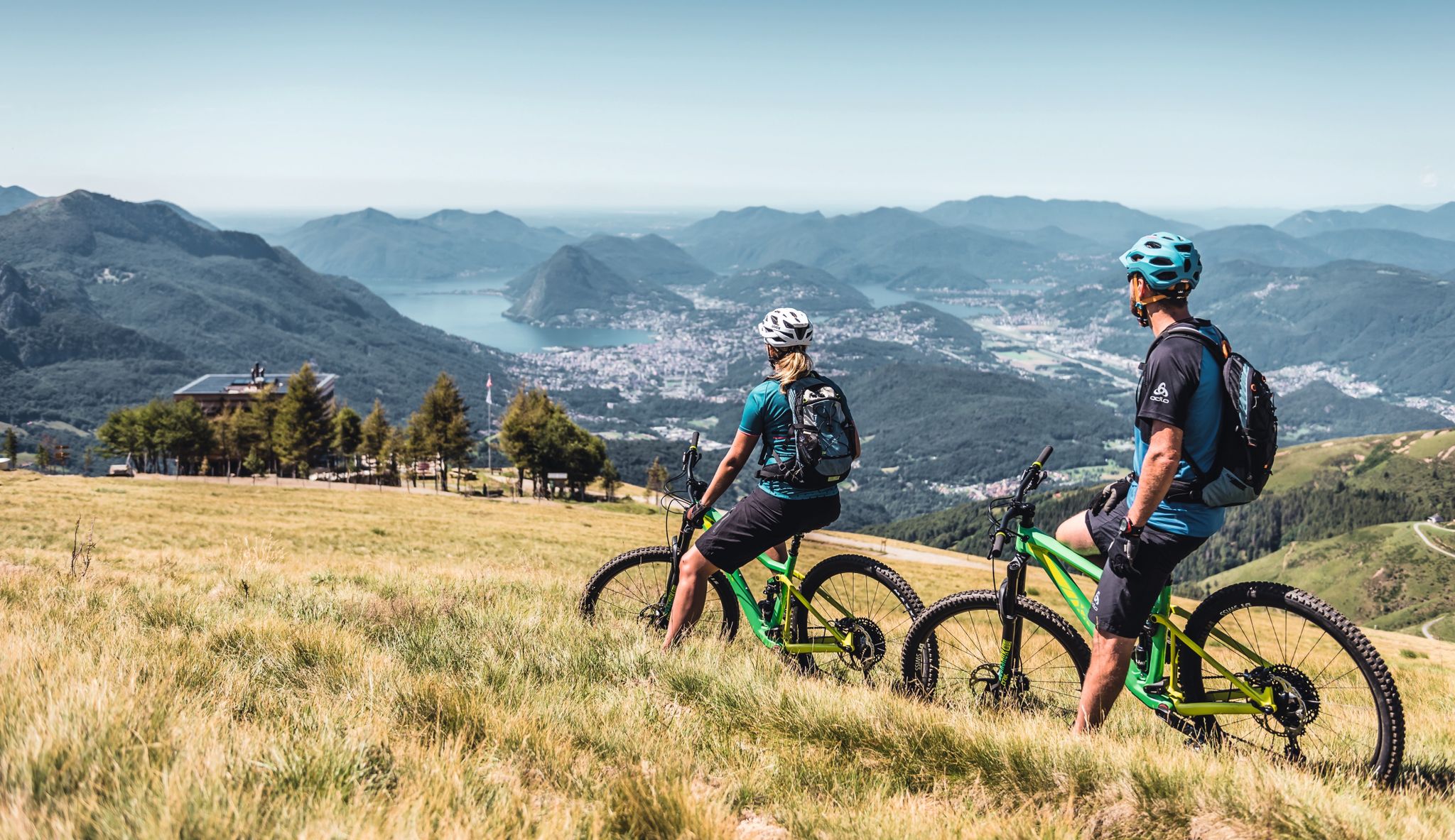
Wine, mountains & lakes – six top MTB Tours in Ticino in Switzerland
ブレニオでのハイキング
ブレニオのMTBトレイル
ブレニオでのサイクリング
ブレニオのランニングコース

ブレニオでのの他の冒険

Alpine Passes Trail - サウファーシラールトリアルド 700km インスラールト

ハイキングのコレクション によって

Adventurer Nic

コミュニティからのヒント

Associazione BlenioBike
4月 24, 2026, Acquarossa Thermal Springs

AcquarossaはValle di Blenioの中心部に位置し、あらゆる好みに合わせた素晴らしいマウンテンバイクコースが満載の谷です。komoot www.komoot.com/it-it/collection/3576744/-blenio-bike-28-tour-mtb-in-valle-di-blenio-la-valle-del-soleで、または協会の公式サイトwww.bleniobike.chでそれらを発見してください。

Google翻訳による翻訳

0

0

ここからこの地域での数多くのエンデューロトレイルが始まります。www.bleniobike.chで発見するか、公式ルートコレクションhttps://www.komoot.com/it-it/collection/3576744/-blenio-bike-28-tour-mtb-in-valle-di-blenio-la-valle-del-soleをご覧ください。

Google翻訳による翻訳

0

0

素晴らしい山の村で、MTBやハイキングの出発点として最適です。詳細については、www.bleniobike.ch をご覧いただくか、komoot の公式ルート コレクションをご覧ください: https://www.komoot.com/it-it/collection/3576744/-blenio-bike-28-tour-mtb-in-valle-di-blenio-la-valle-del-sole

Google翻訳による翻訳

0

0

The black rocks are really wonderful to look at. Was one of the highlights of my tour.

Google翻訳による翻訳

2

0

Lukmanier Pass When the Disentis monastery was founded around 720, the Lukmanier Pass, which could be crossed without great difficulty and was also considerably lower than the other passes in the Alps, became very important. During the Staufer period, it was considered the most important north-south connection to Italy. However, it quickly lost this role to the Gotthard and Splügen passes. In 1374, the Disentis monastery built the "Hospezi S. Maria" with a chapel on the top of the pass. Both had to make way for the construction of the reservoir in 1964. The new hospice at the current location was inaugurated on August 1, 1965 and the chapel in 1967. The Lukmanier Pass played an important role in the choice of the route of an Alpine railway at times, because the planners assumed that it would be possible to build it without an expensive summit tunnel. In 1869, however, the decision was made in favor of the Gotthard railway. Between 1872 and 1877, a modern road was built over the Lukmanier. With the construction of the "Lai da Sontga Maria" reservoir in the 1960s, the road on the Graubünden side had to be relocated to a gallery. The importance of a supra-regional transport axis ended with the opening of the motorway tunnel through the Gotthard. Tourism in the Surselva began to suffer greatly as a result, especially as the pass was closed during the winter from 1980 onwards. On the initiative of the municipality of Disentis and the Surselva mountain railways in particular, the "Pro Lucmagn" association was founded, which has been responsible for ensuring that the Lukmanier pass remains open for as long as possible in winter since 2005. The canton, district, municipalities and tourism in both Graubünden and Ticino provide the finances. The five-year trial phase was positive. This project has been secured for the long term since 2011. Clearly to the benefit of tourism in the Surselva as well as in the Blenio Valley. Text / Source: Interest Group for Alpine Passes IAP, PO Box 11, 6491 Realp https://www.alpen-paesse.ch/de/alpenpaesse/lukmanierpass/

Google翻訳による翻訳

12

2

The Gorda hut is an alpine refuge at almost 1800 m above sea level. It's a perfect place for a regenerating break during a run.

Google翻訳による翻訳

1

0

Here you run on a narrow path that crosses soft green meadows and fragile sharp rocks.

Google翻訳による翻訳

1

0

Lake Luzzone is located in the upper Blenio valley at 1590 meters above sea level. It is an artificial basin originating from a 225 meter high dam and completed in 1963.

Google翻訳による翻訳

2

0

ブレニオでのの人気ルート

ブレニオでのハイキング

ブレニオでのの人気観光スポット

Places to see

Store rating

komootモバイルアプリでインスピレーションを得よう

無料のkomootアカウントがあれば、無限のアウトドアコースを簡単に見つけてカスタマイズし、ナビで案内できます。

または

今すぐkomootに参加しよう

Store rating

探していたものは見つかりませんでしたか?

ブレニオの最高の山や頂上を地域ごとに発見しましょう:

セッラヴァッレアックアロッサ

近くのアドベンチャーガイド

アックアロッサでやるべきこと

background

新しいピークを征服する準備をしよう

無料でサインアップ

探検する
ルートルートプランナー機能ハイキングMTBトレイルロードバイクルートバイクパッキングサイトマップ
アプリをダウンロード
SNSでフォローする

© komoot GmbH

プライバシーポリシー
