ユリウスブルクのおすすめウォーキング&ハイキングルート
4.6
(2822)
9,976
ハイカー
596
ハイキング
ユリウスブルク 周辺でおすすめのハイキングやウォーキングを楽しんでいただけるように、このエリアの小径やルートを集めたkomootコレクション全体を見直しました。 以下で各ルートの詳細をご覧になり、ユリウスブルク周辺の大自然を満喫する際の参考にしてください。
最終更新日: 10月 5, 2026
4.8
(180)
500
ハイカー
11.7km
03:06
110m
110m
中程度のハイキング. ある程度のフィットネスレベルが必要です。 進みやすいルートです。あらゆるスキルレベルに適しています。
4.8
(66)
237
ハイカー
10.8km
02:47
60m
60m
中程度のハイキング. ある程度のフィットネスレベルが必要です。 進みやすいルートです。あらゆるスキルレベルに適しています。

4.8
(27)
91
ハイカー
12.6km
03:18
90m
90m
中程度のハイキング. ある程度のフィットネスレベルが必要です。 進みやすいルートです。あらゆるスキルレベルに適しています。
4.7
(29)
71
ハイカー
6.60km
01:45
60m
60m
初級者向けハイキング. あらゆるフィットネスレベルに適しています。 進みやすいルートです。あらゆるスキルレベルに適しています。
4.3
(6)
18
ハイカー
10.8km
02:48
60m
60m
中程度のハイキング. ある程度のフィットネスレベルが必要です。 進みやすいルートです。あらゆるスキルレベルに適しています。
さらに多くのルートや他のユーザーのおすすめ情報を確認できます。
すでにアカウントをお持ちですか?
おすすめのツアーは他のkomootユーザーが実際に経験した何千ものアクティビティに基づいています。
無料アカウントで今日から始めよう
次の冒険が待っています。
コミュニティからのヒント

旧市街の散策は一見の価値があります。多くの美しい木組みの家を見ることができます。建物にはその建物に関する情報パネルが掲示されています。 エルベ川沿いの道も美しいです
0
0
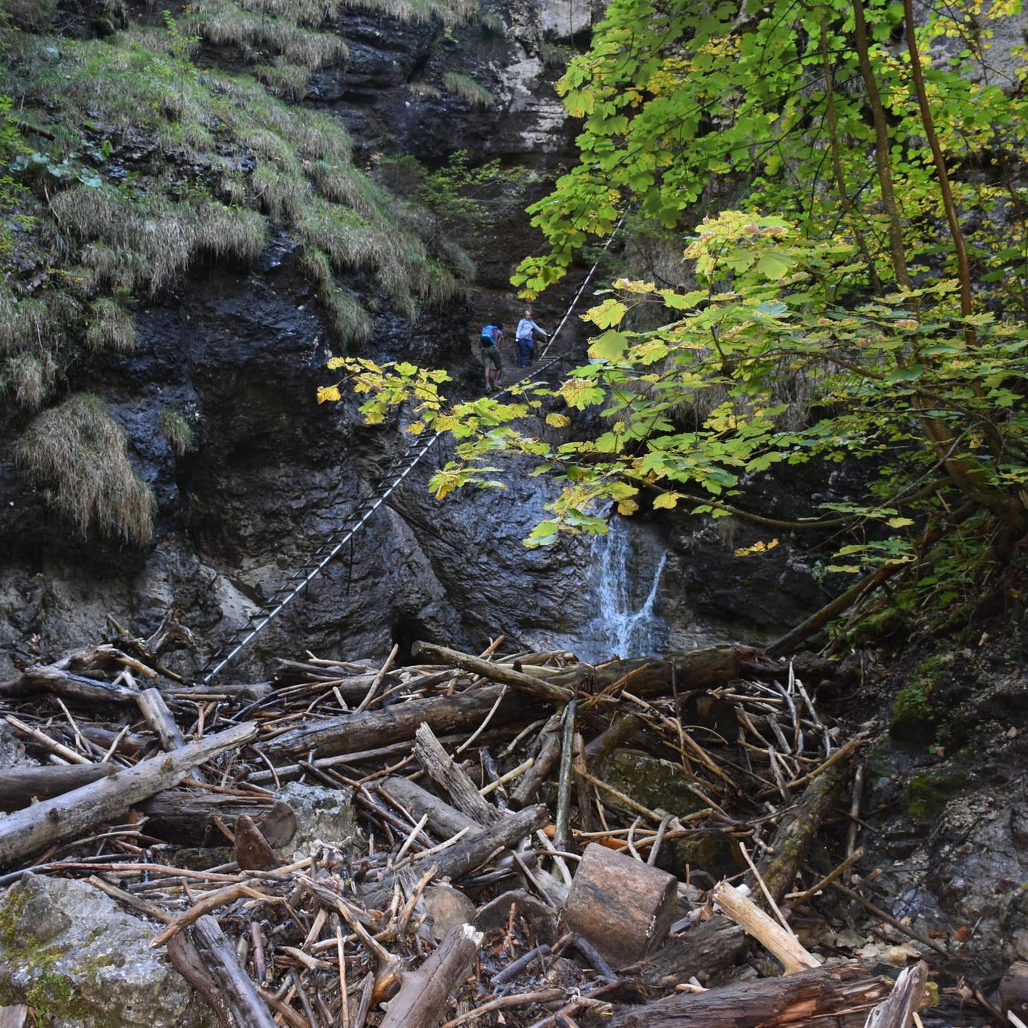
経験豊富なハイカー向けの挑戦的なトレイル このルートでは、確実な足元が必要です。トレイルは主に狭く、起伏の多い地形が特徴です。 地面は細かい砂利状の舗装でできているため、グリップ力のあるソール(例:Vibram/カテゴリーB)を備えた丈夫な靴が絶対に必要です。 倒木により道が部分的に塞がれている場合がありますのでご注意ください。これらの障害物を乗り越えるには、ある程度の基本的な運動能力が必要です。
0
0

For the history of the beaver in other peoples, there are descriptions here
0
0

The "Hohes Elbufer" (W30) hiking trail also runs along this spot, which I highly recommend. All information about the hiking trail can be found at the following link: https://wanderjugend.de/deutsche-wanderjugend/jugendwanderwege/die-jugendwanderwege/norddeutschland/hohes-elbufer (as of May 19, 2025).
0
0

The Elbe foreland is characterized by changing riverbanks, herbaceous meadows, and willow thickets. Near-natural softwood floodplains of purple willow and black poplar grow here. Many rare species, such as the river lamprey and the beaver, find their habitat here; in northern Germany, these species often occur exclusively in the Elbe glacial valley. In addition to these natural treasures, the biosphere reserve also features a medieval rampart on the Old Salt Road, south of Schnakenbek. It once protected the Elbe crossing on the important trade route between Lübeck and Lüneburg. Today, you can still see the remains of the circular rampart. You can find out more about the biosphere reserve here: https://nationale-naturlandschaften.de/gebiete/flusslandschaft-elbe-schleswig-holstein
0
0

Located directly on the banks and slopes of the Elbe River, historic half-timbered houses line Elbstraße. With its many lovingly restored buildings, Lauenburg's Old Town is the largest historic monument ensemble in all of Schleswig-Holstein. A stroll along the old cobblestone streets of this maritime town brings history to life. Numerous narrow alleys and stairways connect the Old Town with the Upper Town. The castle, with its castle tower and Prince's Garden, is a reminder of the era of the Ascanian dukes. Source: https://www.lauenburg.de/tourismus/
1
0

Beautiful view of the Elbe and across the river to Artlenburg
0
0
It is located about 150 meters further west than indicated by komoot
0
0
ユリウスブルクでのの人気観光スポット

komootモバイルアプリでインスピレーションを得よう


さらに探索
他の地域の最高のハイキングを見てみましょう。
