ラインヘッセンのユーゲンハイムのおすすめウォーキング&ハイキングルート
4.6
(6313)
25,034
ハイカー
13
ハイキング
ラインヘッセンのユーゲンハイム周辺でのハイキングは、景色を満喫するのに最適な手段のひとつですが、適切なハイキングルートを見つけることは簡単ではありません。 ラインヘッセンのユーゲンハイム周辺の人気ハイキング&ウォーキングコースを参考にすれば、行きたいルートをすぐに見つけられます。
最終更新日: 10月 4, 2026
4.3
(15)
41
ハイカー
中程度のハイキング. ある程度のフィットネスレベルが必要です。 進みやすいルートです。あらゆるスキルレベルに適しています。
4.8
(4)
42
ハイカー
初級者向けハイキング. あらゆるフィットネスレベルに適しています。 進みやすいルートです。あらゆるスキルレベルに適しています。

4.7
(3)
8
ハイカー
11.9km
03:15
190m
190m
中程度のハイキング. ある程度のフィットネスレベルが必要です。 進みやすいルートです。あらゆるスキルレベルに適しています。
4.0
(1)
13
ハイカー
中程度のハイキング. ある程度のフィットネスレベルが必要です。 進みやすいルートです。あらゆるスキルレベルに適しています。
12
ハイカー
初級者向けハイキング. あらゆるフィットネスレベルに適しています。 進みやすいルートです。あらゆるスキルレベルに適しています。
さらに多くのルートや他のユーザーのおすすめ情報を確認できます。
すでにアカウントをお持ちですか?
おすすめのツアーは他のkomootユーザーが実際に経験した何千ものアクティビティに基づいています。
無料アカウントで今日から始めよう
次の冒険が待っています。
コミュニティからのヒント


The legendary Cologne singer-songwriter Ludwig Sebus (born 1925) recently took up his pen again, shortly before his 100th birthday, and wrote a peace song, "Die wiesse Duuv" (The White Dove). The refrain goes: "For peace is far superior to hate; we will never give up our freedom in life." "Die wiesse Duuv weed immer hüher fleeje un selvs brunge kömen do nit hingerher Denn Fridde es däm Hass huh övverläje uns Freiheit jevve mer em Levve nie mieh her" Those who don't mind the Rhineland dialect can listen to the song on YouTube: https://www.youtube.com/watch?v=dbgkPFGL38U
0
0

This is a wonderfully designed rest stop with a beautiful view, definitely invites you to enjoy a glass of cool wine ("take a hiking glass with you")
0
0

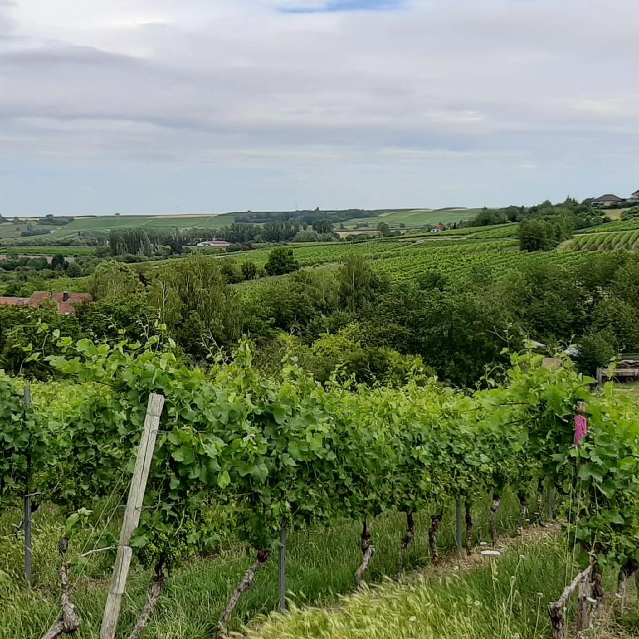
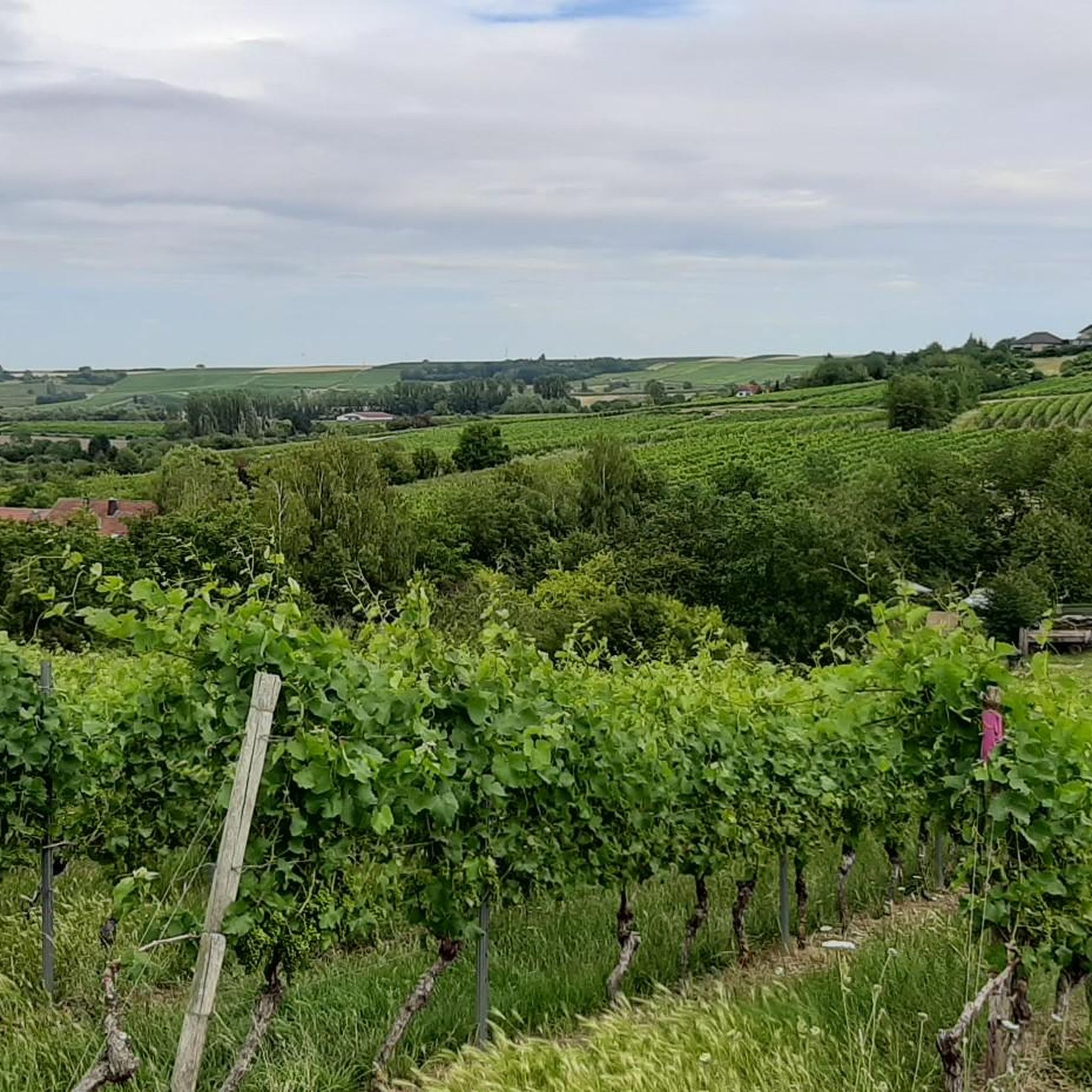
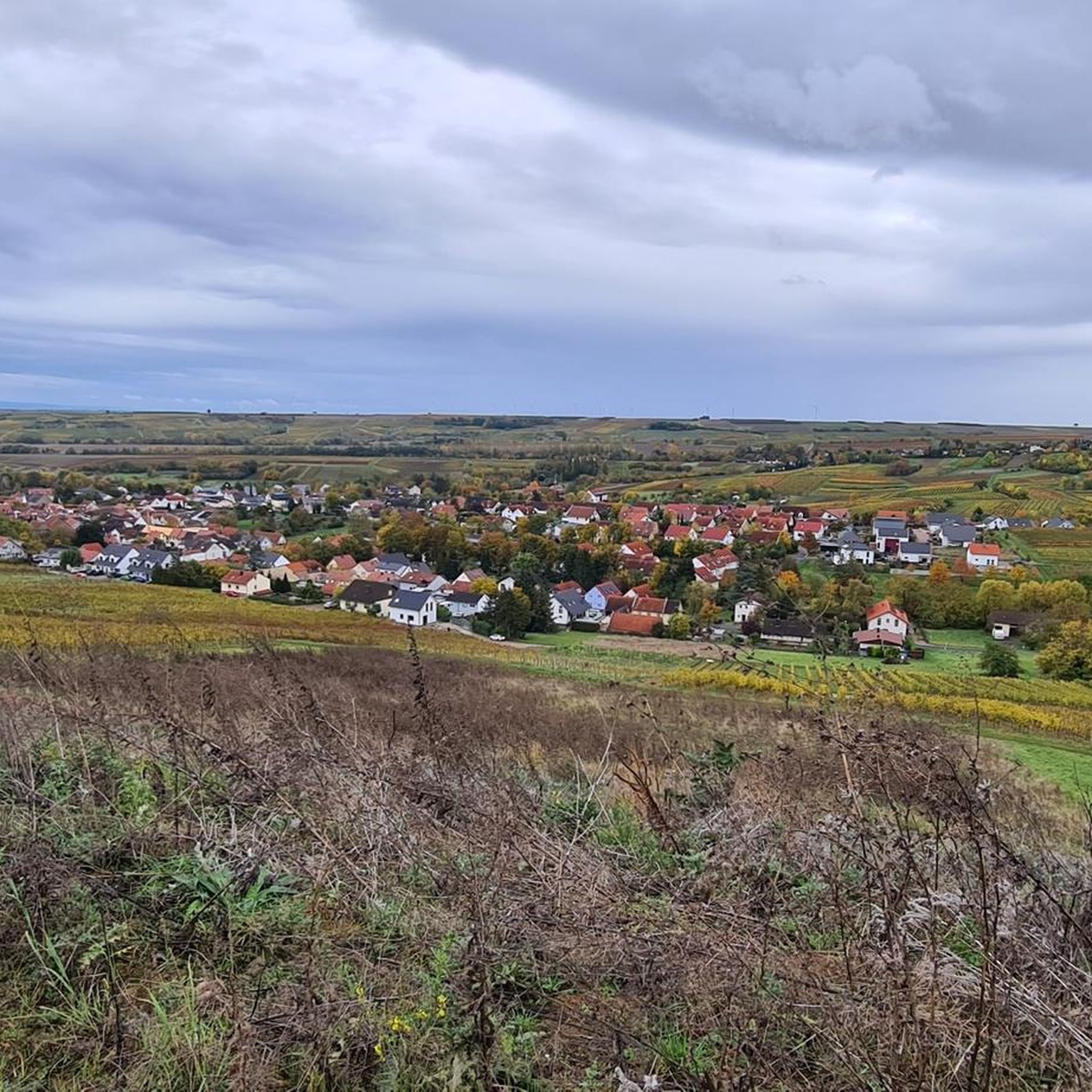
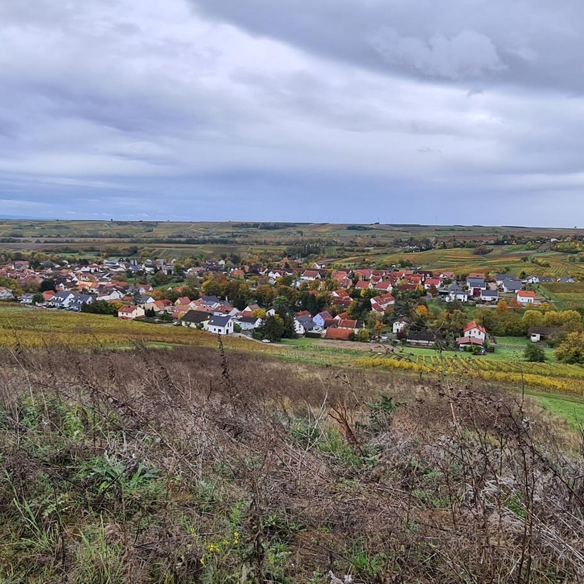
The Selztal Terroir Trails are easy, one- to two-hour hikes through the vineyards and lowlands of the Middle Selz Valley, offering a fascinating glimpse into the origins of the wines and the diverse terroir in which the vines grow. One of the terroir trails, marked "STR1," begins directly in Jugenheim at the market square and leads you along the Jugenheim Goldberg hill for 7.8 km, from where you can enjoy a magnificent view of the Selz Valley stretching to the Taunus mountain range. Further information, including details on the other terroir trails, can be found on the Rheinhessen Tourism Association website. Enhance your hike with a visit to one of Jugenheim's restaurants or a wine tasting at a local winery. Directions by car: Parking lot at the sports and community hall. GPS address: Schulstraße 13, 55270 Jugenheim
1
0
A bench with a small table and a great view among the vineyards,
1
0
And above all, there is also a comfortable vineyard lounger here.
1
0
The ruins of the Eleven Thousand Maidens Tower (also known as the Eleven Thousand Maidens Mill) in the Elsheim district owe their name to a legend surrounding Saint Ursula of Cologne. This late medieval road barrier stood at the crossing of the Selz River on the old road from Mainz to Kreuznach (west of the village). Saint Ursula is said to have used this road with her retinue of 11,000 virgins on their way to Rome – hence the name "Eleven Thousand Maidens Tower." The tower was originally a fortified gatehouse with a bridge. The course of the Selz River was altered in the 1960s, so the bridge no longer spans the river.
1
0
ラインヘッセンのユーゲンハイムでのの人気観光スポット

komootモバイルアプリでインスピレーションを得よう


さらに探索
他の地域の最高のハイキングを見てみましょう。
