エンゲンのおすすめMTBライド
4.6
(226)
527
ライダー
92
ライド
エンゲン周辺でのマウンテンバイクは、その地形を最大限に楽しむのに最適なスポーツですが、ライドのスタート地点を探すのが難しいこともあります。エンゲン周辺でおすすめのルートが見つかるように、人気マウンテンバイクルートをご紹介します。
最終更新日: 10月 22, 2026
4.7
(12)
27
ライダー
45.0km
03:07
580m
580m
中程度のマウンテンバイクライド. ある程度のフィットネスレベルが必要です。
4.8
(8)
23
ライダー
29.2km
02:21
510m
510m
中程度のマウンテンバイクライド. ある程度のフィットネスレベルが必要です。 高度なライディングスキルが必要です。

4.7
(13)
35
ライダー
28.9km
02:19
530m
530m
中程度のマウンテンバイクライド. ある程度のフィットネスレベルが必要です。 高度なライディングスキルが必要です。
5.0
(1)
10
ライダー
32.9km
02:39
570m
570m
中程度のマウンテンバイクライド. ある程度のフィットネスレベルが必要です。
5.0
(36)
19
ライダー
17.5km
01:27
380m
380m
中程度のマウンテンバイクライド. ある程度のフィットネスレベルが必要です。 高度なライディングスキルが必要です。
さらに多くのルートや他のユーザーのおすすめ情報を確認できます。
すでにアカウントをお持ちですか?
おすすめのツアーは他のkomootユーザーが実際に経験した何千ものアクティビティに基づいています。
無料アカウントで今日から始めよう
次の冒険が待っています。
エンゲン周辺で人気
スワビア海へーフライブルク・ボーデンゼーのブラックフォレストトレイル

Culture, nature and water – leisure cycling on Western Lake Constance
Hiking breaks in the South – two-day routes in Baden-Württemberg
West Lake Constance’s cool spots – between lake and volcanoes
The state from above: 7 Summits of Baden-Württemberg
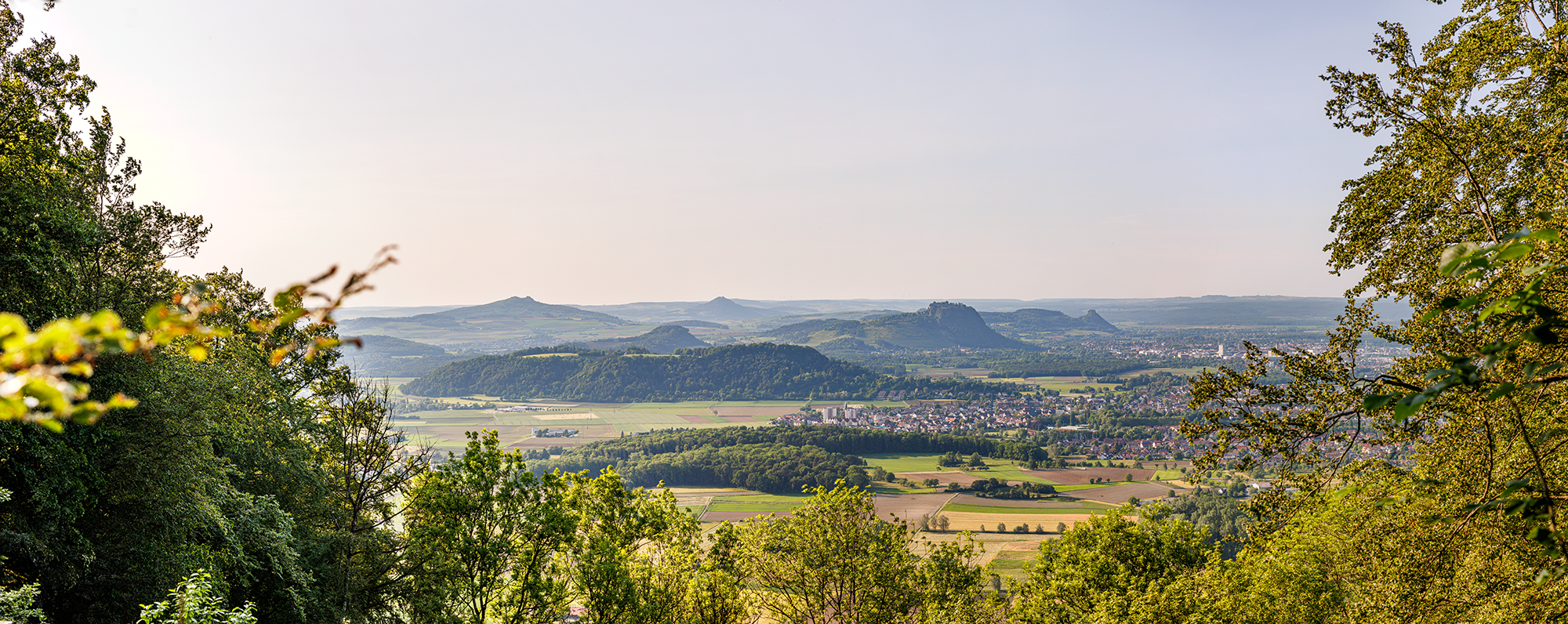
Between Islands and Volcanoes – premium hiking in Western Lake Constance
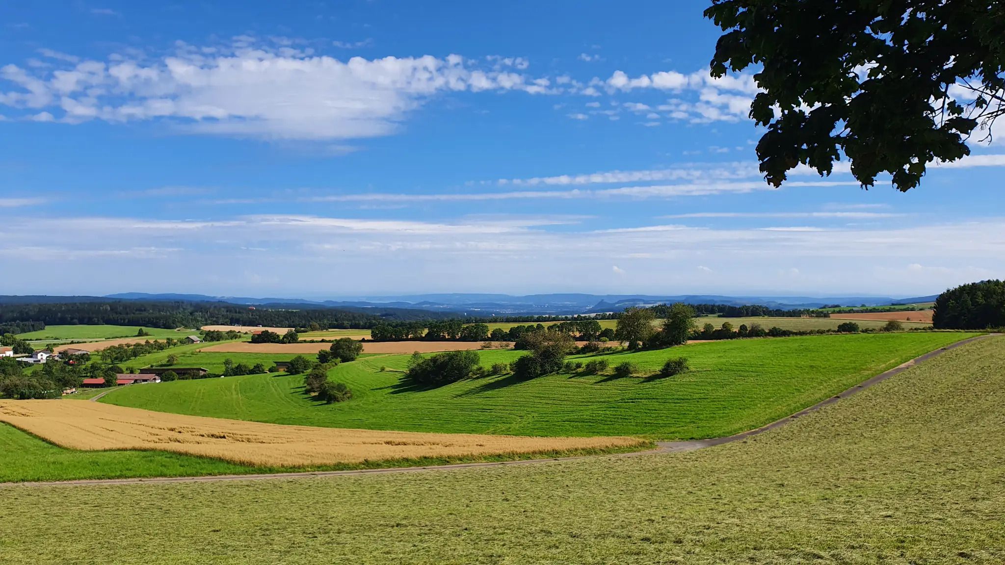
シュヴァルツヴァルト・ジュラ・ボーデンゼー・ヴェーグ
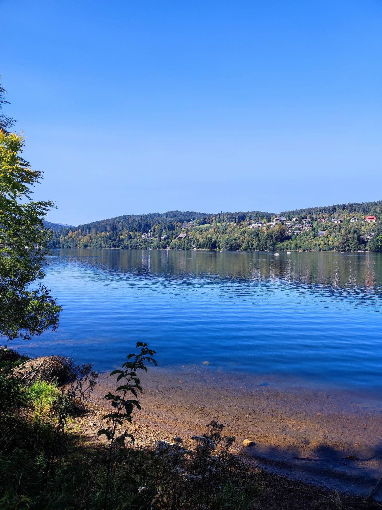
クエルヴェーク・フライブルク-ボーデンゼー

Fit in den Sommer – Radtouren in Konstanz und im Schwarzwald
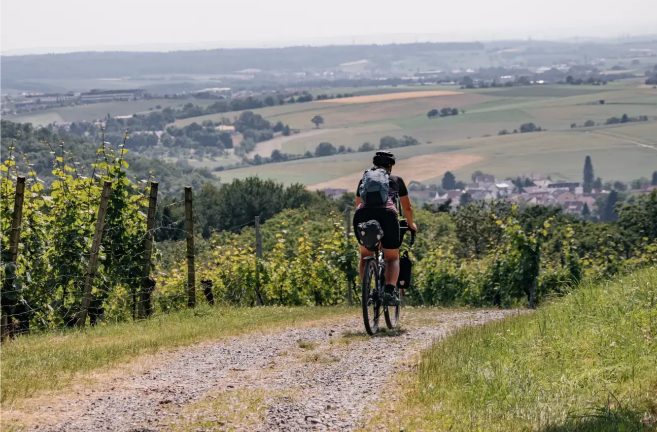
Bikepacking Baden-Württemberg: von Gipfel zu Gipfel
エンゲンでのの他の冒険


コミュニティからのヒント

エンゲン近郊の古い火山円錐は非常に印象的で、遠くまで見渡せます。
3
0

ヘーヴェネック・クレーターは、シュヴァーベン・ジュラ山脈に典型的なドリーネ(陥没穴)ではなく、本物の火口です。地質学的には、ヘガウ火山地帯に属します。玄武岩の採掘により、クレーターの現在の外観がさらに形成されました。ここからは素晴らしい景色を眺めることができます。
1
0

Great barbecue hut, the ideal place for a break.
0
0

Strictly speaking, it's more of a path than a trail, except for one very short section. So it's not a problem, although there are currently quite a few fallen trees lying around.
1
0

The Aachquelle is the largest spring in Germany.
11
0

A very good viewpoint overlooking the crater lake, with a small rest area and information panel. Even though there is a large fence around the crater rim for safety reasons, a good view is still possible.
8
0
Beautiful viewpoint from the hiking trail around the crater lake of the deep blue lake and the volcanic caldera.
8
0

Follow the sign "Danube Sinkhole." Either the water is there, or it's gone. Then you've arrived at the natural phenomenon of the Danube Sinkhole. The limestone rock layers from the Jurassic period, which form a large part of the Swabian Alb, are to blame for the disappearance of the Danube. Chemical dissolution processes create cracks and cavities within the limestone, into which the Danube water seeps. In summer, the riverbed dries out completely. However, the Danube hasn't completely disappeared – completely in summer and partially in the winter months. Exactly 183 meters lower and about 12 kilometers away, it then reappears: in the Aachtopf, Germany's largest spring. The water takes about 60 hours to complete its journey. The Danube's journey is far from over. Via the small river Aach, the water flows into Lake Constance and then via the Rhine into the North Sea. And the rest of the Danube? It flows through a total of 10 countries to the Black Sea.
4
0

komootモバイルアプリでインスピレーションを得よう


さらに探索
他の地域の最高のMTBトレイルを見てみましょう。
