エップシュタインのおすすめMTBライド
4.6
(436)
1,343
ライダー
87
ライド
エップシュタイン周辺でのマウンテンバイクは、その地形を最大限に楽しむのに最適なスポーツですが、ライドのスタート地点を探すのが難しいこともあります。エップシュタイン周辺でおすすめのルートが見つかるように、人気マウンテンバイクルートをご紹介します。
最終更新日: 10月 18, 2026
4.7
(138)
254
ライダー
28.5km
02:20
620m
620m
中程度のマウンテンバイクライド. ある程度のフィットネスレベルが必要です。 高度なライディングスキルが必要です。
4.8
(40)
96
ライダー
38.6km
03:45
970m
970m
難しいマウンテンバイクライド. 標準以上のフィットネスレベルが必要です。 高度なライディングスキルが必要です。

4.7
(15)
61
ライダー
26.2km
02:05
450m
450m
中程度のマウンテンバイクライド. ある程度のフィットネスレベルが必要です。 高度なライディングスキルが必要です。
4.4
(7)
34
ライダー
23.9km
01:50
400m
400m
中程度のマウンテンバイクライド. ある程度のフィットネスレベルが必要です。 高度なライディングスキルが必要です。
5.0
(5)
31
ライダー
22.5km
02:08
620m
620m
難しいマウンテンバイクライド. ある程度のフィットネスレベルが必要です。 高度なライディングスキルが必要です。ツアーの一部で自転車を押して歩く必要があるかもしれません。
さらに多くのルートや他のユーザーのおすすめ情報を確認できます。
すでにアカウントをお持ちですか?
おすすめのツアーは他のkomootユーザーが実際に経験した何千ものアクティビティに基づいています。
無料アカウントで今日から始めよう
次の冒険が待っています。
エップシュタイン周辺で人気

By bike and train into the green - cycling Tours around the EUROBIKE

Orchards, vineyards, taverns – hikes in the RMV area
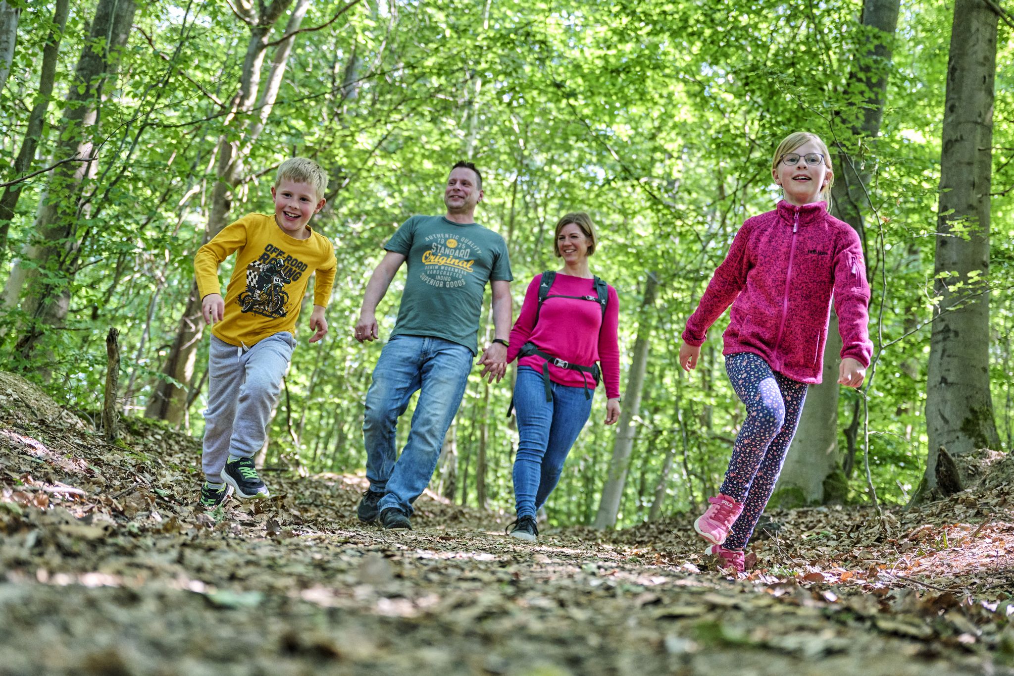
The journey is the adventure – hikes in Germany’s Taunus Mountains
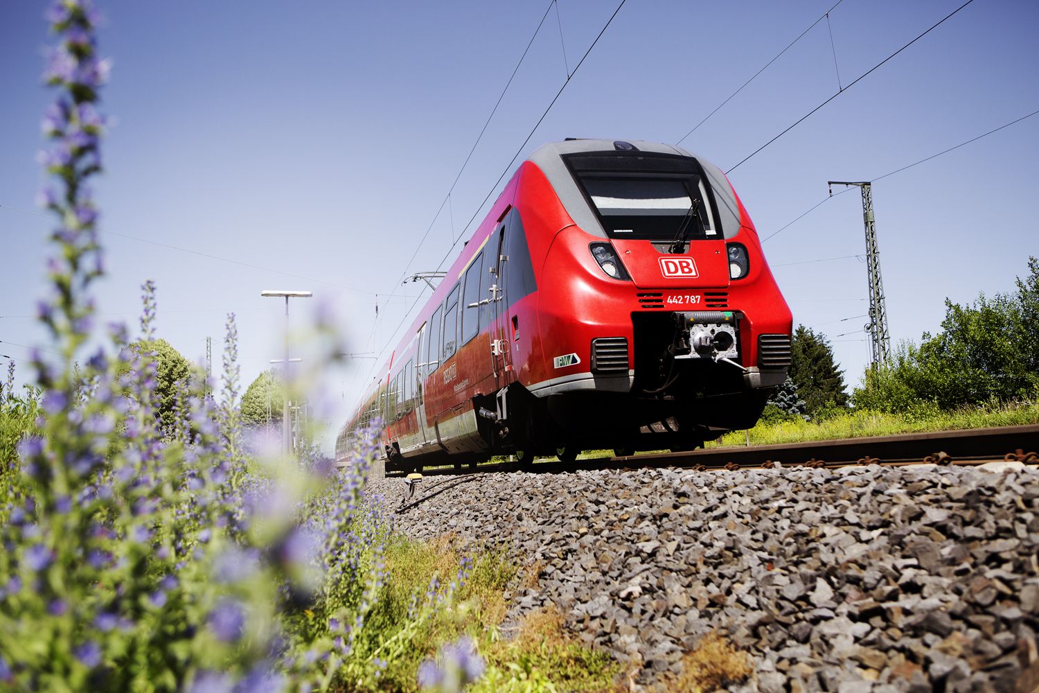
Into the countryside! — hike with Germany’s Rhine-Main Transport Network
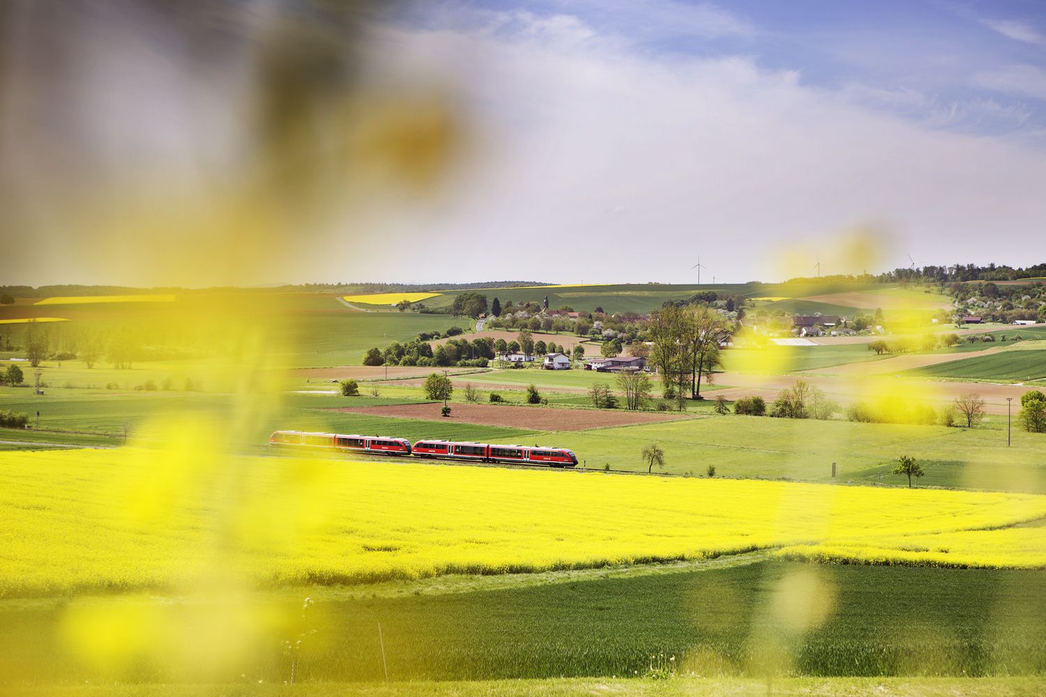
Valleys, meadows, forests — cycling bliss with Germany’s Rhine-Main Transport Network
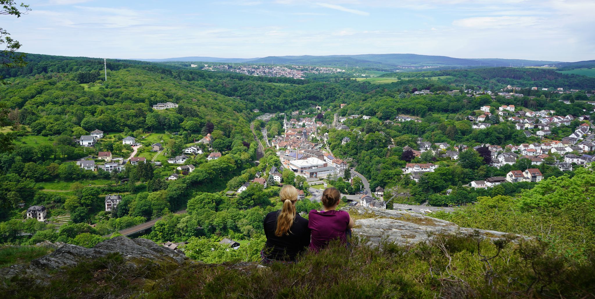
Exploring nature — hikes in Germany’s Taunus Mountains
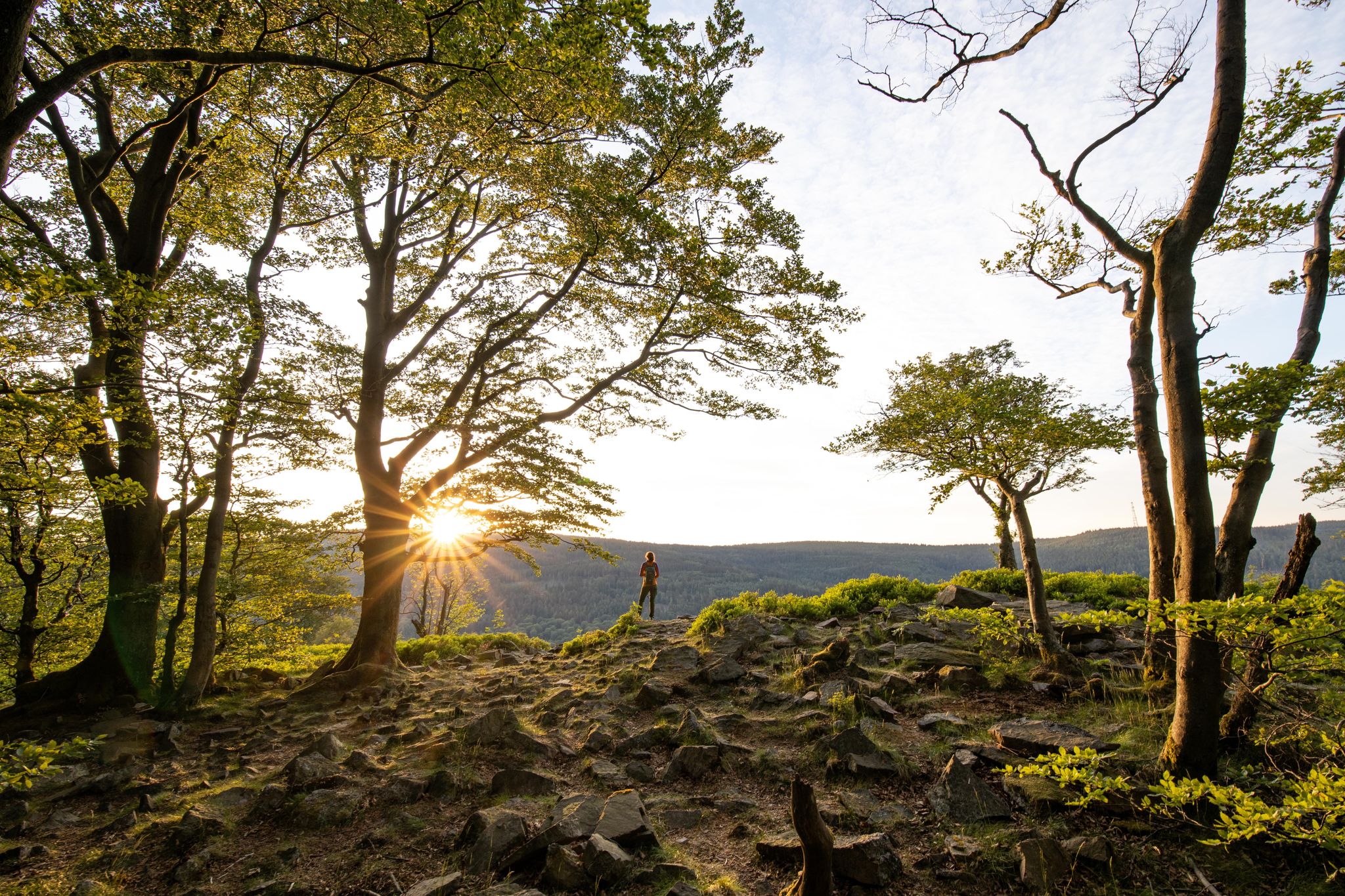
Deep valleys and airy heights – the most beautiful hikes in the Taunus in Germany
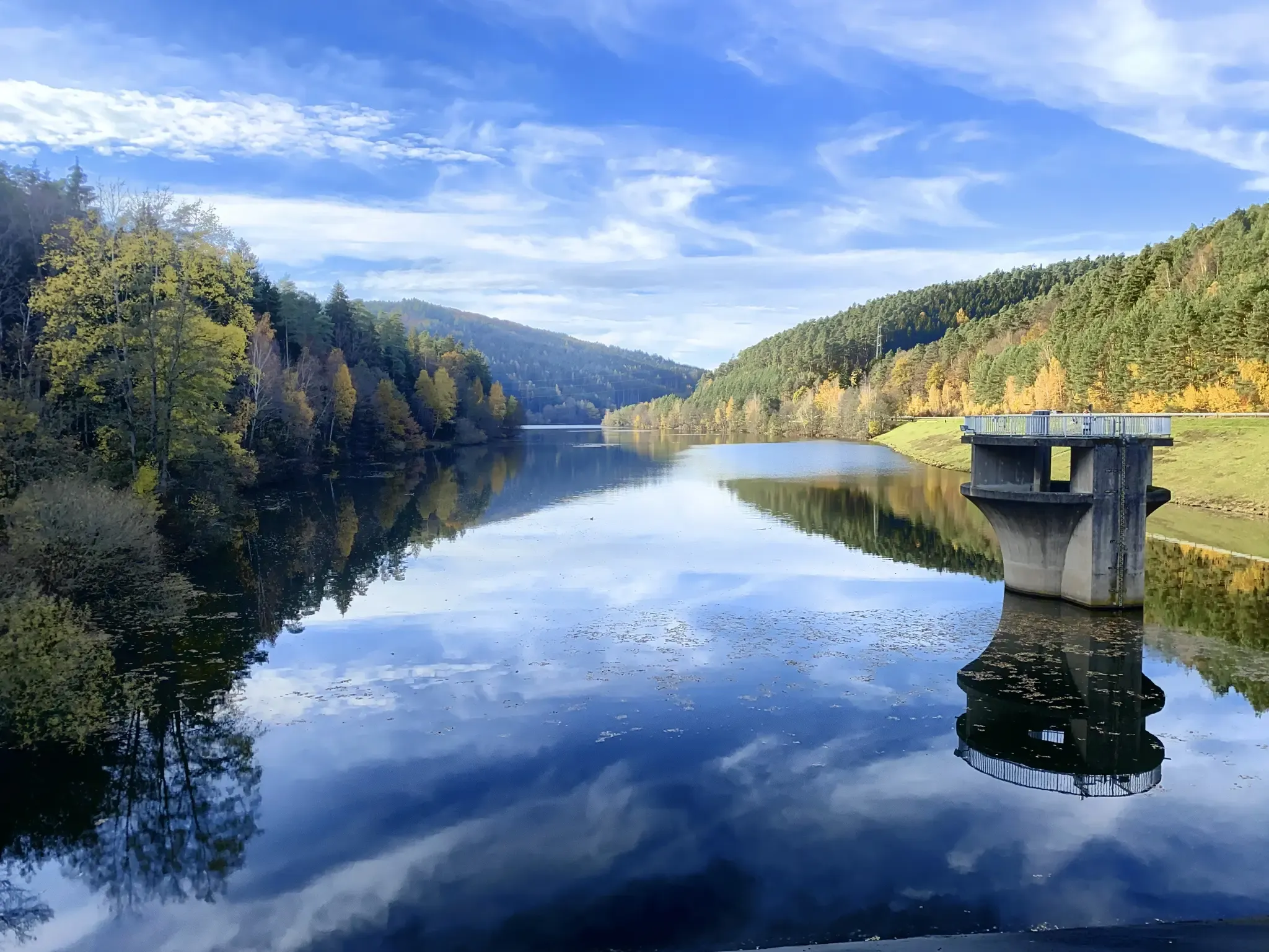
Mit Rosbacher auf Tour im Rhein-Main-Gebiet
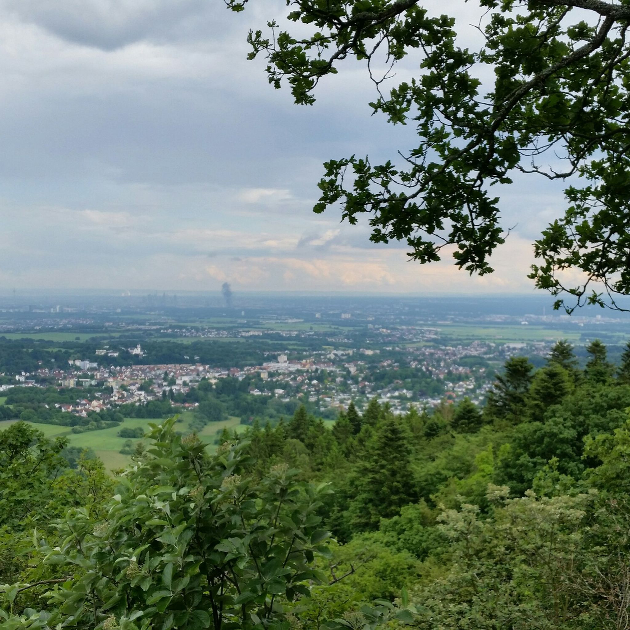
エップシュタインでのハイキング
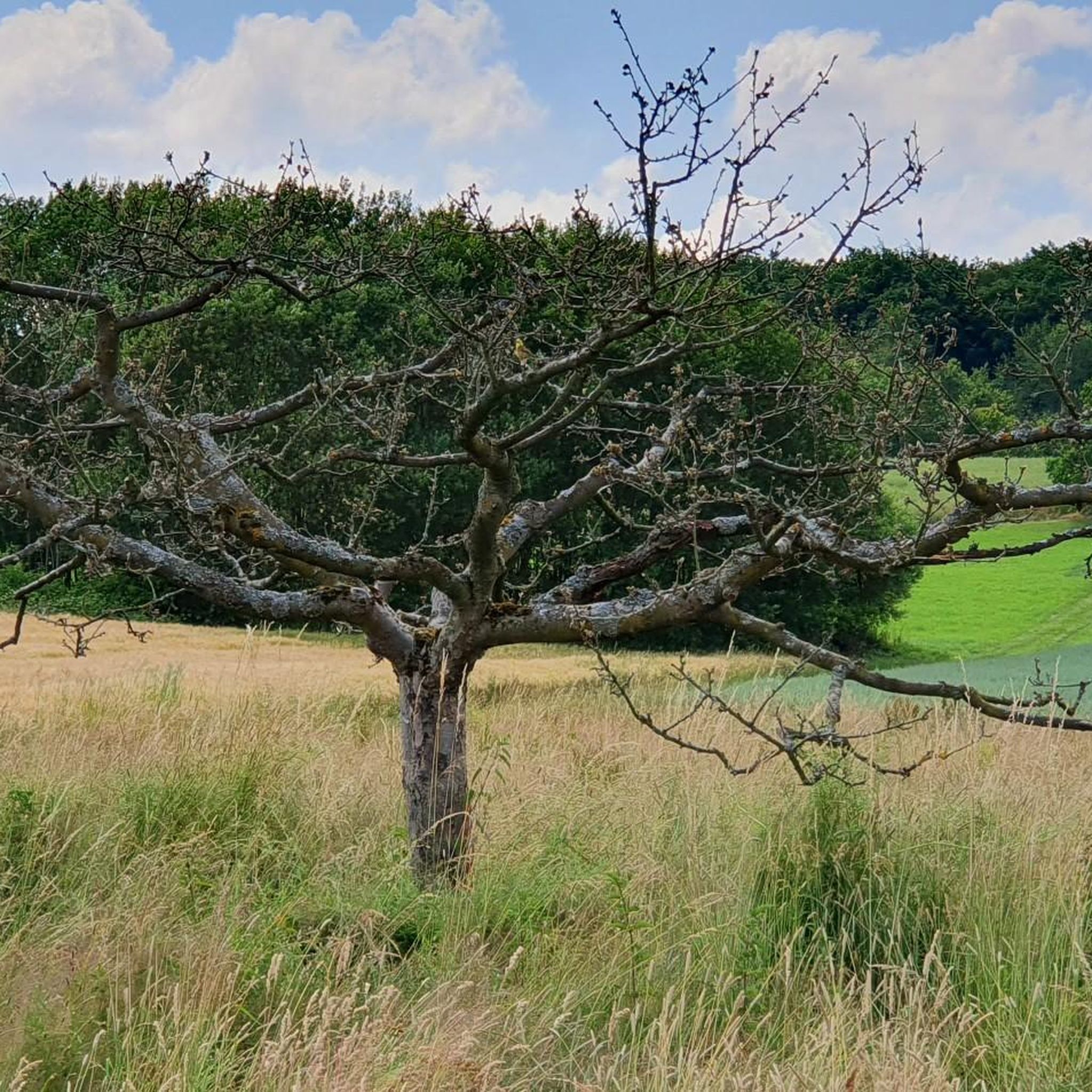
エップシュタインでのサイクリング
エップシュタインでのの他の冒険


コミュニティからのヒント


素敵なトレイルです!勾配のため、一部大きめの石や根っこがあり、登りは大変です。また、数カ所砂利で整備されたようで、まだかなり緩いです。私にとっては、道路を走るよりもずっと良いルートです。しかし、ロードバイクでは無理でしょう。
0
0

The tower at the ringfort stands at the top of a meadow slope northwest of Lorsbach. From there, one has a panoramic view over Lorsbach and the Lorsbach Valley. The tower takes its name from the Alteburg rampart located further up the hilltop. The wooden tower is 8.60 meters high. The viewing platform is at a height of 4.50 meters. The tower and the surrounding area are owned by the Lorsbach Local History Society. It was built according to plans by the late society member Emanuel Winkelmann. The tower was inaugurated on December 18, 2005. The tower at the ringfort is a popular destination for hikers and walkers. It is also easily accessible from Langenhain and Eppstein via hiking trails. The shortest route there leads from Lorsbach along the Alteburgweg trail.
5
0
From the Meisterturm tower, you have a magnificent panoramic view of the entire Rhine-Main region, the Taunus mountains, and the surrounding area. Truly beautiful! 🤩
13
2
This forest, dubbed the northernmost pine forest in Europe (though I'm not an expert, I'd guess it's *Pinus pinea*), was probably a mistake. In the 19th century, the Kapellenberg hill was reforested, and these pines were planted on its barren, rocky southern slope. The city's 1878 accounts mention 11,500 young *Pinus* saplings – without specifying them further. Did *Pinus pinea* sound much more like a pine tree to the buyer than *Pinus sylvestris*? In any case, the Mediterranean plants seem to thrive here, attracting many a surprised glance from passersby.
13
1
The Meisterturm is a 30.8-meter[1] (approximately 37 meters including the antenna) high observation tower in Hofheim am Taunus. It is located at 292 meters above sea level[2] on the wooded Kapellenberg hill northwest of the town. Today, it only rises a few meters above the surrounding trees. However, it offers a complete panoramic view: to the south over the Rhine-Main region, and on a clear day as far as the Odenwald forest; to the north, the Taunus mountain range, including the Großer Feldberg.
12
0
Here you'll find a wooden shelter and a small vineyard. Definitely a nice spot for a break.
18
0

komootモバイルアプリでインスピレーションを得よう


さらに探索
他の地域の最高のMTBトレイルを見てみましょう。
