バートベルレブルクのおすすめウォーキング&ハイキングルート
4.6
(5621)
18,502
ハイカー
752
ハイキング
バートベルレブルク 周辺でおすすめのハイキングやウォーキングを楽しんでいただけるように、このエリアの小径やルートを集めたkomootコレクション全体を見直しました。 以下で各ルートの詳細をご覧になり、バートベルレブルク周辺の大自然を満喫する際の参考にしてください。
最終更新日: 10月 5, 2026
4.8
(568)
1,821
ハイカー
13.3km
03:46
260m
270m
中程度のハイキング. ある程度のフィットネスレベルが必要です。 全般的に進みやすいルートです。安定して歩行できる技術が必要です。
4.7
(105)
372
ハイカー
20.2km
05:58
590m
590m
難しいハイキング. 標準以上のフィットネスレベルが必要です。 全般的に進みやすいルートです。安定して歩行できる技術が必要です。

4.8
(525)
1,502
ハイカー
14.9km
04:24
370m
370m
中程度のハイキング. ある程度のフィットネスレベルが必要です。 全般的に進みやすいルートです。安定して歩行できる技術が必要です。
4.6
(40)
125
ハイカー
11.2km
03:12
270m
270m
中程度のハイキング. ある程度のフィットネスレベルが必要です。 進みやすいルートです。あらゆるスキルレベルに適しています。
4.3
(15)
25
ハイカー
11.9km
03:28
330m
330m
中程度のハイキング. ある程度のフィットネスレベルが必要です。 進みやすいルートです。あらゆるスキルレベルに適しています。
さらに多くのルートや他のユーザーのおすすめ情報を確認できます。
すでにアカウントをお持ちですか?
おすすめのツアーは他のkomootユーザーが実際に経験した何千ものアクティビティに基づいています。
無料アカウントで今日から始めよう
次の冒険が待っています。
バートベルレブルク周辺で人気
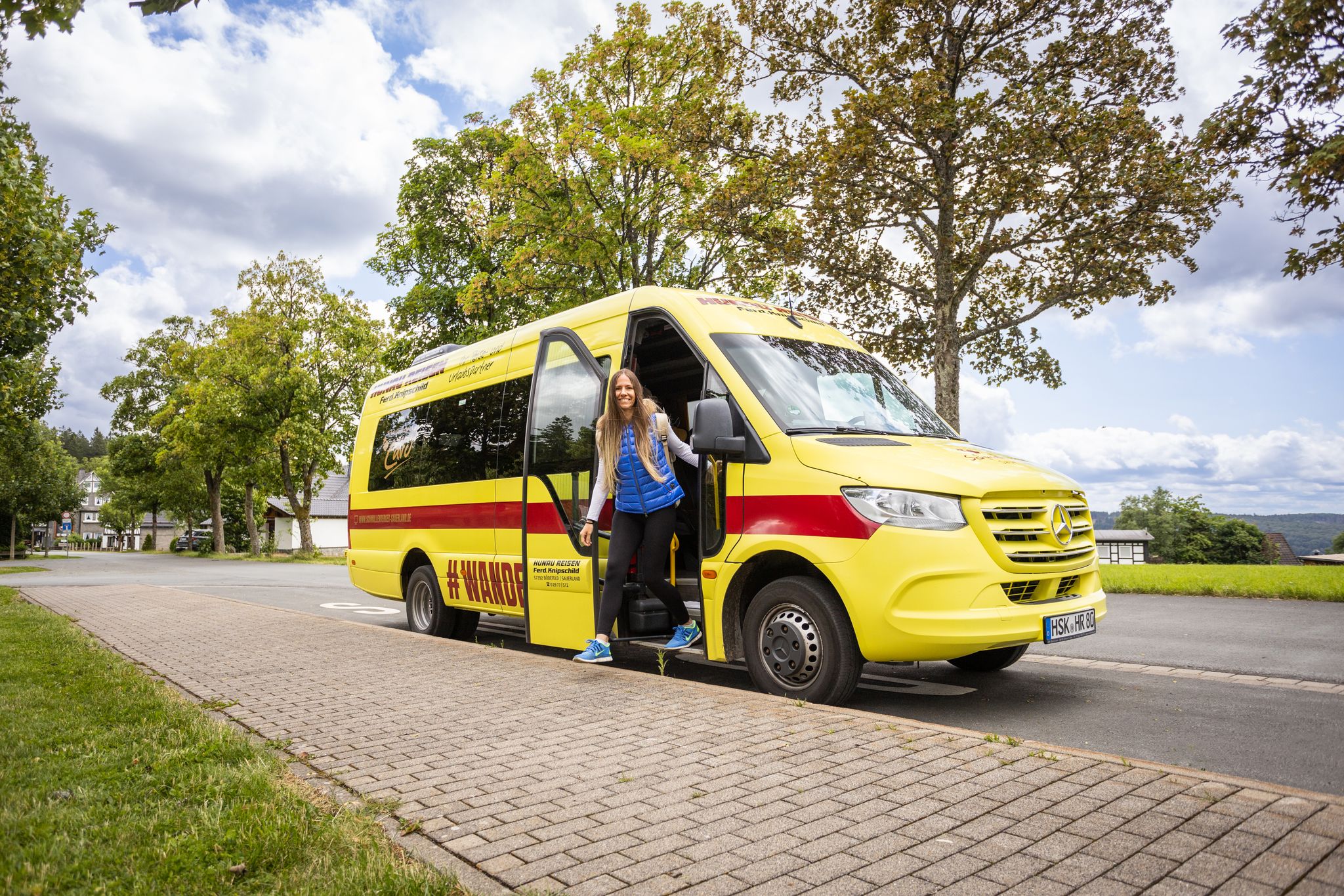
Car-free hikes – the Schmallenberger Sauerland by public transport
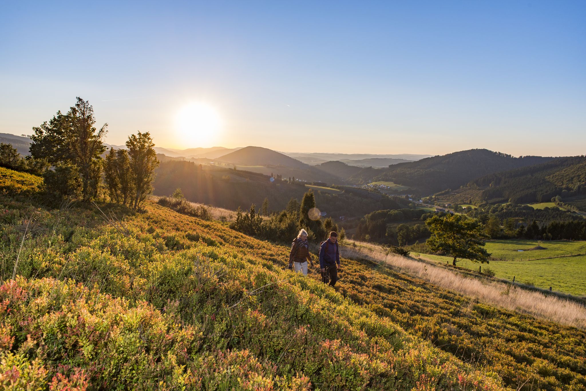
Dreamlike hiking in Germany – #EmbraceGermanNature
Exploring Schmallenberg Sauerland — stunning hikes in Germany
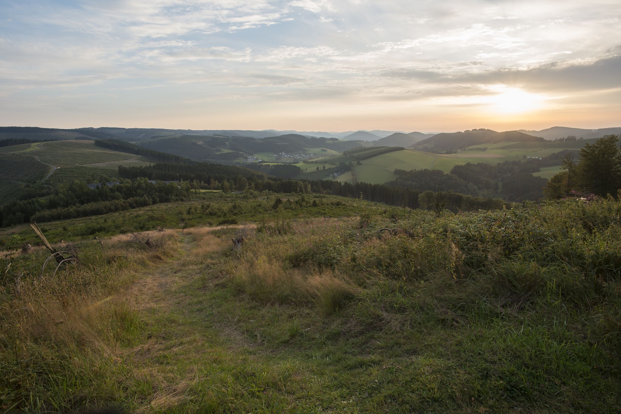
Forest, meadows, wonderland – hiking the Rothaarsteig Trails
バートベルレブルクでのサイクリング
バートベルレブルクのロードバイクルート
バートベルレブルクのMTBトレイル
バートベルレブルクのランニングコース
バートベルレブルクでののグラベルライド
バートベルレブルクでの登山&山歩き
バートベルレブルクでのの他の冒険


コミュニティからのヒント


Beautiful nature trail on the slope
0
0

Just follow the bat… the signs show the complete 13.5 km circular route of the Wittgenstein Slate Trail!
1
0

Great view of Arfeld. Through the Augenstein you can literally "take a look" at the oldest church in the Wittgenstein area. There are also information boards here about the history of the parish and the Augenstein itself. After the view comes insight! 😁👍
1
0

Around 800, Raumland was first mentioned as Rumilingen in a deed of gift from Counts Reginghart and Meginhart to the Fulda monastery. The first documented mention can be found in the Codex Eberhardi from the 12th century. The church of Raumland was the original parish of the upper Eder valley, which belongs to the county of Wittgenstein. In the 13th century, a local knightly family can be proven (Ludwig von Raumland, Hermann von Raumland). In 1624 there were 10 houses in Raumland, in 1819 there were 25 houses. On January 1, 1975, Raumland was incorporated into Bad Berleburg by the Sauerland/Paderborn law. Source: https://de.wikipedia.org/wiki/Raumland
2
0

Raumland is a fairly small village with a lot of history. Great view and great place. A walk through the village is also worthwhile.
4
0


komootモバイルアプリでインスピレーションを得よう


さらに探索
他の地域の最高のハイキングを見てみましょう。
