バートベルレブルクのおすすめ登山&山歩きルート
4.5
(4)
23
ハイカー
8
ハイキング
ジーゲン・ウィトゲンシュタインの山々をもっと探索しませんか?このガイドでご紹介するのは、komootがバートベルレブルクでの登山&山歩きのコレクション全体を評価して選び抜いた、このエリアの人気ルートです。あなたに合ったルートを見つけるには、他のユーザーがアップロードした役立つ情報や写真を閲覧し、クリック操作で簡単に表示できる詳細なデータを参考にしましょう。バートベルレブルクでの次の冒険にぴったりの登山&山歩きルートが見つかるはずです。
最終更新日: 11月 1, 2026
4.5
(2)
5
ハイカー
6.24km
01:43
110m
110m
初級者向け登山ルート. 歩きやすい道です。
5.0
(1)
5
ハイカー
9.40km
02:37
170m
170m
中程度の登山ルート. ある程度のフィットネスレベルが必要です。 ほとんどが歩ける道です。足元への注意が必要です。

3
ハイカー
6.51km
01:56
190m
190m
初級者向け登山ルート. 歩きやすい道です。
4
ハイカー
8.65km
02:36
280m
280m
中程度の登山ルート. ある程度のフィットネスレベルが必要です。 歩きやすい道です。
1
ハイカー
10.6km
03:18
390m
390m
中程度の登山ルート. ある程度のフィットネスレベルが必要です。 歩きやすい道です。
さらに多くのルートや他のユーザーのおすすめ情報を確認できます。
すでにアカウントをお持ちですか?
おすすめのツアーは他のkomootユーザーが実際に経験した何千ものアクティビティに基づいています。
無料アカウントで今日から始めよう
次の冒険が待っています。
バートベルレブルク周辺で人気
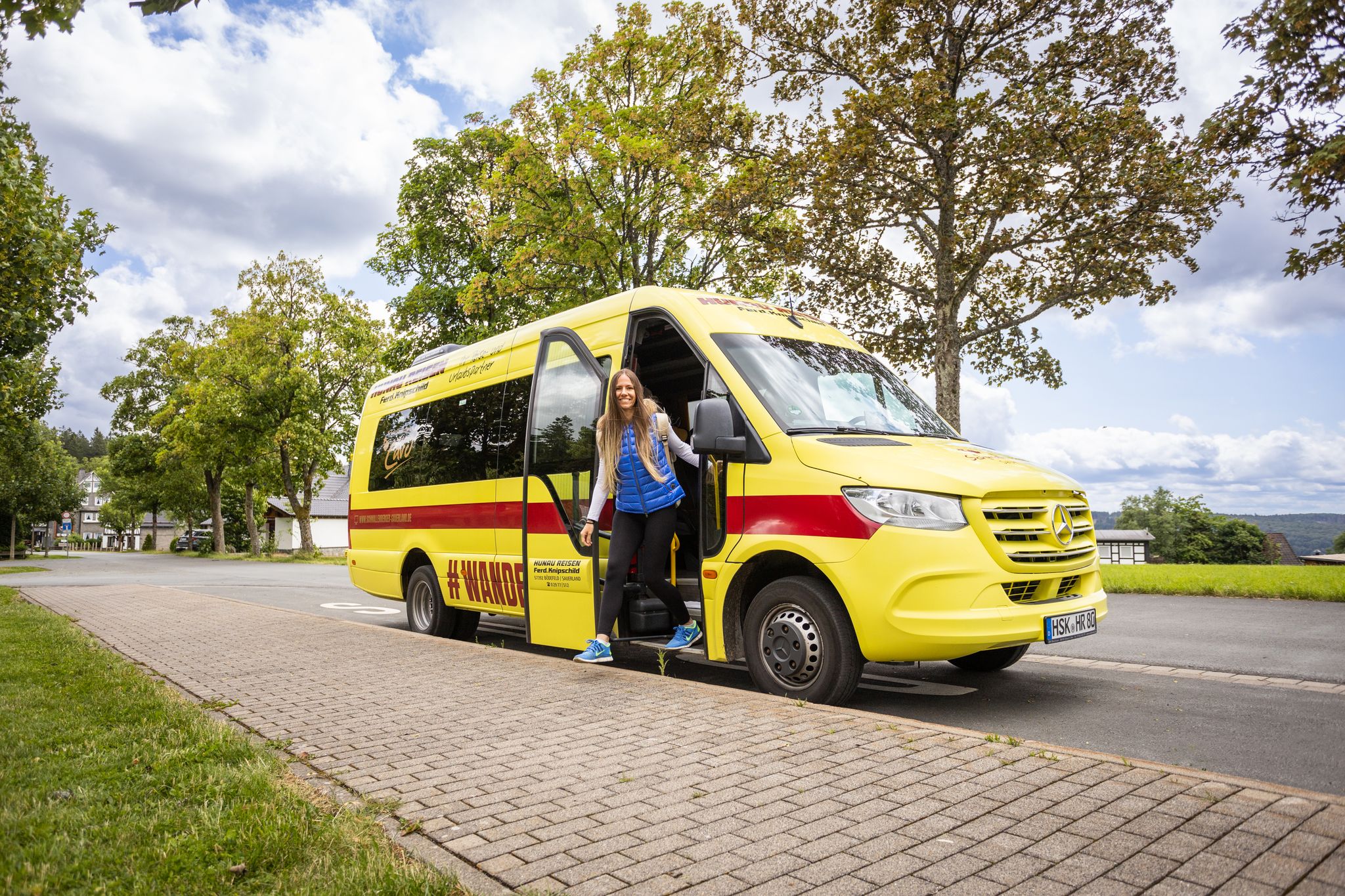
Car-free hikes – the Schmallenberger Sauerland by public transport
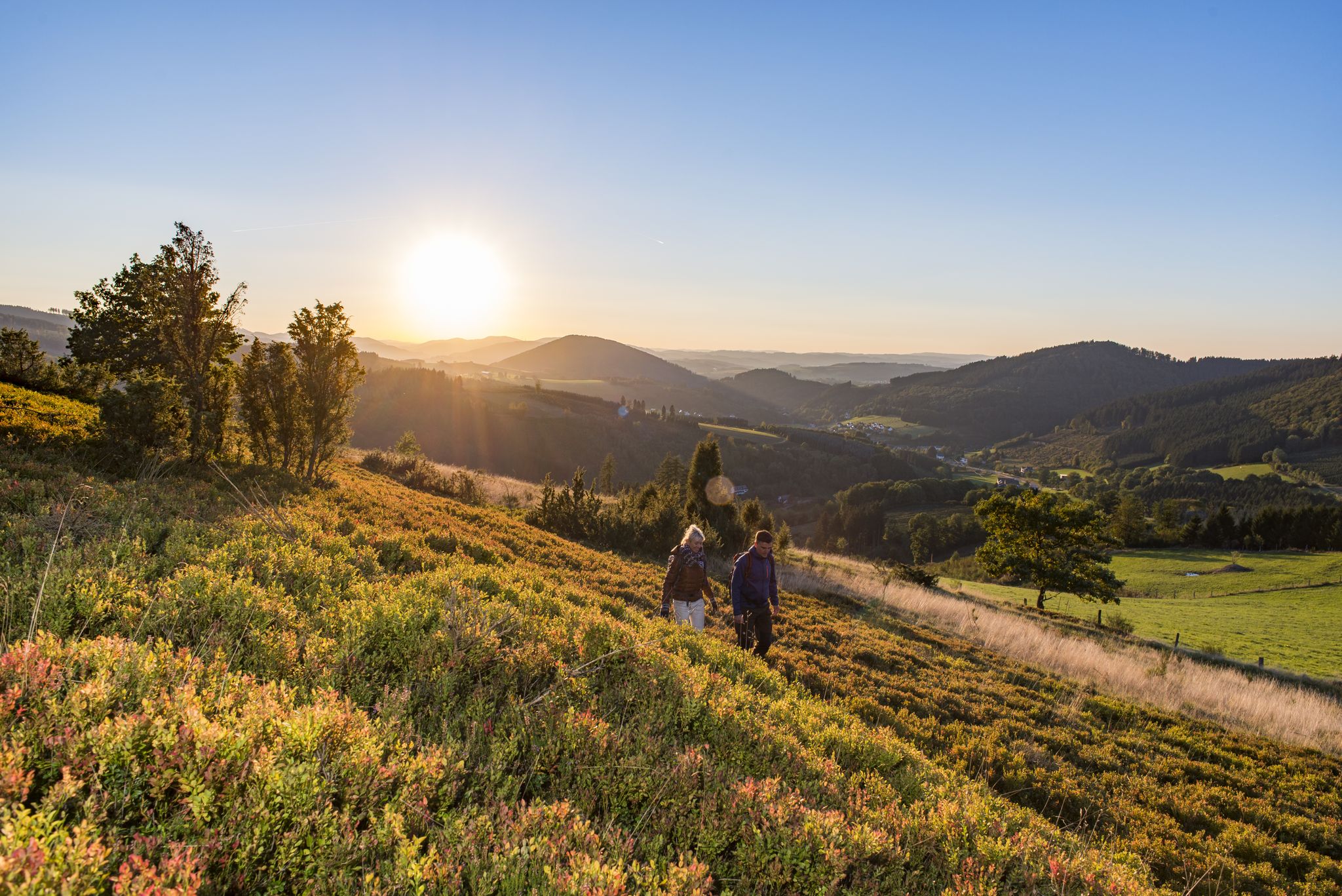
Dreamlike hiking in Germany – #EmbraceGermanNature
Exploring Schmallenberg Sauerland — stunning hikes in Germany
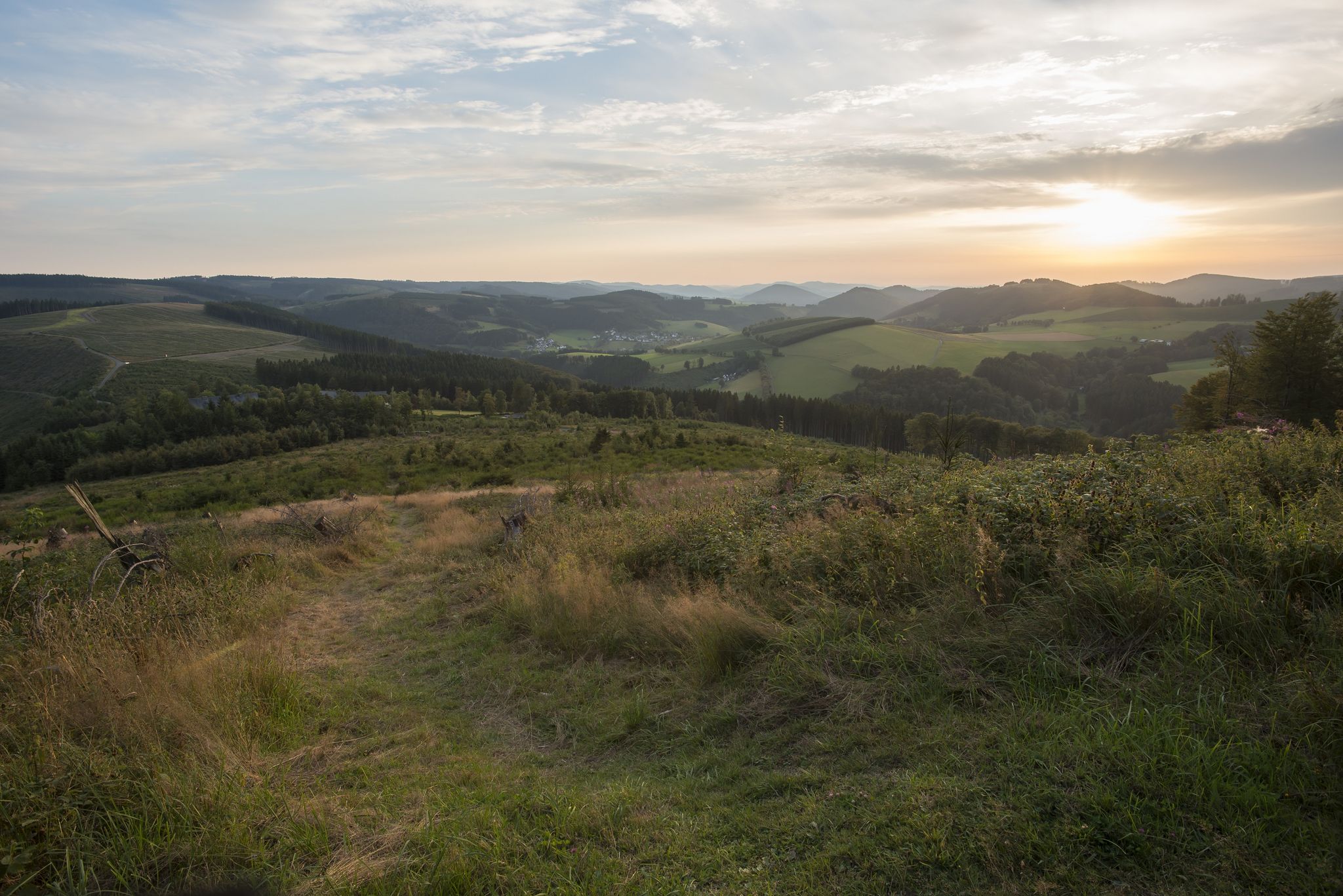
Forest, meadows, wonderland – hiking the Rothaarsteig Trails
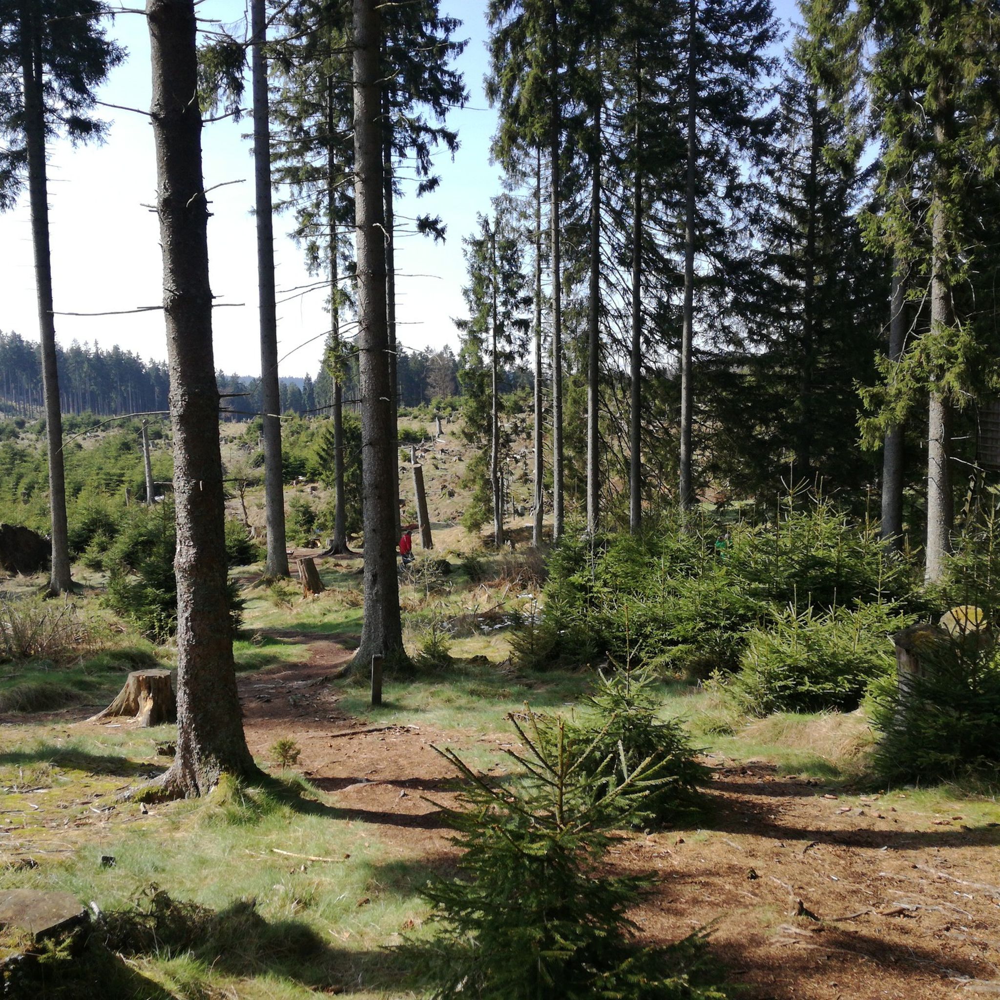
バートベルレブルクでのハイキング
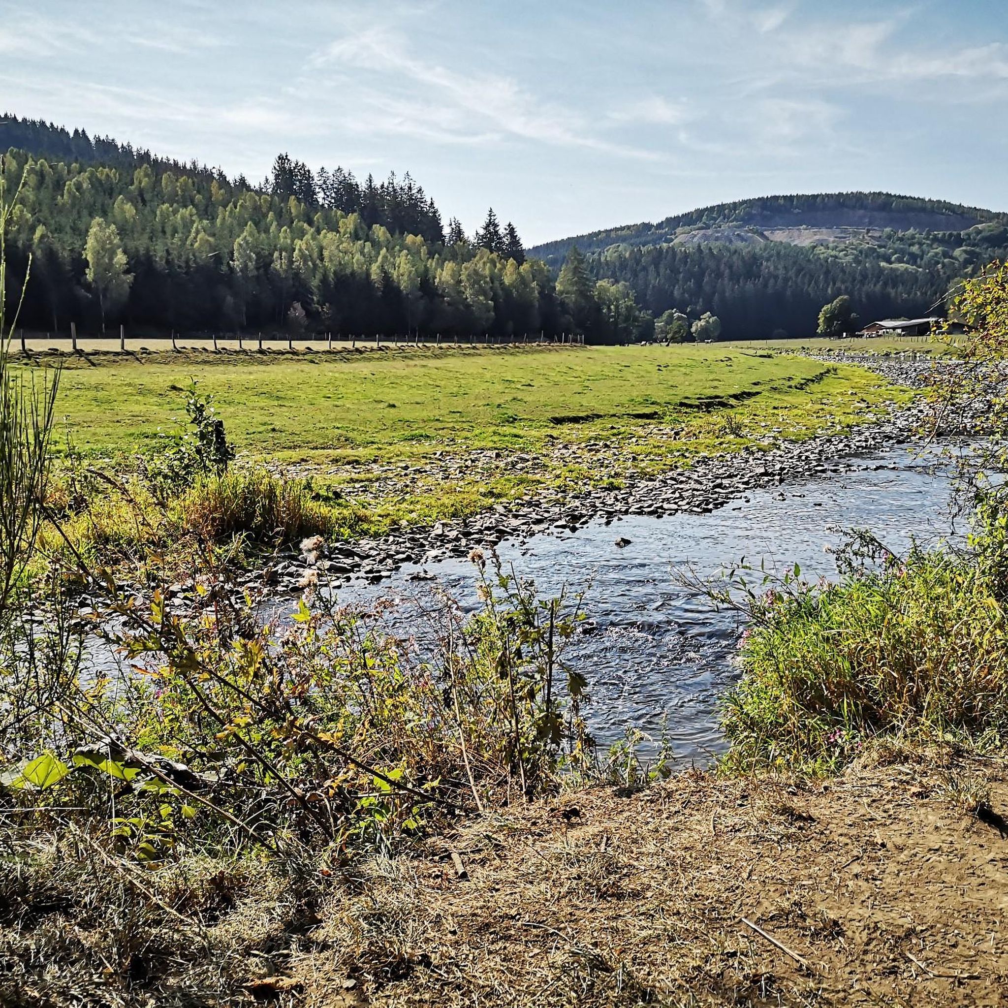
バートベルレブルクでのサイクリング
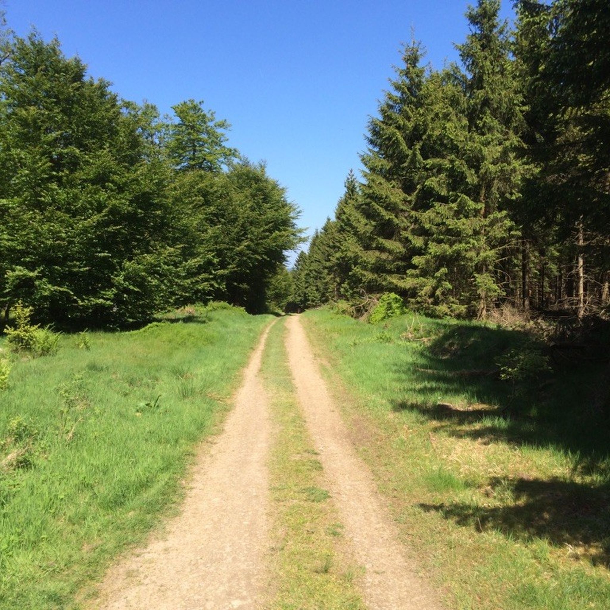
バートベルレブルクのMTBトレイル
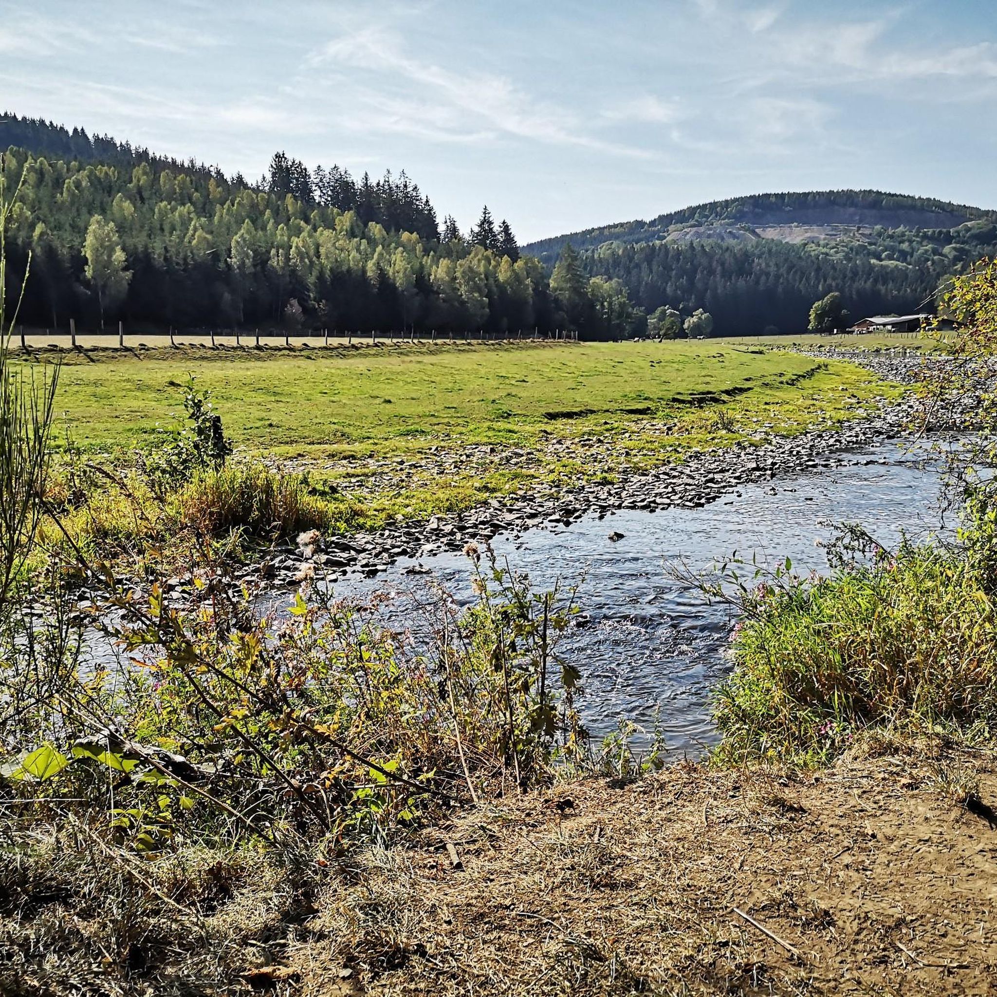
バートベルレブルクのロードバイクルート
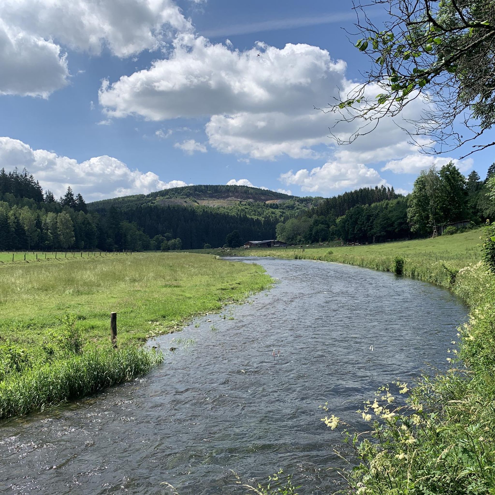
バートベルレブルクのランニングコース
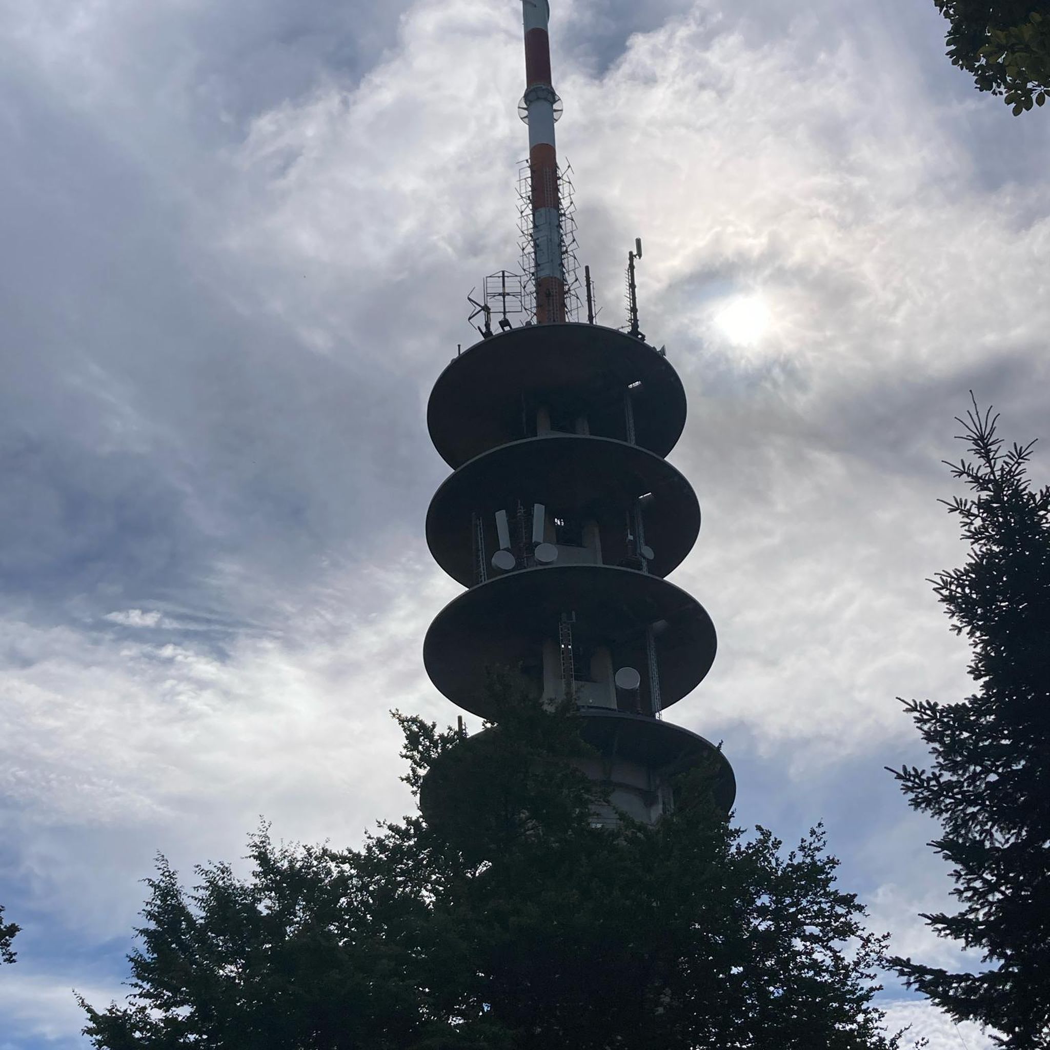
バートベルレブルクでののグラベルライド
バートベルレブルクでのの他の冒険


コミュニティからのヒント


素晴らしい芸術作品です...ここで立ち止まり、境界、分離、接続というテーマについて考える価値があります!森の中に「突然現れる」とは、驚くべき効果です!
0
0

現在、猪の囲いの中に捕らえられていますが、アクセス可能です。彫刻の道にある芸術作品です。すぐ近くには小さな休憩所もあります。
0
0

Top address on the Kahler Asten for weather records.
0
0
Beautiful wooden signpost.
0
0

The trail is very steep and rooty. It ends at the Nordhang Jause.
0
0

Just behind the mountain station on the Sürenberg, the summit cross rises into the sky. It's worth stopping for a moment, especially when the west wind sprinkles the fresh snow around the wood like powdered sugar.
0
0

There is a small, rustic hut with lots of great seating in the Sauerland atmosphere. Food and drinks are also available here! It's just great here!
2
0

komootモバイルアプリでインスピレーションを得よう


さらに探索
他の地域の最高の登山ハイキング & ルートを見てみましょう。
