バートベルレブルク周辺のアトラクション&必見スポット - トップ20
バートベルレブルクには必見のスポットがたくさんあります。ハイキング愛好家やサイクリング愛好家の方は、ぜひバートベルレブルクを探索してこのエリアにある20
の隠れたスポットを訪れてみてください。このエリアの必見スポットを確認し、次の冒険に出かける計画を立てましょう。
最終更新日: 10月 23, 2026
カーレル・アステン
ハイライト • 山頂
翻訳を表示中
役立つ情報 は

ヘレ渓谷と橋のトレイル
ハイライト • 峡谷
翻訳者 Google •
役立つ情報 は

今すぐサインアップして、こんな場所を発見しよう
最高のシングルトラック、ピーク、その他のエキサイティングなアウトドアスポットのおすすめを受け取ろう。
ロートハールシュタイクの吊り橋
ハイライト (セグメント) • 橋
翻訳者 Google •
役立つ情報 は

ヘルレタール橋
ハイライト • 橋
翻訳者 Google •
役立つ情報 は

滝と小川沿いのベンチ(ブリュッケン・ウント・シュルヒテンパート)
ハイライト • 滝
翻訳者 Google •
役立つ情報 は

無料でサインアップして、さらに多くの観光スポットを発見しましょう バートベルレブルクでの。
すでにアカウントをお持ちですか?
無料アカウントで今日から始めよう
次の冒険が待っています。
バートベルレブルク周辺で人気
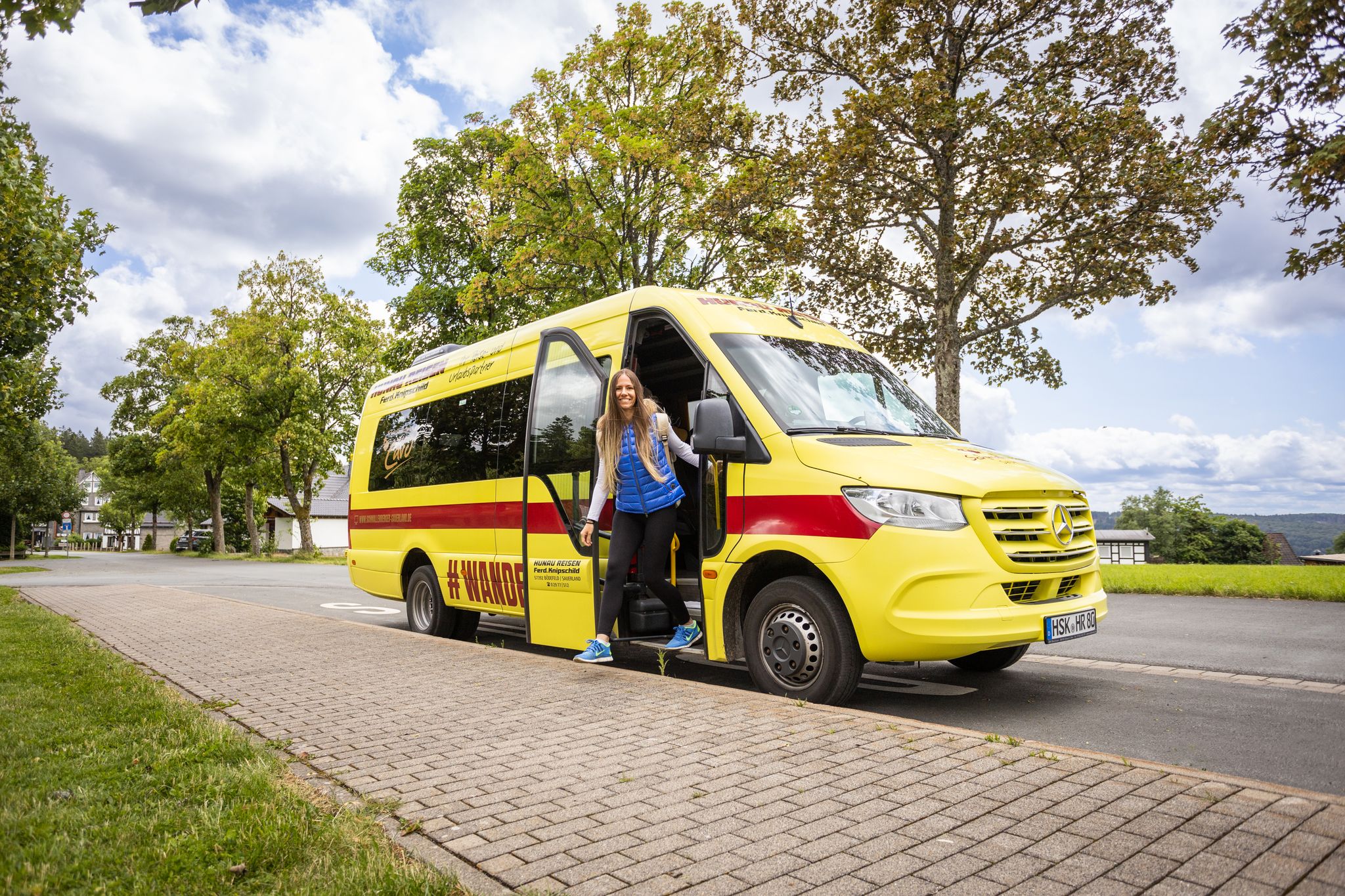
Car-free hikes – the Schmallenberger Sauerland by public transport
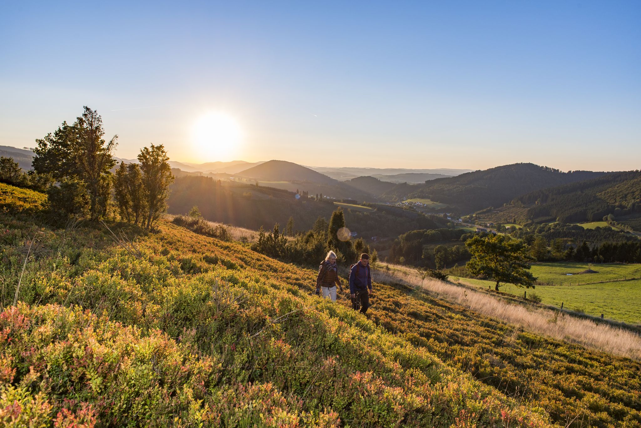
Dreamlike hiking in Germany – #EmbraceGermanNature
Exploring Schmallenberg Sauerland — stunning hikes in Germany
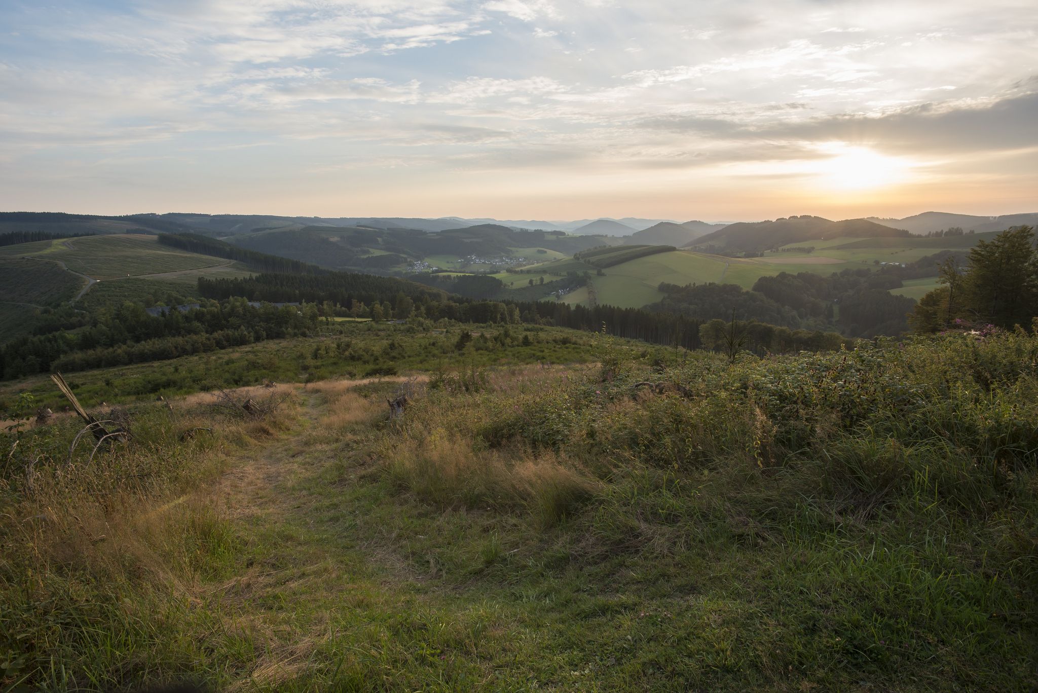
Forest, meadows, wonderland – hiking the Rothaarsteig Trails
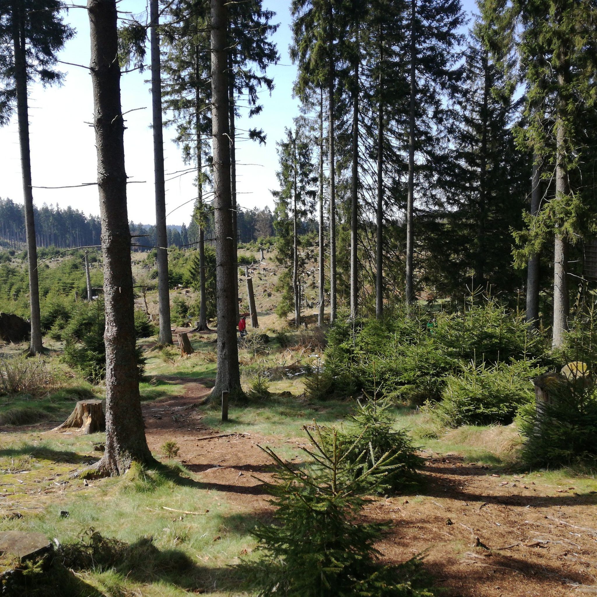
バートベルレブルクでのハイキング
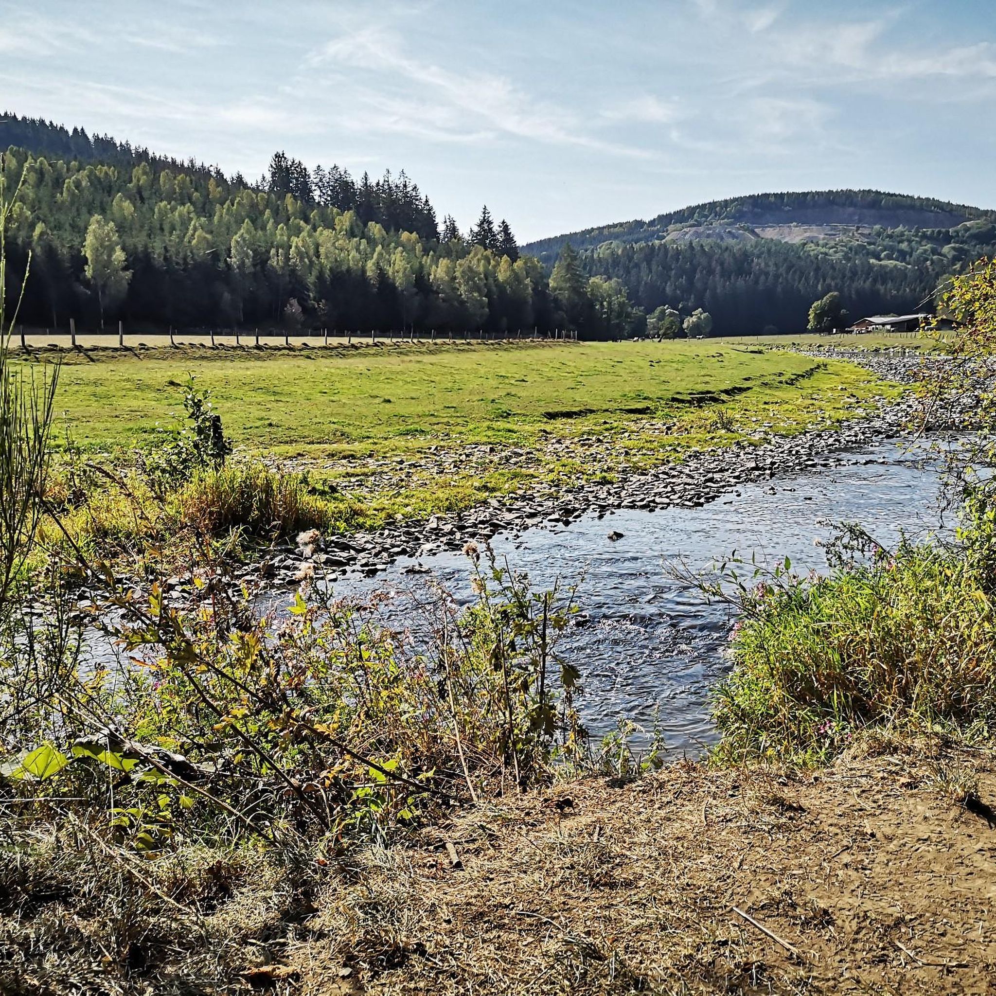
バートベルレブルクでのサイクリング
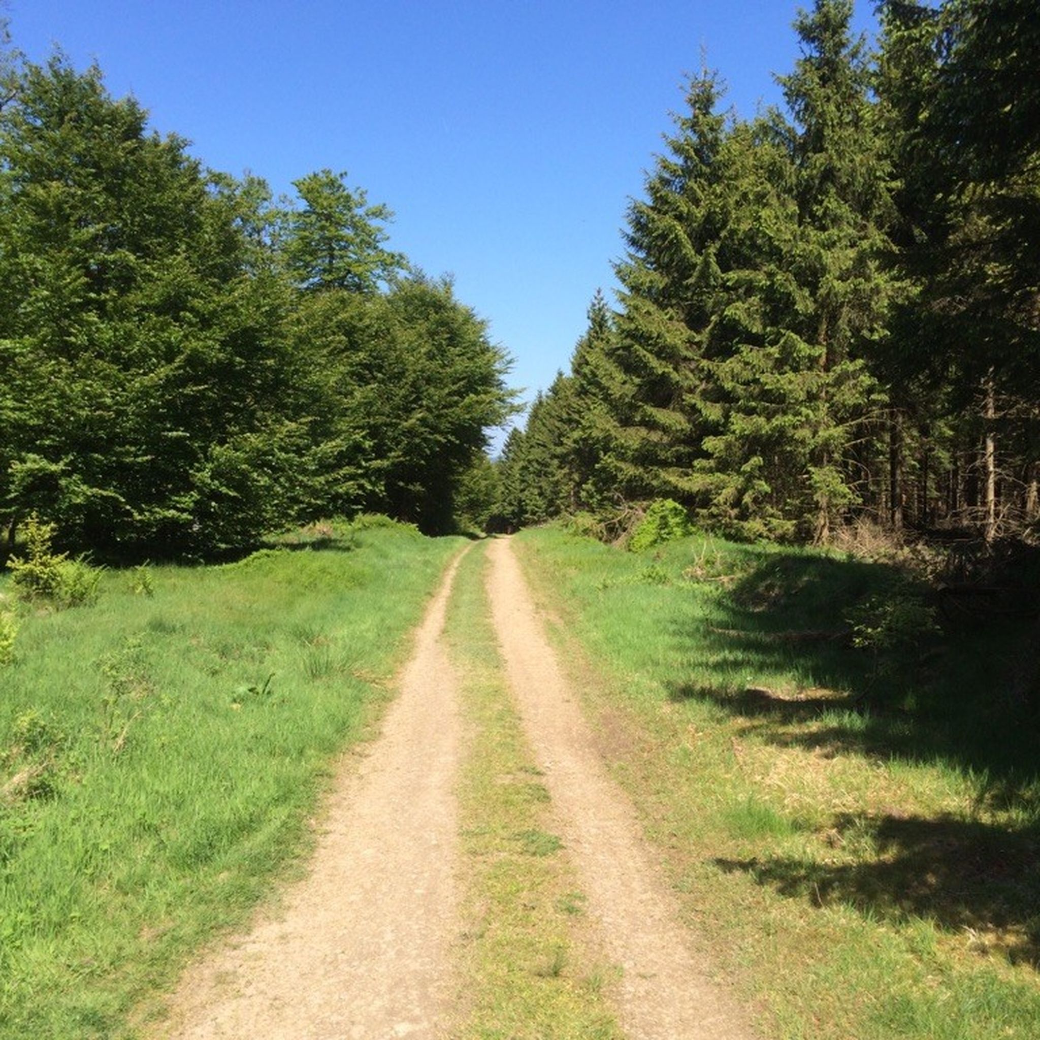
バートベルレブルクのMTBトレイル
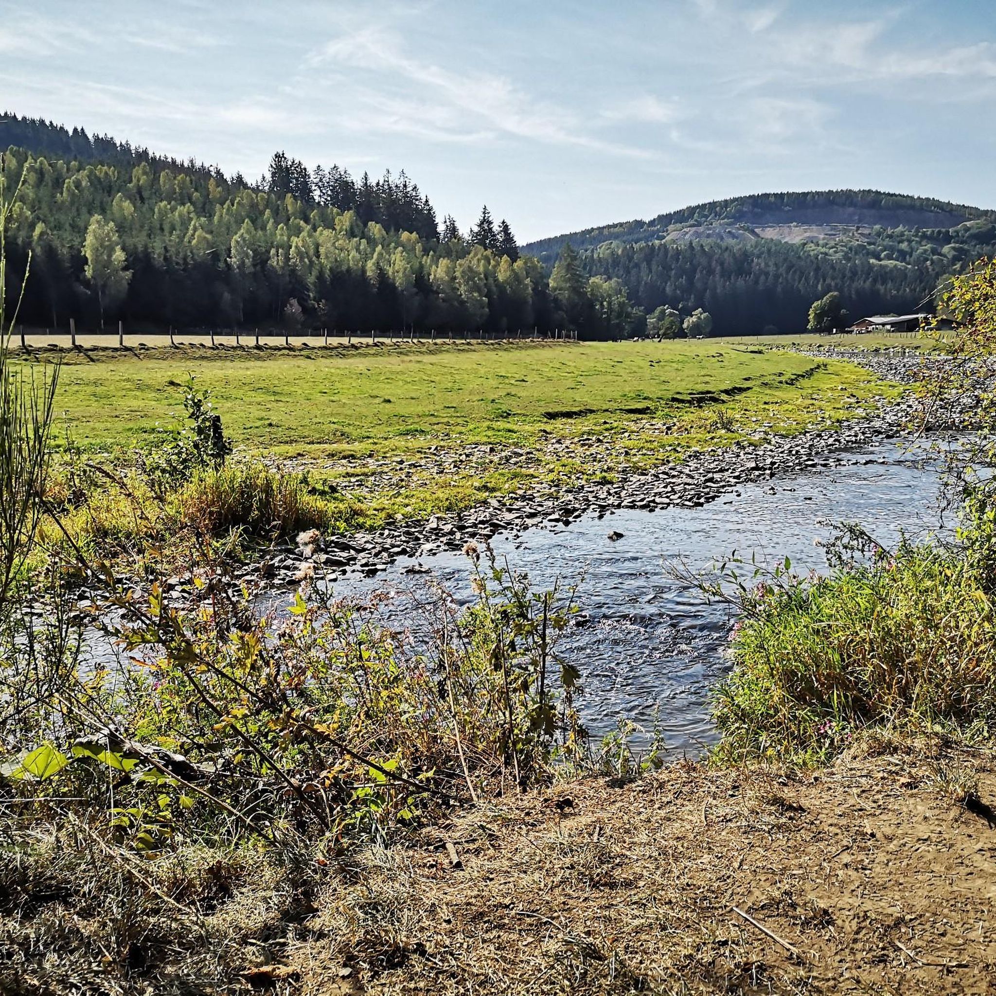
バートベルレブルクのロードバイクルート
バートベルレブルクのランニングコース
バートベルレブルクでののグラベルライド
バートベルレブルクでのの他の冒険


コミュニティからのヒント

The gorge and bridge path in Winterberg leads for around 4.2 kilometers through the low mountain gorge of the "Helle". The circular path begins in the heart of Winterberg, right next to the spa park, and it is hard to believe that such a special natural jewel can be found so close to the city. The hike is entertaining, but leads downhill quite steeply in places, so sturdy shoes are advisable. In addition, the leafy paths can be very slippery, especially in autumn.
5
1
The gorge and bridge path begins and ends in the Winterberg spa park at an altitude of around 670m. The lowest point is Lake Constance at about 540m. The circular hiking trail is a little more than 4 km in total, with a difference in altitude of around 500 meters due to various counter ascents and descents.
14
1

Great gorge and that in Winterberg. With breaks we were on the road for a good 4 hours.
7
0

When descending to the Helletal Bridge, you should watch your steps. When it's wet here, it can quickly become slippery.
11
1

Nice spot for a break.
6
0

Unfortunately there wasn't much water in the stream. But still highly recommended
6
0
A beautiful hiking trail. I would recommend sturdy shoes. Here in this place there are beautiful stone towers.
9
0

komootモバイルアプリでインスピレーションを得よう


さらに探索
まだ探しているハイライトが見つかりませんか?他の地域のトップアトラクションのガイドを見てみましょう:
