ホフの絶景の山頂・トップ18
絶景を目指して登るのであれ、達成感のために登るのであれ、山頂を訪れることで、ホフの美しい自然をもっと満喫することができます。18
もの選択肢の中から、制覇する山頂を決めるのは簡単ではありません。スムーズに次の冒険で目指す山頂を選べるように、ホフの素晴らしい山頂をこのガイドにまとめました。
最終更新日: 10月 23, 2026
🏔️ グローサー・ヴァルトシュタイン
ハイライト • 展望台
翻訳者 Google •
役立つ情報 は

ドーブラーベルクのプリンツ・ルイトポルト塔
ハイライト • 展望台
翻訳者 Google •
役立つ情報 は

今すぐサインアップして、こんな場所を発見しよう
最高のシングルトラック、ピーク、その他のエキサイティングなアウトドアスポットのおすすめを受け取ろう。
グローサー・コルンベルクのシェーンブルク展望塔
ハイライト • 展望台
翻訳者 Google •
役立つ情報 は

ホーアー・シュタイン
ハイライト • 自然記念物
翻訳者 Google •
役立つ情報 は

フランケンヴァルテ展望塔
ハイライト • 記念碑
翻訳者 Google •
役立つ情報 は
Döbraberg
ハイライト • 山頂
翻訳者 Google •
役立つ情報 は

🏛️ ヴァイセンシュタイン塔
ハイライト • 展望台
翻訳者 Google •
役立つ情報 は

トレッキングサイト・デーブラベルク
ハイライト • 休憩所
翻訳者 Google •
役立つ情報 は
ハイドベルク山頂
ハイライト • 山頂
翻訳者 Google •
役立つ情報 は
ハウクノック山頂の十字架
ハイライト • 山頂
翻訳者 Google •
役立つ情報 は

無料でサインアップして、さらに多くの山を発見しましょう ホフでの。
すでにアカウントをお持ちですか?
無料アカウントで今日から始めよう
次の冒険が待っています。
ホフ周辺で人気
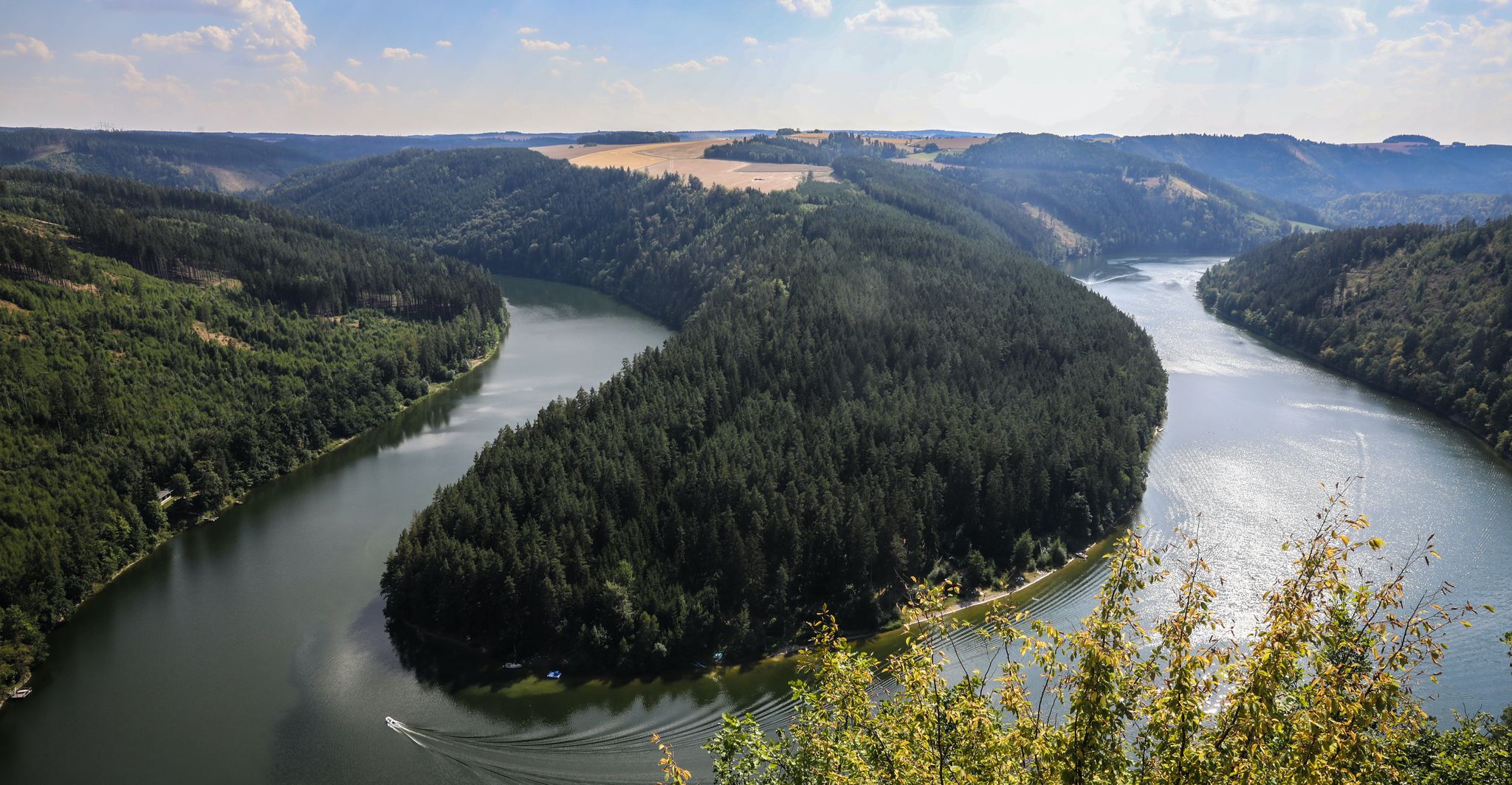
サーレサイクルパス パート1 – テューリンゲンの森を通る4つのスポーティなステージ
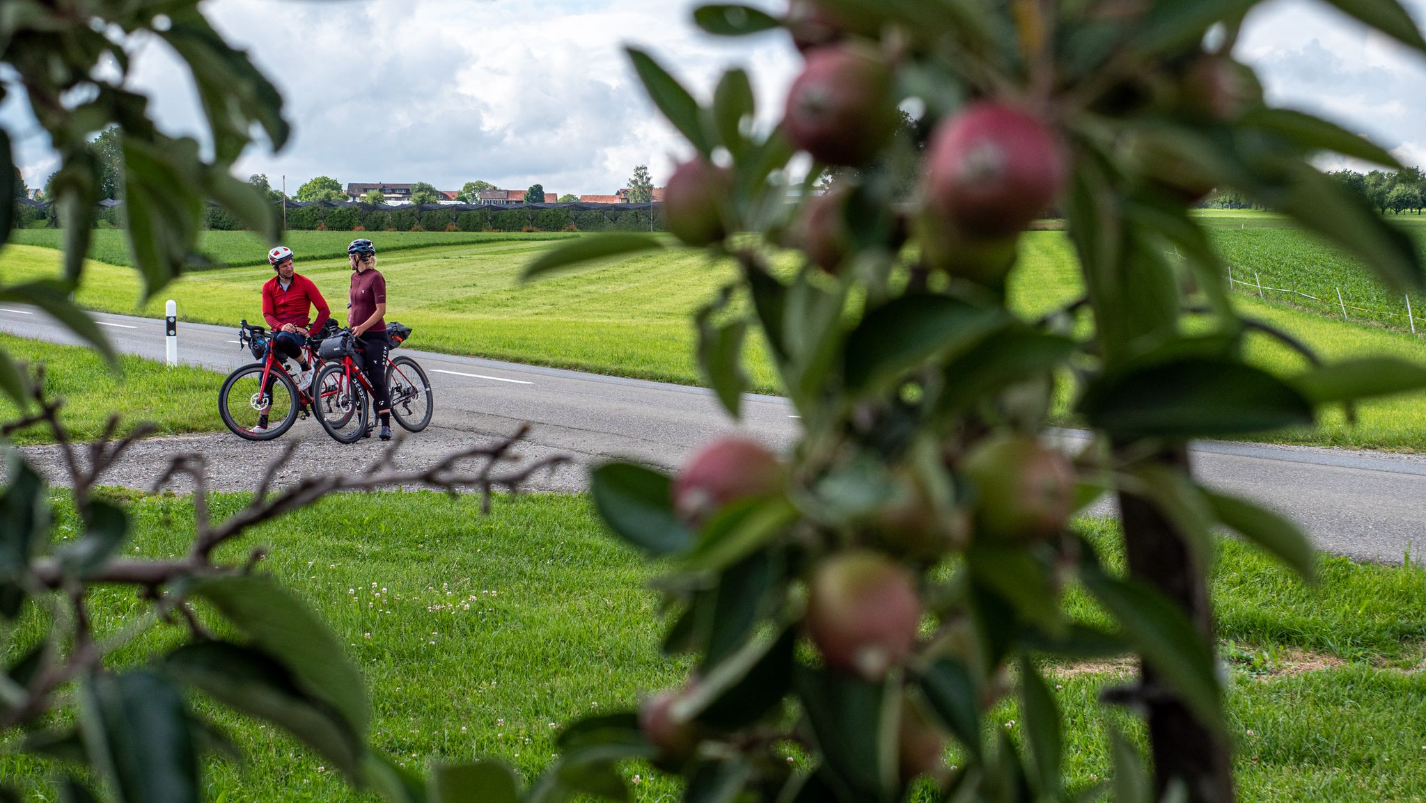
ハイライト!デュツランドを自転車で、マウンテンバイクのプロ2人と一緒に
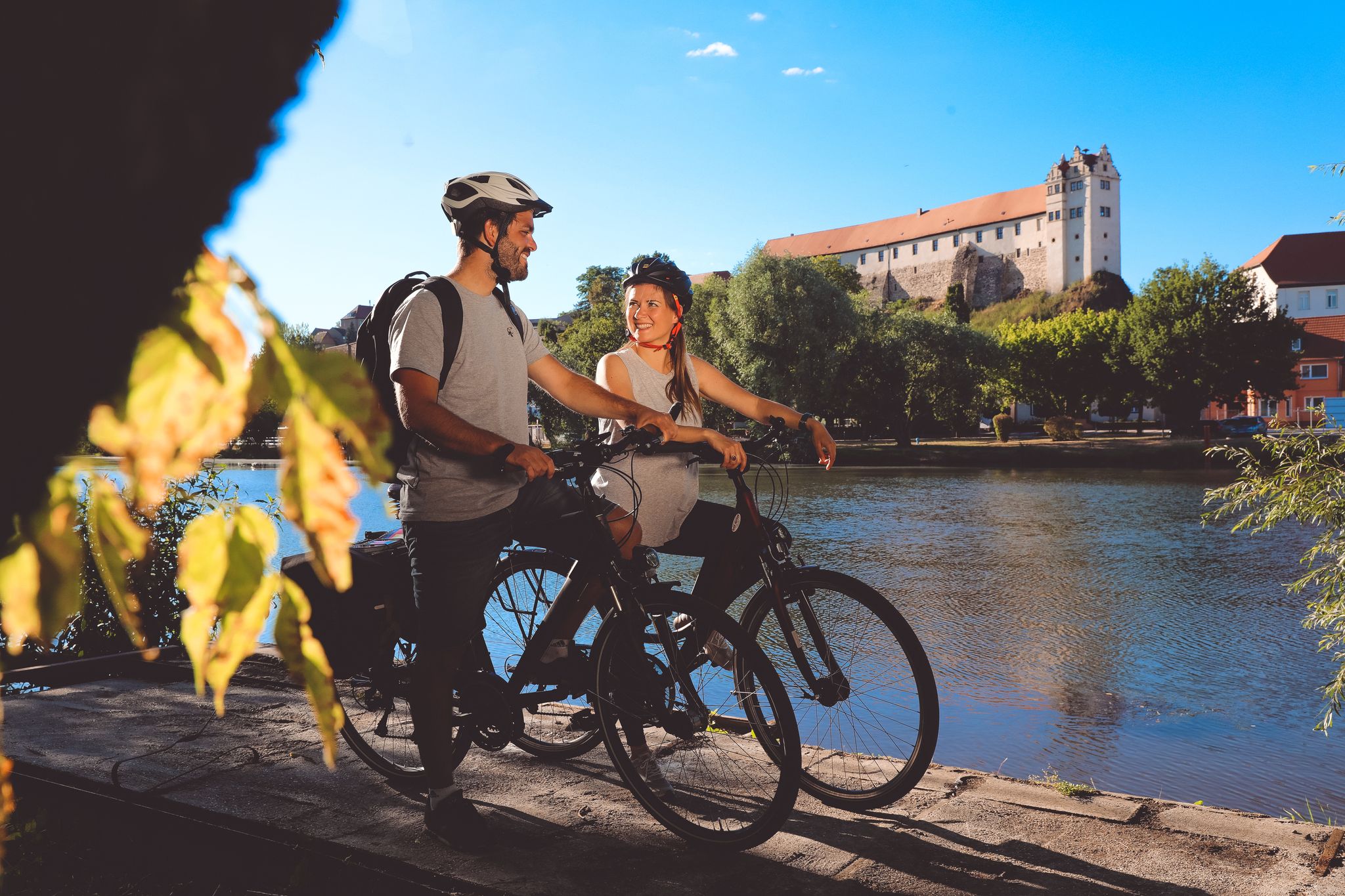
サーレサイクルパス — サーレの源流からエルベまでの9ステージ
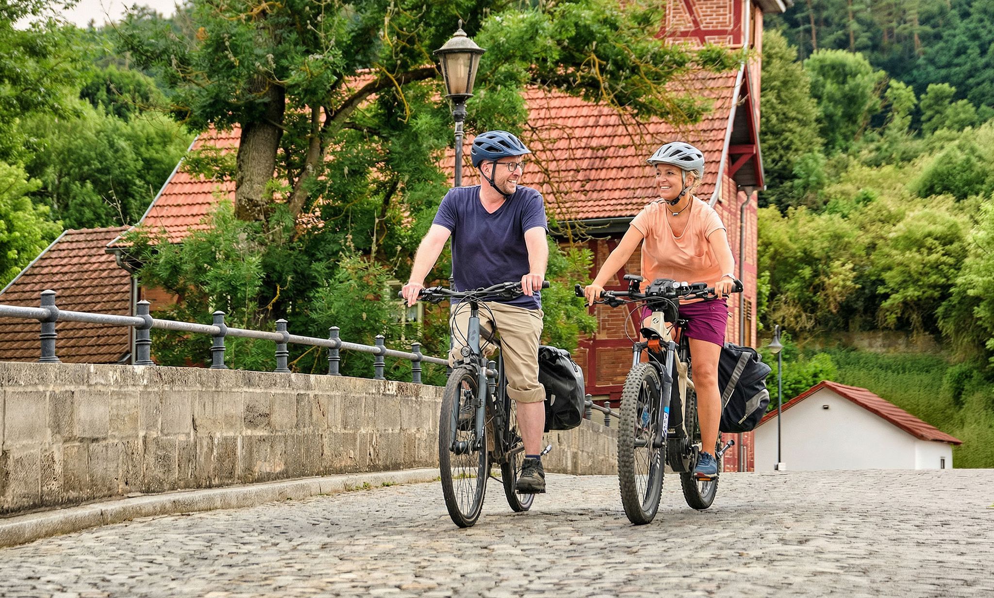
Leisure cycling and touring in Thuringia
From the metropolis to enjoyment – city hiking on the VGN
Nature, the outdoors and adventure – hiking through the VGN's nature parks
#GoFurther – discover the views of Germany!
バヴァリアのグラナイトの山峰と森でハイキング - Fichtelgebirge High Trail
Transbavaria - バワリアの北から南へ
D-Route 11 – Baltic Sea - Upper Bavaria
ホフでのの他の冒険


コミュニティからのヒント

The Frankenwarte (Frankenwarte) stands atop the 679-meter-high Hirschhügel (Hirschhügel). The eight-and-a-half-meter-high, round stone tower offers a panoramic view to the northeast, to the edge of the Höllental valley, to Lichtenberg and Bad Steben, and to the west to the hills near Nordhalben. To the south, Geroldsgrün, the 729-meter-high Spitzberg, and the 758-meter-high Schneidberg can be seen, and hidden behind them, the highest peak in the Franconian Forest, the 794-meter-high Döbraberg. To the southeast, the view extends to the Fichtel Mountains. The Frankenwarte was built and is maintained by the Franconian Forest Association. Plans to build an observation tower on the hill existed as early as 1930. However, the Frankenwarte was not inaugurated until August 12, 1951. In 2020, panoramic panels were installed on the parapet of the viewing platform, illustrating the towns and landscape features visible from here.
13
0

A beautiful little peak in the forest with benches and a summit cross. The altitude information is a bit confusing. The Hauknock is marked with 691 above sea level, while the sign right next to it says 675 above sea level.
1
0

Yes, you can enjoy the peace and quiet here. I almost drove past it
1
0

The trekking campsite is just a few meters below the summit plateau on the south-west side of the Döbra (near the mountain rescue hut). Furnishing: • 4 floor areas for 1 tent each • Fire pit with seating • Firewood supply • Drinks box • Water barrel (only service water, NO drinking water!) • Weather-protected outdoor toilet.
1
0
The Haidberg is on the edge of the Fichtelgebirge at 697 meters and is a striking scenic part of the Münchberg gneiss mass. It consists of serpentinite, a green-blue rock that derives its name from the Latin word serpens = snake because the surface is similar to a snake's skin. A geological peculiarity is the embedded magnetite, which pushes the compass needle out of its true direction even in small pieces of rock.
7
0

Pretty “summit” with a cozy bench to rest on. Unfortunately, this part of the forest is also affected by emergency clearing...
1
0

This trekking site is located directly on the Döbraberg, the highest mountain in the Franconian Forest, on the outskirts of the town of Schwarzenbach a.Wald. It is only a few meters below the summit plateau on the south-west side (sunset!) and offers a wonderful view. The FrankenwaldSteig and Frankenweg long-distance hiking trails are not far away. https://www.frankenwald-tourismus.de
1
0

Numerous hiking trails in the region lead past here. The Franconian Forest Association provides information in the entrance area about the special features of the tower and the region. There are plaques at the top to help you find your way around.
5
1

komootモバイルアプリでインスピレーションを得よう


探していたものは見つかりませんでしたか?
ホフの最高の山や頂上を地域ごとに発見しましょう:
さらに探索
これらのガイドでさらに素晴らしい頂上を見てみましょうホフでの:
