ドーバースドルフのおすすめウォーキング&ハイキングルート
4.5
(8719)
42,146
ハイカー
32
ハイキング
ドーバースドルフ 周辺でおすすめのハイキングやウォーキングを楽しんでいただけるように、このエリアの小径やルートを集めたkomootコレクション全体を見直しました。 以下で各ルートの詳細をご覧になり、ドーバースドルフ周辺の大自然を満喫する際の参考にしてください。
最終更新日: 10月 9, 2026
4.9
(10)
25
ハイカー
15.9km
04:07
80m
80m
中程度のハイキング. ある程度のフィットネスレベルが必要です。 進みやすいルートです。あらゆるスキルレベルに適しています。
4.7
(6)
26
ハイカー
4.78km
01:15
40m
40m
初級者向けハイキング. あらゆるフィットネスレベルに適しています。 進みやすいルートです。あらゆるスキルレベルに適しています。

3.6
(5)
12
ハイカー
8.41km
02:09
30m
30m
中程度のハイキング. ある程度のフィットネスレベルが必要です。 進みやすいルートです。あらゆるスキルレベルに適しています。
4.8
(6)
14
ハイカー
7.87km
02:04
60m
70m
中程度のハイキング. ある程度のフィットネスレベルが必要です。 進みやすいルートです。あらゆるスキルレベルに適しています。
4.7
(3)
12
ハイカー
5.10km
01:20
30m
30m
初級者向けハイキング. あらゆるフィットネスレベルに適しています。 進みやすいルートです。あらゆるスキルレベルに適しています。
さらに多くのルートや他のユーザーのおすすめ情報を確認できます。
すでにアカウントをお持ちですか?
おすすめのツアーは他のkomootユーザーが実際に経験した何千ものアクティビティに基づいています。
無料アカウントで今日から始めよう
次の冒険が待っています。

コミュニティからのヒント

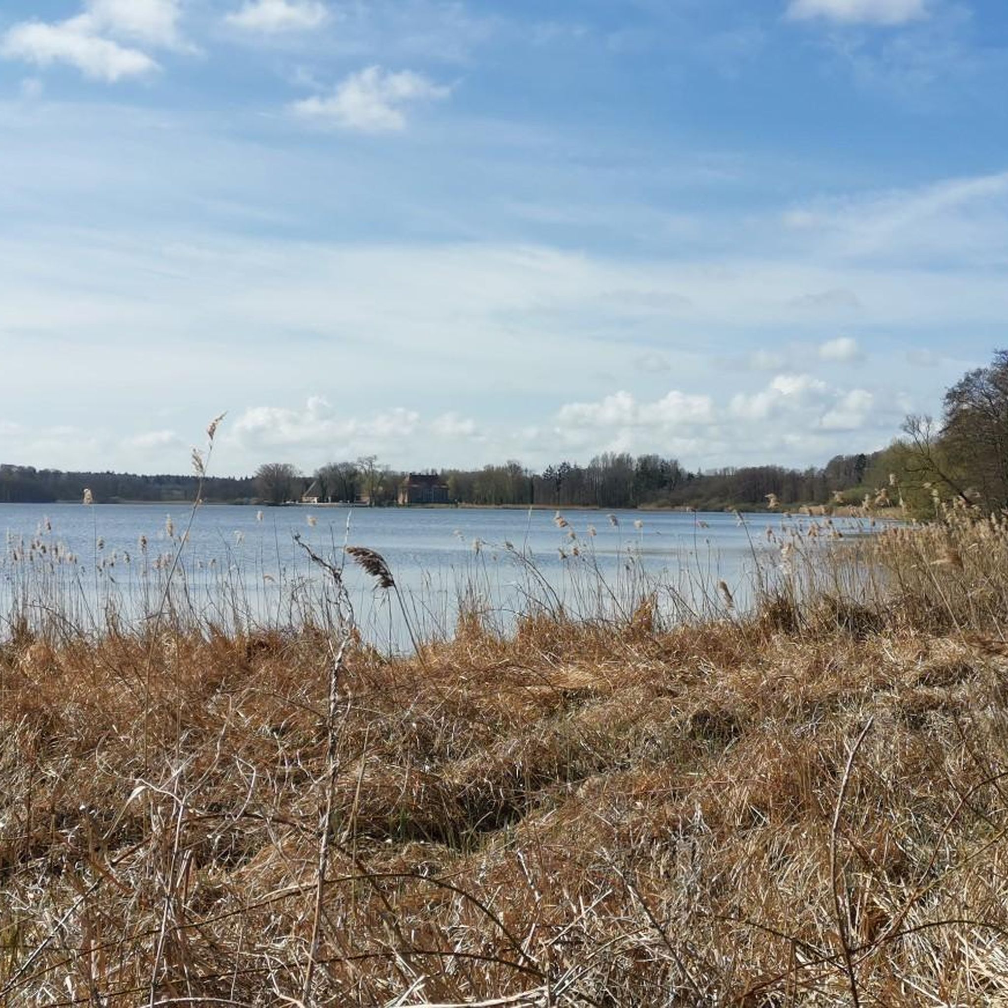
シュレースヴィヒ=ホルシュタイン州のドーバースドルフ湖では、個人所有の船舶、帆船、SUP、モーターボートによる一般的な航行は、原則として一般に禁止されています。
2
0


South of the castle park, a white bridge leads through the forest over the Hagener Au.
2
0
Incidentally, if it weren't for the large, yellow sign pointing to an archaeological monument, you would simply walk right past it. You see nothing but a bend in the path and a trail through the bushes with a small side path and a view of the lake.
1
0
On the southern shore of Lake Dobersdorf, in the Jasdorf district, lie the remains of a medieval motte-and-bailey castle. The mound, approximately 30 meters wide and 5 meters high, was originally surrounded by a ditch and rampart. During World War II, the northern section was significantly altered by a bomb hit and subsequent earthworks; the ditch there has now been widened into a pond. So says the information panel, but there's no sign of it! The site is dated to the 13th-14th century and has been a protected historical monument since 1968.
1
0
The sign – and thus the highlight – is misleading: there is no longer a bridge here. And therefore, no crooked one either. However, there is another sign further north: Crooked Bridge.
1
1
ドーバースドルフでのの人気観光スポット

komootモバイルアプリでインスピレーションを得よう


さらに探索
他の地域の最高のハイキングを見てみましょう。
