ルーヴィンケルのおすすめウォーキング&ハイキングルート
4.5
(3158)
10,173
ハイカー
18
ハイキング
ルーヴィンケル 周辺でおすすめのハイキングやウォーキングを楽しんでいただけるように、このエリアの小径やルートを集めたkomootコレクション全体を見直しました。 以下で各ルートの詳細をご覧になり、ルーヴィンケル周辺の大自然を満喫する際の参考にしてください。
最終更新日: 10月 8, 2026
4.6
(129)
383
ハイカー
11.0km
02:52
70m
70m
中程度のハイキング. ある程度のフィットネスレベルが必要です。 進みやすいルートです。あらゆるスキルレベルに適しています。
4.7
(7)
34
ハイカー
5.71km
01:29
40m
40m
初級者向けハイキング. あらゆるフィットネスレベルに適しています。 進みやすいルートです。あらゆるスキルレベルに適しています。

5.0
(5)
18
ハイカー
6.29km
01:38
40m
40m
初級者向けハイキング. あらゆるフィットネスレベルに適しています。 進みやすいルートです。あらゆるスキルレベルに適しています。
4.8
(4)
21
ハイカー
5.67km
01:28
30m
30m
初級者向けハイキング. あらゆるフィットネスレベルに適しています。 進みやすいルートです。あらゆるスキルレベルに適しています。
4.8
(4)
22
ハイカー
5.04km
01:18
30m
30m
初級者向けハイキング. あらゆるフィットネスレベルに適しています。 進みやすいルートです。あらゆるスキルレベルに適しています。
さらに多くのルートや他のユーザーのおすすめ情報を確認できます。
すでにアカウントをお持ちですか?
おすすめのツアーは他のkomootユーザーが実際に経験した何千ものアクティビティに基づいています。
無料アカウントで今日から始めよう
次の冒険が待っています。

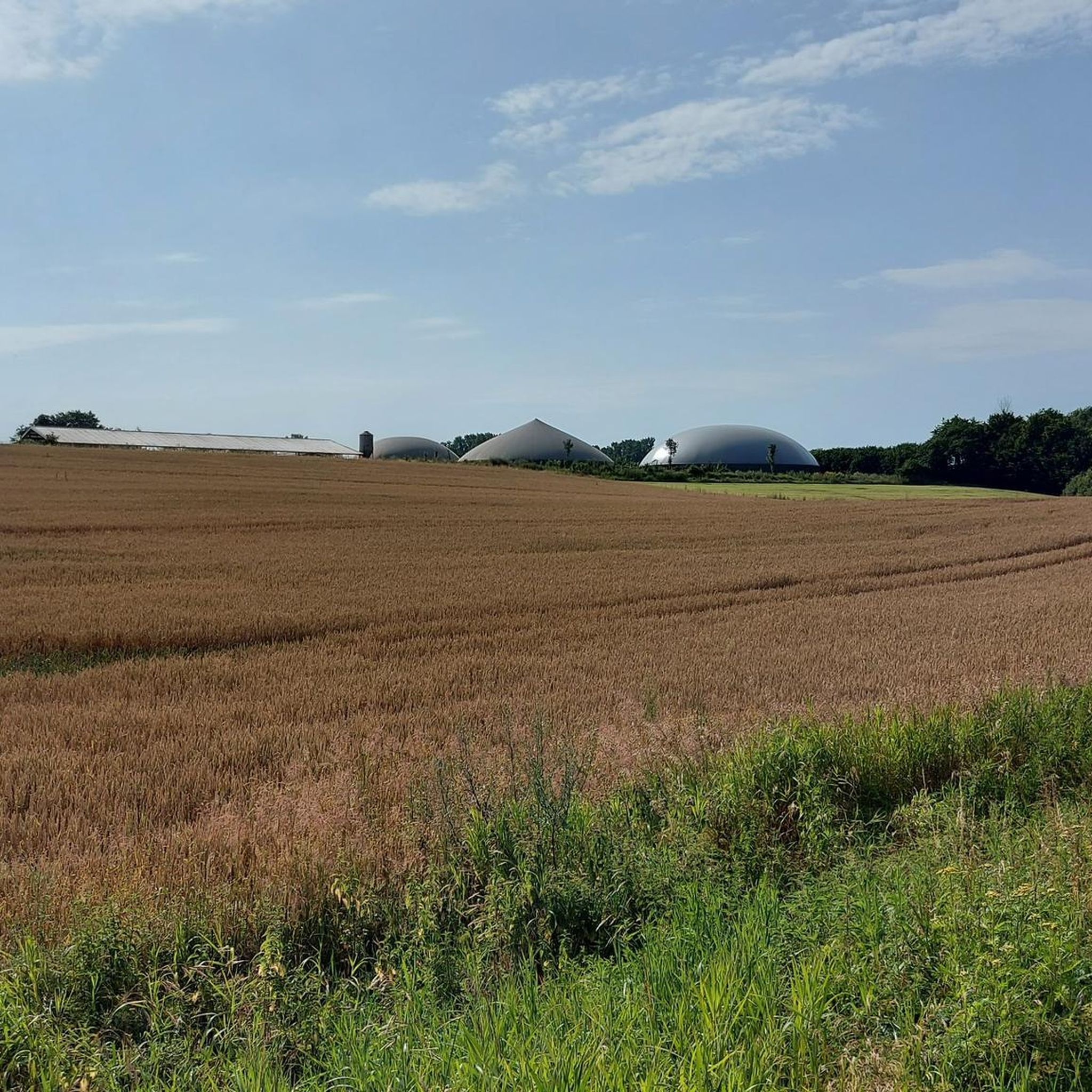
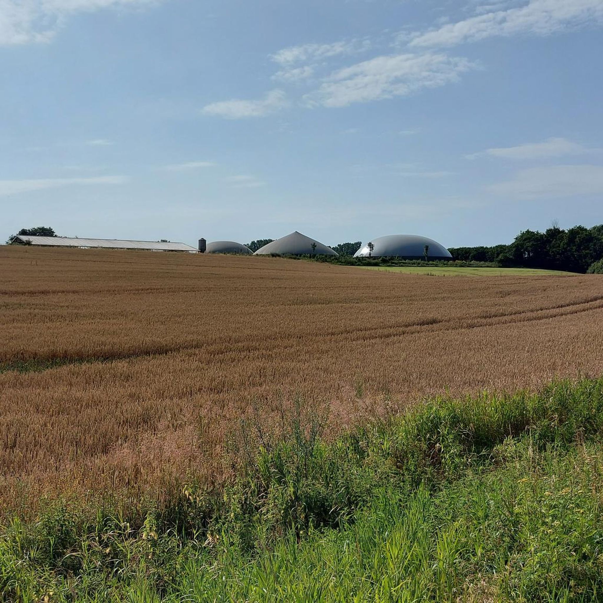
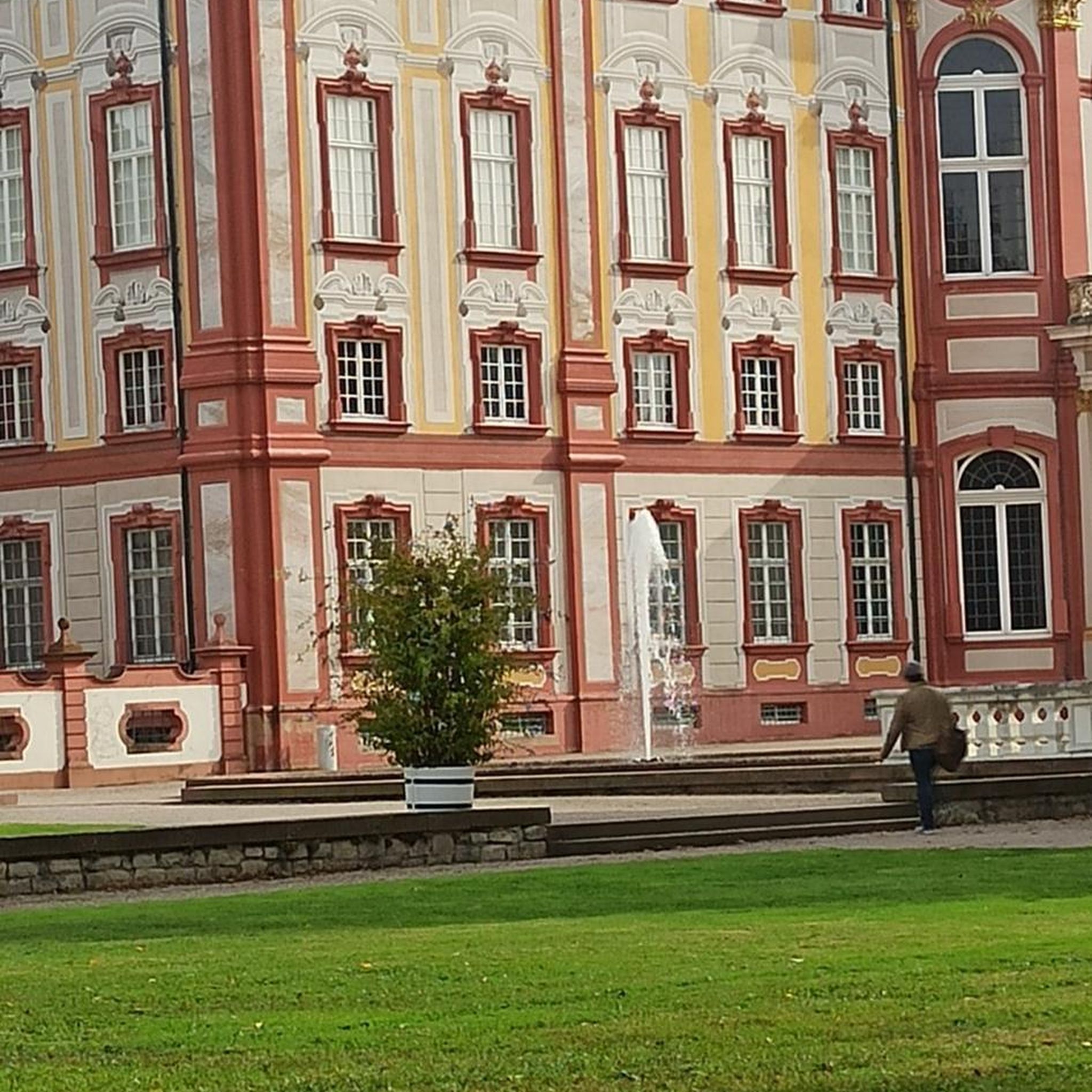
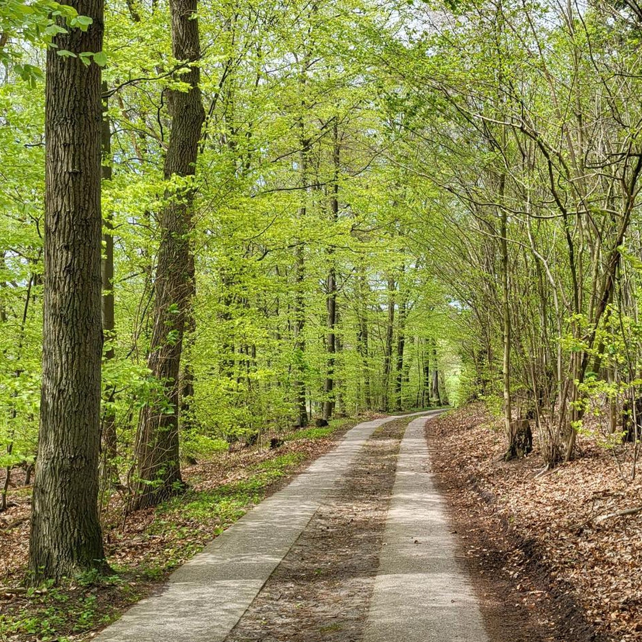
コミュニティからのヒント

Although the Perdöler Weg is a paved road, the view of this beautiful avenue is truly a postcard.
3
0
The glassworks and brickworks in Ruhwinkel consumed vast quantities of wood until the 19th century, creating large open spaces that were later sustainably reforested by Holten Fürchtegott and Magdalene von Trepka. Today, these forests serve both forestry and nature conservation, providing habitat for animals and plants, and continue to provide important data for environmental and climate research.
2
0
From the slightly elevated Belauer Straße you have a certain view of the lake.
1
0
A wooden cross, approximately 3 meters tall, stands here on a raised meadow near Vierer Weg. From here, you have a wonderful view over Lake Schmalensee.
3
0
Information board: "To distract themselves from the arduousness of the walk, there was a lot of singing, storytelling, and teasing along the way. For the children and young people, the walk was a part of their leisure time, because once they got home, they were firmly integrated into the family's daily routine and work routine. These footpaths were chosen so that they could be used in all seasons; without leaving too many marks on shoes and clothes. These had to be cared for at all times, as funds for new clothing were limited. While routes 1, 2, and 3 primarily took children to the Lütt and Grootschools, route 4 takes a shortcut towards Altekoppel and the swimming area. The narrow path no. 6 on the back of the Vierer Berg shortened the route via the "Stech" to Belau or the former Schönböken train station."
2
0
The Hollenbek River rises in Mißmaaßen. This is notable because the Drögen Eider River rises 500 meters further west. Thus, this is where the boundary between the North Sea and Baltic Sea drainages runs.
2
0
The riverside path through the mixed forest is very pleasant to walk on. The proximity to the riverbank is barely noticeable in summer, as the undergrowth almost completely blocks the view. The large oak trees are striking, indicating the path's great age.
1
1
The view of the lake from this lakeside path is very limited in summer. Nevertheless, the path is pleasantly walkable. The large ancient oak trees are striking, indicating the path's great age.
1
1
ルーヴィンケルでのの人気観光スポット

komootモバイルアプリでインスピレーションを得よう


さらに探索
他の地域の最高のハイキングを見てみましょう。
